The best walks and hikes around Saint-Vincent-D'Olargues
4.5
(1251)
7,953
hikers
182
hikes
Hiking around Saint-Vincent-D'Olargues offers diverse terrain within the Parc Naturel Régional du Haut-Languedoc. The region acts as a transition zone between the Massif Central and the Mediterranean Sea, featuring a variety of landscapes including mountains, deep gorges, forests, and rivers. This topography provides a range of hiking experiences, from challenging mountain trails to paths through valleys and woodlands.
Best hiking trails around Saint-Vincent-D'Olargues
- The most popular hiking route is Hike from Malvies and Pic de Naudech – loop from Olargues – Parc naturel régional du Haut Languedoc, a 11.4 miles (18.3 km) trail that takes 5 hours 40 minutes to complete. This difficult loop explores the Parc naturel régional du Haut Languedoc, including the Pic de Naudech.
- Another top favourite among local hikers is Tour d'Olargues – Pont du Diable loop from Olargues, a moderate 4.6 miles (7.4 km) path. This route offers a circular walk around Olargues, passing by the Pont du Diable.
- Local hikers also love the Pont du Diable – Tour d'Olargues loop from Olargues, a 7.8 miles (12.6 km) trail leading through the area around Olargues and the Pont du Diable, often completed in about 3 hours 44 minutes.
- Hiking around Saint-Vincent-D'Olargues is defined by the mountainous Massif du Caroux, deep gorges like Gorges d'Héric, and extensive forests. The network offers options for different ability levels, with more than 30 easy, over 60 moderate, and more than 70 difficult routes available.
- The routes in Saint-Vincent-D'Olargues are highly rated by the komoot community with an average score of 4.5 stars from over 1200 reviews. More than 8000 hikers have used komoot to explore Saint-Vincent-D'Olargues's varied terrain.
Last updated: May 14, 2026
4.6
(7)
60
hikers
Hard hike. Very good fitness required. Mostly accessible paths. Sure-footedness required.
4.5
(22)
60
hikers
7.57km
02:10
180m
180m
Moderate hike. Good fitness required. Easily-accessible paths. Suitable for all skill levels.

Sign up for free
4.3
(3)
13
hikers
12.6km
03:44
360m
360m
Moderate hike. Good fitness required. Easily-accessible paths. Suitable for all skill levels.
4.7
(3)
14
hikers
18.5km
07:13
1,130m
1,120m
Hard hike. Very good fitness required. Mostly accessible paths. Sure-footedness required.
5.0
(2)
10
hikers
10.6km
04:26
680m
680m
Moderate hike. Good fitness required. Mostly accessible paths. Sure-footedness required.
Get access to more routes and recommendations from other explorers.
Sign up for free
Already have an account?
Our route recommendations are based on thousands of hikes, rides, and runs completed by other people on komoot.
Start today with a free account
Your next adventure awaits.
Login or Signup

Tips from the Community


There's nothing devilish about it 😉. The bridge is ingeniously constructed, historic, elegant, and a practical connection.
2
0

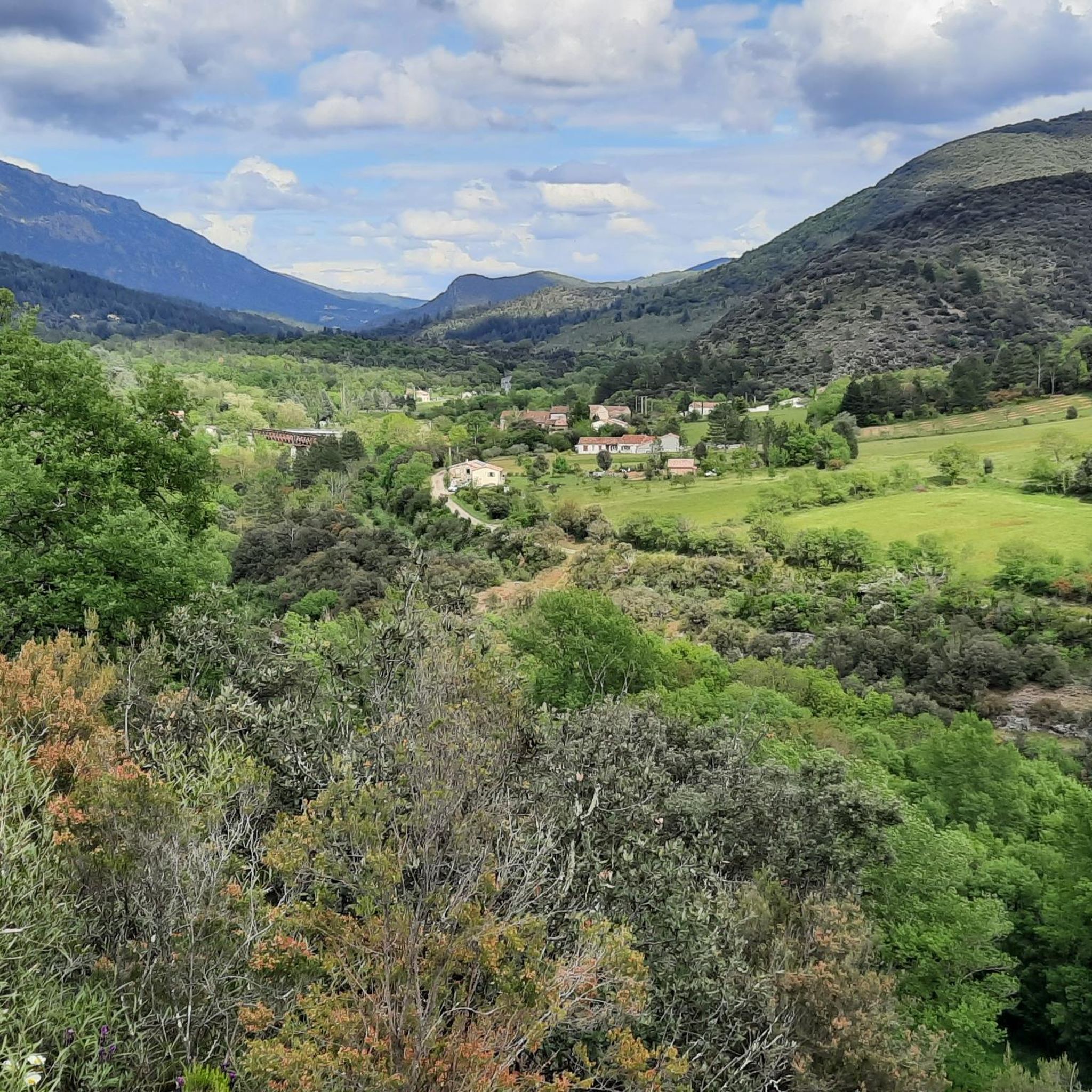
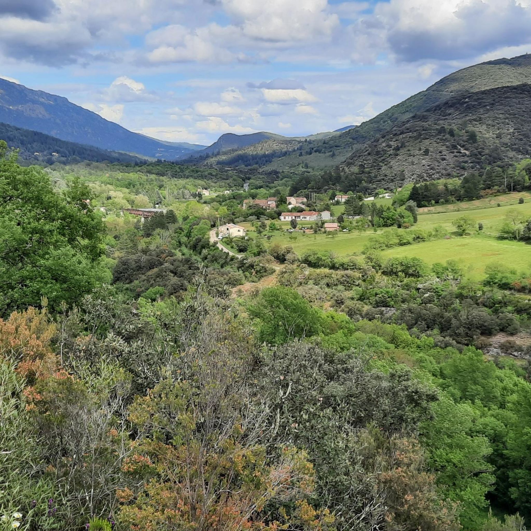
This charming medieval village is located between Mazamet and Bédarieux. Its emblematic Devil's Bridge, its small streets and its views of the Montagne Noire are worth a detour.
1
0

"summit happiness" The panoramic view from up here will never be forgotten
1
0

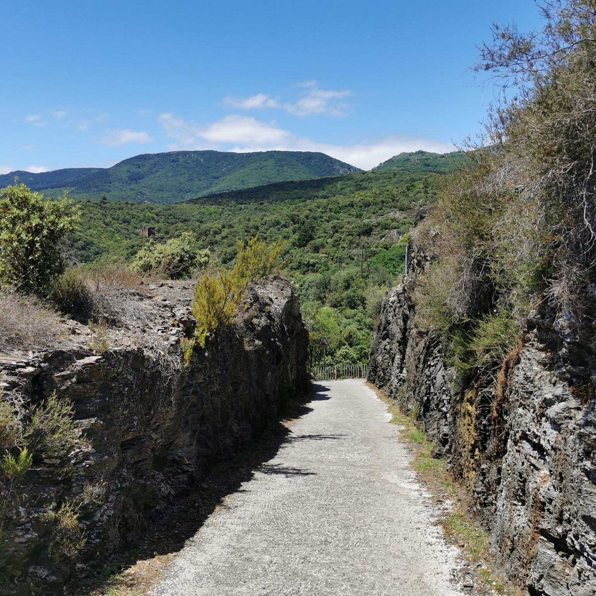
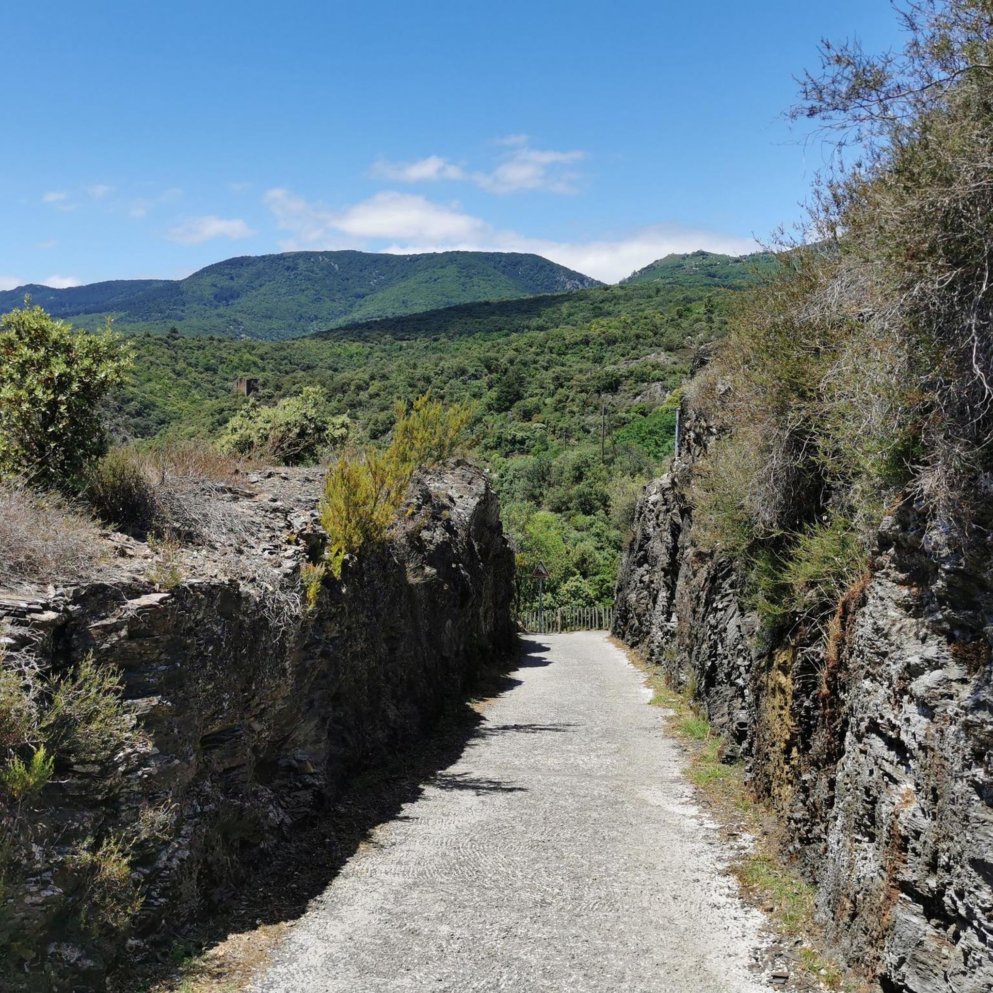
a former railway line between Mazamet and Bédarieux transformed into a greenway with swimming possibilities Made during the heatwave fortunately it was shaded at times
2
0


Very pretty and authentic village! Navigating the streets dating back to the Middle Ages by bike is quite difficult but allows you to marvel at every turn. The view from the Devil's Bridge is superb!
0
1
Frequently Asked Questions
What kind of hiking experiences can I expect around Saint-Vincent-D'Olargues?
Saint-Vincent-D'Olargues is located within the Parc Naturel Régional du Haut-Languedoc, offering a diverse range of landscapes. You'll find everything from challenging mountain trails in the Massif du Caroux and Espinouse to more gentle walks through valleys, forests, and vineyards. The region acts as a transition zone between the Massif Central and the Mediterranean Sea, ensuring varied topography for all hikers.
Are there many hiking trails available in the Saint-Vincent-D'Olargues area?
Yes, the region boasts an extensive network of trails. There are over 170 hiking routes recorded, catering to various skill levels. You can choose from more than 30 easy, over 60 moderate, and more than 70 difficult routes.
Are there any circular hiking routes near Saint-Vincent-D'Olargues?
Absolutely. Many routes in the area are circular, allowing you to start and end in the same location. For example, the moderate Tour d'Olargues – Pont du Diable loop from Olargues is a popular choice, or for a longer option, consider the difficult Hike from Malvies and Pic de Naudech – loop from Olargues – Parc naturel régional du Haut Languedoc.
What natural features or landmarks can I see while hiking?
The region is rich in natural beauty. You can explore dramatic areas like the Héric Gorge with its cascading waterfalls, or discover the unique rounded rock formations of the Sidobre Massif. Other notable highlights include the Gouffre du Cerisier Natural Pool and Waterfall and various mountain passes such as the L'Espinouse Pass (1,124 m).
Are there any viewpoints offering panoramic views?
Yes, the mountainous terrain provides several excellent viewpoints. The Orientation table at Mont Caroux is a prime spot for distant views. You can also find scenic vistas from the Viewpoint of the Cabrière trail and various mountain passes.
Can I find trails suitable for families with children?
While specific family-friendly routes are not detailed, the presence of over 30 easy routes suggests options for less strenuous walks. The diverse topography, including forests and river areas, offers pleasant environments for family outings. Look for routes with lower elevation gain and shorter distances.
Are there opportunities for wild swimming or natural pools?
Yes, the Gorges d'Héric are known for their crystal-clear waters, offering spots for swimming. Additionally, the Gouffre du Cerisier Natural Pool and Waterfall is a specific highlight where you can enjoy natural pools.
What do other hikers say about the trails in Saint-Vincent-D'Olargues?
The hiking trails in Saint-Vincent-D'Olargues are highly regarded by the komoot community, with an average rating of 4.5 stars from over 1200 reviews. Hikers often praise the varied terrain, the beauty of the Parc Naturel Régional du Haut-Languedoc, and the extensive network of paths.
Are there any long-distance hiking trails in the area?
The Parc Naturel Régional du Haut-Languedoc, where Saint-Vincent-D'Olargues is situated, includes sections of four long-distance GR routes, one of which is a St-Jacques-de-Compostelle path. There are also greenways like the 'Passa Païs', a 78 km route suitable for walking, cycling, or horseback riding, offering extended exploration opportunities.
What is the best time of year to go hiking in Saint-Vincent-D'Olargues?
Given its location between the Massif Central and the Mediterranean, the region generally offers pleasant hiking conditions for much of the year. Spring and autumn typically provide mild temperatures and beautiful scenery, ideal for exploring. Summer can be warm, especially in lower elevations, but higher mountain trails offer cooler options. Winter might see snow in the higher Massif du Caroux and Espinouse areas.
Are there any historical or cultural points of interest along the trails?
Beyond natural wonders, you can encounter historical elements such as the Olargues Railway Bridge, a notable landmark. The village of Olargues itself is classified as one of the 'Most Beautiful Villages of France' and offers a rich historical context to your hikes.
Can I bring my dog on the hiking trails?
The Parc Naturel Régional du Haut-Languedoc generally welcomes dogs, but specific rules may apply to certain protected areas or during particular seasons (e.g., nesting periods for birds). It's always advisable to keep your dog on a leash, especially in areas with wildlife or livestock, and to check local regulations for any specific trail restrictions.
Most popular routes around Saint-Vincent-D'Olargues
Most popular attractions around Saint-Vincent-D'Olargues

Get inspired with the komoot mobile app


Explore more
Browse the best Hikes in other regions.
