The best walks and hikes around Gasville-Oisème
4.7
(317)
2,569
hikers
221
hikes
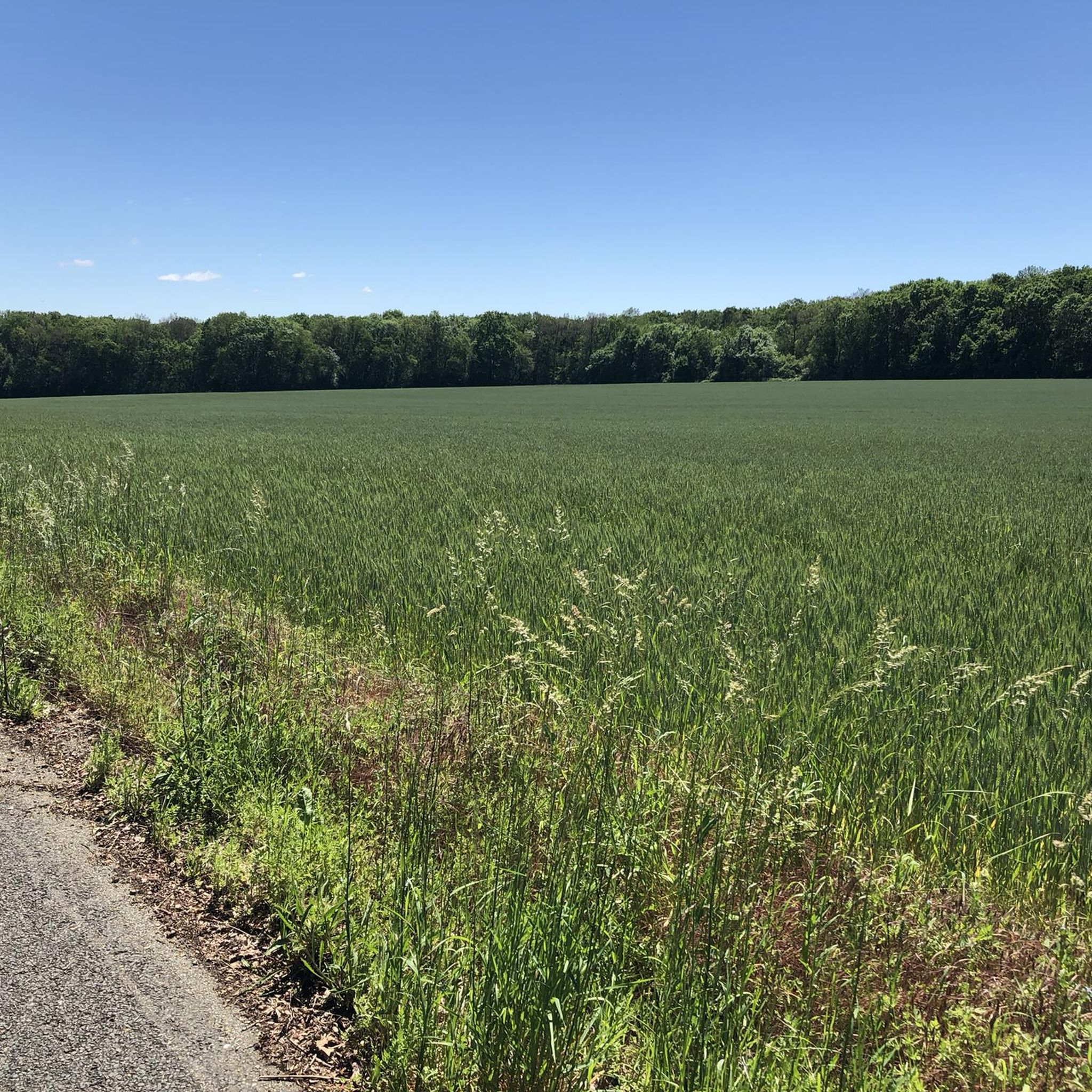
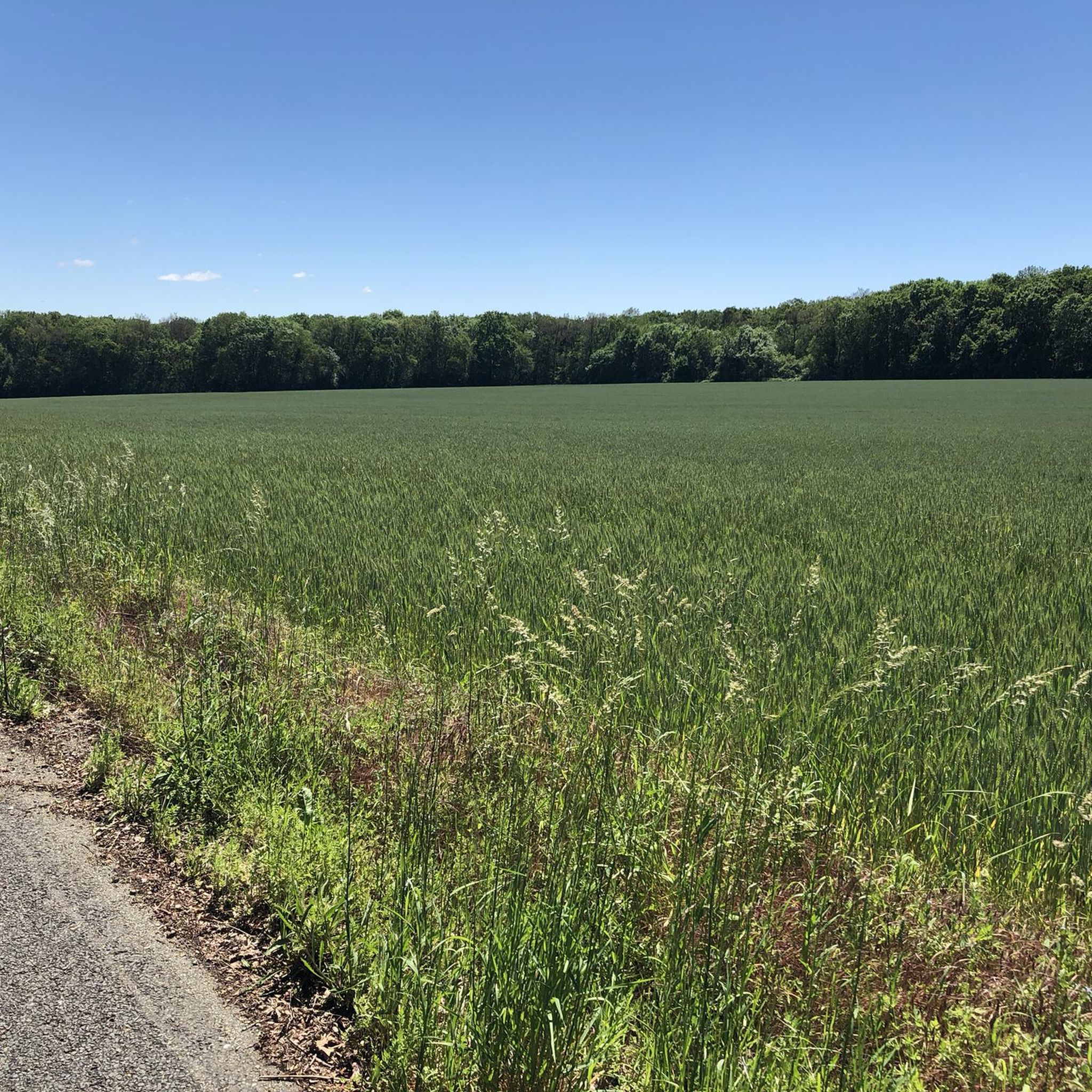
Hiking around Gasville-Oisème offers access to a landscape characterized by gentle river valleys, agricultural fields, and pockets of woodland. The terrain generally features low elevation changes, making it suitable for a variety of activity levels. This region provides numerous opportunities to explore the natural environment and local paths.
Best hiking trails around Gasville-Oisème
- The most popular hiking route is Roguenette Valley Trail, a 4.7 miles (7.6 km) moderate trail that takes 1 hour 59 minutes to complete, leading through…
Last updated: July 7, 2026
4.0
(3)
10
hikers
7.59km
01:59
60m
60m
Hike a 4.7-mile loop from Gasville-Oisème, exploring the Small Lock of the Roguenette and a section of the old Chartres-Gallardon railway.
22
hikers
18.8km
04:51
100m
100m
Moderate hike. Good fitness required. Easily-accessible paths. Suitable for all skill levels.

Sign up for free
4.4
(7)
25
hikers
Easy hike. Great for any fitness level. Easily-accessible paths. Suitable for all skill levels.
5.0
(4)
40
hikers
7.75km
02:00
40m
40m
Easy hike. Great for any fitness level. Easily-accessible paths. Suitable for all skill levels.
4.3
(4)
13
hikers
Moderate hike. Good fitness required. Easily-accessible paths. Suitable for all skill levels.
Get access to more routes and recommendations from other explorers.
Sign up for free
Already have an account?
Our route recommendations are based on thousands of hikes, rides, and runs completed by other people on komoot.
Start today with a free account
Your next adventure awaits.
Login or Signup



Tips from the Community

Don’t bring too much luggage. Leave most of your things in the baggage that will be transported by the trucks, and when walking, carry no more in your backpack than the essential supplies, medical items, and, if needed, rain or sun protection. And wear whatever you feel most comfortable in. For footwear, though, regular sneakers or athletic shoes are really recommended rather than stiff hiking boots.
0
0

The mural commemorates Jean Moulin (at the Place Jean Moulin of the same name), he was an important leader of the French Resistance.
0
0

The half-timbered house dates back to the 15th century and takes its name from the fish carved into its facade. After severe damage in 1944, it was rebuilt and now houses the tourist office.
0
0
This beautiful ensemble of buildings from the 15th, 17th, and 18th centuries is a listed historic monument. In the reception rooms and noble spaces such as the vestibule, the Italian Hall, and the chapel, you will discover collections of paintings, sculptures, objets d'art, and ethnographic objects spanning the period from the 13th to the 20th centuries. Stroll through the works of Léonard Limosin, Teniers, Zurbaran, Rigaud, Fragonard, Chardin, Préault, Corot, Vlaminck, Soutine, and Henri Navarra.
0
0

Great location, and great game store across the street!
0
1
Very pretty market place day and night.
0
0

Frequently Asked Questions
How many hiking trails are available in Gasville-Oisème?
Gasville-Oisème offers a wide selection of routes, with over 195 hiking trails recorded on komoot. This includes a good mix of easy, moderate, and a few more challenging options to explore the region's gentle river valleys and woodlands.
Are there many easy hiking trails in Gasville-Oisème?
Yes, the region is particularly well-suited for easy hikes. There are over 110 easy trails, making it ideal for relaxed strolls. An example is the Small Lock of the Roguenette – Charles de Gaulle Page Path loop from Gasville-Oisème, which is an easy 7.3 km (4.5 miles) path.
Are there hiking trails suitable for families with children in Gasville-Oisème?
Absolutely. The landscape around Gasville-Oisème features gentle terrain and low elevation changes, making many trails suitable for families with children. Look for the 'easy' graded routes, such as the Very narrow old bridge loop from Lèves, which is a shorter 4.3 km (2.7 miles) option.
Are dogs allowed on hiking trails in Gasville-Oisème?
Generally, dogs are welcome on trails in Gasville-Oisème, especially in rural and woodland areas. However, it's always recommended to keep them on a leash, particularly near agricultural fields or in areas where wildlife might be present. Please respect local signage regarding dog access.
What kind of terrain can I expect on hikes in Gasville-Oisème?
The terrain in Gasville-Oisème is characterized by gentle river valleys, agricultural fields, and pockets of woodland. You can expect mostly flat or gently rolling paths with low elevation changes, making it accessible for various fitness levels. Trails often follow riverbanks or traverse open countryside.
Are there any circular hiking routes in Gasville-Oisème?
Yes, many of the trails in Gasville-Oisème are designed as loops, offering convenient starting and ending points. For instance, the Superb city views loop from Halle Jean Cochet is a 6.4 km (4 miles) easy loop that provides scenic views.
What can I see along the hiking trails in Gasville-Oisème?
Beyond the natural beauty of river valleys and woodlands, you can discover historical and cultural points of interest. Nearby attractions include the magnificent Chartres Cathedral, the historic Guillaume Gate, and the charming Vegetable Market in Chartres, which can be incorporated into your hiking plans.
What do other hikers enjoy most about hiking in Gasville-Oisème?
The area is highly rated by the komoot community, with an average score of 4.6 stars from over 250 reviews. Hikers often praise the peaceful atmosphere, the well-maintained paths along the riverbanks, and the accessibility of the trails for all skill levels. The scenic views of the countryside and historical sites are also frequently mentioned.
Is parking available at trailheads in Gasville-Oisème?
Parking is generally available near popular trailheads and in the villages surrounding Gasville-Oisème. While specific parking details vary by route, you can usually find designated parking areas or street parking in residential zones close to the start of many trails.
Can I access hiking trails in Gasville-Oisème using public transport?
Access to trailheads via public transport in Gasville-Oisème can be limited, as many routes start from smaller villages or rural areas. It's advisable to check local bus schedules or consider driving to the starting points. Some trails might be accessible from larger towns like Chartres, which has better public transport links.
Are there any moderate hiking trails for a bit more challenge?
Yes, while many trails are easy, there are also moderate options for those seeking a slightly longer or more varied experience. The Roguenette Valley Trail is a popular moderate route, covering 7.6 km (4.7 miles) with gentle elevation changes through scenic landscapes.
Most popular routes around Gasville-Oisème
Most popular attractions around Gasville-Oisème

Get inspired with the komoot mobile app


Explore more
Browse the best Hikes in other regions.
