The best running trails around Saint-Léger-De-Montbrillais
3.8
(7)
275
runners
44
runs
Jogging routes around Saint-Léger-De-Montbrillais offer varied landscapes in the Vienne department of western France. The terrain is characterized by vineyards, cereal plains, and numerous paths that traverse the commune. The area features gentle elevation changes, with altitudes ranging from 42 to 143 meters, making it suitable for various fitness levels. Historical elements, such as ancient dolmens and Romanesque churches, are often encountered along the routes.
Best jogging routes around Saint-Léger-De-Montbrillais
- The most popular jogging route is Running loop from Château…
Last updated: July 6, 2026
4.5
(2)
29
runners
Moderate run. Good fitness required. Mostly paved surfaces. Suitable for all skill levels.
4.0
(1)
6
runners
15.3km
01:36
40m
40m
Hard run. Very good fitness required. Mostly paved surfaces. Suitable for all skill levels.

Sign up for free
9
runners
15.1km
01:34
40m
40m
Hard run. Very good fitness required. Mostly paved surfaces. Suitable for all skill levels.
5.0
(1)
7
runners
Moderate run. Good fitness required. Mostly paved surfaces. Suitable for all skill levels.
3
runners
8.27km
00:51
20m
20m
Moderate run. Good fitness required. Mostly paved surfaces. Suitable for all skill levels.
Get access to more routes and recommendations from other explorers.
Sign up for free
Already have an account?
Our route recommendations are based on thousands of hikes, rides, and runs completed by other people on komoot.
Start today with a free account
Your next adventure awaits.
Login or Signup


Tips from the Community

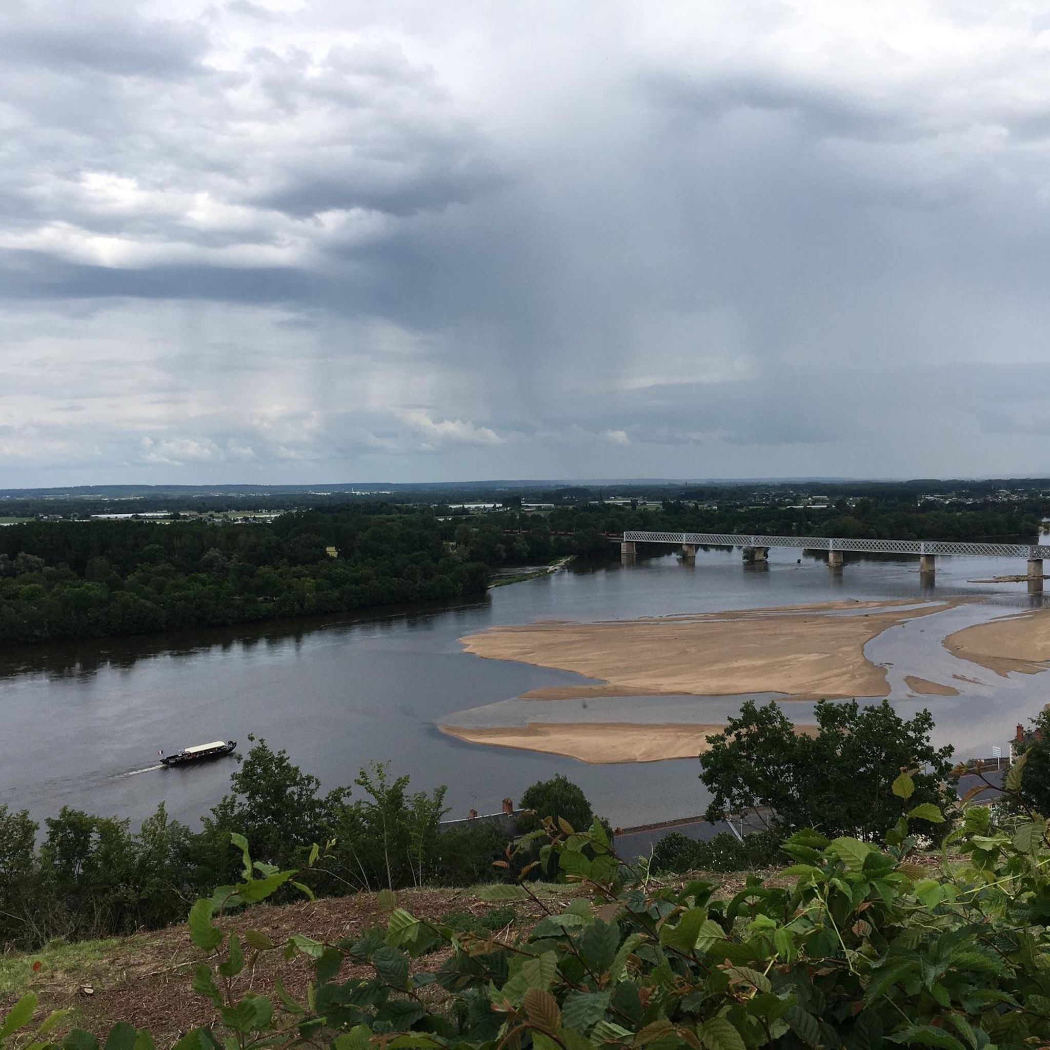
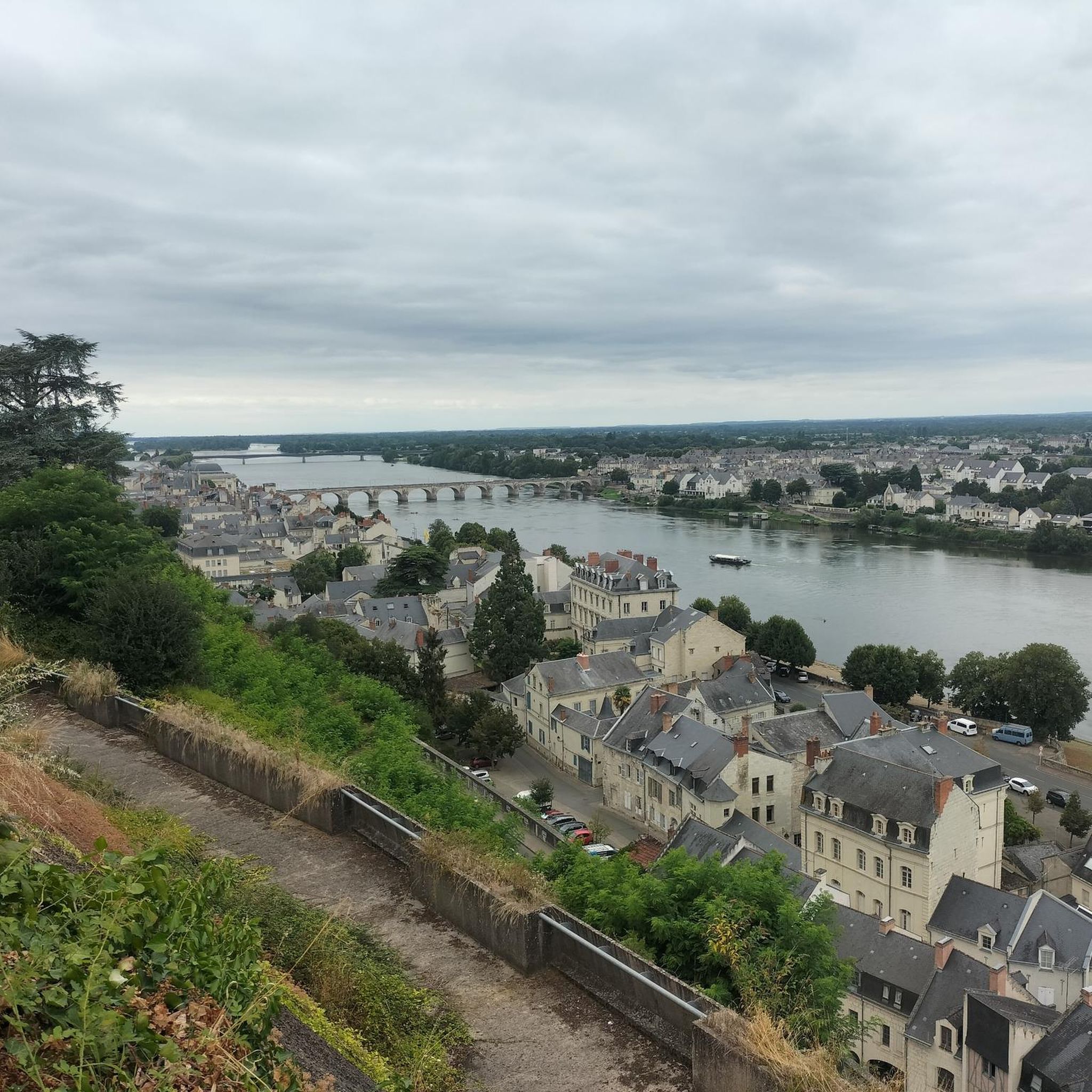
Atypical castle certainly but inaccessible to obtain the same point of view as that of the shared photos. The visit of this castle is possible but paying. 8€ which are certainly worth it. You still need to be aware, and know that your bike must remain in the parking lot during this period.
2
0

Atypical castle abandoned then taken over since 2017! The vegetation has regained its rights and leaves unusual views!
1
0
Frequently Asked Questions
How many running routes are available around Saint-Léger-de-Montbrillais?
There are over 40 running routes in the Saint-Léger-de-Montbrillais area, offering a variety of experiences through fields, woodlands, and historical landscapes. These routes cater to different fitness levels, with most being moderate and a few challenging options.
What kind of terrain can I expect on the jogging trails in this region?
The terrain around Saint-Léger-de-Montbrillais is varied, featuring a mix of open fields and dense woodlands. You'll find paths that often pass by historical built heritage and natural features. The elevation changes are generally gentle, making it suitable for a range of running abilities.
Are there any running routes that pass by historical landmarks or points of interest?
Yes, many routes in the region weave through local heritage. For example, the Dolmen de la Fontaine du Son loop from Château de la Mothe-Chandeniers takes you past ancient megalithic sites. You might also encounter traditional houses and churches. Nearby attractions like Montreuil-Bellay Castle and La Mothe-Chandeniers Castle are also within reach for exploration after your run.
What are the options for longer or more challenging running routes?
For a more challenging experience, consider the Running loop from Château de la Mothe-Chandeniers, which is a difficult 15.3 km path. This route provides a longer running experience through the varied fields and woodlands of the area, with slightly more elevation gain.
Are there any family-friendly running routes in Saint-Léger-de-Montbrillais?
While specific 'family-friendly' designations aren't always explicit, many of the moderate routes with gentle elevation changes are suitable for families. The presence of a children's play area and picnic spots in Saint-Léger-de-Montbrillais suggests a welcoming environment for outdoor activities with children. Look for shorter, less challenging loops to start.
Can I bring my dog on the running trails?
The hiking circuits around Saint-Léger-de-Montbrillais are generally accessible, and many are suitable for dogs, especially those that traverse fields and woodlands. However, it's always recommended to keep your dog on a leash, especially near agricultural areas or wildlife, and to check local signage for any specific restrictions.
What do other runners say about the trails in Saint-Léger-de-Montbrillais?
The running routes in Saint-Léger-de-Montbrillais are highly rated by the komoot community, with an average score of 4.0 stars. Runners often praise the varied terrain, the peaceful atmosphere of the fields and woodlands, and the opportunity to discover local heritage along the paths.
Are there any circular running routes available?
Yes, many of the routes in the area are designed as loops, offering convenient circular options. For instance, the Running loop from Les Trois-Moutiers is a 14.7 km circular trail that leads through agricultural landscapes and local villages.
Where can I find parking for the running trails?
Many of the established hiking circuits, which are ideal for running, often have designated starting points with parking facilities. The region's focus on outdoor leisure, including a camping car area, suggests that parking is generally available near popular trailheads. Specific parking information is usually detailed on individual route pages.
What is the best season to go jogging in Saint-Léger-de-Montbrillais?
The region's varied landscapes of fields and woodlands make it pleasant for jogging across multiple seasons. Spring and autumn offer mild temperatures and beautiful scenery. Summer can be enjoyable, especially in the mornings or evenings, while winter runs can be refreshing, though some paths might be muddier after rain.
Are there any shorter, moderate running routes suitable for a quick jog?
Yes, for a moderate and slightly shorter option, you can explore the Running loop from Balloire. This route covers approximately 8.3 km and offers a pleasant run through the local scenery without excessive duration or difficulty.
What kind of natural features can I expect to see while running?
The region is characterized by its beautiful landscapes at the intersection of three French regions, offering diverse natural scenery. You'll run through expansive fields and peaceful woodlands. While specific waterfalls aren't prominent, you might encounter features like the Ballastière Pond or ancient troglodyte dwellings, adding natural and historical interest to your run.
Most popular routes around Saint-Léger-De-Montbrillais
Most popular attractions around Saint-Léger-De-Montbrillais

Get inspired with the komoot mobile app


Explore more
Browse the best Running Trails & Routes in other regions.
