The best walks and hikes around Saint-Martin-De-Londres
4.4
(2468)
19,859
hikers
279
hikes
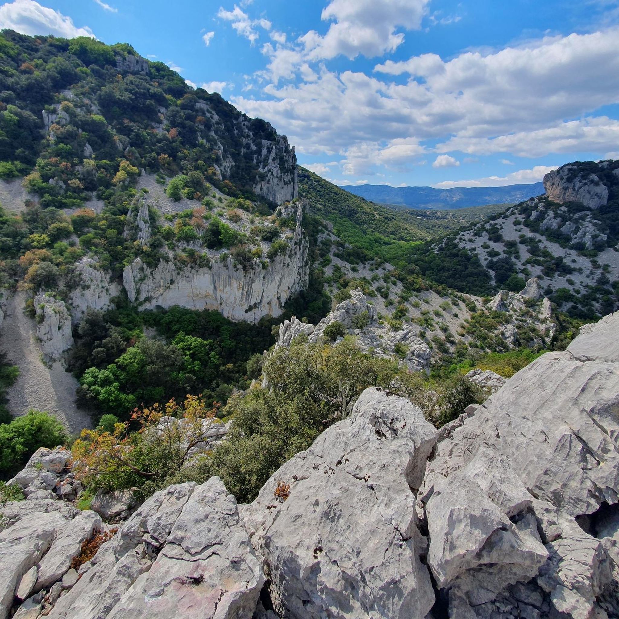
Hiking trails around Saint-Martin-De-Londres traverse a diverse landscape in the Hérault department of Occitanie, France. The region features garrigues, majestic hills, and limestone plateaus known as causses. Notable natural features include the iconic Pic Saint-Loup, the classified Ravin des Arcs, and the Gorges de l'Hérault. This varied terrain offers routes ranging from gentle walks to more strenuous treks.
Best hiking trails around Saint-Martin-De-Londres
- The most popular hiking route is Le ravin des Arcs – loop from La Garde, a 2.6 miles (4.1 km) moderate trail that takes 1 hour 18 minutes to complete. This route explores the scenic Ravin des Arcs, known for its impressive natural arch.
- Another top favourite among local hikers is Le Ravin des Arcs – Point de vue sur les gorges loop from Lagarde, a moderate 3.3 miles (5.4 km) path. This trail offers views over the gorges and winds through the surrounding garrigues.
- Local hikers also love the Summitof Saint-Loup – View of the peak and east ridge loop from Mas-de-Londres, an 11.3 miles (18.2 km) trail leading through the challenging terrain around Pic Saint-Loup, often completed in about 5 hours 43 minutes.
- Hiking around Saint-Martin-De-Londres is defined by garrigues, limestone plateaus, and the prominent Pic Saint-Loup. The network offers options for various ability levels, from easy walks to difficult ascents.
- The routes in Saint-Martin-De-Londres are highly rated by the komoot community with an average score of 4.4 stars from over 1,600 reviews. More than 12,500 hikers have used komoot to explore Saint-Martin-De-Londres's varied terrain.
Last updated: September 1, 2026
4.5
(70)
557
hikers
4.11km
01:18
120m
120m
Moderate hike. Great for any fitness level. Mostly accessible paths. Sure-footedness required.
4.4
(18)
73
hikers
5.38km
01:44
180m
180m
Moderate hike. Great for any fitness level. Mostly accessible paths. Sure-footedness required.

Sign up for free
4.5
(11)
65
hikers
Hard hike. Very good fitness required. Sure-footedness, sturdy shoes and alpine experience required.
4.3
(12)
79
hikers
Easy hike. Great for any fitness level. Easily-accessible paths. Suitable for all skill levels.
4.7
(12)
73
hikers
11.9km
03:12
150m
150m
Moderate hike. Good fitness required. Easily-accessible paths. Suitable for all skill levels.
Get access to more routes and recommendations from other explorers.
Sign up for free
Already have an account?
Our route recommendations are based on thousands of hikes, rides, and runs completed by other people on komoot.
Start today with a free account
Your next adventure awaits.
Login or Signup
Popular around Saint-Martin-De-Londres
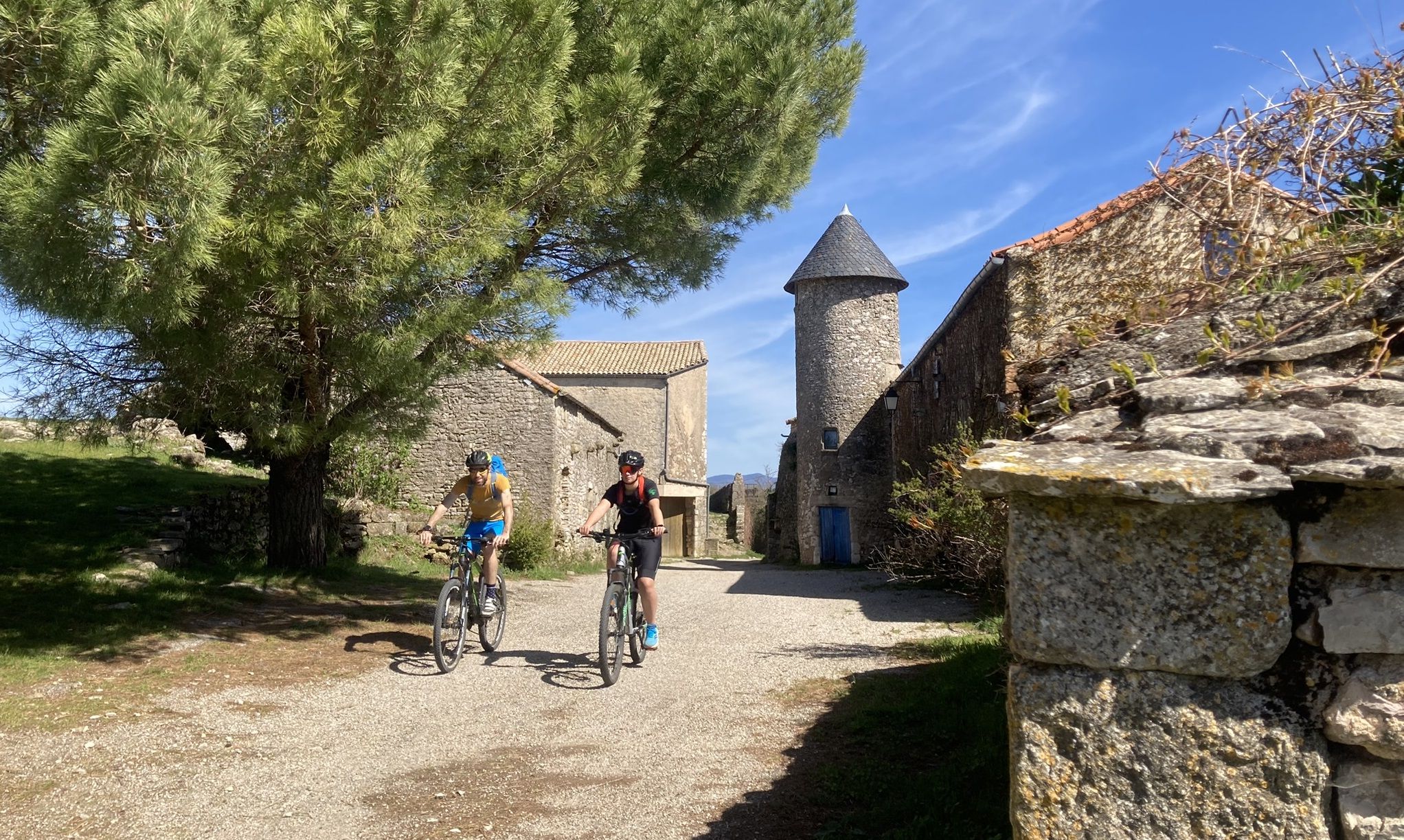
Grande Traversée de l'Hérault — Passa Meridia (North)

Grande Traversée de l'Hérault — Passa Meridia (South)
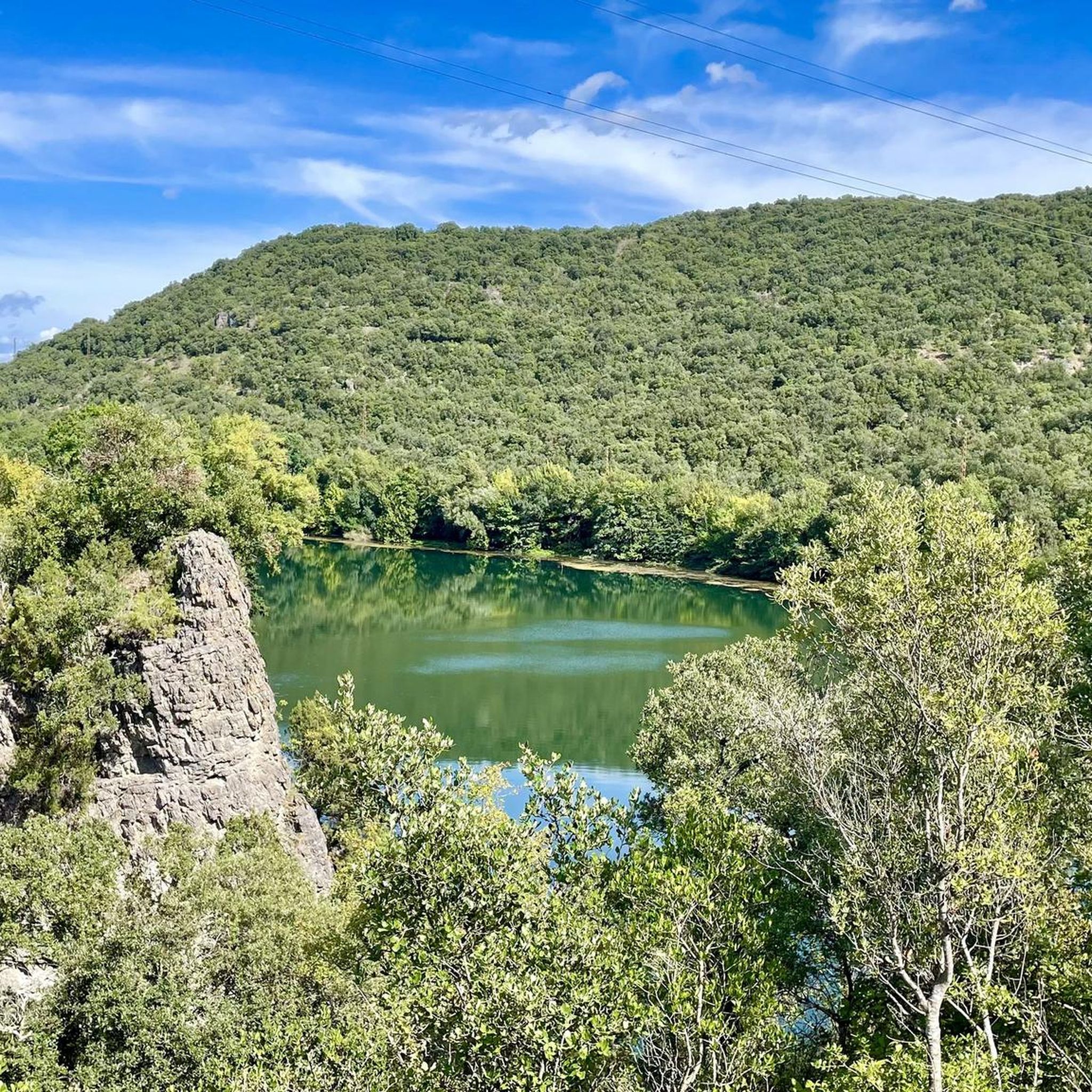
Road Cycling Routes around Saint-Martin-De-Londres
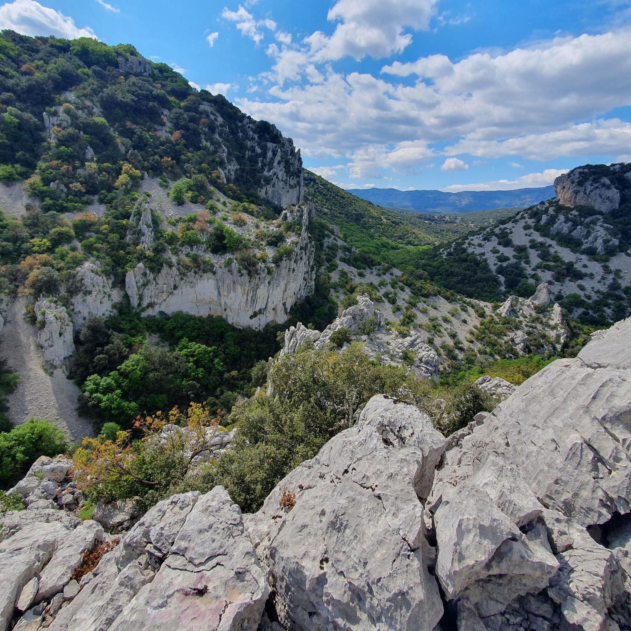
Running Trails around Saint-Martin-De-Londres
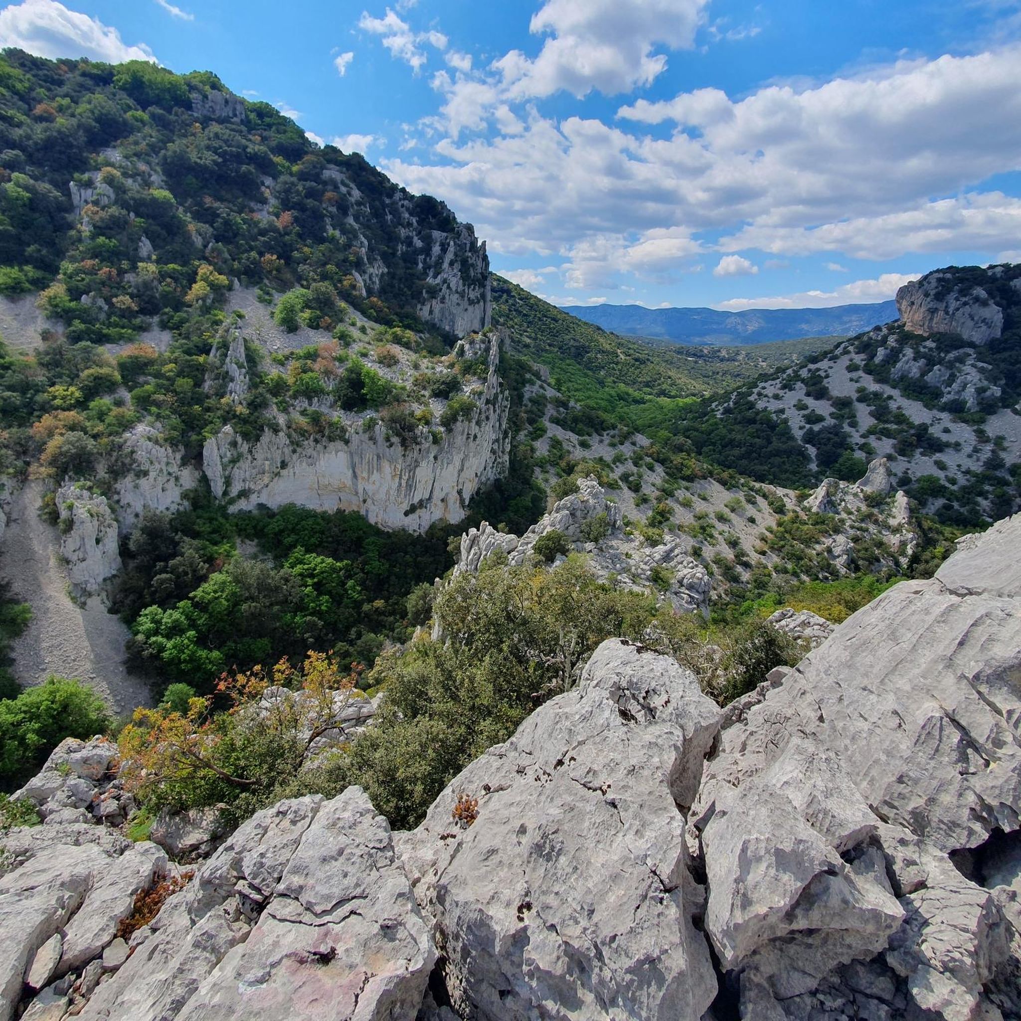
MTB Trails around Saint-Martin-De-Londres

Gravel biking around Saint-Martin-De-Londres
Cycling around Saint-Martin-De-Londres

Tips from the Community

Seen in the middle of August with a fairly low water level, the place was nevertheless very nice with magnificent views of the north face of the pic St Loup. It is perfectly accessible by bike from the hamlet of la Jasse and the tour of the lake can be done easily by mountain bike, hybrid bike or gravel bike.
0
0

The markers are difficult to find after crossing the river (for the difficult circuit) The signage is not kept up to date. At the river crossing, there are 2 possibilities: - going upstream to the right, a small, well-marked loop. - going upstream to the left, a large, unmarked loop with a technical passage. The ladder that had been there for many years has disappeared, what a shame!!!! (If the person I met and walked with for a good part of this hike recognizes themselves from August 7th, don't hesitate to get in touch)🫡
0
0
The markers are difficult to find after crossing the river. (For the difficult trail) The marking is not kept up to date. At the river crossing, 2 possibilities: Going up to the right, a small well-marked loop. Going up to the left, a large unmarked loop with a technical passage. There was a ladder for several years at one point on the route to observe a large enormous cave..... Ladder disappeared, what a shame !!!!
0
0

hello hikers pebbles still pebbles and at the top of the peak a great view north and south don't forget water very essential for the climb otherwise dry throat headache severe fatigue
1
0


WARNING: This is not the Grotte des Demoiselles (Cave of the Maidens)! I requested that its REAL name be changed to "Grotte - Abri de Lamalou 2" (Lamalou Cave - Shelter 2). Some nice points of interest along the way! The path is sometimes challenging, so caution is advised. I also encountered a few people rock climbing. The ladder in the old "Hermite" cave is stable, but be careful nonetheless. Once at the top, it's easy to slip (it's on a slope). The visit is short, but there are a few tricky sections to explore a little further. Naturally, this makes it all the more dangerous! Not recommended for people with vertigo or who are not comfortable with heights.
0
0
A few nice points of interest along the way! The path is sometimes challenging, so caution is advised. I also came across a few people rock climbing. The ladder in the old "Hermite" cave is stable, but be careful nonetheless. Once at the top, it's easy to slip (it's on a slope).
0
0
Frequently Asked Questions
How many hiking trails are available around Saint-Martin-De-Londres?
There are nearly 250 hiking trails around Saint-Martin-De-Londres, catering to various skill levels. You'll find 68 easy routes, 125 moderate options, and 48 challenging treks for experienced hikers.
What kind of terrain can I expect on hikes in Saint-Martin-De-Londres?
The region offers a diverse landscape, from the Mediterranean shrubland (garrigues) and majestic hills to limestone plateaus known as causses. You'll encounter dramatic features like the iconic Pic Saint-Loup, the classified Ravin des Arcs, and the Gorges de l'Hérault, providing varied scenery and elevation changes.
Are there any family-friendly hiking options in the area?
Yes, Saint-Martin-De-Londres has several easy routes suitable for families. For example, the Le ravin des Arcs – loop from La Garde is a moderate 4.1 km trail that explores the scenic Ravin des Arcs, which can be a good option for families looking for a slightly longer walk.
Can I bring my dog on the hiking trails around Saint-Martin-De-Londres?
Many trails in the Saint-Martin-De-Londres area are dog-friendly, but it's always recommended to keep your dog on a leash, especially in protected natural areas like the Ravin des Arcs, to protect local wildlife and sensitive ecosystems. Always check specific trail regulations before you go.
What are some notable natural landmarks or viewpoints to see while hiking?
Hikers can discover several impressive natural features. The View of the Cévennes and the Sea from Pic Saint-Loup offers expansive panoramas. The Ravin des Arcs is known for its impressive natural arch sculpted by erosion. You might also encounter springs like the Gornies spring or the Buèges Spring.
Are there any challenging hikes for experienced trekkers?
Absolutely. For those seeking a challenge, the Summitof Saint-Loup – View of the peak and east ridge loop from Mas-de-Londres is a difficult 18.2 km trail that takes approximately 5 hours 43 minutes to complete, leading through the rugged terrain around Pic Saint-Loup.
What do other hikers say about the trails in Saint-Martin-De-Londres?
The hiking routes in Saint-Martin-De-Londres are highly rated by the komoot community, with an average score of 4.4 stars from over 1,600 reviews. Hikers often praise the diverse landscapes, from the garrigues to the dramatic views from Pic Saint-Loup, and the well-maintained paths.
Are there any circular walks available?
Yes, many trails in the region are designed as loops. For instance, the Le Ravin des Arcs – Point de vue sur les gorges loop from Lagarde is a moderate 5.4 km path offering views over the gorges. Another option is the Panorama loop from Embranchement de Viols, an 8.2 km moderate route.
What is the best time of year to go hiking in Saint-Martin-De-Londres?
The region is generally pleasant for hiking in spring and autumn when temperatures are milder. Summer can be very hot, making early morning or late afternoon hikes preferable. Winter offers crisp air and fewer crowds, though some higher elevation trails might be more exposed.
Are there any historical sites or points of interest along the trails?
While the focus is on natural beauty, some routes may pass by historical ruins. The region itself has a rich history, with the name 'Londres' deriving from the Occitan 'loudro' meaning marsh, reflecting its historical landscape. The nearby village of Saint-Guilhem le Désert, accessible via parts of the GR de Pays Tours, is known for its medieval charm.
Is it possible to hike to the summit of Pic Saint-Loup?
Yes, hiking to the summit of Pic Saint-Loup is a popular and rewarding experience, offering extensive views of the valleys of Buèges, Hérault, and the Gorges de la Vis. It is considered a challenging hike requiring good fitness and sure-footedness. You can find a difficult route like the Summitof Saint-Loup – View of the peak and east ridge loop from Mas-de-Londres that includes the summit.
Are there any trails that offer views of the Gorges de l'Hérault?
Yes, Saint-Martin-De-Londres is situated within the classified Grand Site de France Gorges de l'Hérault. Trails like the Le Ravin des Arcs – Point de vue sur les gorges loop from Lagarde offer specific viewpoints over the gorges, allowing you to appreciate this protected natural area.
Most popular routes around Saint-Martin-De-Londres
Most popular attractions around Saint-Martin-De-Londres

Get inspired with the komoot mobile app


Explore more
Browse the best Hikes in other regions.
