The best walks and hikes around Saturargues
4.4
(435)
1,969
hikers
200
hikes
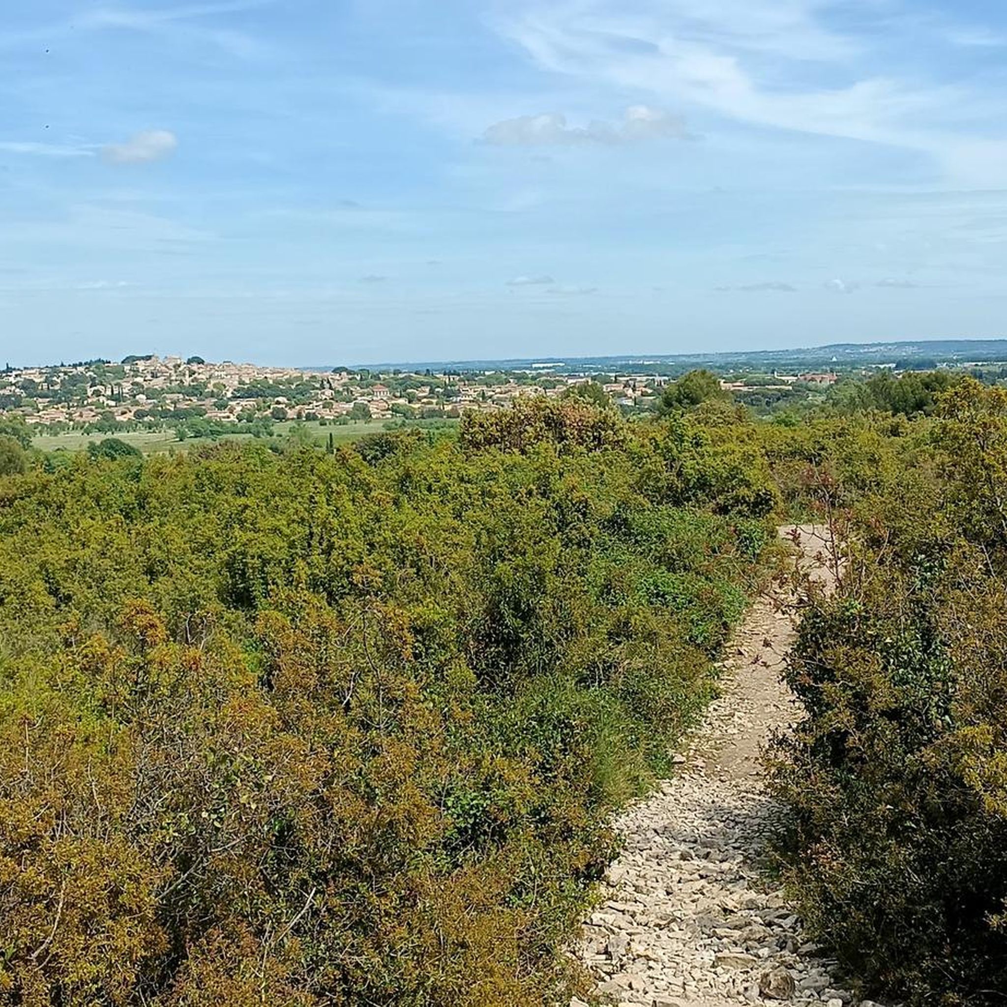
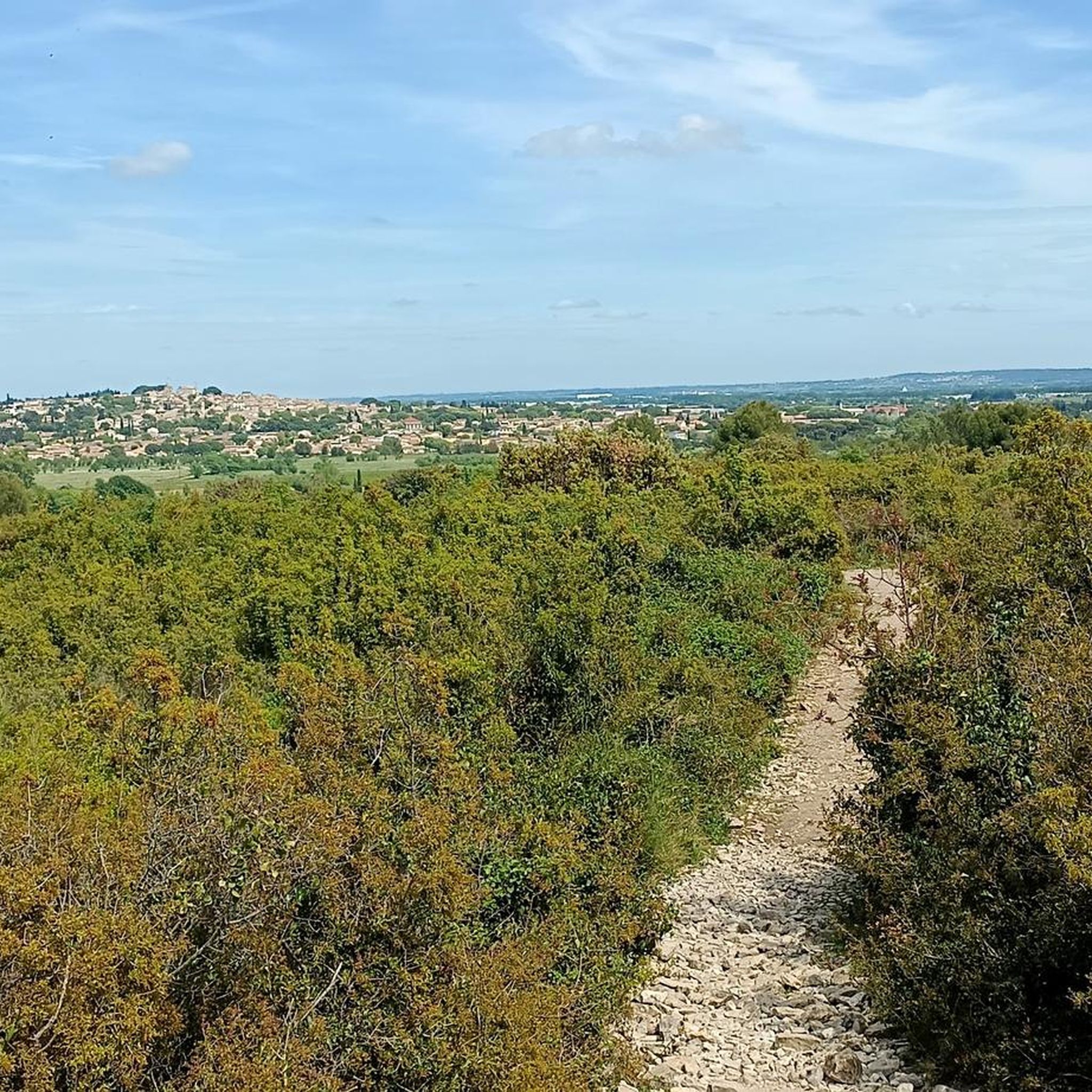
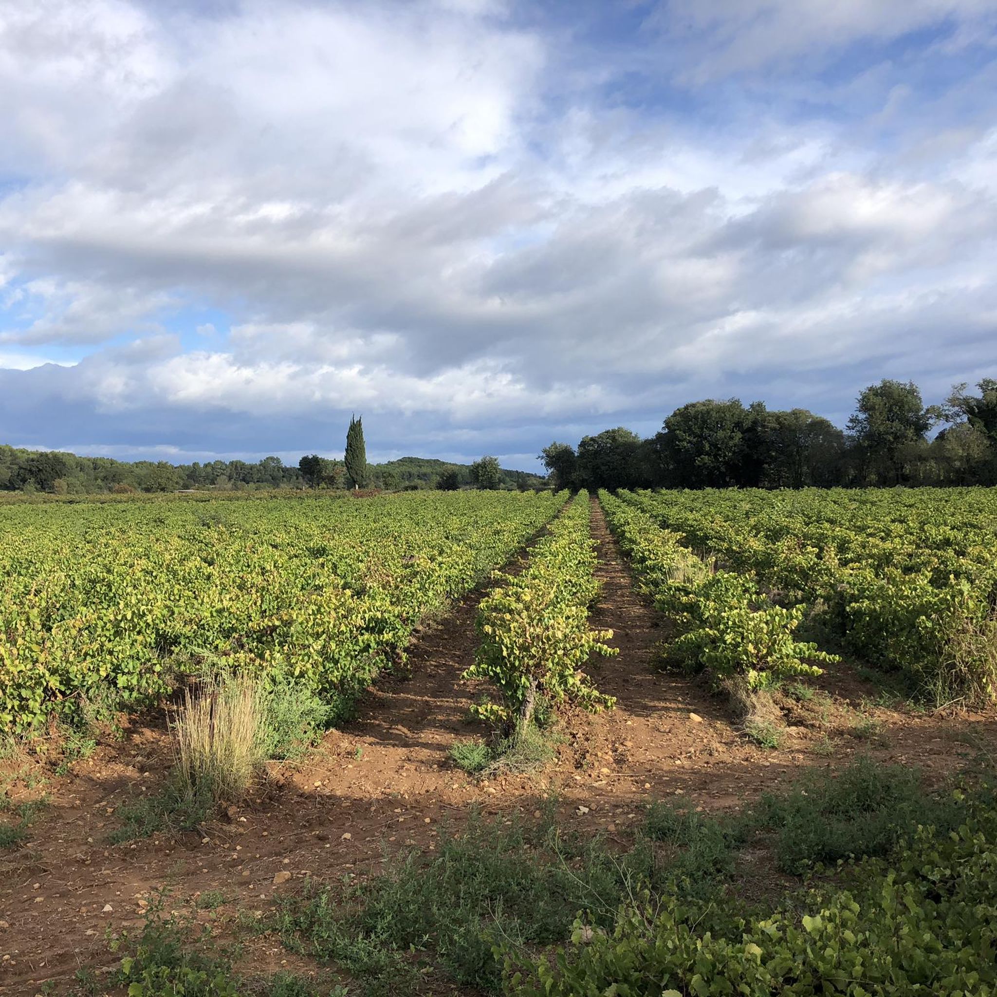
Hiking around Saturargues offers a variety of terrain, characterized by gentle rolling hills, agricultural landscapes, and proximity to the Vidourle river. The region features a mix of open countryside, vineyards, and some wooded sections, providing diverse environments for outdoor exploration. Elevations are generally modest, with routes ranging from nearly flat to those with several hundred feet of ascent, making the area accessible for different hiking preferences.
Best hiking trails around Saturargues
- The most popular hiking route is Verargues loop from…
Last updated: August 18, 2026
5.0
(2)
17
hikers
6.08km
01:35
40m
40m
Easy hike. Great for any fitness level. Easily-accessible paths. Suitable for all skill levels.
4.5
(4)
19
hikers
13.4km
03:30
110m
110m
Moderate hike. Good fitness required. Easily-accessible paths. Suitable for all skill levels.

Sign up for free
4.0
(1)
9
hikers
5.59km
01:32
70m
70m
Moderate hike. Great for any fitness level. Mostly accessible paths. Sure-footedness required.
3.5
(2)
8
hikers
6.77km
01:51
80m
90m
Moderate hike. Great for any fitness level. Mostly accessible paths. Sure-footedness required.
5.0
(1)
12
hikers
28.5km
07:37
300m
300m
Hard hike. Very good fitness required. Mostly accessible paths. Sure-footedness required.
Get access to more routes and recommendations from other explorers.
Sign up for free
Already have an account?
Our route recommendations are based on thousands of hikes, rides, and runs completed by other people on komoot.
Start today with a free account
Your next adventure awaits.
Login or Signup

Tips from the Community

a beautiful cross like those found several times on the way
0
0

Church of Saint Christophe in Saint-Christol
2
0
Cippo with indication of the distance to Santiago de Compostela
2
0
Beautiful abbey on the Via Tolosana
1
0
Nice town on the Via Tolosana
1
0
Frequently Asked Questions
How many hiking trails are available around Saturargues?
There are nearly 200 hiking trails around Saturargues, offering a wide range of options for different skill levels. This includes over 100 easy routes and 88 moderate trails, ensuring there's something for everyone.
What is the general terrain like for hiking in Saturargues?
Hiking around Saturargues is characterized by gentle rolling hills, agricultural landscapes, and proximity to the Vidourle river. You'll find a mix of open countryside, vineyards, and some wooded sections, with generally modest elevations.
Are there any easy, family-friendly hikes in the area?
Yes, Saturargues offers many easy routes suitable for families. An excellent option is the Verargues loop from Entre-Vignes, which is 3.8 miles (6.1 km) long and winds through local vineyards and countryside, taking about 1 hour 35 minutes to complete.
Can I find circular hiking routes around Saturargues?
Many of the trails around Saturargues are circular. For example, the The Vidourle – View of the Carrière mill loop from Villetelle is a moderate 8.3-mile (13.3 km) path that follows the Vidourle river, offering scenic views and returning to its starting point.
What do other hikers enjoy most about hiking in Saturargues?
The komoot community highly rates the hiking experience in Saturargues, with an average score of 4.4 stars from over 360 reviews. Hikers often praise the diverse agricultural landscapes, the peaceful river paths, and the accessibility of routes for various ability levels.
Are there any interesting landmarks or attractions to see along the trails?
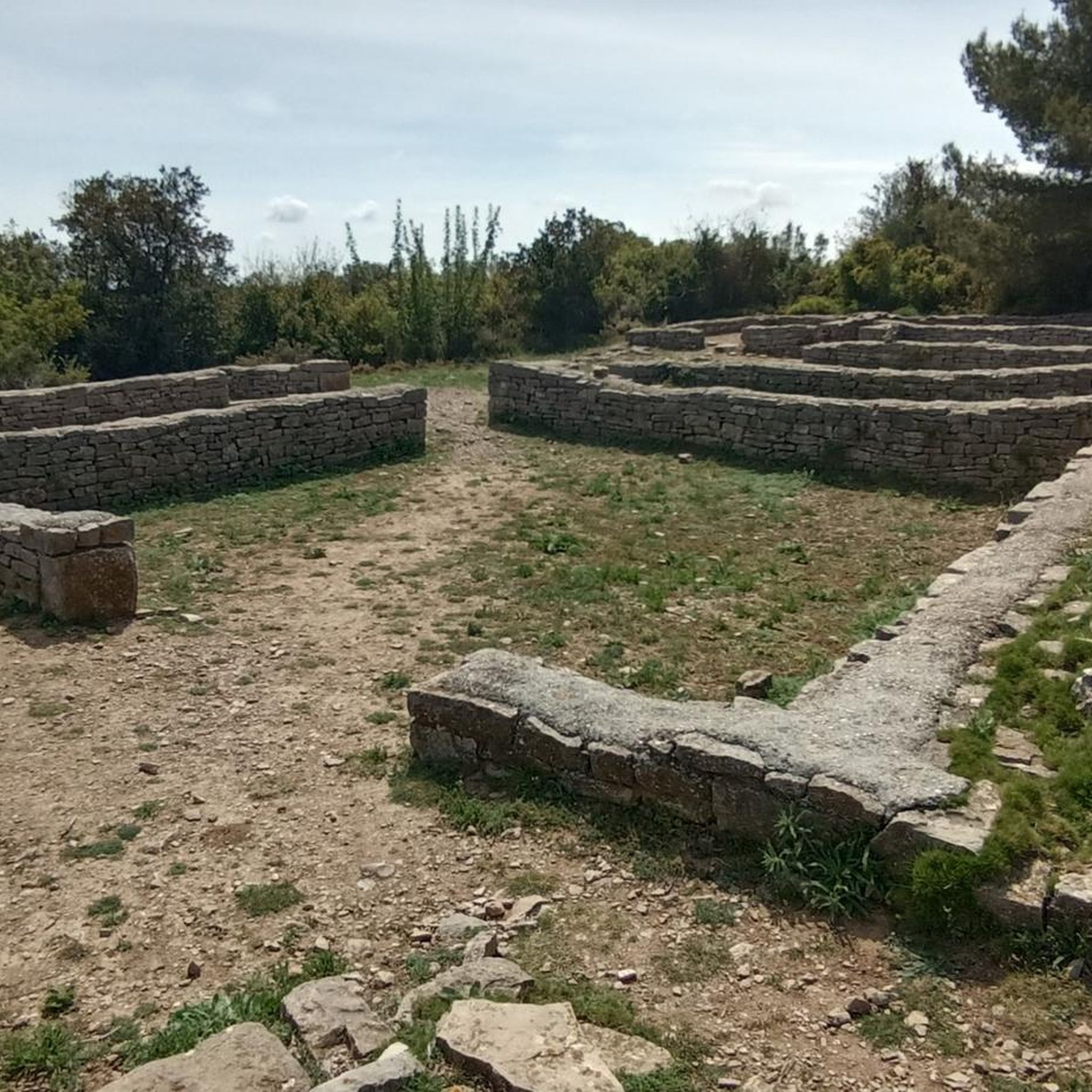
While hiking, you can explore several interesting sites nearby. Consider visiting the historic Castries Aqueduct, the ancient Oppidum of Ambrussum, or the unique Carrières de Junas. Many routes offer views of these historical and natural points of interest.
Are the hiking trails around Saturargues dog-friendly?
Most trails in the Saturargues region are generally dog-friendly, especially those through open countryside and vineyards. However, it's always recommended to keep dogs on a leash, particularly near agricultural areas or if livestock is present. Check specific route details for any restrictions.
What is the best time of year to go hiking in Saturargues?
The best time to hike in Saturargues is typically during spring (April-May) and autumn (September-October) when the weather is mild and pleasant. Summers can be hot, so early morning or late afternoon hikes are preferable then. Winters are generally mild, allowing for year-round hiking, though some paths might be muddy after rain.
Are there any longer or more challenging hikes available?
For those seeking a longer challenge, the Panorama – Roque loop from Vérargues is a difficult 17.8-mile (28.6 km) route with significant elevation gain, offering a more strenuous experience and taking around 7 hours 40 minutes to complete.
Is parking available near the trailheads in Saturargues?
Yes, parking is generally available near the starting points of many trails in and around Saturargues, as well as in nearby villages like Villetelle and Saint-Sériès. Look for designated parking areas in village centers or near popular trail access points.
What kind of wildlife might I encounter on the trails?
While hiking in Saturargues, you might spot various birds, small mammals like rabbits or foxes, and reptiles. The agricultural landscapes and riverbanks provide habitats for diverse species. Keep an eye out for local flora as well, especially during spring.
Are there any trails that offer views of the Vidourle river?
Absolutely. The Vidourle river is a prominent feature of the region. The The Vidourle – View of the Carrière mill loop from Villetelle is a prime example, following the river and providing excellent views, including those of the historic Carrière mill.
Most popular routes around Saturargues
Most popular attractions around Saturargues

Get inspired with the komoot mobile app


Explore more
Browse the best Hikes in other regions.
