The best walks and hikes around Saint-Cyr-Du-Gault
4.2
(19)
106
hikers
36
hikes
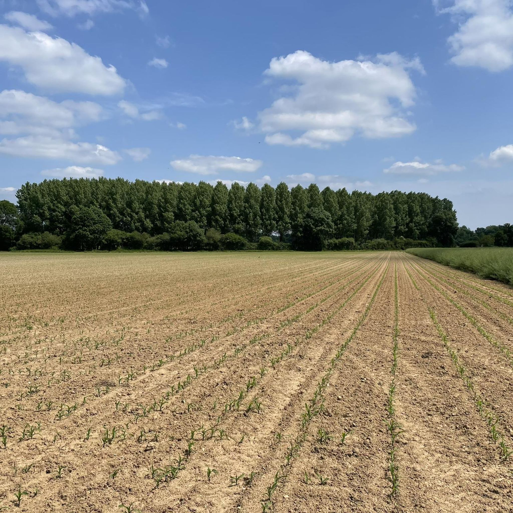
Hiking trails around Saint-Cyr-Du-Gault traverse a landscape characterized by plateaus and narrow valleys, typical of the "Gâtine tourangelle" agricultural area. The commune is drained by the Cisse Landaise and Gault rivers, contributing to scenic riverside walks. This varied topography offers diverse natural spaces and agricultural lands for exploration.
Best hiking trails around Saint-Cyr-Du-Gault
- The most popular hiking route is Brenne Valley Trail, a 8.2 miles (13.2 km) trail that takes 3 hours 33 minutes to complete. This moderate route…
Last updated: July 1, 2026
4.3
(4)
15
hikers
13.2km
03:33
160m
160m
Moderate hike. Good fitness required. Mostly accessible paths. Sure-footedness required.
8
hikers
14.8km
03:54
140m
140m
Moderate hike. Good fitness required. Easily-accessible paths. Suitable for all skill levels.

Sign up for free
5.0
(3)
7
hikers
5.11km
01:21
50m
50m
Easy hike. Great for any fitness level. Easily-accessible paths. Suitable for all skill levels.
5.0
(1)
5
hikers
Moderate hike. Good fitness required. Easily-accessible paths. Suitable for all skill levels.
5.0
(1)
2
hikers
6.91km
01:48
40m
40m
Easy hike. Great for any fitness level. Easily-accessible paths. Suitable for all skill levels.
Get access to more routes and recommendations from other explorers.
Sign up for free
Already have an account?
Our route recommendations are based on thousands of hikes, rides, and runs completed by other people on komoot.
Start today with a free account
Your next adventure awaits.
Login or Signup




Tips from the Community


This small fortified town has its origins in the middle of the 11th century. It was at this time that the castle was built. It will be reworked several times thereafter, notably during the Hundred Years War. The town thus developed over the centuries. It experienced strong development in the 19th century thanks to the tannery industry, making Château-Renault the city of leather. Since then, the old industries have been converted. The city has a rich medieval and industrial heritage to discover by admiring its castle and visiting the tannery museum.
0
0

This charming castle was built in 1891 by Commander Koszuski. Its round tower was modeled on that of Château Chaumont and the square tower was inspired by the tower of the Grand Palace in Florence, Italy.
2
0
Tanning as an industry is an important part of the heritage of this region and particularly at Château Renault. This museum is a fascinating visit to discover the history of the art and industry of tanning in the region, which has been brought back to the original tanning mill.
2
0
This is an 11th century mill. Originally a wheat mill, it was used as a tan mill in the 19th century for tanneries.
2
0
The castle and its outbuildings date from the 14th and 17th centuries, but the original fortress was built in the early 11th century.
2
0
Frequently Asked Questions
How many hiking trails are available around Saint-Cyr-Du-Gault?
There are over 35 hiking trails around Saint-Cyr-Du-Gault, offering a variety of options for different preferences and fitness levels. These routes explore the region's characteristic plateaus, narrow valleys, and agricultural lands.
What kind of terrain can I expect on hikes in Saint-Cyr-Du-Gault?
Hikes in Saint-Cyr-Du-Gault typically traverse a diverse landscape. You'll find trails across expansive agricultural plateaus, through narrow river valleys carved by the Cisse Landaise and Gault rivers, and often alongside these waterways. This varied topography provides a mix of open views and more sheltered, scenic paths.
Are there easy hiking options suitable for beginners or casual walkers?
Yes, Saint-Cyr-Du-Gault offers plenty of easy hiking options. More than 20 of the available routes are rated as easy, making them perfect for beginners, families, or those looking for a relaxed stroll. An example is the Moulin de perchêne loop from Neuville-sur-Brenne, which is an easy 5.1 km path.
What do other hikers say about the trails in Saint-Cyr-Du-Gault?
The hiking trails in Saint-Cyr-Du-Gault are highly regarded by the komoot community, with an average rating of 4.2 stars from over 15 reviews. Hikers often praise the peaceful rural atmosphere, the varied landscapes, and the well-maintained paths that make for an enjoyable outdoor experience.
Are there any circular hiking routes in the area?
Yes, many of the trails around Saint-Cyr-Du-Gault are designed as circular routes, allowing you to start and end at the same point without retracing your steps. For instance, the Moulin de perchêne loop from Neuville-sur-Brenne is a popular easy circular walk.
What historical landmarks or points of interest can I see while hiking?
The region around Saint-Cyr-Du-Gault offers several historical points of interest. You can explore the fortified town of Château-Renault, visit the Church of Saint Vincent and Saint Gilles of Villedômer, or discover the Former Abbey and Château de l'Étoile. The Château of Château-Renault loop from Château-Renault is a great way to combine hiking with historical exploration.
Are the hiking trails in Saint-Cyr-Du-Gault suitable for families with children?
Many of the easy and moderate trails in Saint-Cyr-Du-Gault are suitable for families. The gentle elevation changes and varied scenery, including agricultural fields and riverside paths, provide an engaging environment for children. Consider routes like the Moulin de perchêne loop from Neuville-sur-Brenne for a pleasant family outing.
Can I bring my dog on the hiking trails in Saint-Cyr-Du-Gault?
Yes, dogs are generally welcome on the hiking trails around Saint-Cyr-Du-Gault. Given the rural and agricultural nature of the area, it's always recommended to keep your dog on a leash, especially when passing through farmlands or near livestock, and to ensure you clean up after them.
What is the best time of year to go hiking in Saint-Cyr-Du-Gault?
The spring and autumn months are generally ideal for hiking in Saint-Cyr-Du-Gault. Spring brings blooming wildflowers and mild temperatures, while autumn offers pleasant weather and beautiful fall foliage. Summer can also be enjoyable, but it's advisable to hike in the mornings or late afternoons to avoid the midday heat.
Are there any longer, more challenging hikes available?
While most trails are easy to moderate, there are longer routes that offer a more extended challenge. For example, the Brenne Valley Trail is a moderate 13.2 km route that takes around 3.5 hours to complete, exploring the natural features of the Brenne Valley.
Where can I find parking for hiking trails in Saint-Cyr-Du-Gault?
Parking for hiking trails in Saint-Cyr-Du-Gault is typically available in or near the starting points of the routes, often in village centers or designated small parking areas. For routes starting from nearby towns like Château-Renault or Neuville-sur-Brenne, you'll find more established parking facilities.
Are there any trails that pass by water features like rivers or lakes?
Yes, Saint-Cyr-Du-Gault is drained by the Cisse Landaise and Gault rivers, and many trails incorporate these waterways. You can expect scenic riverside walks and paths that follow the contours of these river valleys, adding a refreshing element to your hike.
Most popular routes around Saint-Cyr-Du-Gault
Most popular attractions around Saint-Cyr-Du-Gault

Get inspired with the komoot mobile app


Explore more
Browse the best Hikes in other regions.
