The best walks and hikes around Ondefontaine
4.7
(69)
237
hikers
40
hikes
Hiking around Ondefontaine offers access to a landscape characterized by rolling hills, including Mont Pinçon, and a mix of rural paths and woodlands. The region features varied terrain with moderate elevation changes, suitable for different hiking abilities. Trails often pass through agricultural areas and offer views of the surrounding countryside.
Best hiking trails around Ondefontaine
- The most popular hiking route is Mont Pinçon Trail, a 5.7 miles (9.2 km) trail that takes 2 hours 31 minutes to complete. This…
Last updated: August 15, 2026
4.8
(12)
34
hikers
9.25km
02:31
140m
140m
Moderate hike. Good fitness required. Easily-accessible paths. Suitable for all skill levels.
3.8
(5)
19
hikers
6.82km
01:51
90m
90m
Easy hike. Great for any fitness level. Easily-accessible paths. Suitable for all skill levels.

Sign up for free
5.0
(1)
3
hikers
6.92km
01:56
130m
130m
Easy hike. Great for any fitness level. Easily-accessible paths. Suitable for all skill levels.
6
hikers
11.9km
03:13
170m
170m
Moderate hike. Good fitness required. Easily-accessible paths. Suitable for all skill levels.
4
hikers
9.24km
02:30
130m
130m
Moderate hike. Good fitness required. Easily-accessible paths. Suitable for all skill levels.
Get access to more routes and recommendations from other explorers.
Sign up for free
Already have an account?
Our route recommendations are based on thousands of hikes, rides, and runs completed by other people on komoot.
Start today with a free account
Your next adventure awaits.
Login or Signup
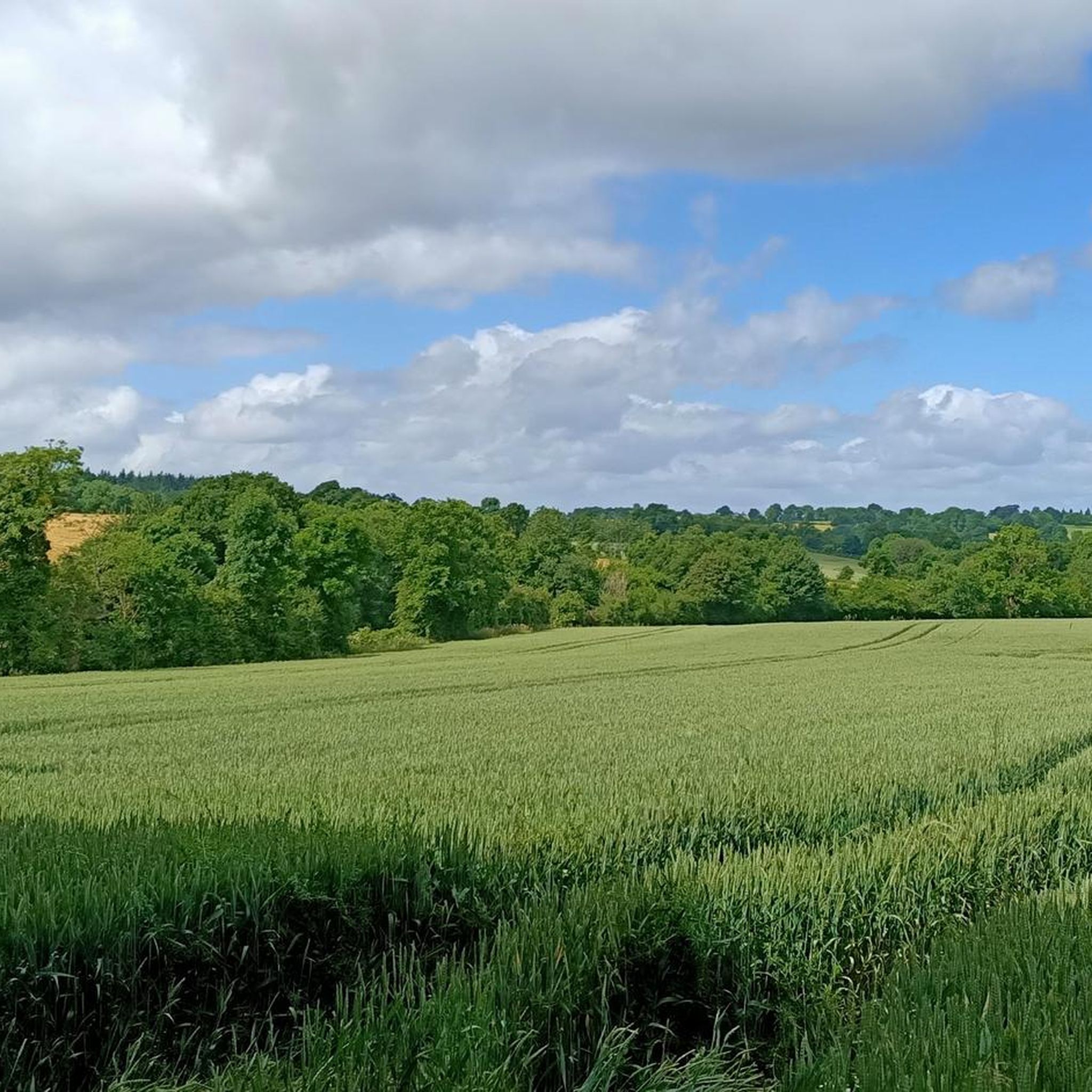
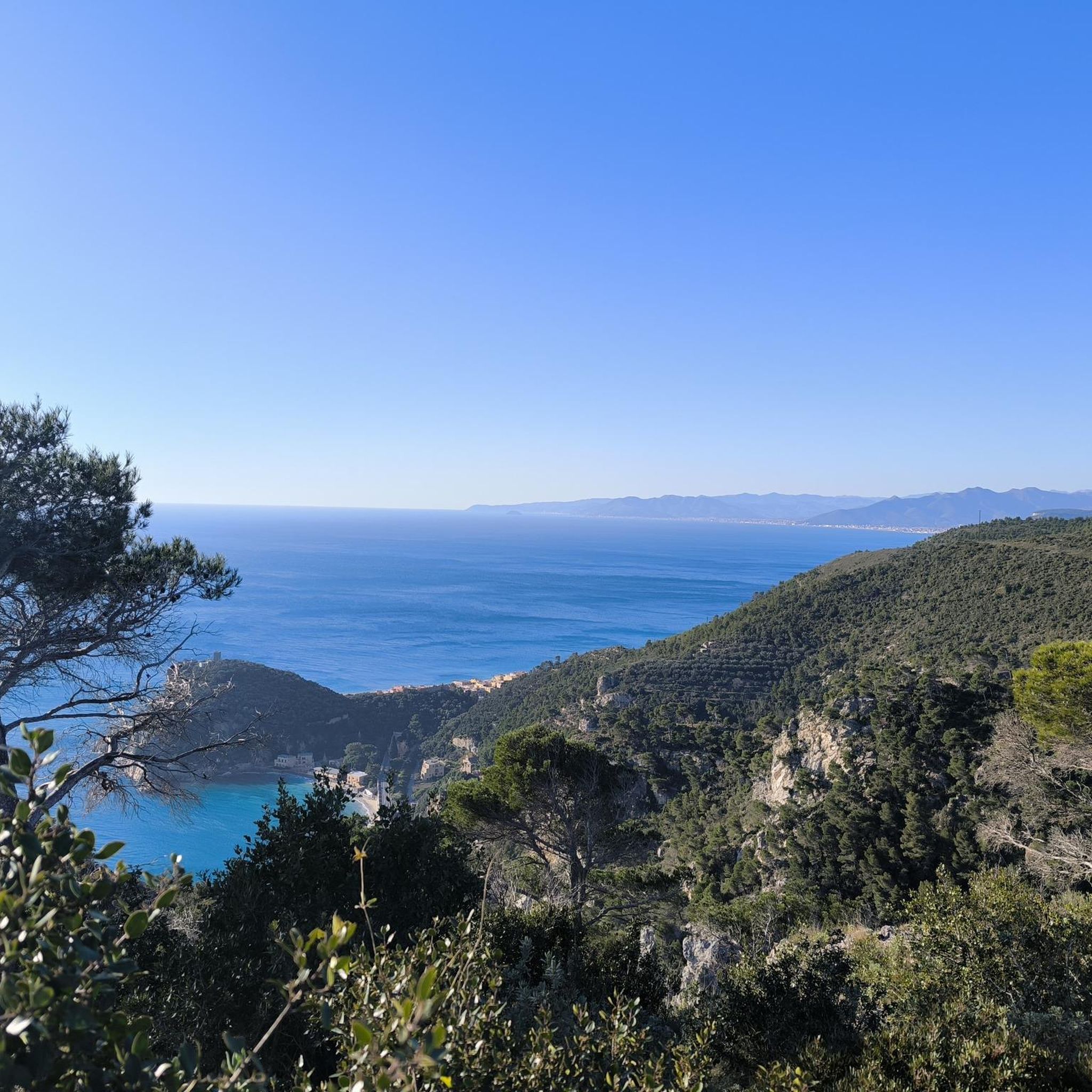
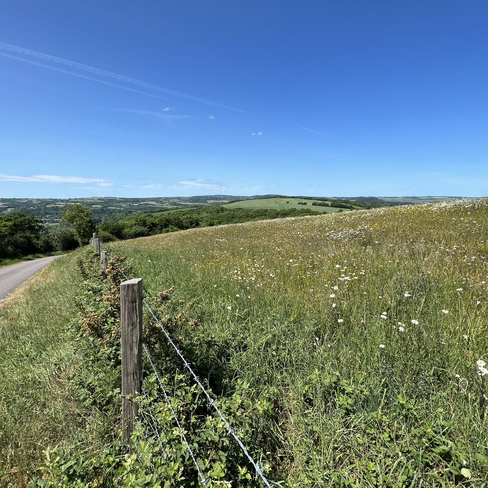

Tips from the Community

Saint-Étienne Abbey in Le Plessis-Grimoult is a 12th century abbey of the order of Saint-Augustin. You can admire the Gothic portal, the chapter house and the remains of the fortified garden, unique in France. You can also discover the history of the abbey, founded by Richard of Dover, bishop of Bayeux, and which included famous priors such as Gabriel Le Veneur and Bossuet. The abbey is open to visitors from April to October.
2
0
The Mont Pinçon memorial is the highest point in the Calvados department. This site was the scene of a fierce battle during World War II, when British troops captured a German radio station and observation tower located atop the hill. You can discover this history by reading the stele of the 13/18th Royal Hussars, a pink granite monument sculpted by Alain Head and inaugurated in 1996. You can also enjoy the natural beauty and panoramic views of Mont Pinçon, which is part of the Armorican massif and constitutes an ecologically sensitive area. The Mont Pinçon memorial is a privileged place to discover the past and present of Normandy.
2
0
Mont Pinçon is the highest point in Calvados (362 m). Its television transmitting tower increases this height by 200m. At the top is a military memorial and a magnificent panorama.
2
0
Frequently Asked Questions
How many hiking trails are available around Ondefontaine?
There are over 35 hiking trails in the Ondefontaine area, offering a variety of experiences. These include 11 easy routes, 21 moderate routes, and 4 more challenging options, ensuring there's something for every skill level.
Are there easy hiking trails suitable for beginners or families in Ondefontaine?
Yes, Ondefontaine offers several easy hiking trails perfect for beginners or families. An excellent option is the Mount Pinçon loop from Le Plessis-Grimoult, an easy 4.2-mile (6.8 km) path that explores the base of Mount Pinçon through fields and wooded sections.
What is the typical length of hiking trails in Ondefontaine?
The hiking trails around Ondefontaine vary in length. Many popular routes, like the Mont Pinçon Trail, are around 5.7 miles (9.2 km). Other options range from approximately 4 miles (6.5 km) to over 7 miles (11 km), offering choices for shorter strolls or longer day hikes.
Can I bring my dog on hikes around Ondefontaine?
Generally, dogs are welcome on trails in the Ondefontaine region, especially on rural paths and through woodlands. It's always recommended to keep your dog on a leash, especially near livestock or in nature reserves, and to clean up after them to respect the local environment and other hikers.
Are there any accessible hiking trails for wheelchairs in Ondefontaine?
Given the region's characteristic rolling hills, rural paths, and wooded sections, most trails around Ondefontaine may not be fully accessible for wheelchairs. We recommend checking individual route details on komoot for specific terrain information and accessibility notes before you go.
What kind of scenery can I expect on hikes in Ondefontaine?
Hiking around Ondefontaine offers a diverse landscape of rolling hills, including Mont Pinçon, and a mix of rural paths, agricultural areas, and woodlands. You can expect panoramic views of the surrounding countryside, especially from higher elevations, and paths that often lead through historical landscapes.
What do other hikers enjoy the most about hiking in Ondefontaine?
The hiking routes in Ondefontaine are highly rated by the komoot community, with an average score of 4.7 stars from over 50 reviews. Hikers often praise the varied terrain, the peaceful rural atmosphere, and the well-maintained paths that offer beautiful views of the Normandy countryside.
Are there any circular hiking routes in Ondefontaine?
Yes, many of the trails around Ondefontaine are circular, allowing you to start and end at the same point. For example, the Château du Plessis-Grimoult loop from Le Plessis-Grimoult is a popular 4.3-mile (6.9 km) circular trail that takes you through historical landscapes.
What historical sites or landmarks can I see while hiking near Ondefontaine?
The region around Ondefontaine is rich in history. You can explore sites like the Château de Pontécoulant. Additionally, the Château du Plessis-Grimoult loop from Le Plessis-Grimoult specifically leads through historical landscapes, offering glimpses into the past.
Is parking available at the trailheads in Ondefontaine?
In this rural area, parking is generally available near villages or designated starting points for popular trails. While specific parking facilities may vary, you can often find roadside parking or small car parks. It's advisable to check the route details on komoot for information on parking at specific trailheads.
Are there any natural monuments or unique natural features to discover?
Yes, the area boasts interesting natural features. You can visit the Millennial Yew of Estry, a remarkable ancient tree, or explore The Plumaudière Megaliths, offering a glimpse into prehistoric times.
What is the best time of year to go hiking in Ondefontaine?
The best time for hiking in Ondefontaine is typically from spring through autumn. During these seasons, the weather is generally mild, and the countryside is vibrant. Autumn offers beautiful foliage, while spring brings blooming wildflowers. Winter hiking is possible but can be cooler and paths may be muddier.
Most popular attractions around Ondefontaine

Get inspired with the komoot mobile app


Explore more
Browse the best Hikes in other regions.
