The best road cycling routes around Monestier-De-Clermont
4.5
(115)
2,337
riders
54
rides
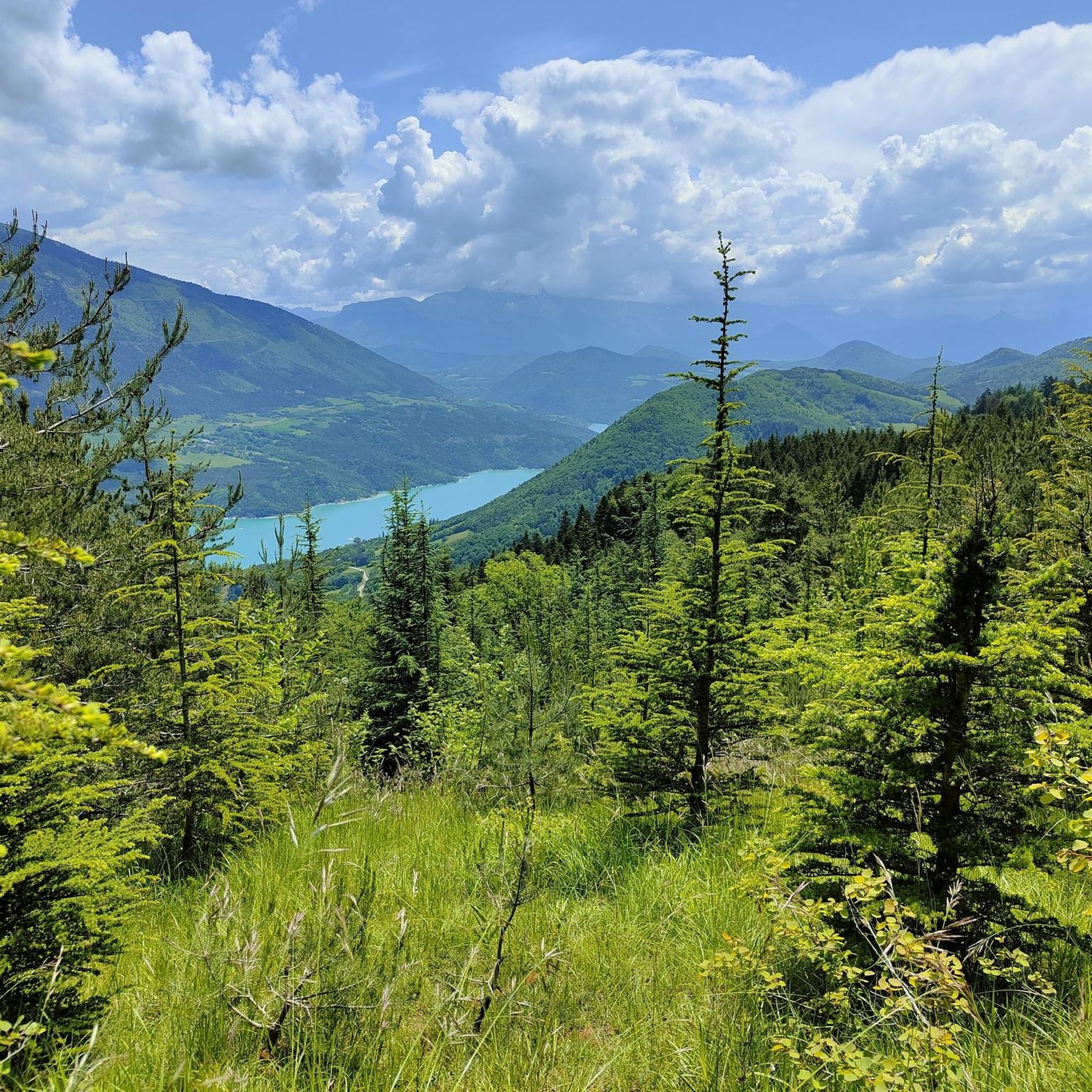
Road cycling routes around Monestier-De-Clermont traverse a diverse landscape in the Isère department, situated at an altitude of approximately 846 meters. The region is characterized by mountainous terrain, including numerous mountain passes and peaks, offering challenging ascents and descents. Cyclists encounter varied gradients and switchbacks, with views of the Alps and the Vercors plateaus, alongside the scenic Lake Monteynard-Avignonet and its gorges.
Best road cycling routes around Monestier-De-Clermont
- The most popular road cycling route is Collet of Sinard, 900 m…
Last updated: July 1, 2026
4.9
(10)
156
riders
55.1km
03:21
1,280m
1,280m
Hard road ride. Very good fitness required. Mostly well-paved surfaces and easy to ride.
5.0
(4)
57
riders
Moderate road ride. Good fitness required. Mostly well-paved surfaces and easy to ride.

Sign up for free
5.0
(1)
21
riders
20.7km
01:19
570m
580m
Moderate road ride. Good fitness required. Mostly well-paved surfaces and easy to ride.
25
riders
56.1km
03:06
1,210m
1,210m
Hard road ride. Very good fitness required. Mostly well-paved surfaces and easy to ride.
21
riders
41.6km
02:23
980m
980m
Hard road ride. Very good fitness required. Mostly well-paved surfaces and easy to ride.
Get access to more routes and recommendations from other explorers.
Sign up for free
Already have an account?
Our route recommendations are based on thousands of hikes, rides, and runs completed by other people on komoot.
Start today with a free account
Your next adventure awaits.
Login or Signup
Popular around Monestier-De-Clermont
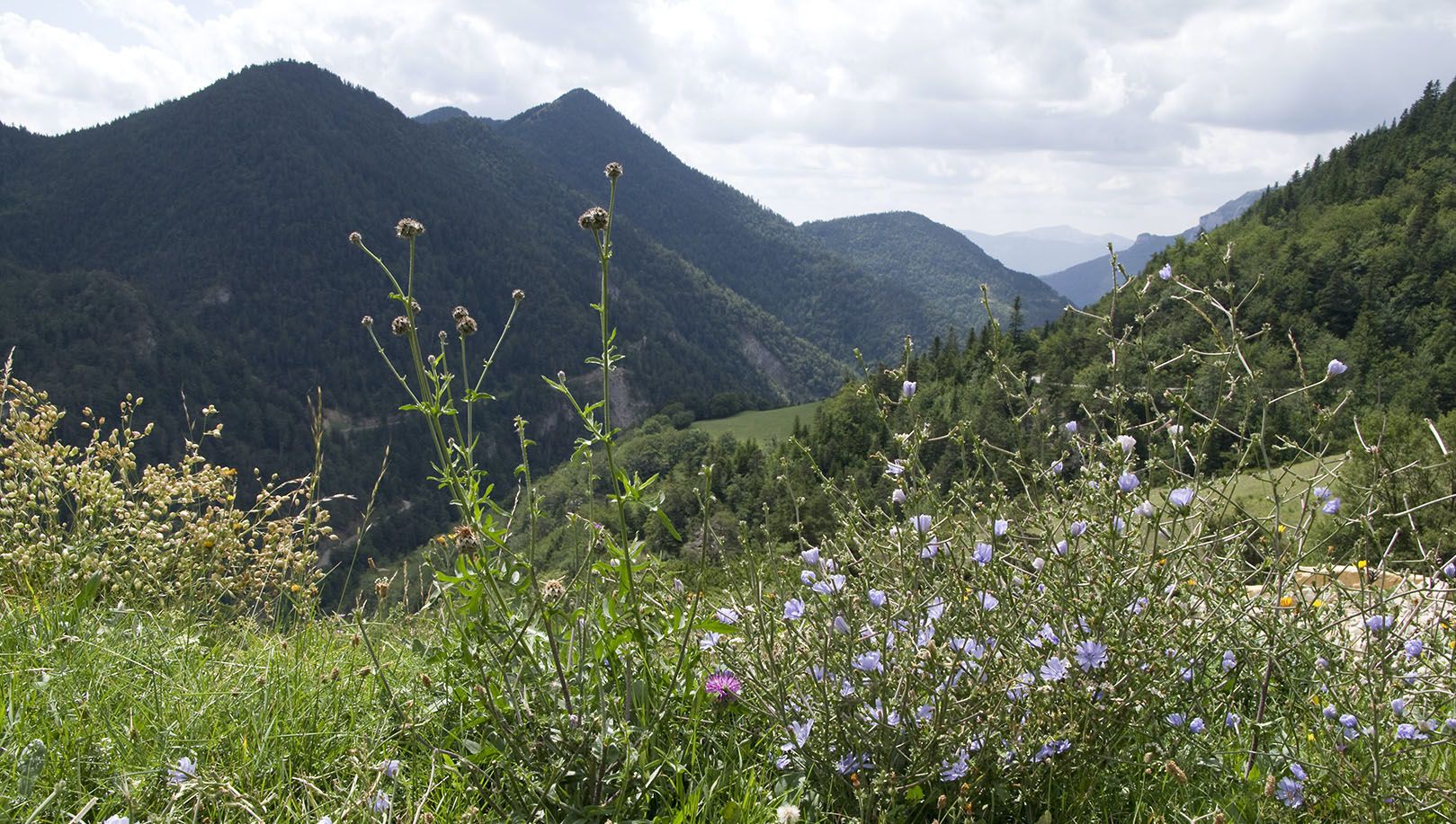
Celebrate the arrival of spring – hike from Savoie to Provence in France
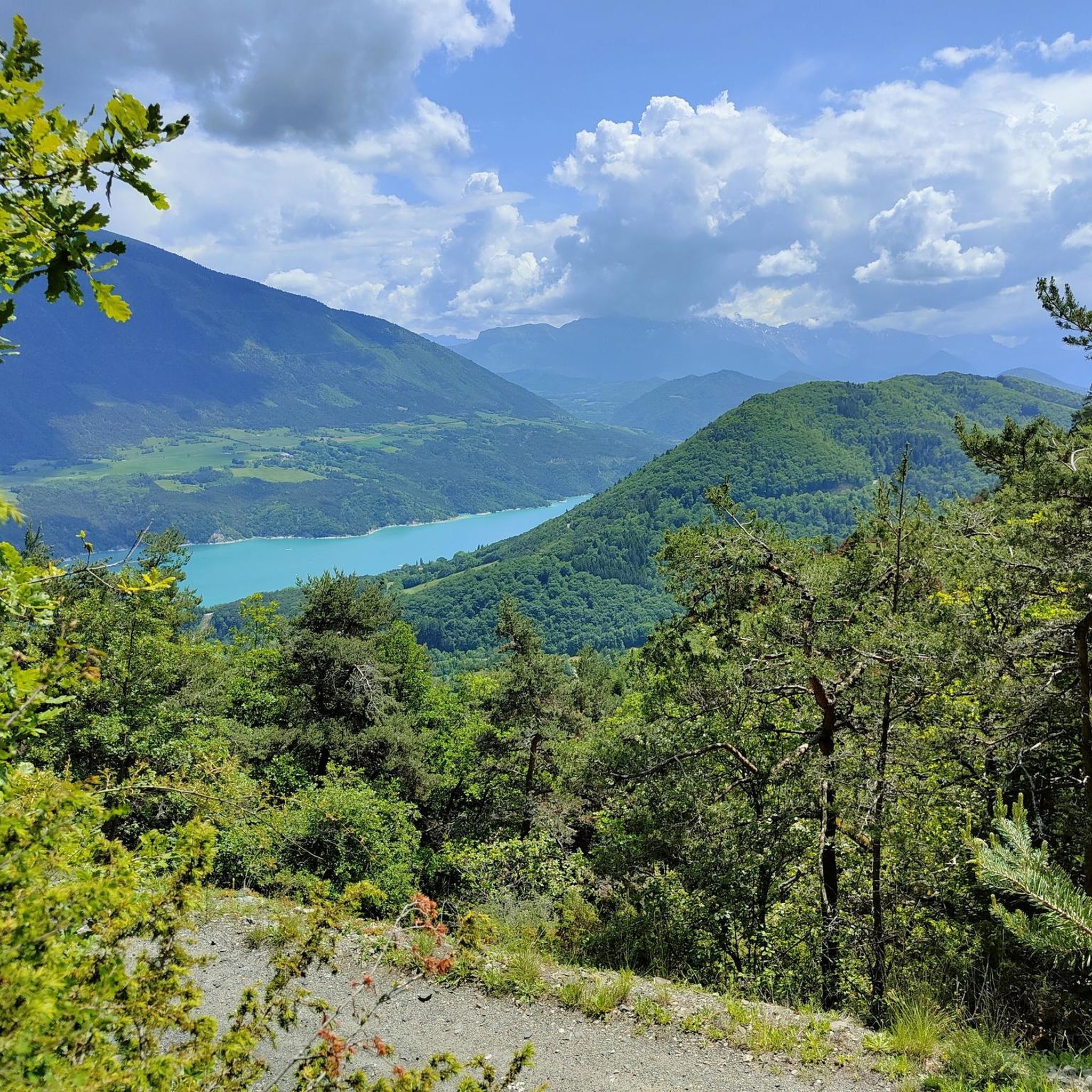
MTB Trails around Monestier-De-Clermont
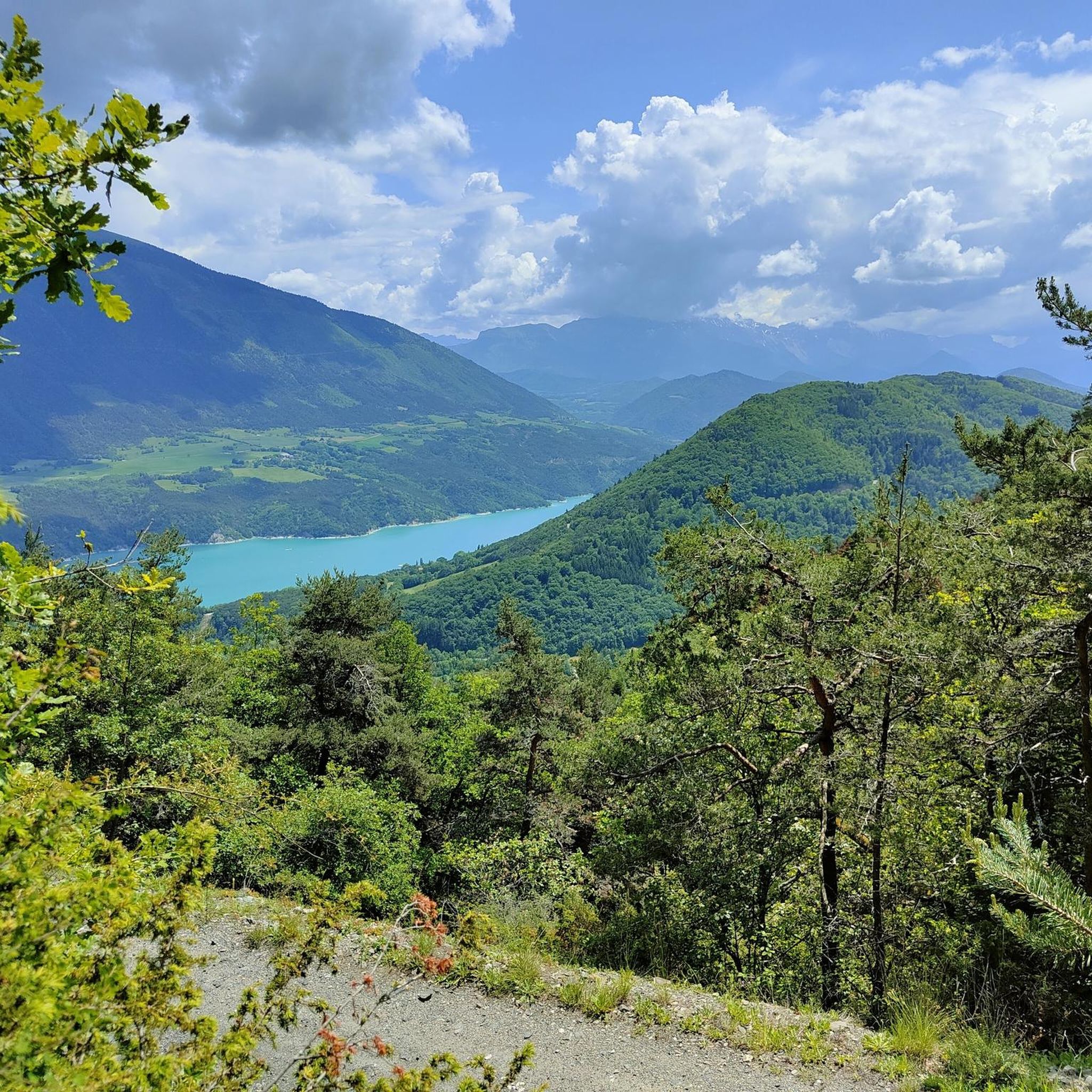
Hiking around Monestier-De-Clermont
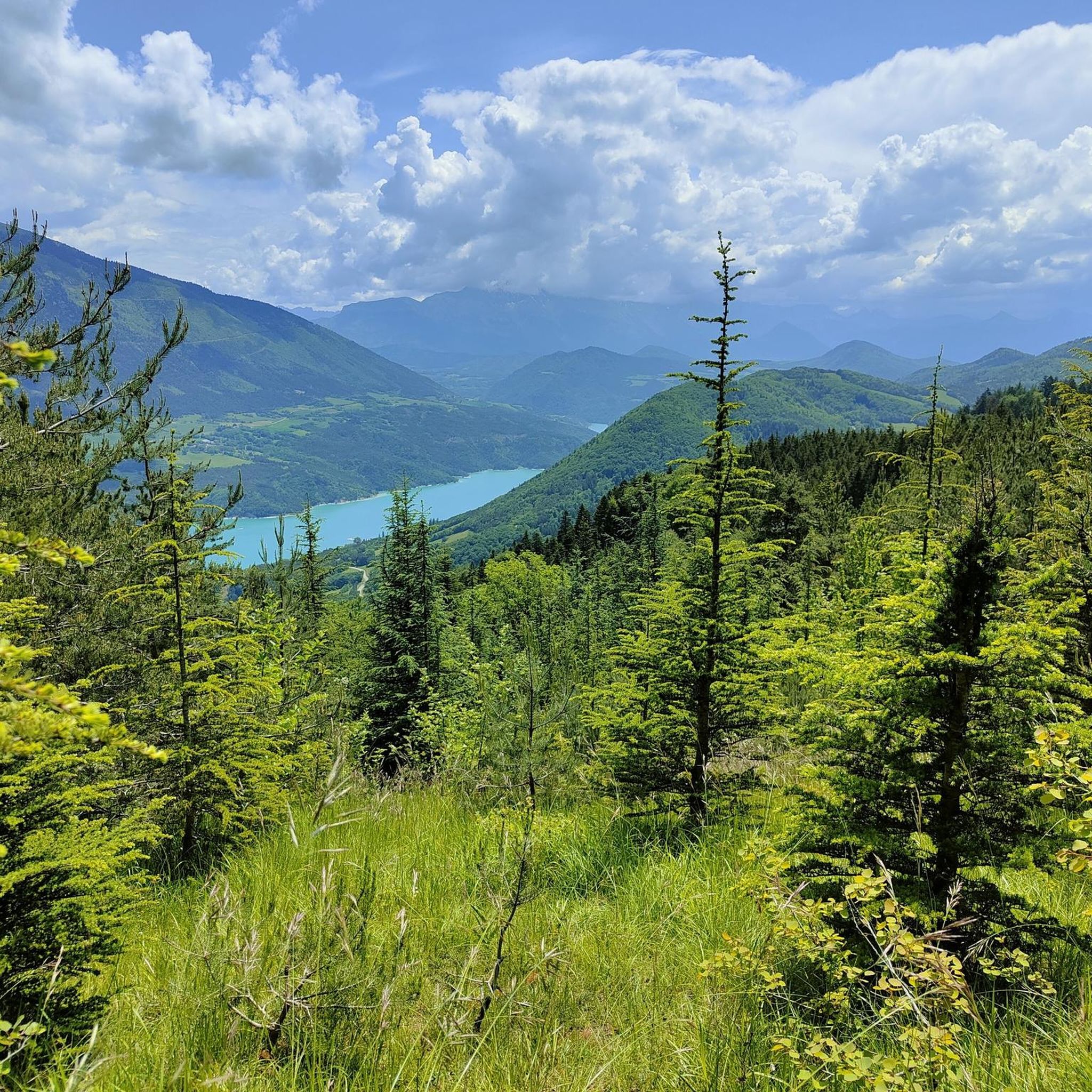
Cycling around Monestier-De-Clermont
Running Trails around Monestier-De-Clermont

Gravel biking around Monestier-De-Clermont

Mountain Hikes around Monestier-De-Clermont
Other adventures around Monestier-De-Clermont

Tips from the Community

From Saint-Michel-les-Portes, it's about 7 km at an average gradient of 8%. The last few kilometers often reach double digits. A cruel climb if it's the last one of your day...
0
0
Beautiful view of the steep banks of Lake Monteynard-Avignonet.
0
0

Beautiful view and nice place with a table
0
0

The Brion Bridge is a suspension bridge over the Hebron River, connecting the towns of Roissard and Lavars. The bridge has only one lane.
0
0
From Lavars to Clelles, the small road is magnificent, and offers a wonderful view of Mont Aiguille
0
0
a very pretty view of Mont Aiguille
0
0

Monestier-de-Clermont is a small town that marks the entrance to the Trièves region when you arrive from Grenoble. It's an ideal place for a short break before the Col de Lus-la-Croix-Haute.
0
0
Frequently Asked Questions
What kind of terrain can I expect on road cycling routes around Monestier-De-Clermont?
The region around Monestier-De-Clermont is characterized by diverse and challenging mountainous terrain. You'll encounter numerous mountain passes and peaks, offering significant ascents and descents with varied gradients and switchbacks. Expect panoramic views of the Alps and the Vercors plateaus, as well as scenic valleys and the dramatic Lake Monteynard-Avignonet.
What is the general difficulty level of road cycling routes in Monestier-De-Clermont?
Road cycling routes in Monestier-De-Clermont are generally geared towards moderate to difficult ability levels. Out of 52 available routes, 26 are classified as moderate and 26 as difficult, featuring significant elevation changes and challenging climbs.
Are there any notable natural features or landmarks to see while road cycling near Monestier-De-Clermont?
Yes, the area is rich in natural beauty. You can expect to see impressive mountain passes like Col de l'Allimas and Col de l'Arzelier. The stunning Grand Veymont, the highest point of the Vercors, is a prominent natural monument. Additionally, the routes often pass near Lake Monteynard-Avignonet, known for its impressive Himalayan footbridges.
What do other road cyclists enjoy most about road cycling in Monestier-De-Clermont?
The area is highly rated by the komoot community, with an average score of 4.6 stars from over 120 reviews. Cyclists frequently praise the challenging ascents, rewarding descents, and the spectacular views of the Alps and Vercors plateaus. The diverse terrain and tranquil environment are also often highlighted.
What is the best time of year for road cycling in Monestier-De-Clermont?
Given the mountainous terrain and altitude, the best time for road cycling is typically from late spring through early autumn (May to October). During these months, the weather is generally more stable, and mountain passes are clear of snow, offering optimal conditions for challenging rides and enjoying the scenic landscapes.
Are there any circular road cycling routes available?
Yes, many routes in the region are designed as loops. For example, the difficult Collet of Sinard, 900 m – Col de l'Allimas loop from Treffort covers 54.6 km, and the moderate Hydraulic dam wall loop from Treffort is a shorter 20.4 km ride near Lake Monteynard-Avignonet.
Can I find routes that offer sustained climbing challenges?
Absolutely. The region is known for its challenging ascents. A prime example is the difficult Col de l'Arzelier – Church of Château-Bernard loop from Saint-Paul-lès-Monestier, which features sustained climbing and panoramic views, covering 38.9 km with over 1000 meters of elevation gain.
Are there any routes that pass by the famous Lake Monteynard-Avignonet?
Yes, several routes incorporate the scenic Lake Monteynard-Avignonet. The Hydraulic dam wall loop from Treffort is one such route, leading through local valleys and offering views of the lake, often completed in about 1 hour 17 minutes.
What are some of the prominent mountain passes I can cycle over?
The Monestier-De-Clermont area is home to several significant mountain passes ideal for road cycling. Notable passes include Col de l'Allimas, Col de l'Arzelier, and Col des Deux, all offering challenging climbs and rewarding descents.
Are there any longer, more demanding road cycling routes for experienced cyclists?
For experienced cyclists seeking longer and more demanding rides, routes like the difficult Brion Bridge – Mens Pass loop from Monestier-de-Clermont are excellent choices. This route spans over 80 km with more than 1500 meters of elevation gain, providing a significant challenge.
Can I find routes that offer views of Mont Aiguille?
Yes, some routes in the area provide stunning vistas of iconic peaks. You can find viewpoints offering an Astonishing view of Mont Aiguille, a distinctive natural landmark in the Vercors region, adding to the scenic reward of your ride.
Are there routes suitable for a half-day ride?
Many routes are well-suited for half-day excursions. For instance, the moderate Hydraulic dam wall loop from Treffort is 20.4 km and typically takes around 1 hour 17 minutes, making it perfect for a shorter ride. Other moderate and some difficult routes can also be completed within a few hours.
Most popular routes around Monestier-De-Clermont
Most popular attractions around Monestier-De-Clermont

Get inspired with the komoot mobile app


Explore more
Browse the best Road cycling routes in other regions.
