The best road cycling routes around Planguenoual
4.3
(213)
4,639
riders
486
rides
Road cycling routes around Planguenoual offer a diverse landscape, combining scenic coastal paths with tranquil rural roads. The region features varied terrain, from routes along the Bay of Saint-Brieuc with its significant tidal range to paths through traditional villages. Cyclists can expect a mix of mostly well-paved surfaces, with options ranging from flat sections to routes with notable elevation gain. This area provides a compelling destination for exploring Brittany's maritime and countryside scenery by road bike.
Best road cycling routes…
Last updated: June 29, 2026
4.8
(5)
100
riders
71.3km
03:11
750m
750m
Moderate road ride. Good fitness required. Mostly well-paved surfaces and easy to ride.
3.0
(3)
62
riders
62.7km
02:55
600m
600m
Moderate road ride. Good fitness required. Mostly well-paved surfaces and easy to ride.

Sign up for free
5.0
(1)
21
riders
10.5km
00:32
140m
150m
Moderate road ride. Great for any fitness level. Some segments of this route may be unpaved and difficult to ride.
4.0
(3)
17
riders
29.8km
01:17
270m
270m
Easy road ride. Great for any fitness level. Mostly well-paved surfaces and easy to ride.
16
riders
23.7km
01:06
220m
220m
Easy road ride. Great for any fitness level. Mostly well-paved surfaces and easy to ride.
Get access to more routes and recommendations from other explorers.
Sign up for free
Already have an account?
Our route recommendations are based on thousands of hikes, rides, and runs completed by other people on komoot.
Start today with a free account
Your next adventure awaits.
Login or Signup
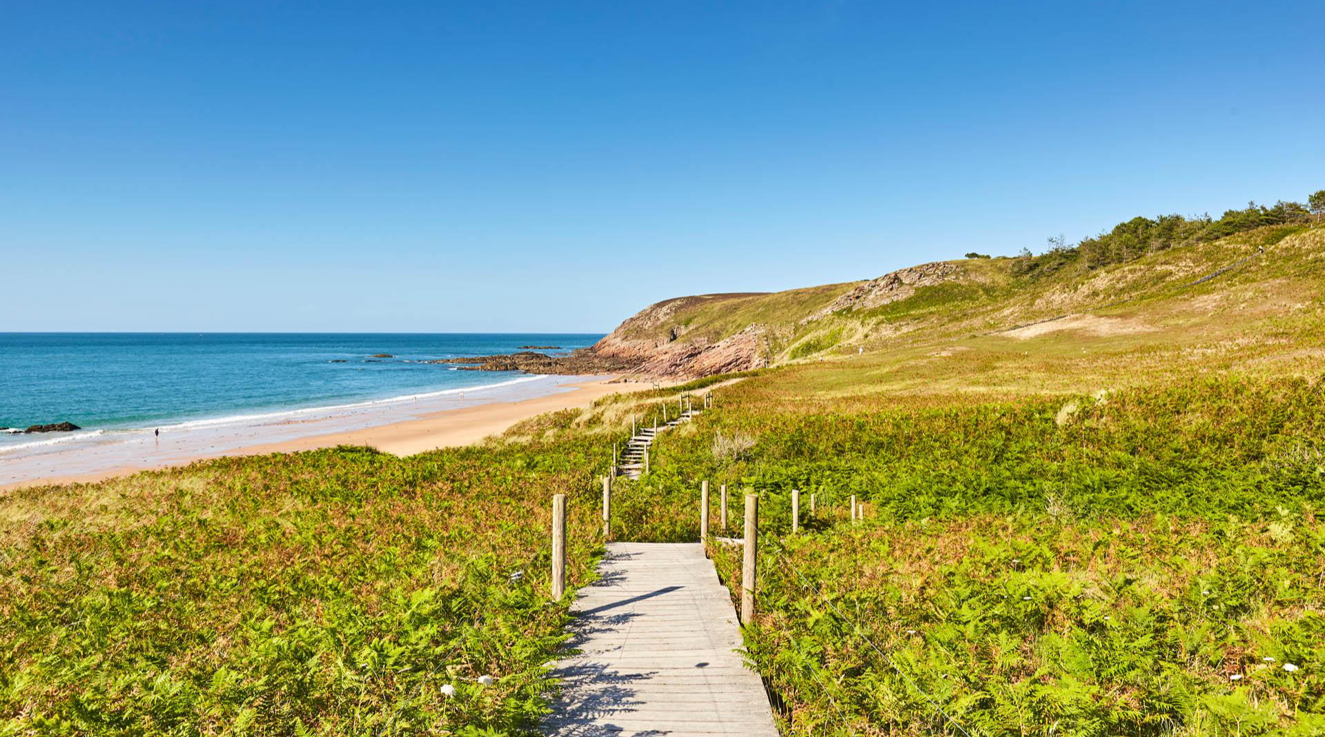
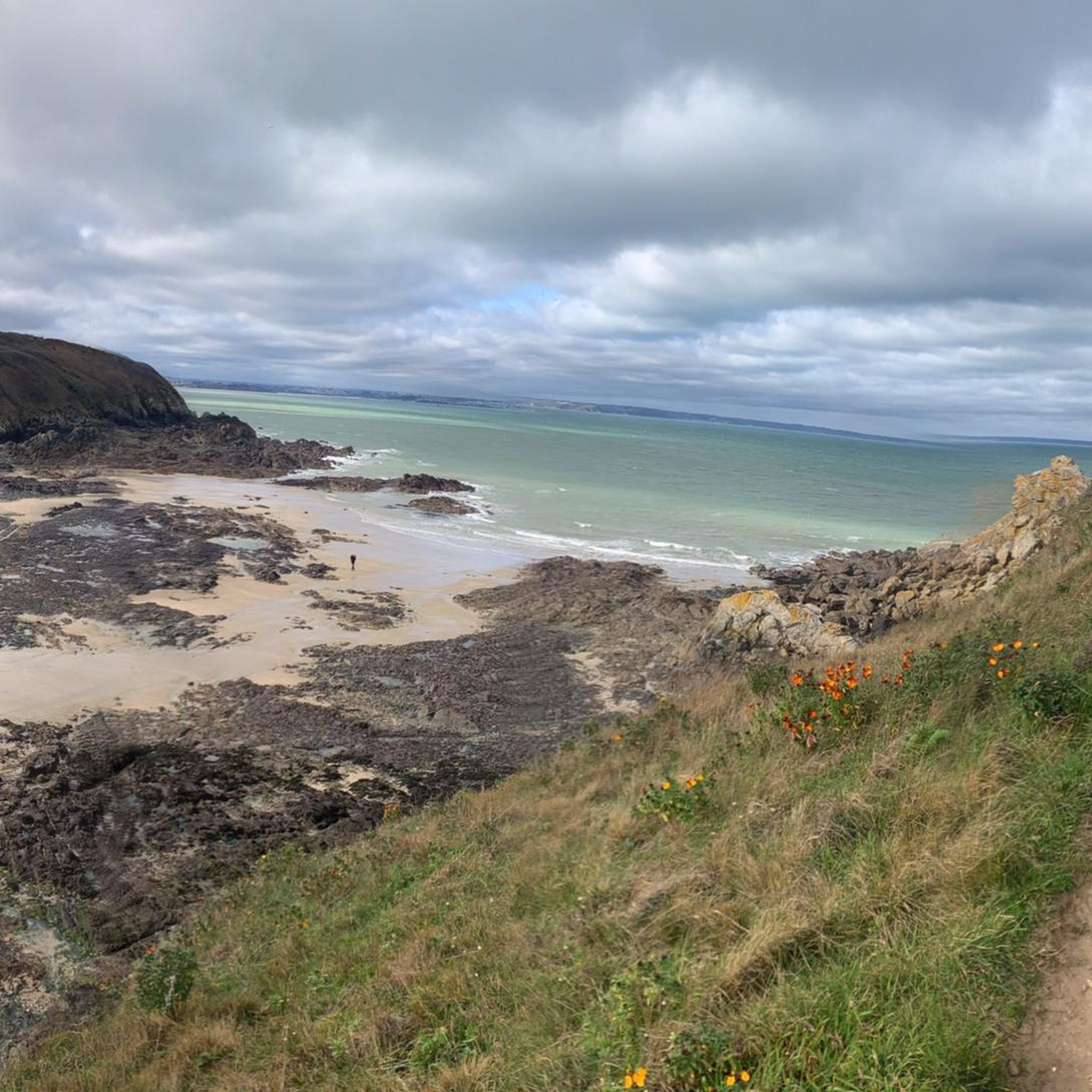
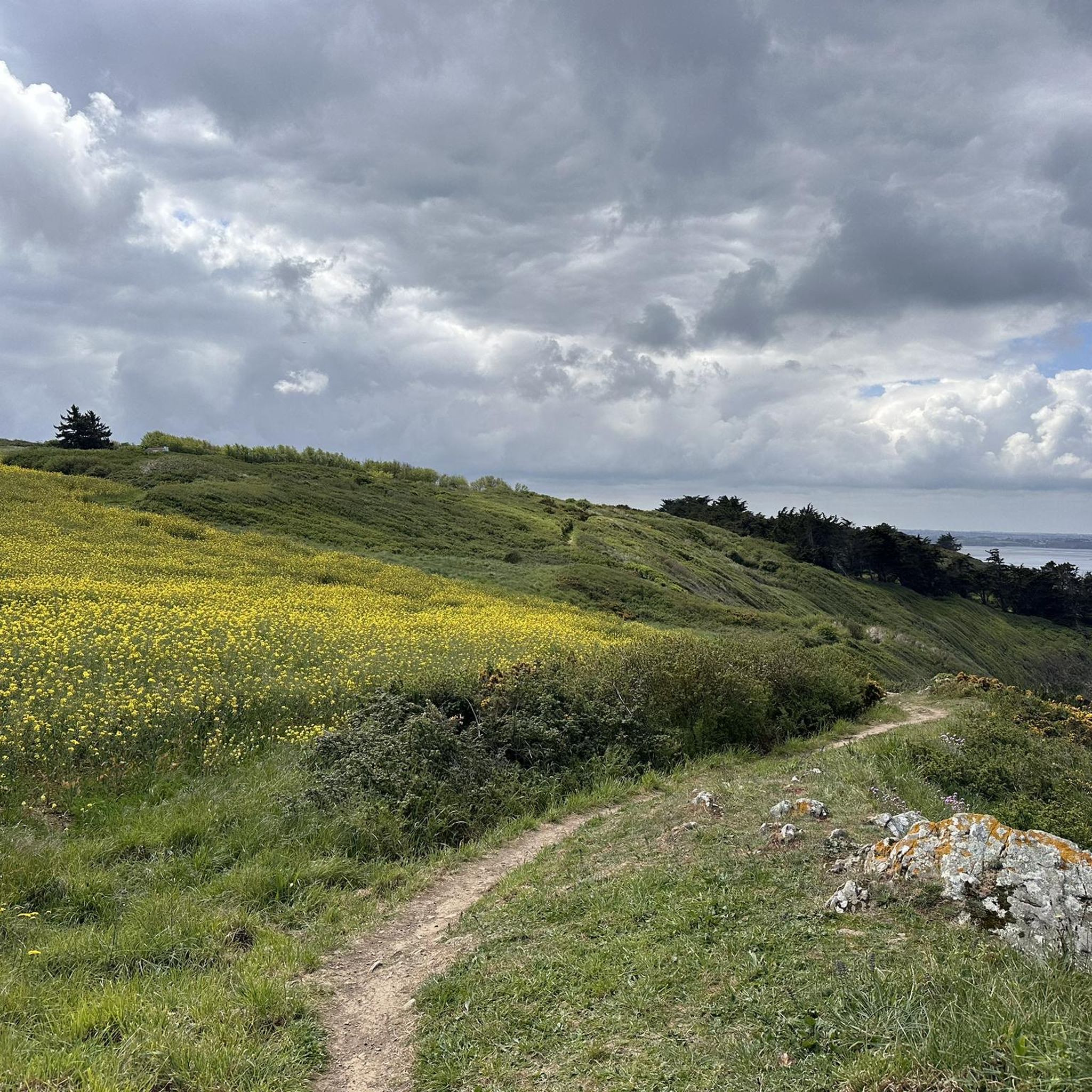
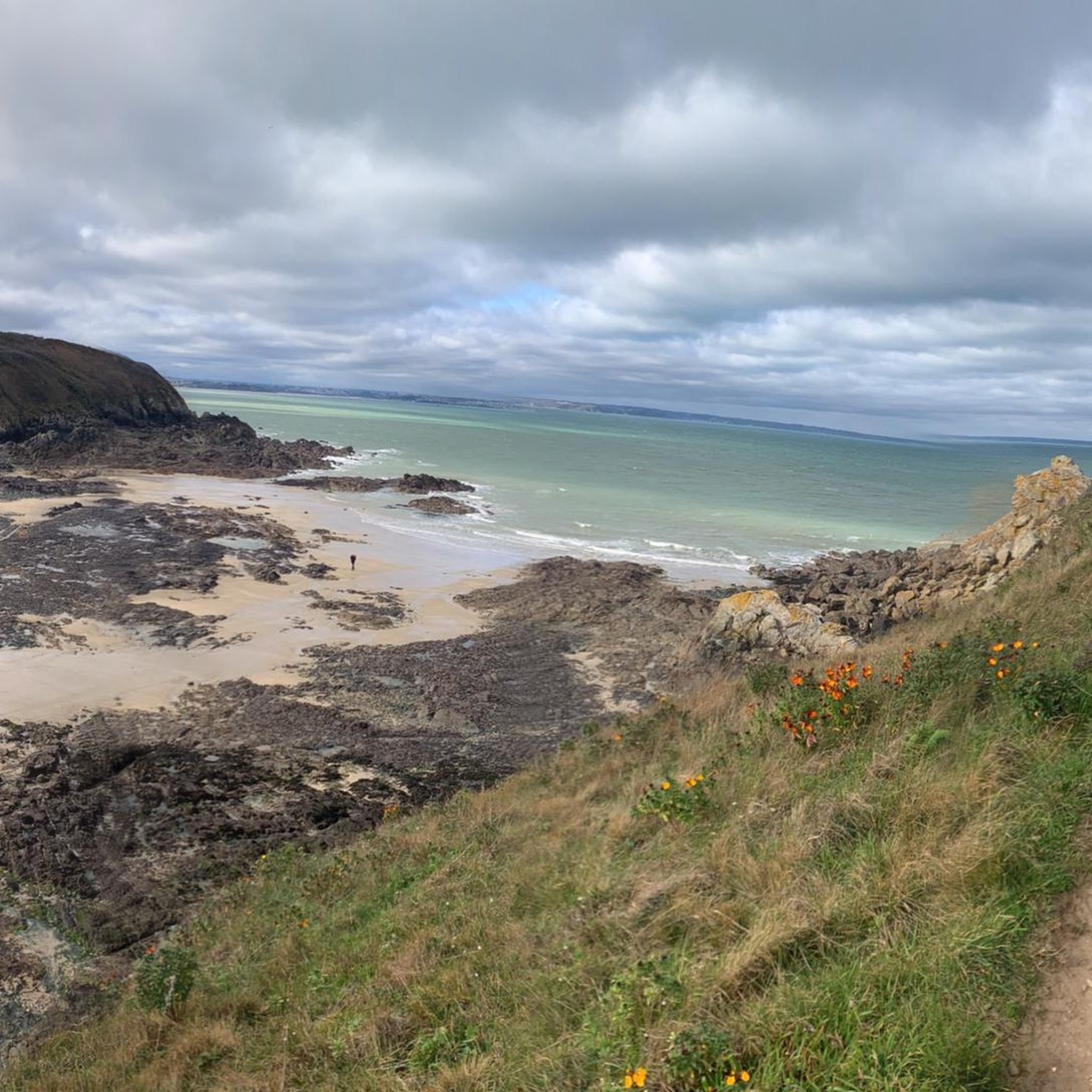
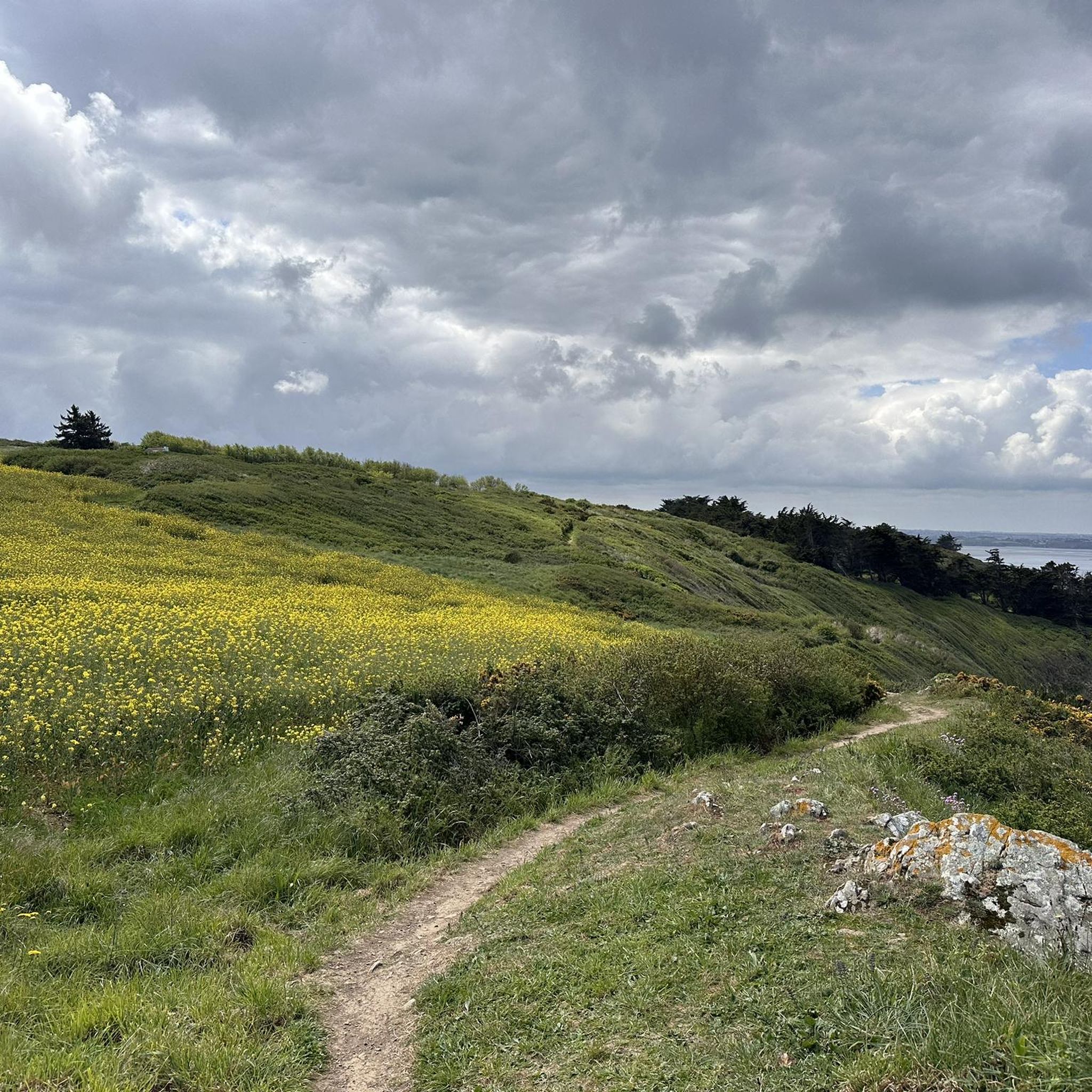
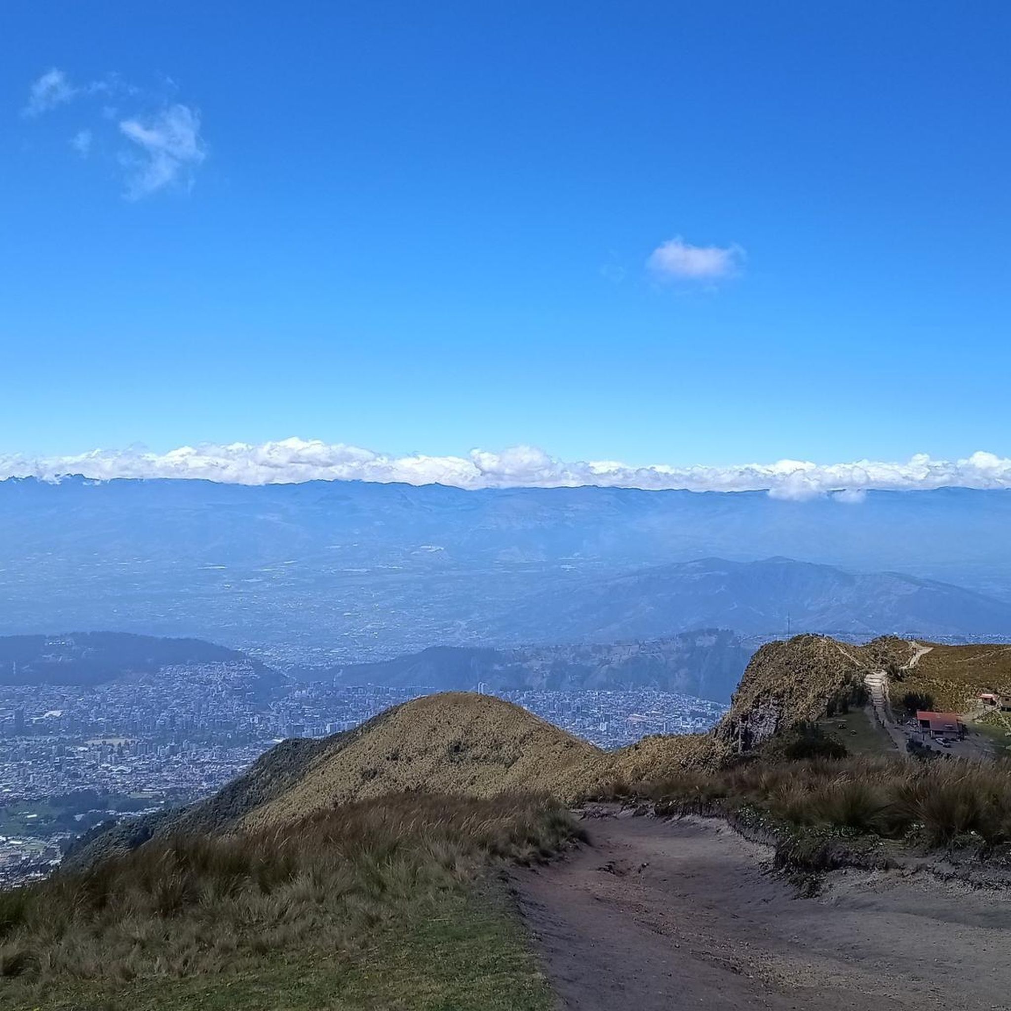
Other adventures around Planguenoual

Tips from the Community

magnificent landscape that will take your breath away in both directions!
0
0

nice view for many kilometers
0
0
great for a short break
1
0
Small historic chapel
0
0
nice viewpoint
0
0
great sandy beach... exceptional length
0
0
nice little port for a welcome break
0
0
Frequently Asked Questions
What kind of terrain can I expect on road cycling routes around Planguenoual?
The region around Planguenoual offers a diverse mix of terrain. You'll find scenic coastal paths with breathtaking views of the Bay of Saint-Brieuc, as well as tranquil rural roads winding through traditional villages. Most surfaces are well-paved, with options ranging from relatively flat sections to routes with notable elevation gain, catering to various fitness levels.
Are there routes suitable for beginners or those looking for an easy ride?
Yes, Planguenoual offers a good selection of easier routes. Approximately 108 of the routes are rated as easy. An example is the Haras National de Lamballe – Port of Dahouët loop from Saint-Aaron, which is an 18.0-mile (28.9 km) path connecting the national stud farm with the Port of Dahouët, offering a mix of rural and coastal scenery.
What are some notable landmarks or attractions I can see while cycling in the area?
Many routes incorporate interesting landmarks. You can cycle past the historic Ponts-Neufs Viaduct, explore the vibrant Dahouët Harbour, or visit the Saint-Brieuc Bay Visitor Centre. The Three Stones Point also offers stunning coastal views. The Haras National de Lamballe, a national stud farm, is another significant attraction often featured on routes, such as the Haras National de Lamballe – Guihallon Menhir loop from Planguenoual.
Are there any long-distance cycling routes or networks near Planguenoual?
Planguenoual is part of the broader Brittany region, which features extensive cycling networks. You can connect to long-distance routes like La Vélomaritime (EuroVelo 4), which offers a mix of maritime and rural scenery along the northern Brittany coast, including areas around Cap Fréhel and Saint-Brieuc Bay. For more information on long cycling routes in Brittany, you can visit Brittany Tourism or France Vélo Tourisme.
What is the best time of year for road cycling in Planguenoual?
The best time for road cycling in Planguenoual is generally from spring through early autumn (April to October). During these months, the weather is typically milder and more stable, making for pleasant riding conditions. The coastal scenery is particularly vibrant in spring and summer.
Are there many circular road cycling routes available?
Yes, many of the road cycling routes around Planguenoual are designed as loops, allowing you to start and finish at the same point. For instance, the popular Port of Dahouët – Saint-Pabu Beach loop from Morieux is a 26.3-mile (42.3 km) route offering coastal views and varied landscapes.
What do other road cyclists say about the routes in Planguenoual?
The road cycling routes in Planguenoual are highly rated by the komoot community, with an average score of 4.5 stars from over 160 reviews. Cyclists often praise the diverse landscapes, combining stunning coastal views with charming rural paths, and the variety of routes suitable for different ability levels.
Can I find routes that offer significant elevation gain for a more challenging ride?
Absolutely. While there are many easy and moderate routes, Planguenoual also offers more challenging options with significant elevation gain. Approximately 58 routes are rated as difficult, providing opportunities for cyclists seeking a more demanding workout amidst the region's varied topography.
Are there any natural features or reserves to explore by bike?
Yes, the region is rich in natural beauty. You can cycle along the Bay of Saint-Brieuc, known for its impressive tidal range, and explore areas like the La Grève des Courses, Saint-Brieuc Bay Nature Reserve or the broader Saint-Brieuc Bay Nature Reserve, which is home to diverse flora and fauna, including migratory birds. The coastal paths also offer views of dramatic cliffs and the sea.
Are there family-friendly road cycling routes in Planguenoual?
While road cycling is generally more suited for experienced riders, some of the easier, flatter routes on quieter rural roads or dedicated cycling paths can be suitable for families with older children. Look for routes designated as 'easy' with minimal elevation, such as the Colombier du Vaujoyeux – Biocoop loop from Le Clos d'Abas, which is 30.3 miles (48.8 km) and rated easy.
Where can I find parking for road cycling routes in Planguenoual?
Many routes around Planguenoual start from towns or villages where public parking is available. Specific starting points for komoot tours often indicate parking options. It's advisable to check the tour details on komoot for the most convenient parking locations near your chosen route's starting point.
Most popular routes around Planguenoual
Most popular attractions around Planguenoual

Get inspired with the komoot mobile app


Explore more
Browse the best Road cycling routes in other regions.
