The best walks and hikes around Saint-Désir
4.3
(149)
665
hikers
72
hikes
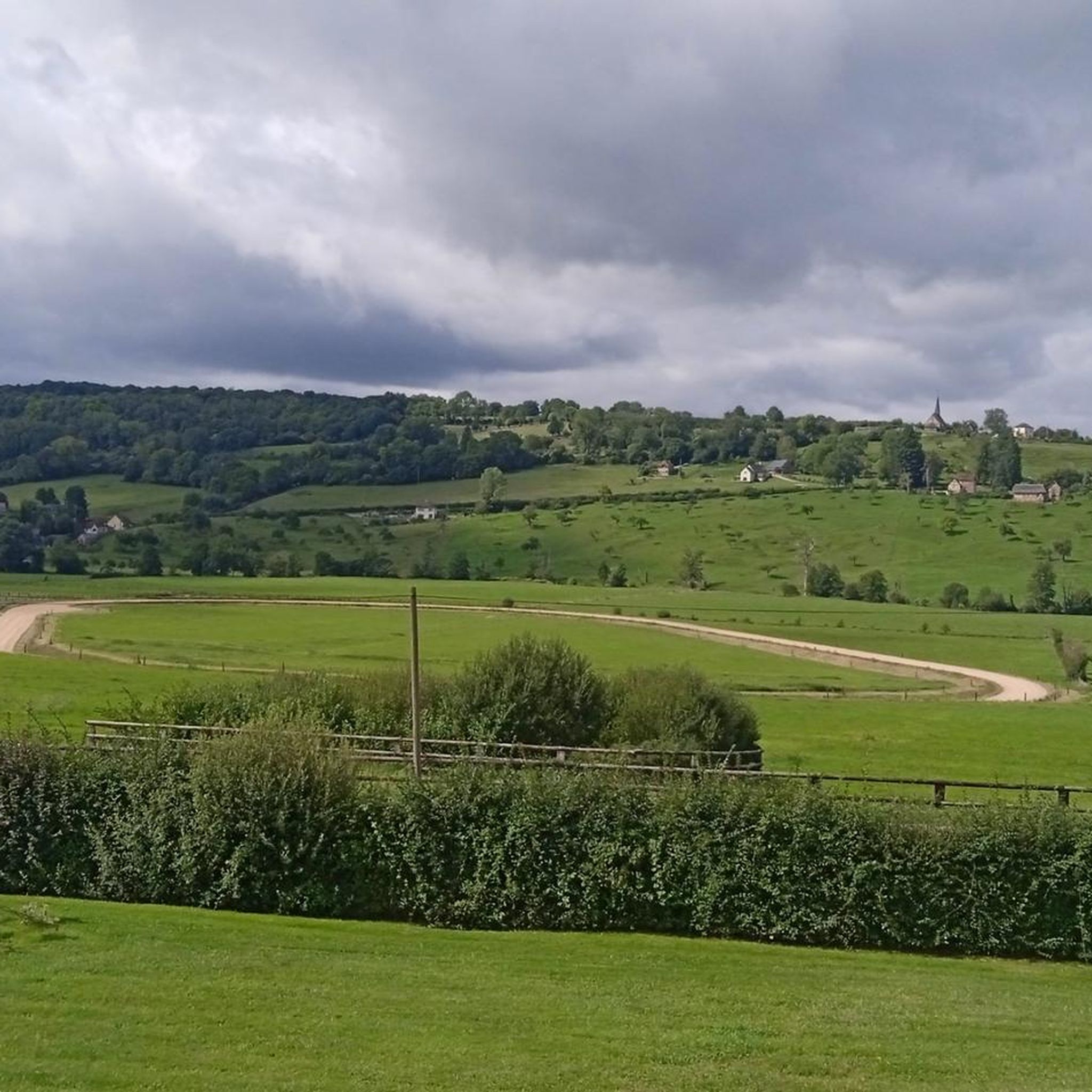
Hiking around Saint-Désir, located in the Calvados department of Normandy, France, offers diverse terrain for outdoor activities. The commune features elevations ranging from 42 to 172 meters, characterized by hills and valleys. It is situated within the Pays d'Auge region, known for its bocage landscape of hedged farmlands, meadows, and woodlands, providing a verdant setting for walks. This varied topography creates engaging routes for hikers of different abilities.
Best hiking trails around Saint-Désir
- The most popular hiking route is Hiking…
Last updated: July 5, 2026
4.5
(6)
20
hikers
8.85km
02:25
130m
130m
Moderate hike. Good fitness required. Easily-accessible paths. Suitable for all skill levels.
5.0
(1)
10
hikers
7.73km
02:07
120m
120m
Moderate hike. Good fitness required. Easily-accessible paths. Suitable for all skill levels.

Sign up for free
5.0
(1)
10
hikers
6.89km
01:47
40m
40m
Easy hike. Great for any fitness level. Easily-accessible paths. Suitable for all skill levels.
5.0
(1)
13
hikers
7.54km
01:57
40m
40m
Easy hike. Great for any fitness level. Easily-accessible paths. Suitable for all skill levels.
9
hikers
24.2km
06:38
390m
390m
Hard hike. Very good fitness required. Easily-accessible paths. Suitable for all skill levels.
Get access to more routes and recommendations from other explorers.
Sign up for free
Already have an account?
Our route recommendations are based on thousands of hikes, rides, and runs completed by other people on komoot.
Start today with a free account
Your next adventure awaits.
Login or Signup


Tips from the Community

Castle built in the 17th century converted into a guest house and site for receptions, weddings, seminars and meetings.
0
0

This charming, rustic-looking church reinforces the charm of Ouilly-le-Vicomte, a small town in the Calvados countryside.
0
0
This beautiful 17th century private chateau now serves as a guest house and site for receptions, weddings, seminars and meetings.
0
0
Frequently Asked Questions
How many hiking trails are available around Saint-Désir?
There are nearly 80 hiking routes available around Saint-Désir. These trails cater to various fitness levels, with a good mix of easy, moderate, and a few more challenging options.
What kind of landscape can I expect on hikes near Saint-Désir?
Hikes near Saint-Désir primarily traverse the picturesque Pays d'Auge region, characterized by its 'bocage' landscape. This means you'll encounter a charming patchwork of hedged farmlands, lush meadows, and woodlands, with undulating terrain featuring hills and valleys. The elevation ranges from 42 to 172 meters, providing diverse and engaging routes.
Are there any easy hiking trails suitable for beginners or families?
Yes, Saint-Désir offers 28 easy hiking trails. A good option for a relaxed walk is the Sports trail loop from Beuvillers, which is 6.9 km long and typically takes under two hours to complete. Another easy route is the Gate Entrance – Sports trail loop from Lisieux, covering 7.5 km.
What do other hikers enjoy most about the trails in Saint-Désir?
The hiking trails in Saint-Désir are highly rated by the komoot community, with an average score of 4.5 stars from over 130 reviews. Hikers often praise the tranquil rural experience, the verdant landscapes, and the well-maintained paths that wind through the characteristic bocage scenery of the Pays d'Auge.
Are there any circular walks around Saint-Désir?
Yes, many of the trails around Saint-Désir are designed as circular routes, allowing you to start and end at the same point. For example, the moderate Hiking loop from Ouilly-le-Vicomte offers views of the undulating countryside, and the Hiking loop from Rocques provides a peaceful rural experience.
What natural features or landmarks can I see while hiking?
While hiking around Saint-Désir, you'll primarily enjoy the natural beauty of the Pays d'Auge, with its hedged farmlands, meadows, and woodlands. The region is also known for its stud farms, and some trails pass by these, offering glimpses of horses in green landscapes. For historical landmarks, you might consider visiting nearby attractions such as Saint-Germain-de-Livet Castle or the Basilica of Saint Thérèse in Lisieux.
Are there any longer or more challenging hikes in the area?
For those seeking a more challenging experience, there are a few difficult routes available. One notable option is the Hermival Castle – Thatched Half-Timbered Cottage loop from Lisieux. This route is approximately 24.2 km long with significant elevation gain, making it a demanding full-day hike.
What is the best time of year to go hiking in Saint-Désir?
The Pays d'Auge region, including Saint-Désir, is beautiful throughout much of the year. Spring and autumn offer pleasant temperatures and vibrant colors, with lush greenery in spring and rich hues in autumn. Summer is also popular, though trails can be busier. The 'bocage' landscape provides some natural shade, which can be welcome on warmer days.
Is Saint-Désir well-connected by public transport for hikers?
While Saint-Désir itself is a smaller commune, it is part of the Lisieux Normandie territory. Lisieux, a larger town nearby, serves as a regional hub and has public transport connections. It's advisable to check local bus schedules or consider driving to trailheads, as direct public transport to all hiking starting points within Saint-Désir may be limited.
Are there any castles or historical sites accessible from the hiking trails?
While not directly on every trail, the region around Saint-Désir is rich in history. You can find historical sites like Hermival Castle and Saint-Germain-de-Livet Castle within a reasonable distance. Some longer routes, like the Hermival Castle loop, incorporate these points of interest into the hiking experience.
What kind of terrain should I expect on the trails?
The terrain around Saint-Désir is varied, reflecting the region's undulating landscape. You can expect a mix of gentle slopes, rolling hills, and flat sections through meadows and woodlands. Paths are generally well-maintained, but some routes may involve uneven surfaces typical of rural trails in the Pays d'Auge.
Most popular attractions around Saint-Désir

Get inspired with the komoot mobile app


Explore more
Browse the best Hikes in other regions.
