The best walks and hikes around Sainte-Honorine-Du-Fay
4.6
(478)
2,498
hikers
167
hikes
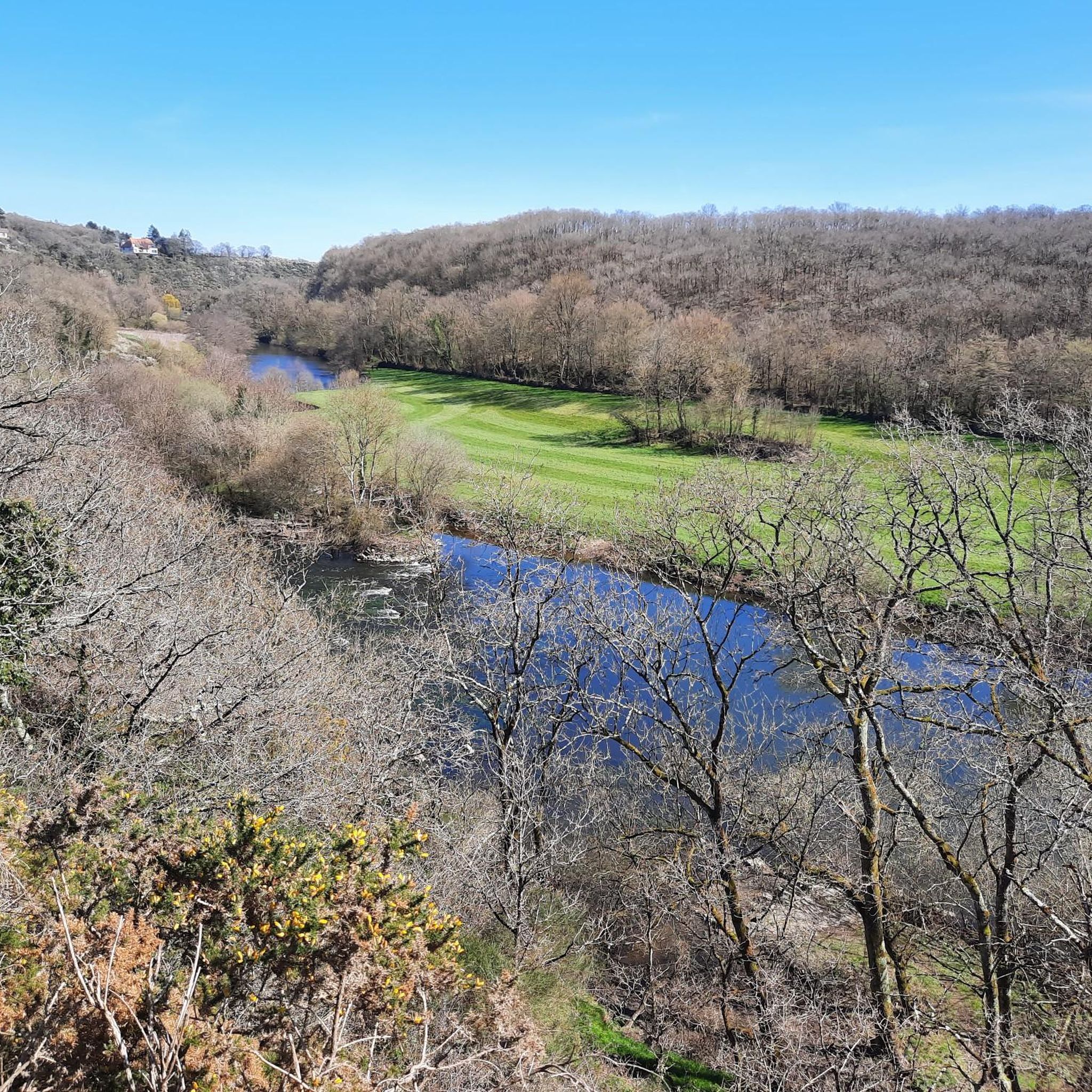
Hiking around Sainte-Honorine-Du-Fay offers access to an extensive network of trails, situated at the gateway to Suisse Normande. The area features diverse terrains, including routes that wind along rivers and streams, pass through fields, and delve into sub-woods shaded by hedgerows. Nearby Grimbosq Forest and Cinglais Forest provide tranquil environments for nature immersion, with paths following the Coupe-Gorge stream. The region's topography includes both flat sections and hilly ascents, showcasing varied landscapes.
Best hiking trails around Sainte-Honorine-Du-Fay
- The most popular…
Last updated: July 2, 2026
4.8
(26)
78
hikers
10.5km
02:48
120m
120m
Moderate hike. Good fitness required. Easily-accessible paths. Suitable for all skill levels.
4.9
(15)
40
hikers
15.6km
04:19
280m
280m
Moderate hike. Good fitness required. Easily-accessible paths. Suitable for all skill levels.

Sign up for free
4.6
(14)
29
hikers
4.79km
01:17
60m
60m
Easy hike. Great for any fitness level. Easily-accessible paths. Suitable for all skill levels.
5.0
(2)
14
hikers
29.2km
07:49
310m
310m
Hard hike. Very good fitness required. Mostly accessible paths. Sure-footedness required.
4.8
(4)
11
hikers
27.1km
07:28
440m
440m
Hard hike. Very good fitness required. Easily-accessible paths. Suitable for all skill levels.
Get access to more routes and recommendations from other explorers.
Sign up for free
Already have an account?
Our route recommendations are based on thousands of hikes, rides, and runs completed by other people on komoot.
Start today with a free account
Your next adventure awaits.
Login or Signup

Tips from the Community


Picnic tables are located on the greenway towards Thury, ideal for a short break.
0
0

St Anne's Church
0
0

Progression through the vegetation to arrive at the ridge and a view of the loops. Some noise from the busy road, but not for too long!
0
1
Be careful to stick to the side of the road, no sidewalks
0
0

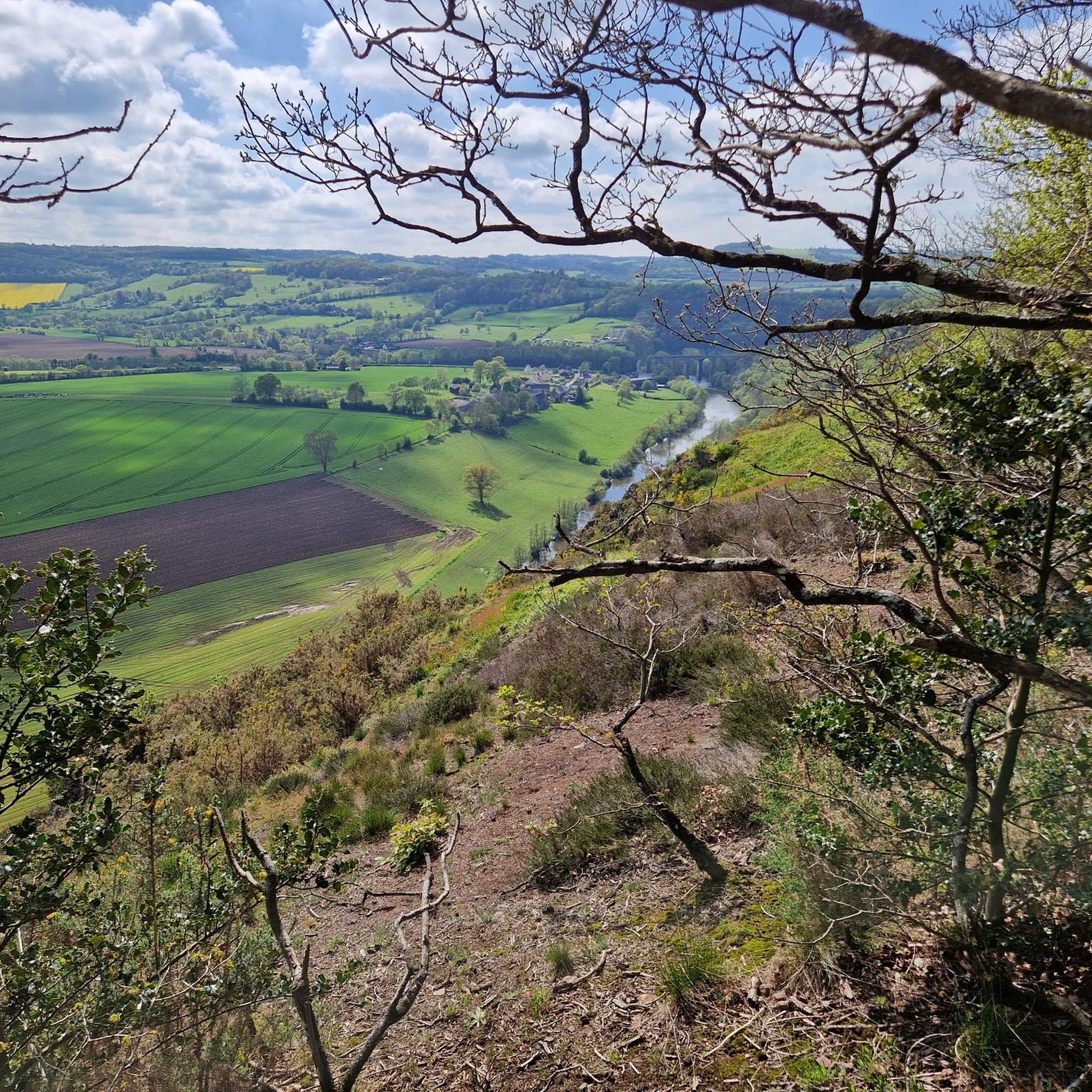
After a short but extremely steep climb you reach several viewpoints with a beautiful view of the valley.
0
0
Frequently Asked Questions
How many hiking trails are available around Sainte-Honorine-Du-Fay?
There are over 145 hiking routes in the Sainte-Honorine-Du-Fay area. This includes a diverse network of communal paths, as well as trails extending into nearby forests and along rivers.
What kind of terrain can I expect on hikes near Sainte-Honorine-Du-Fay?
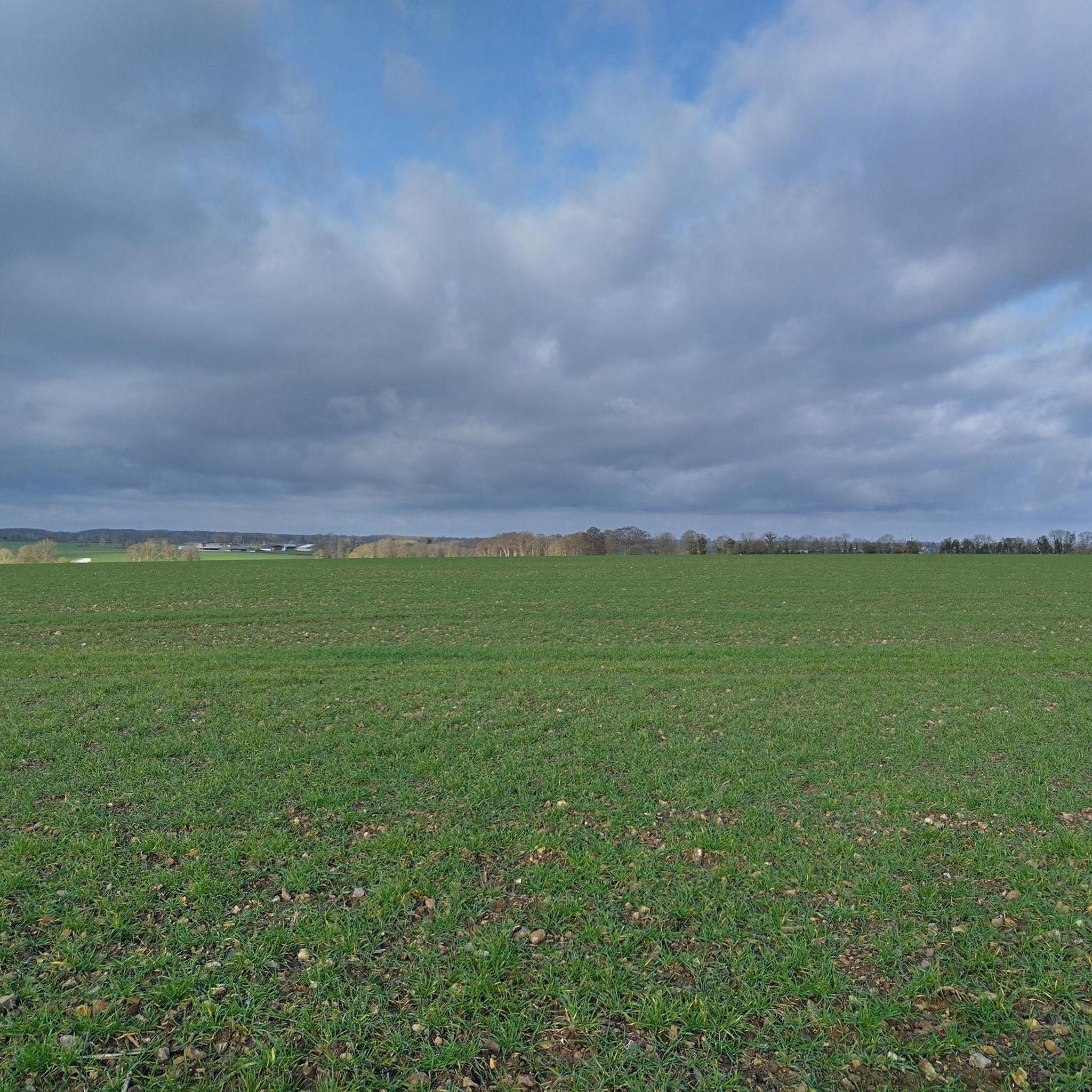
The terrain around Sainte-Honorine-Du-Fay is quite varied. You'll find routes that wind along rivers and streams, pass through open fields, and delve into sub-woods shaded by hedgerows. Some trails are flat, while others offer hilly ascents, especially as you approach the 'gates of Suisse Normande'.
Are there hiking trails suitable for beginners or easy walks?
Yes, the area offers plenty of options for easy walks. There are 54 easy routes available, many of which are part of the local communal path network. An example is the Sainte-Anne Viaduct – Schöner Waldpfad loop from Grimbosq, which is 3.0 miles (4.8 km) and takes about 1 hour 17 minutes.
Can I find longer, more challenging hikes in the area?
Absolutely. For those seeking a greater challenge, there are 5 difficult routes available. A longer option is the Sainte-Anne Viaduct – Le bois de Bully loop from Grimbosq, which spans 29.2 km (18.1 miles) and features significant elevation changes.
Are there any notable landmarks or natural features to see while hiking?
Yes, the region is rich in natural beauty and historical sites. You can explore the Sainte-Anne Viaduct, a prominent landmark, or discover the The Brie Bridge. The area is also known for its proximity to Suisse Normande, the tranquil Grimbosq Forest, and the extensive Cinglais Forest.
Are the hiking trails around Sainte-Honorine-Du-Fay family-friendly?
Many of the local communal paths within Sainte-Honorine-Du-Fay are suitable for families, with some even accessible for strollers. These trails often pass through fields and sub-woods, offering pleasant and safe environments for children.
Are dogs allowed on the hiking trails?
Generally, dogs are welcome on most hiking trails in the Sainte-Honorine-Du-Fay area, especially in natural areas like Grimbosq Forest and Cinglais Forest. It's always recommended to keep them on a leash and respect local regulations, particularly near agricultural land or protected wildlife areas.
What do other hikers enjoy the most about hiking in Sainte-Honorine-Du-Fay?
The area is highly rated by the komoot community, with an average score of 4.6 stars from over 390 reviews. Reviewers often praise the extensive and diverse trail network, the peaceful forest paths, and the scenic beauty of the region, especially its proximity to Suisse Normande.
Are there any circular walks available?
Yes, many of the routes in the area are designed as loops, offering convenient circular walks. For example, the Sainte-Anne Viaduct – Mixed Forest Path loop from Grimbosq is a popular circular route covering 10.9 km (6.7 miles).
What is the best time of year to go hiking in Sainte-Honorine-Du-Fay?
While hiking is enjoyable year-round, autumn is particularly pleasant for walks through areas like Grimbosq Forest, offering beautiful fall foliage. Spring also brings vibrant greenery and comfortable temperatures, ideal for exploring the diverse landscapes.
Are there any trails that follow rivers or streams?
Yes, you can find trails that meander along waterways. The Coupe-Gorge stream, for instance, offers pleasant walks through Grimbosq Forest. Additionally, the Greenway of Suisse Normande, accessible in nearby Feuguerolles-Bully, provides lovely paths along the banks of the Orne River.
Is there public transport access to the hiking areas?
While Sainte-Honorine-Du-Fay itself is a rural commune, public transport options to the broader region exist. For specific trailheads, it's advisable to check local bus schedules for connections from larger towns like Caen, which may offer routes to villages closer to the hiking areas.
Where can I find parking for hiking trails?
Parking is generally available in the villages and near popular trailheads throughout Sainte-Honorine-Du-Fay and the surrounding areas. For trails starting in Grimbosq, for example, there are designated parking spots. Always look for marked parking areas to ensure you are not obstructing local access.
Most popular routes around Sainte-Honorine-Du-Fay
Most popular attractions around Sainte-Honorine-Du-Fay

Get inspired with the komoot mobile app


Explore more
Browse the best Hikes in other regions.
