The best walks and hikes around Saint-Ouen-Sur-Gartempe
4.6
(53)
160
hikers
23
hikes
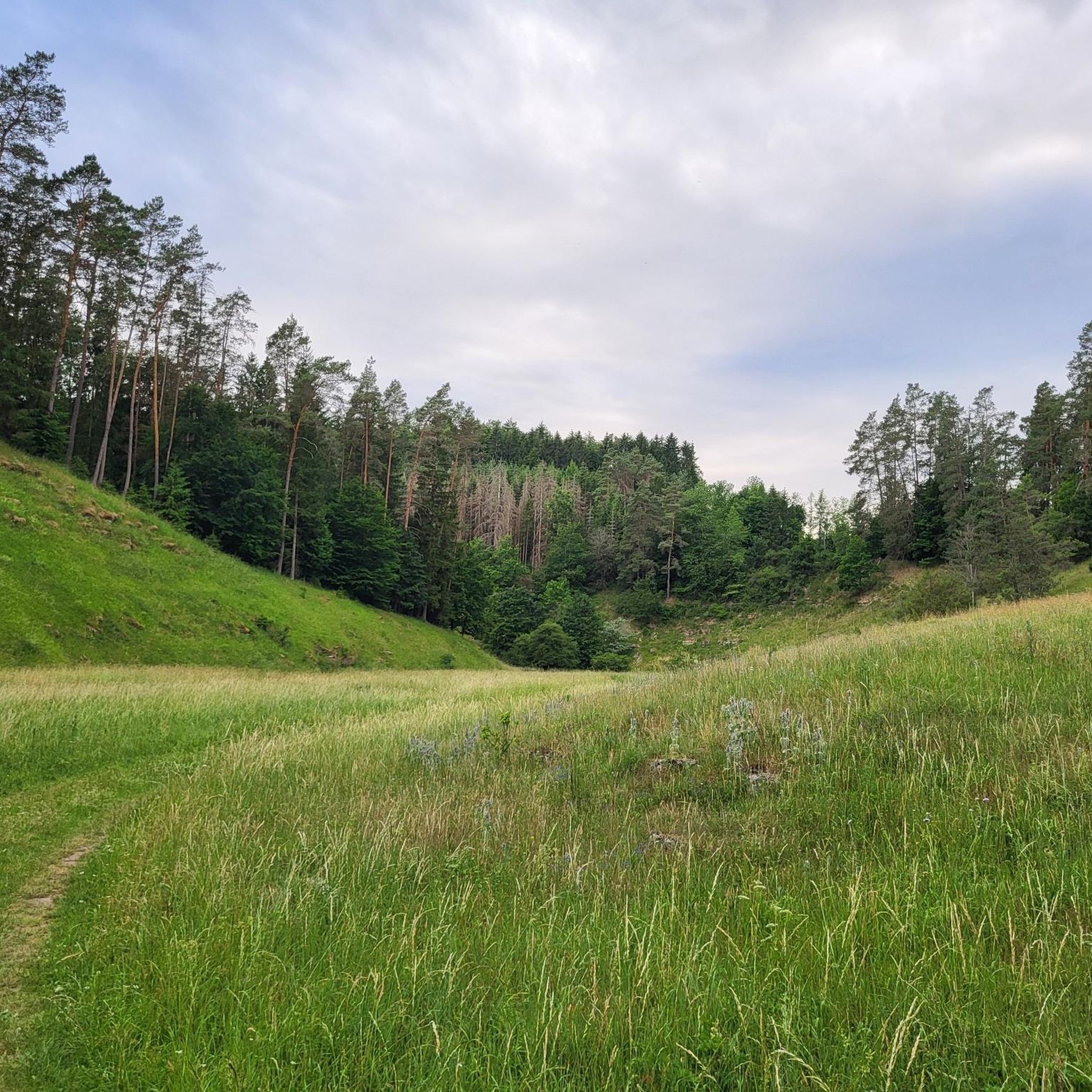
Hiking around Saint-Ouen-Sur-Gartempe offers trails through varied landscapes, characterized by gentle hills, woodlands, and agricultural areas. The region features moderate elevation changes, providing accessible paths for different skill levels. Hikers can explore routes that traverse open countryside and follow water features.
Best hiking trails around Saint-Ouen-Sur-Gartempe
- The most popular hiking route is Lo Bredet do Cro do Loup Trail, a 6.6 miles (10.6 km) trail that takes 2 hours 50 minutes to complete. This moderate route features a mix…
Last updated: July 7, 2026
4.0
(3)
9
hikers
10.6km
02:50
120m
120m
Moderate hike. Good fitness required. Easily-accessible paths. Suitable for all skill levels.
5.0
(1)
7
hikers
9.07km
02:22
70m
60m
Moderate hike. Good fitness required. Easily-accessible paths. Suitable for all skill levels.

Sign up for free
4.2
(10)
20
hikers
8.35km
02:20
160m
160m
Moderate hike. Good fitness required. Easily-accessible paths. Suitable for all skill levels.
4.5
(4)
13
hikers
9.99km
02:41
120m
120m
Moderate hike. Good fitness required. Easily-accessible paths. Suitable for all skill levels.
4.5
(2)
6
hikers
5.38km
01:29
90m
90m
Easy hike. Great for any fitness level. Easily-accessible paths. Suitable for all skill levels.
Get access to more routes and recommendations from other explorers.
Sign up for free
Already have an account?
Our route recommendations are based on thousands of hikes, rides, and runs completed by other people on komoot.
Start today with a free account
Your next adventure awaits.
Login or Signup

Tips from the Community

How to recover a GPX file on Kommot?
0
0

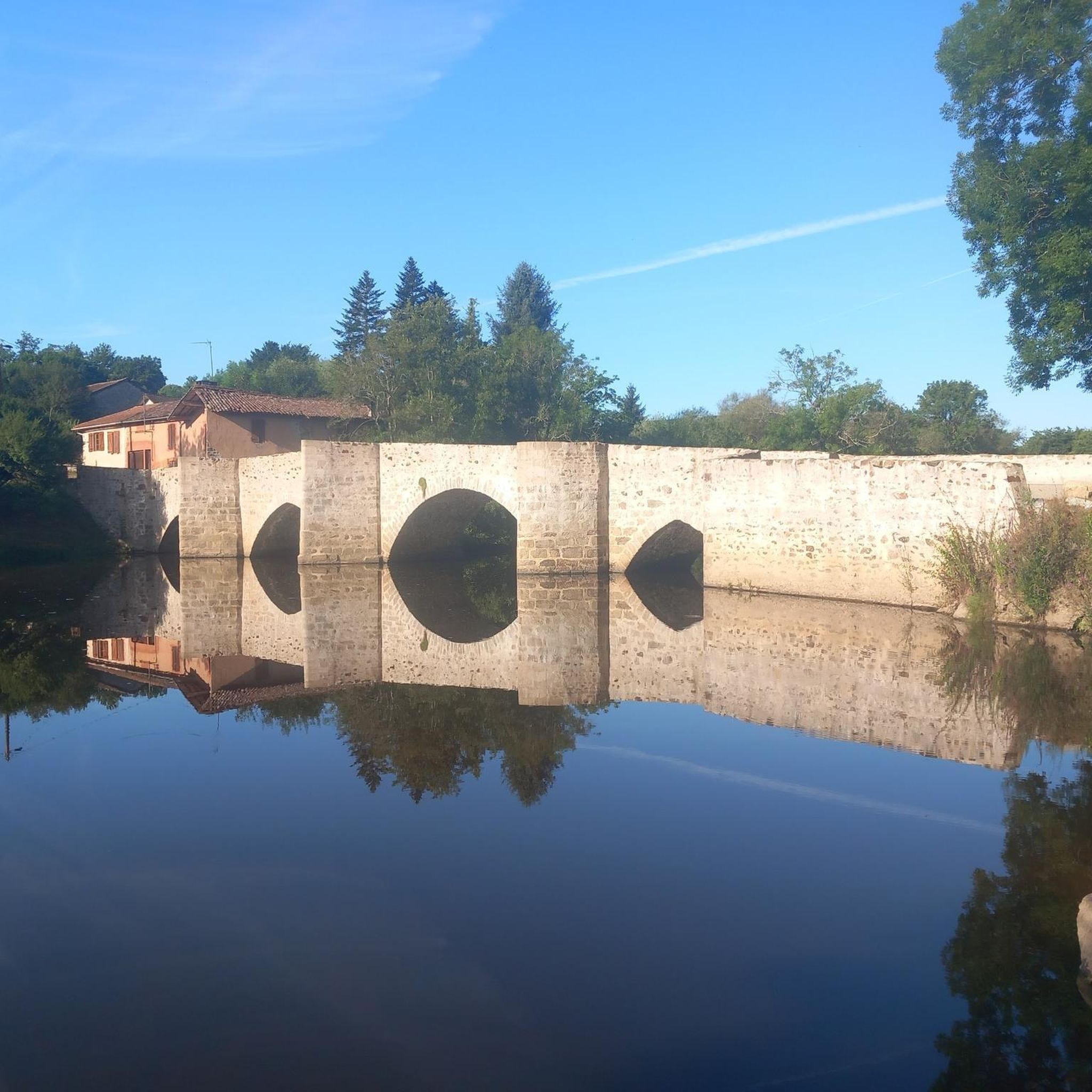
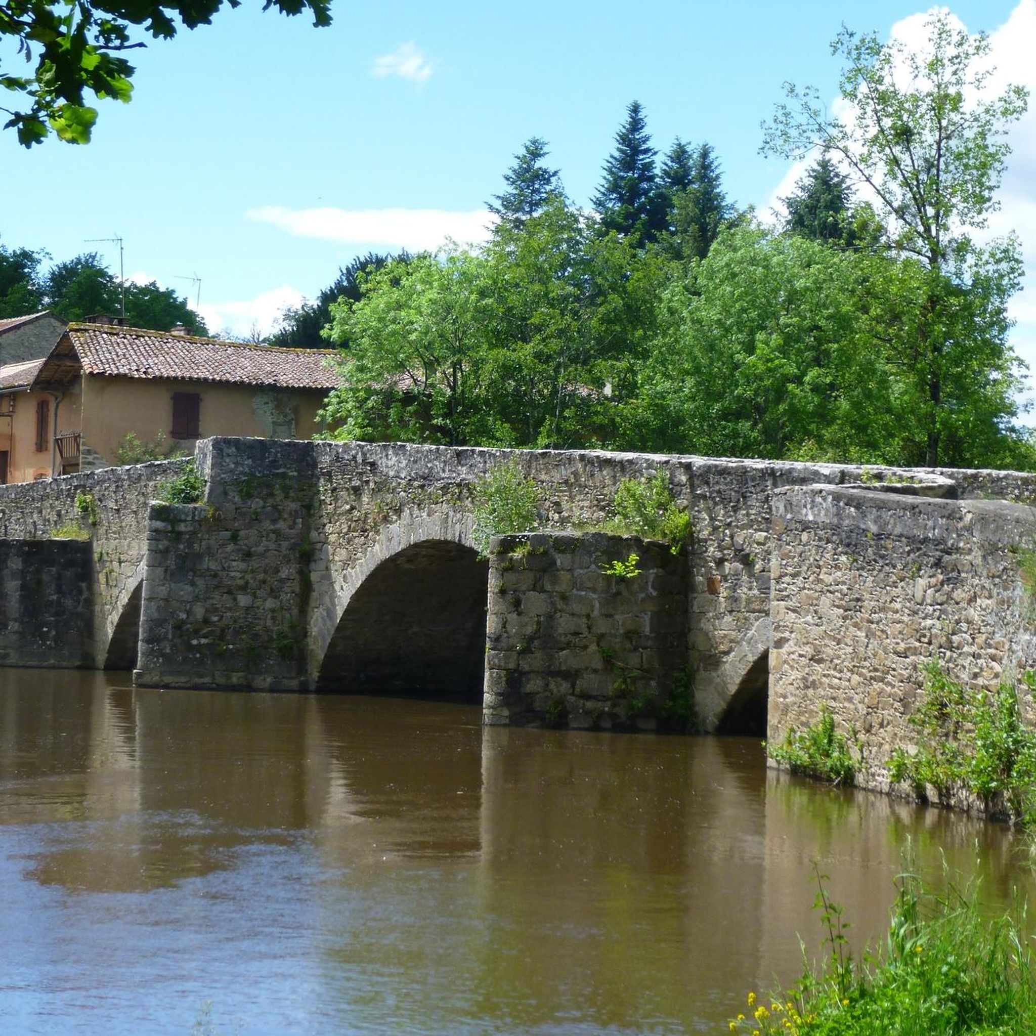
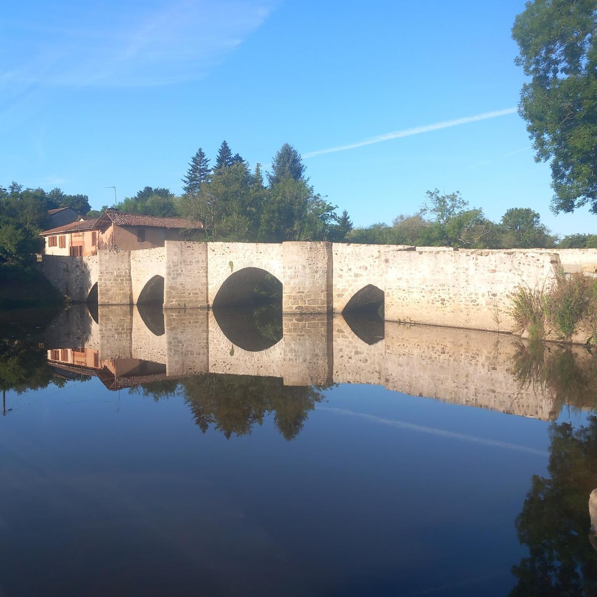
The Beissat Bridge is a 13th century Gothic structure, listed as a historical monument by decree of 23 November 1970. The oldest mention of this bridge is the allusion to a transaction in 1470 relating to neighbouring mills. A toll on this bridge, probably in force for a long time, was closed in 1660. The structure formerly linked Bellac to Le Dorat. It consists of four arches, the middle one being semicircular and the other three being pointed arches. The piers are very wide and the profile is humpbacked. The spurs have a very sharp acute angle. In 1567, Monsieur de La Messelière's company broke the bridge to stop the Huguenot army. It was certainly at this time that the semicircular arch was rebuilt.
0
0
beautiful 7km hike from Bellac. To be explored in dry weather (muddy trails in places).
0
0

The bridge dates from the 13th century and is considered a link between neighboring mills. In 1660, you had to pay a toll to cross it.
2
0
The bridge dates from the 13th century and is considered a link between neighboring mills. In 1660, you would have had to pay a toll to cross it.
2
0
A former Romanesque church, it has existed on this site since at least 866, when it was destroyed by the Normans.
1
0

The character town of Magnac-Laval has retained part of its ramparts and some vestiges of its priory. There is also a lapidary museum and very beautiful old doors in the small streets.
1
0
Pouyades fishing pond, with shaded picnic tables by the water's edge.
1
0
Frequently Asked Questions
How many hiking trails are available around Saint-Ouen-Sur-Gartempe?
There are over 20 hiking trails in the Saint-Ouen-Sur-Gartempe area, offering a variety of experiences for different skill levels.
Are there easy hiking trails suitable for beginners in Saint-Ouen-Sur-Gartempe?
Yes, the region offers 8 easy hiking routes. These trails typically feature gentle terrain and shorter distances, perfect for those new to hiking or looking for a relaxed walk.
Can I find circular hiking routes in the area?
Yes, many trails in the region are circular. For example, the Chemin des moulins loop from Bellac is a popular circular route that takes you through historical mill paths and riverside landscapes.
What are the typical distances and durations for hikes around Saint-Ouen-Sur-Gartempe?
Hikes in the region vary in length and duration. Moderate trails like the Lo Bredet do Cro do Loup Trail are around 6.6 miles (10.6 km) and take about 2 hours 50 minutes, while shorter loops like the Pouyades pond loop from Magnac-Laval are about 6.4 miles (10.2 km) and can be completed in just over 2 hours 40 minutes.
Are there any family-friendly walking options?
Many of the easy and moderate trails are suitable for families, offering accessible paths through woodlands and open countryside. The gentle hills make for enjoyable walks without overly strenuous climbs.
What kind of natural scenery can I expect on the trails?
The trails around Saint-Ouen-Sur-Gartempe are characterized by gentle hills, varied woodlands, and open agricultural areas. You'll often find routes following water features and leading through areas with distinctive natural scenery, such as the White Stones Trail.
What interesting landmarks or attractions can I see near the hiking routes?
The region offers several points of interest. You can explore the charming Magnac-Laval - Town of Character, the historic Le Dorat - Small Town of Character with its impressive Collegiate Church, or discover the Chemin des moulins and the Old Bridge of Beissat over the Gartempe.
Is there parking available at the trailheads?
While specific parking details vary by trailhead, many routes in rural French areas like Saint-Ouen-Sur-Gartempe typically have designated parking areas or roadside spots near the starting points, especially in or near villages.
What is the best time of year to go hiking in Saint-Ouen-Sur-Gartempe?
Spring and autumn are generally ideal for hiking in this region, offering pleasant temperatures and beautiful scenery with blooming wildflowers or vibrant fall foliage. Summer can also be enjoyable, especially in the mornings or late afternoons, though it can be warmer.
What do other hikers enjoy most about hiking in Saint-Ouen-Sur-Gartempe?
The area is highly rated by the komoot community, with an average score of 4.6 stars from over 40 reviews. Hikers often praise the region's varied terrain, from open countryside to wooded sections, and the well-maintained paths that cater to different ability levels.
Are there any longer or more challenging hikes for experienced trekkers?
Yes, for those seeking a greater challenge, there is at least one difficult route available. The Hiking loop from Le Dorat is a longer trail, spanning nearly 15 miles (23.8 km) and taking over 6 hours to complete, offering more extensive exploration.
Most popular routes around Saint-Ouen-Sur-Gartempe
Most popular attractions around Saint-Ouen-Sur-Gartempe

Get inspired with the komoot mobile app


Explore more
Browse the best Hikes in other regions.
