The best walks and hikes around Wittisheim
4.5
(1417)
6,235
hikers
322
hikes
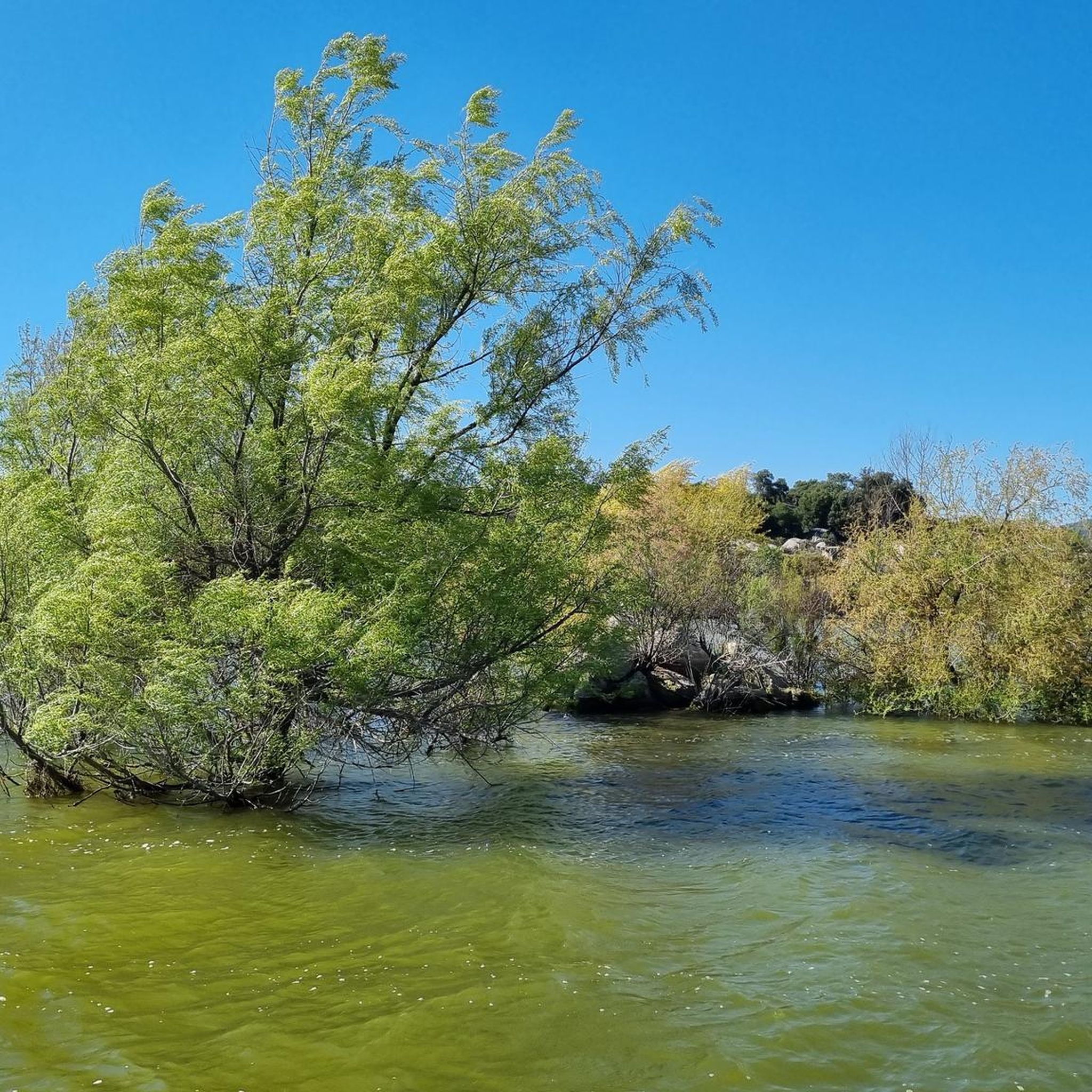
Hiking around Wittisheim offers exploration within the Grand Ried region, characterized by its unique wetland environment. This area features a rich interplay of riparian forests, waterways, and meadows, providing diverse natural settings for trails. The landscape transitions from dense woodlands to open fields, influenced by the Ill and Rhine rivers.
Best hiking trails around Wittisheim
- The most popular hiking route is The Ill near Ehnwihr – SensoRied loop from Muttersholtz, a 1.5 mile (2.4 km) trail that takes about…
Last updated: June 28, 2026
4.5
(2)
13
hikers
8.88km
02:14
10m
10m
Moderate hike. Good fitness required. Easily-accessible paths. Suitable for all skill levels.
5.0
(1)
7
hikers
15.7km
03:57
20m
20m
Moderate hike. Good fitness required. Easily-accessible paths. Suitable for all skill levels.

Sign up for free
2
hikers
6.74km
01:42
10m
10m
Easy hike. Great for any fitness level. Easily-accessible paths. Suitable for all skill levels.
5.0
(2)
2
hikers
8.11km
02:02
10m
10m
Moderate hike. Good fitness required. Easily-accessible paths. Suitable for all skill levels.
5
hikers
5.56km
01:24
10m
10m
Easy hike. Great for any fitness level. Easily-accessible paths. Suitable for all skill levels.
Get access to more routes and recommendations from other explorers.
Sign up for free
Already have an account?
Our route recommendations are based on thousands of hikes, rides, and runs completed by other people on komoot.
Start today with a free account
Your next adventure awaits.
Login or Signup
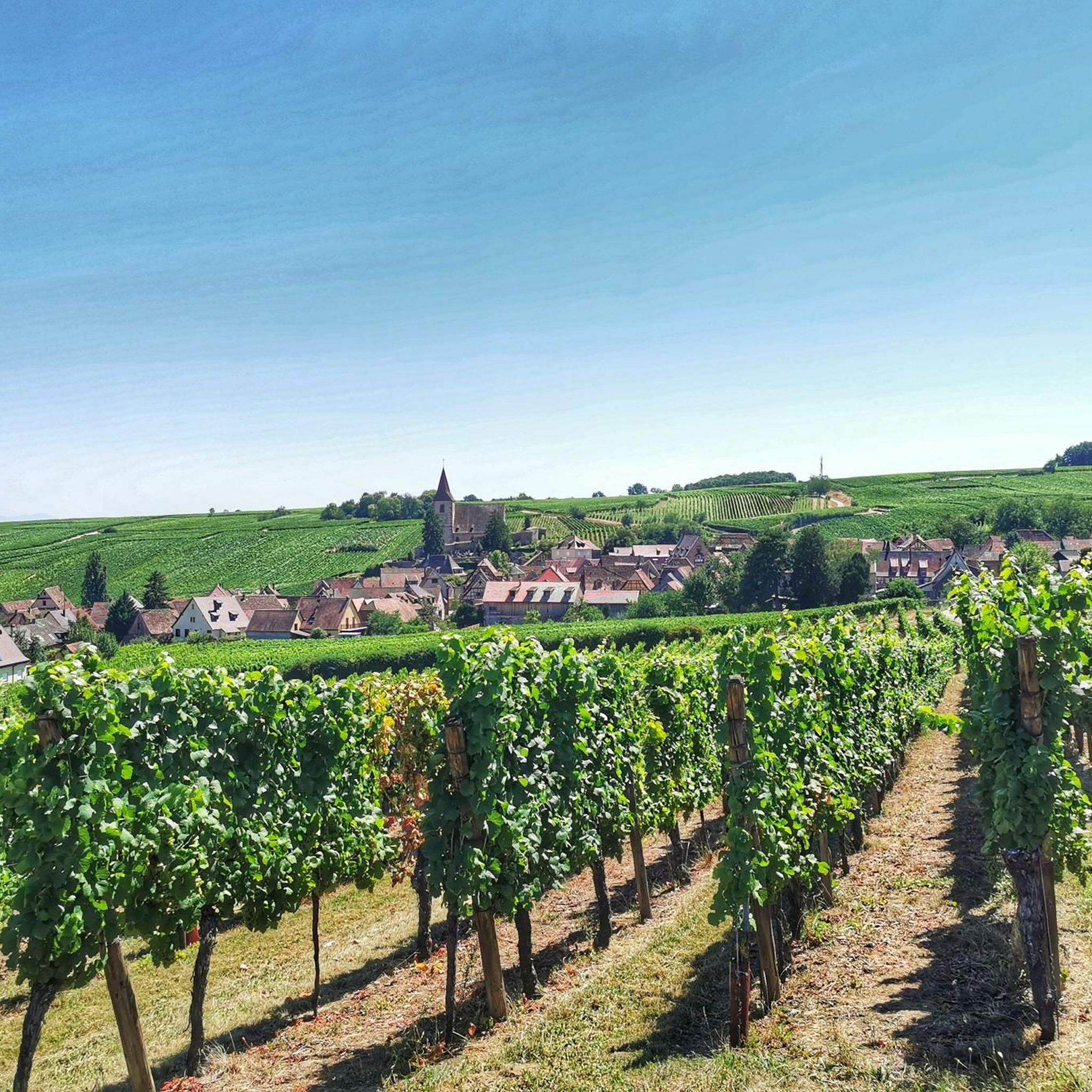
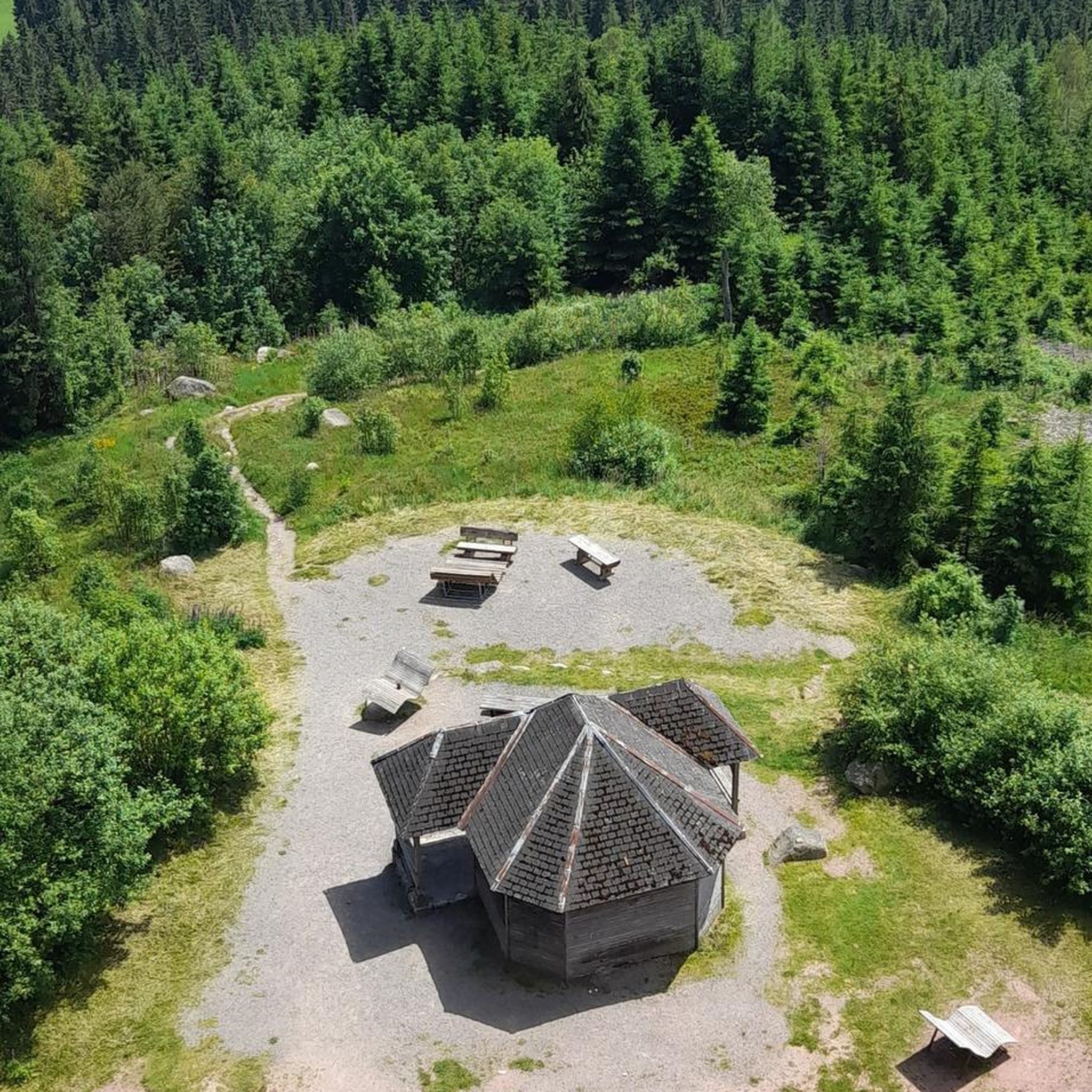
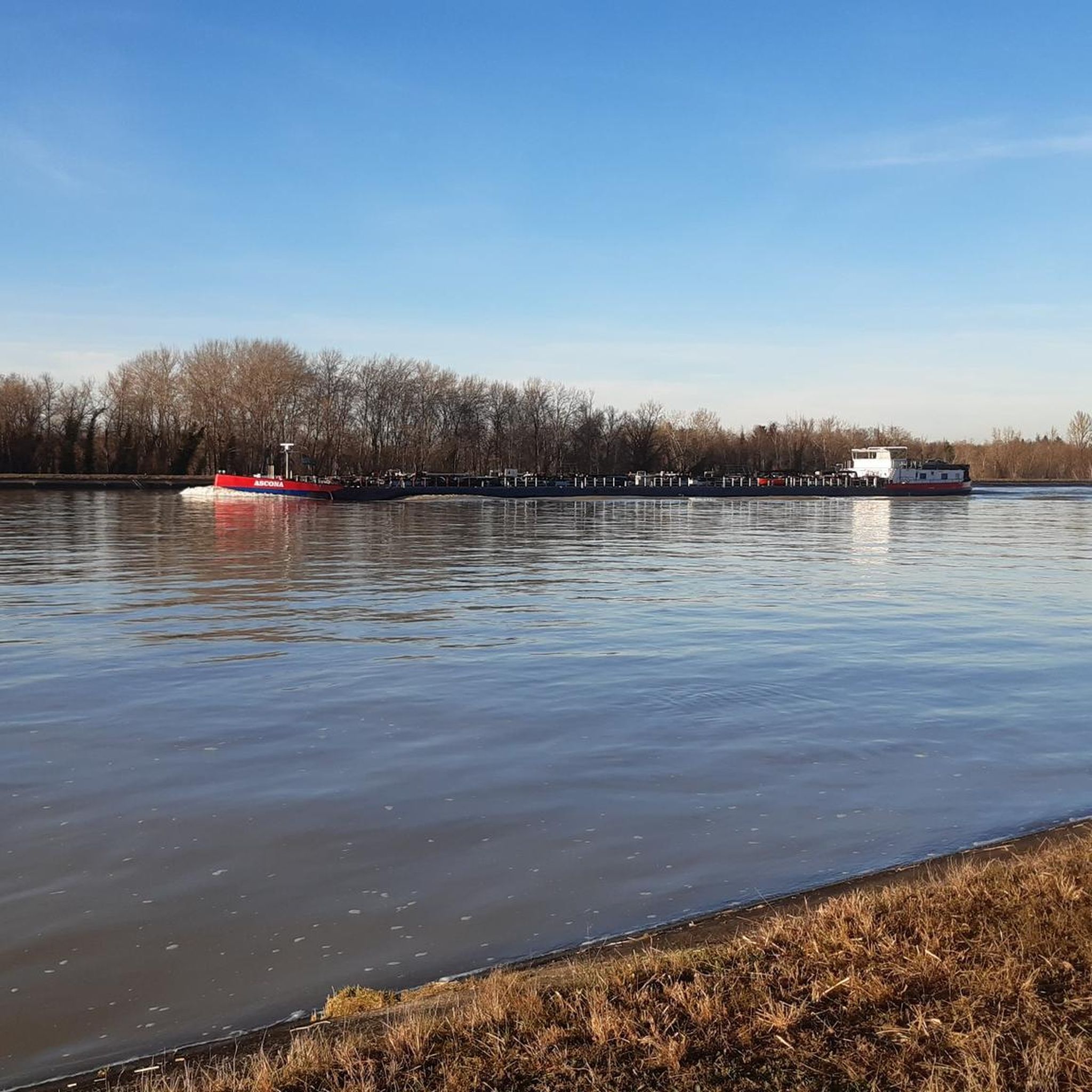
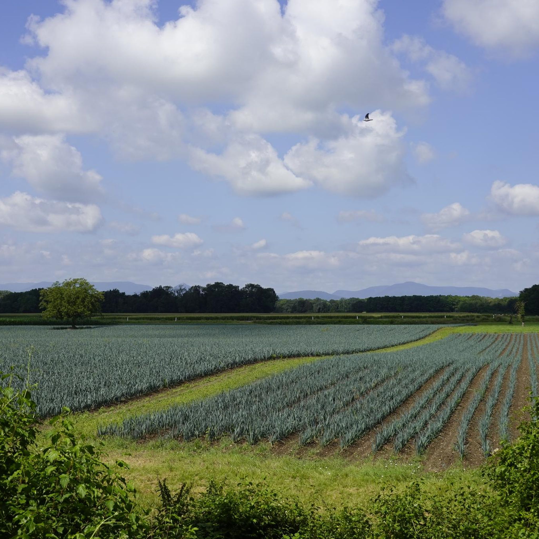
Tips from the Community

Beautiful route along the Rhine-Rhône Canal near Wittisheim.
0
0
Beautiful lock system on the canal.
0
0

Bring high shoes, can often be muddy.
0
0


No longer functional lock on the Rhine-Rhone Canal near Wittisheim. Nice bike path along the canal. More information: https://de.wikipedia.org/wiki/Rhein-Rh%C3%B4ne-Kanal#History
3
0
Beautiful cycle path on the Rhine-Rhone Canal and nice access near Wittisheim. More information: https://de.wikipedia.org/wiki/Rhein-Rh%C3%B4ne-Kanal#History
3
1
Beautiful landscape on the Ill near Ehnwihr. More information: https://de.wikipedia.org/wiki/Ehnwihr
1
0
Frequently Asked Questions
What kind of terrain can I expect on hiking trails around Wittisheim?
Hiking around Wittisheim primarily features the unique wetland environment of the Grand Ried region. You'll find a rich interplay of riparian forests, waterways, and meadows. The landscape often transitions from dense woodlands to open fields, influenced by the Ill and Rhine rivers. Trails are generally flat, reflecting the region's low elevation.
How many hiking trails are available in the Wittisheim area?
There are over 300 hiking routes available around Wittisheim. The majority, more than 200, are considered easy, with about 90 moderate trails and a few more challenging options.
Are there any family-friendly hiking options near Wittisheim?
Yes, Wittisheim offers many family-friendly trails, especially those that are easy and relatively short. The region's flat terrain and diverse natural features, like the Grand Ried wetlands and forests, make for engaging walks for all ages. For instance, the Sundhouse loop from Sundhouse is an easy 5.1 km trail suitable for families.
Can I find circular hiking routes in Wittisheim?
Yes, many of the trails around Wittisheim are circular, allowing you to start and end at the same point. An example is the moderate Hiking loop from Diebolsheim, which covers about 15.7 km through fields and villages.
What natural attractions or landmarks can I see while hiking near Wittisheim?
The region is rich in natural beauty. You can explore the Taubergießen Floodplain, a significant wetland area, or visit the Elzwiesen Nature Reserve. There's also a Taubergießen Birdwatching Tower for wildlife enthusiasts, and various forest trails like the Forest trail along the Taubergießen.
Are there any lakes or water features along the hiking trails?
Yes, the region is characterized by its waterways. You can find highlights like the Blaues Loch Pond in Taubergießen or the Birkenwaldsee. Many trails also follow the Ill and Rhine rivers, offering scenic views of the water.
What do other hikers say about the trails in Wittisheim?
The hiking routes in Wittisheim are highly rated by the komoot community, with an average score of 4.5 stars from over 1,300 reviews. Hikers often praise the tranquil wetland environment, the diverse flora and fauna, and the well-maintained trails that showcase the unique natural beauty of the Grand Ried.
Is Wittisheim a good place for wildlife spotting during a hike?
Absolutely. The Grand Ried wetlands are a haven for diverse wildlife. You might spot various insects, birds like herons and storks, and mammals such as hares and deer. The Taubergießen Birdwatching Tower is a dedicated spot for observing the local birdlife.
Are there any specific botanical trails in the area?
Yes, Wittisheim features a Sentier Botanique (Botanical Path), a 6 km circuit designed to showcase the richness of the Ried's forests. This trail guides visitors through typical local trees and shrubs, with explanations in French and German, making it an educational and enjoyable walk.
What is the best season to hike around Wittisheim?
The Grand Ried region experiences regular flooding in autumn and during snowmelt, which creates its distinctive wetland landscape. While beautiful, this might affect trail conditions. Spring and summer generally offer pleasant weather for hiking, allowing you to fully appreciate the diverse flora and fauna. Always check local conditions before heading out.
Are there any longer, moderate trails for more experienced hikers?
Yes, for those looking for a longer outing, there are moderate trails available. The Baldenheim–Mussig Farmland loop from Baldenheim is a moderate 8.1 km route that takes you through farmland and offers a different perspective of the region.
What are the typical elevations like on Wittisheim's hiking trails?
The hiking trails around Wittisheim are generally characterized by very low elevation changes. The region is part of the Grand Ried, a flat wetland area, so you can expect mostly level paths with minimal ascents or descents, making for generally easy walking.
Most popular routes around Wittisheim
Most popular attractions around Wittisheim

Get inspired with the komoot mobile app


Explore more
Browse the best Hikes in other regions.
