The best MTB trails around Saarunion
4.4
(143)
548
riders
99
rides
Mountain bike trails around Saarunion traverse a diverse landscape, encompassing the border regions of Saarland in Germany and Lorraine in France. The terrain features a mix of dense forests, rolling hills, river valleys, and former mining areas, providing varied riding experiences. Riders can expect a combination of forest paths, challenging singletracks, and purpose-built flowtrails. This cross-border region offers a wide range of natural features suitable for mountain biking enthusiasts of all skill levels.
Best mountain bike trails around Saarunion
- The…
Last updated: October 22, 2026
5.0
(3)
36
riders
84.0km
07:39
1,580m
1,580m
Hard mountain bike ride. Very good fitness required. Advanced riding skills necessary. Some portions of the route may require you to push your bike.
4.7
(3)
11
riders
27.3km
01:43
180m
180m
Easy mountain bike ride.

4.5
(2)
6
riders
31.7km
02:37
490m
490m
Moderate mountain bike ride. Good fitness required.
5.0
(6)
13
riders
42.7km
02:24
190m
190m
Moderate mountain bike ride. Good fitness required.
3.0
(1)
7
riders
Moderate mountain bike ride. Good fitness required.
Get access to more routes and recommendations from other explorers.
Already have an account?
Our route recommendations are based on thousands of hikes, rides, and runs completed by other people on komoot.
Start today with a free account
Your next adventure awaits.

Tips from the Community

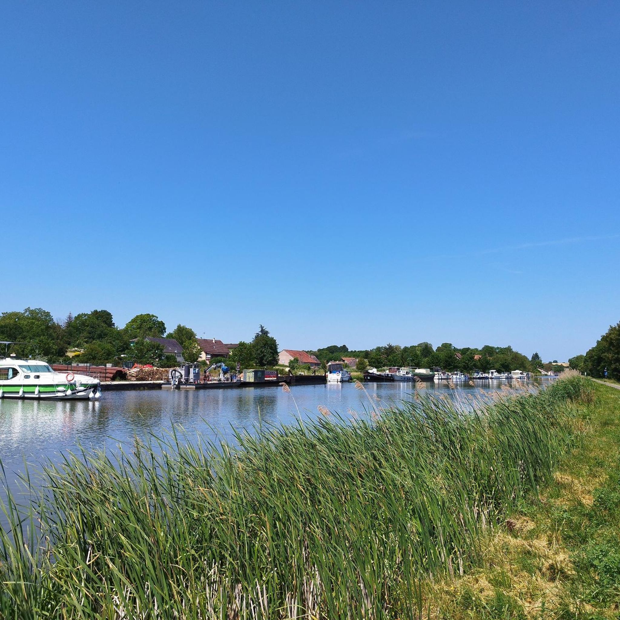
Here the canal was led across a river by means of a bridge
0
0
You encounter the Maginot Line's bunkers along the entire route to Basel. All bunkers are oriented to the east and were intended to be a defensive line against the Germans.
0
0

Coffee, cold drinks and cakes of the best quality. Friendly service to boot - heart, what more could you want
0
0

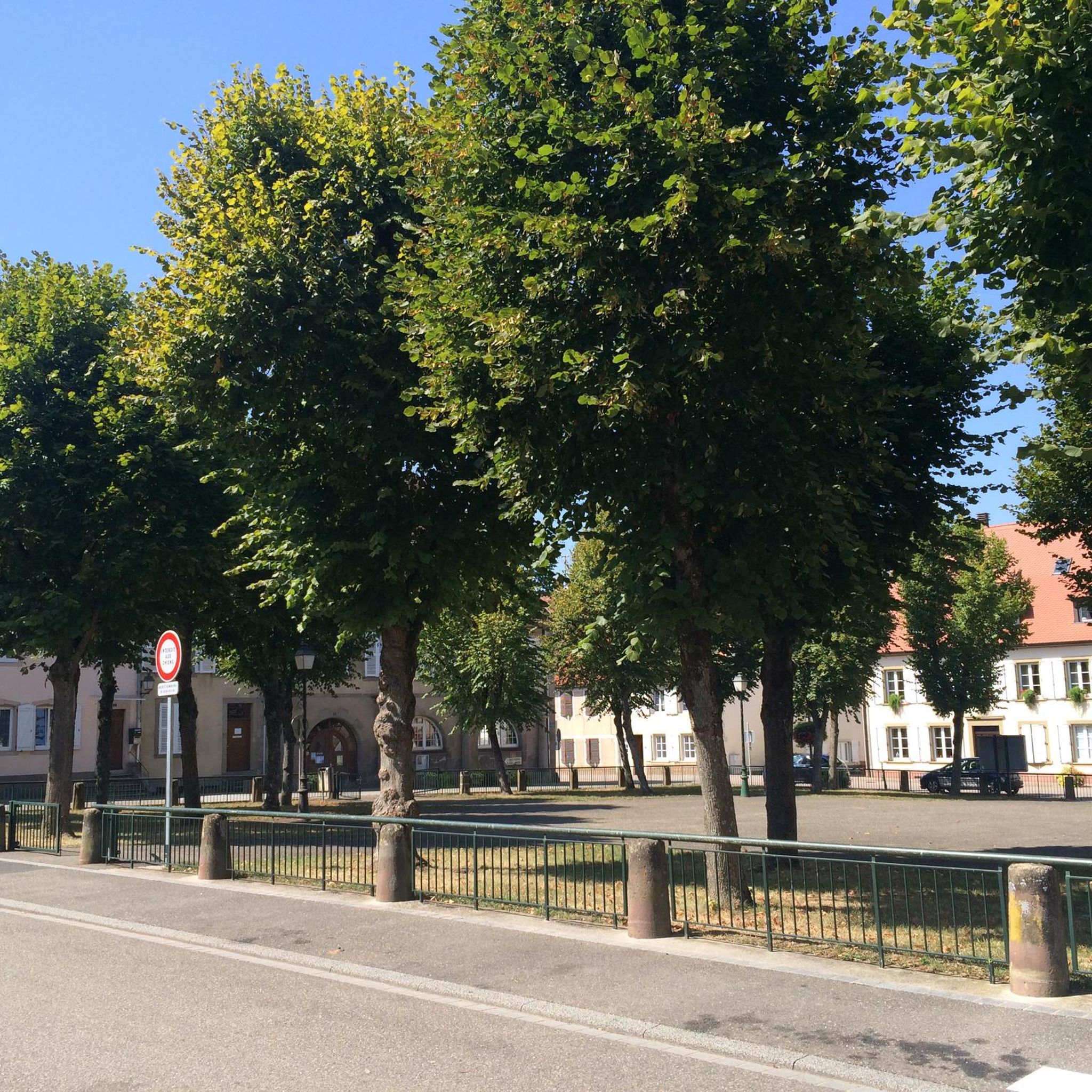
Beautiful town in northern Alsace, which invites you to a café and a croissant on every road bike tour
0
0

A secluded pond in the forest, located on the beautiful forest road from Eschbourg to Frohmuhl. There's only one educational facility here, but otherwise no infrastructure, just plenty of idyllic forest scenery.
0
0

At this spot, in the forest northeast of Lviv, the trees give way slightly, creating a clearing where, at an altitude of 420 meters, stands the small sacred monument known as the "Croix Saint-Hubert." A low stone wall and a wooden fence create a small "sacred precinct," at the center of which is the well-preserved cross. At the very bottom of the lower section is the well-known scene from the Life of Hubertus, featuring a stag with a cross between its antlers. Above it, at the very bottom, are reliefs of two figures, the one on the left identified as a monk with his tonsure and habit; between the two images, the year 1786. Above this, rises the actual cross, which also bears the body of the crucified Christ.
2
0

The Maginot Line: The French Wall | ARTE https://youtu.be/Bvtxa08ysgc For those who want to know more about the Maginot Line: de.wikipedia.org/wiki/Liste_der_Ouvrages_der_Maginot-Linie
1
0

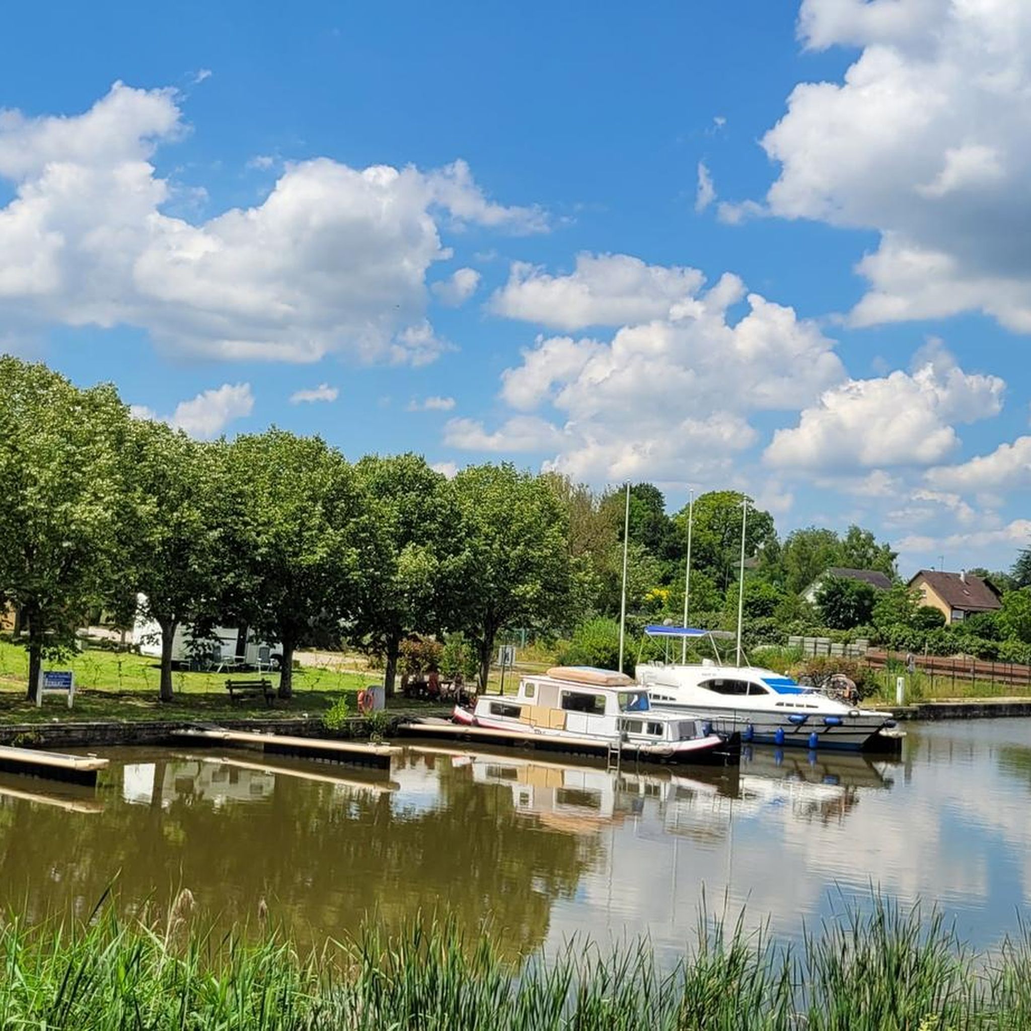
The cycle path runs along the Sarralbe river stop. There are picnic tables for a break.
0
0
Frequently Asked Questions
How many mountain bike trails are available in the Saarunion region?
The Saarunion region offers a wide selection of mountain bike trails, with over 80 routes documented on komoot. These include 24 easy, 53 moderate, and 9 difficult trails, catering to various skill levels and preferences.
Are there mountain bike trails suitable for beginners or families in Saarunion?
Yes, the Saarunion region has numerous options for beginners and families. There are 24 easy trails, often following river valleys or less challenging forest paths. The tri-border region near Perl, for instance, offers family-friendly routes and even pumptracks for children. An example of an easy route is the Sarralbe River Stop – Sarralbe Town Centre loop from Sarralbe, which is 17.7 miles (28.5 km) long.
What kind of terrain can I expect on mountain bike trails in Saarunion?
The Saarunion region, encompassing Saarland and Lorraine, offers a diverse range of terrain. You'll find dense forests, rolling hills, and scenic river valleys. Riders can expect a mix of forest paths, challenging singletracks, and purpose-built flowtrails. Former mining areas have also been repurposed into unique trails, and in areas like St. Ingbert, sandstone soil ensures trails dry quickly, even after rain.
Are there any challenging mountain bike trails for experienced riders?
Absolutely. For experienced riders seeking a challenge, the Saarunion region provides several demanding options. Saarland features the PUR routes in St. Ingbert, known for their technical skills and endurance requirements, with one recognized as one of Germany's most trail-rich routes. The 'Grüne Hölle' (Green Hell) in Freisen also offers demanding tours. You can find 9 difficult trails in the region, such as the Cascade – Heidenkirch loop from Diemeringen, which includes significant elevation gain.
What do other mountain bikers enjoy most about mountain biking in Saarunion?
The mountain bike trails in Saarunion are highly rated by the komoot community, with an average score of 4.5 stars from over 100 reviews. Riders frequently praise the diverse landscapes, from tranquil river valleys to challenging forest sections, and the variety of trails suitable for all skill levels. The well-maintained paths and scenic views are also often highlighted.
Are there any circular mountain bike routes in the Saarunion region?
Yes, many of the mountain bike trails in Saarunion are designed as circular routes, allowing you to start and finish at the same point. An example is the Kirschberg Church – Sarrewerden village loop from Sarralbe, a moderate 40.4 km (25.1 miles) route that takes approximately 2 hours 45 minutes to complete.
What are some interesting landmarks or attractions I can see along the mountain bike trails?
While exploring the mountain bike trails, you can encounter various interesting landmarks. For example, the Sarralbe River Stop – Sarralbe Town Centre loop from Sarralbe passes through the Sarralbe Town Centre. Other routes might lead you past historical sites like Saint-Martin Church or along scenic waterways such as the Canal des Houillères de la Sarre. For those interested in history, there are also several castles nearby, including Fénétrange Castle and Château de Lorentzen.
What is the best time of year for mountain biking in Saarunion?
The Saarunion region is generally suitable for mountain biking from spring through autumn. Spring offers lush greenery, while autumn provides vibrant foliage. The sandstone soil in areas like St. Ingbert dries quickly, making it suitable even after rain, which can extend the riding season. While some trails may be accessible in winter, conditions can be challenging due to snow or ice, so checking local weather is always recommended.
Are there specific flowtrails or bike parks in the Saarunion region?
Yes, the region caters to riders looking for flowtrails and bike park experiences. In Saarland, the Flowtrail Ottweiler offers an approximately 1.2 km long downhill track, extending to 4.4 km as a circular route, with various obstacles and jumps suitable for all levels. In Lorraine, the Parc naturel régional de Lorraine provides options like Nancy Bike Park and Vesoul Bike Park, featuring jumps, ramps, obstacles, and downhill tracks.
Are dogs allowed on the mountain bike trails in Saarunion?
Many trails in the Saarunion region are dog-friendly, especially those through forests and rural areas. However, it's always advisable to keep your dog on a leash, particularly in nature reserves or areas with livestock, and to check specific local regulations for any restrictions. Please ensure you clean up after your pet to maintain the natural environment for everyone.
Where can I find parking or public transport options near the mountain bike trails?
Parking is generally available at trailheads and in nearby towns throughout the Saarunion region. For specific routes, it's best to check the individual tour details on komoot for recommended starting points and parking facilities. Public transport options vary by location, with some larger towns offering bus or train connections that might get you close to certain trail networks. Planning your journey in advance is recommended.
Are there any cafes or places to eat near the mountain bike trails?
Yes, many towns and villages throughout the Saarunion region, both in Saarland and Lorraine, offer cafes, restaurants, and pubs where you can refuel. Larger towns like Sarralbe, for example, have amenities in their town centers. For specific routes, checking the map for nearby settlements or points of interest can help you plan refreshment stops.
Most popular routes around Saarunion
Most popular attractions around Saarunion

Get inspired with the komoot mobile app


Explore more
Browse the best MTB trails in other regions.
