The best running trails around Villiers-Les-Hauts
256
runners
44
runs
Jogging around Villiers-les-Hauts offers access to diverse natural landscapes within the Yonne department of Burgundy-Franche-Comté. The region features the substantial Forêt communale de Villiers-les-Hauts, providing shaded paths and natural terrain. Runners can also find routes through open fields and along riverbanks and canals, characteristic of the broader Yonne area. These varied terrains offer options for different running preferences, from flat, scenic paths to routes with some elevation changes.
Best jogging routes around Villiers-les-Hauts
- The most popular jogging route is Ancy-le-Franc…
Last updated: July 4, 2026
16
runners
8.86km
00:55
20m
20m
Moderate run. Good fitness required. Mostly paved surfaces. Suitable for all skill levels.
8
runners
10.2km
01:07
30m
30m
Moderate run. Good fitness required. Mostly paved surfaces. Suitable for all skill levels.

Sign up for free
9
runners
10.4km
01:10
120m
120m
Moderate run. Good fitness required. Mostly paved surfaces. Suitable for all skill levels.
8
runners
10.7km
01:08
50m
50m
Moderate run. Good fitness required. Mostly paved surfaces. Suitable for all skill levels.
7
runners
5.61km
00:38
50m
50m
Moderate run. Good fitness required. Mostly paved surfaces. Suitable for all skill levels.
Get access to more routes and recommendations from other explorers.
Sign up for free
Already have an account?
Our route recommendations are based on thousands of hikes, rides, and runs completed by other people on komoot.
Start today with a free account
Your next adventure awaits.
Login or Signup

Tips from the Community

Very nice little bistro right on the canal path, with accommodation option
0
0

Worth a visit, very beautiful inside and well preserved.
0
0

Very beautiful medieval bridge to Cry. There are also beautiful buildings to see in Cry itself.
1
1
Very nice lock, like the ones you see often along the way.
1
0

in August 2023, the washhouse was open. it was therefore possible to visit it. very pretty.
0
0

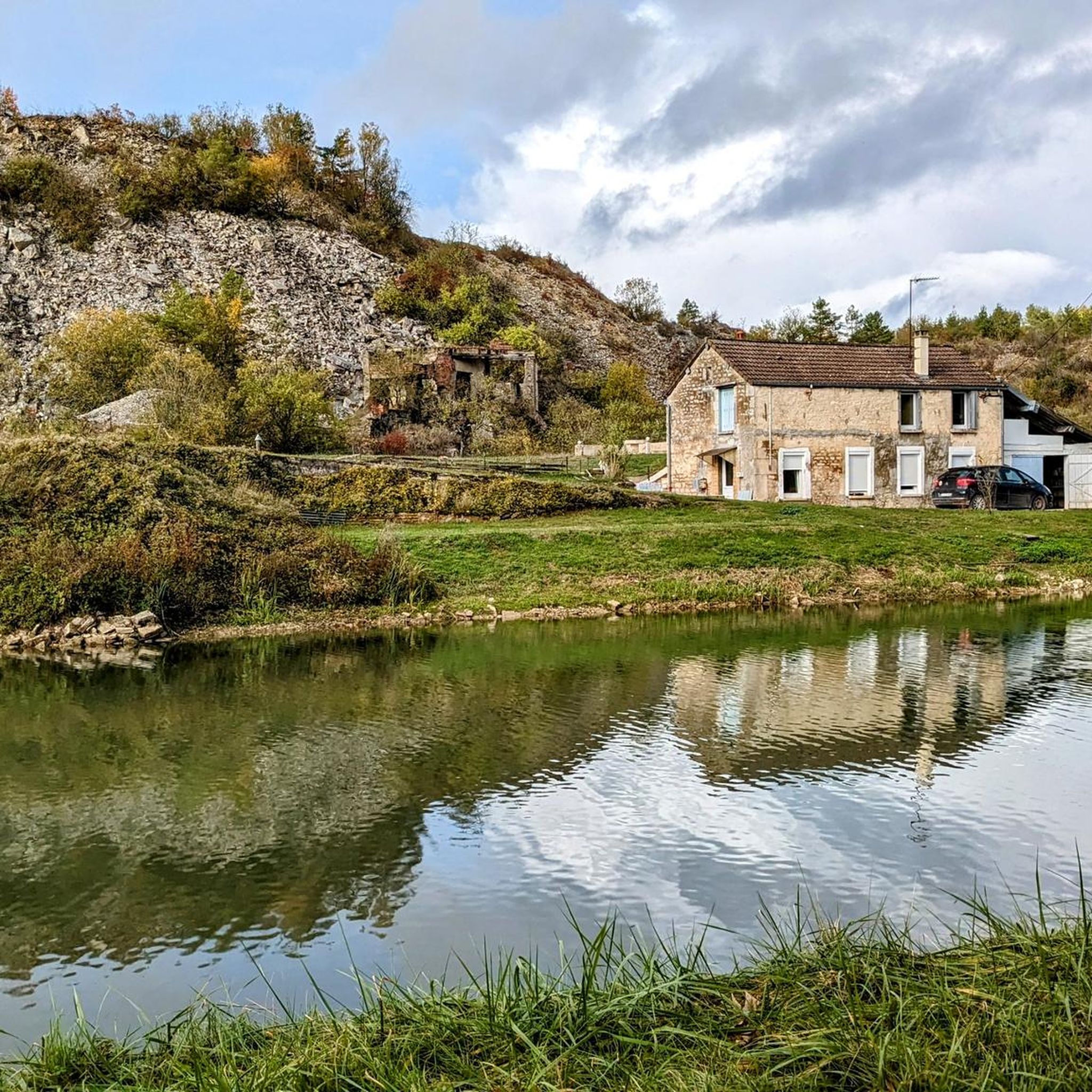
Very nice stopover to spend the night during a bike ride along the Burgundy Canal. You can pitch your tent in the garden of the lock house.
0
0

Nice place on the canal with possibility to stay and eat well. 👍
0
0

The Bistrot du Canal is a very nice little place to eat! Right next to it is an old wash house, the interior of which is visible through a grid.
0
0
Frequently Asked Questions
What kind of terrain can I expect on running routes around Villiers-les-Hauts?
The Villiers-les-Hauts area offers a diverse mix of terrain for runners. You'll find routes through the substantial Forêt communale de Villiers-les-Hauts, providing shaded trails, as well as paths through open fields. Many routes also follow riverbanks and canals, offering flatter, scenic options. The region's natural undulations, with altitudes ranging from 177 to 306 meters, mean you can find both gentle paths and routes with more significant elevation changes for a varied workout.
Are there many running routes available in Villiers-les-Hauts?
Yes, there are plenty of options for runners. The komoot community has mapped out 39 running routes in and around Villiers-les-Hauts, catering to various preferences and fitness levels.
What are some popular running trails that offer scenic views or unique features?
Many routes showcase the region's beauty. For canal views, consider the Ancy-le-Franc lock loop from Fulvy. If you prefer waterways and rural landscapes, the Port de Ravières Rest Area – Old Bridge at Cry loop from Ravières is a great choice. For varied terrain with some elevation gain, the Moulin d'Arlot – Larry Blanc loop from Nuits sous Ravières is a local favorite.
Are there any easy running routes suitable for beginners or a relaxed jog?
Yes, the area offers 4 easy running routes perfect for beginners or those looking for a more relaxed pace. These routes typically feature less elevation and gentler paths, often found along the tranquil riverbanks and canals.
Can I find circular running routes in the Villiers-les-Hauts area?
Absolutely. Many of the running paths around Villiers-les-Hauts are designed as loops, allowing you to start and finish at the same point. Examples include the Ancy-le-Franc Castle – Ancy-le-Franc lock loop from Chassignelles and the Running loop from Étivey, which offer convenient circular options.
What do other runners say about the trails in Villiers-les-Hauts?
The running routes in Villiers-les-Hauts are well-regarded by the komoot community, holding an average rating of 4.0 stars. Runners often praise the diverse natural landscapes, from quiet woodlands to open fields and scenic canal paths, which provide an engaging and varied experience.
Are there any interesting landmarks or attractions I can see while jogging?
Yes, some routes pass by or are near notable points of interest. For example, you might encounter the impressive Ancy-le-Franc Castle or the historic Buffon's Big Forge. The charming settlement of Noyers-sur-Serein is also nearby, offering a glimpse into local heritage.
What are the typical distances and durations for running routes in this region?
Running routes in the Villiers-les-Hauts area vary in length. You'll find options ranging from shorter jogs, like the 5.6 km Running loop from Étivey which takes about 40 minutes, to longer runs such as the 10.4 km Moulin d'Arlot – Larry Blanc loop from Nuits sous Ravières, typically completed in about 1 hour 10 minutes.
Is the area suitable for trail running, or are the paths mostly paved?
Villiers-les-Hauts is excellent for trail running. The landscape is characterized by natural paths through wooded areas like the Wood of the Champ Ragot and the Wood of the Rabot, as well as rural tracks through fields. While some sections might include small country roads, the emphasis is on natural, unpaved surfaces, offering an authentic trail running experience.
What is the best time of year to go jogging in Villiers-les-Hauts?
The varied landscape of Villiers-les-Hauts makes it enjoyable for jogging across multiple seasons. Spring and autumn offer pleasant temperatures and beautiful scenery with changing foliage. Summer provides shaded routes through the forests, while winter can offer crisp, quiet runs, though some paths might be muddy or require appropriate footwear.
Most popular routes around Villiers-Les-Hauts
Most popular attractions around Villiers-Les-Hauts

Get inspired with the komoot mobile app


Explore more
Browse the best Running Trails & Routes in other regions.
