The best running trails around Meyrueis
4.4
(16)
1,655
runners
21
runs
Jogging around Meyrueis traverses a diverse landscape characterized by dramatic gorges, expansive limestone plateaus, and forested foothills. The region is situated at the confluence of several rivers, offering riverside paths, while higher elevations provide panoramic views over the Cévennes. This varied terrain includes the deep Gorges de la Jonte and the vast Causse Méjean, a UNESCO World Heritage site.
Best jogging routes around Meyrueis
- The most popular jogging route is Pauparelle Trail, a 6.9 miles (11.1 km) trail that…
Last updated: August 17, 2026
4.5
(2)
47
runners
11.1km
01:38
420m
420m
The difficult Pauparelle Trail offers experienced joggers 6.9 miles (11.1 km) of panoramic views over the Gorges de la Jonte and Causse Méje
5.0
(3)
33
runners
6.51km
00:47
150m
150m
Moderate run. Good fitness required. Mostly paved surfaces. Suitable for all skill levels.

Sign up for free
17
runners
10.4km
01:19
260m
260m
Moderate run. Good fitness required. Mostly paved surfaces. Suitable for all skill levels.
13
runners
10.4km
01:23
340m
340m
Hard run. Very good fitness required. Mostly paved surfaces. Suitable for all skill levels.
3.0
(1)
7
runners
10.7km
01:28
410m
410m
Hard run. Very good fitness required. Mostly paved surfaces. Suitable for all skill levels.
Get access to more routes and recommendations from other explorers.
Sign up for free
Already have an account?
Our route recommendations are based on thousands of hikes, rides, and runs completed by other people on komoot.
Start today with a free account
Your next adventure awaits.
Login or Signup
Popular around Meyrueis
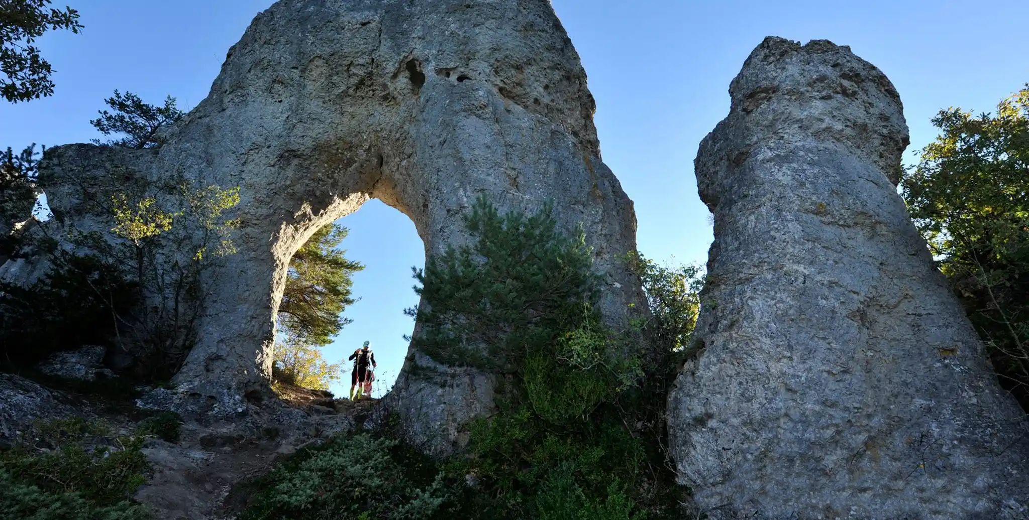
Meyrueis to La Roque-Sainte-Marguerite – GR 62A in France
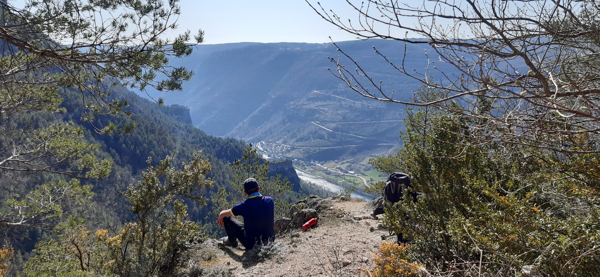
Walking to the rhythm of the Causses — The GRP Tour du Causse Méjean
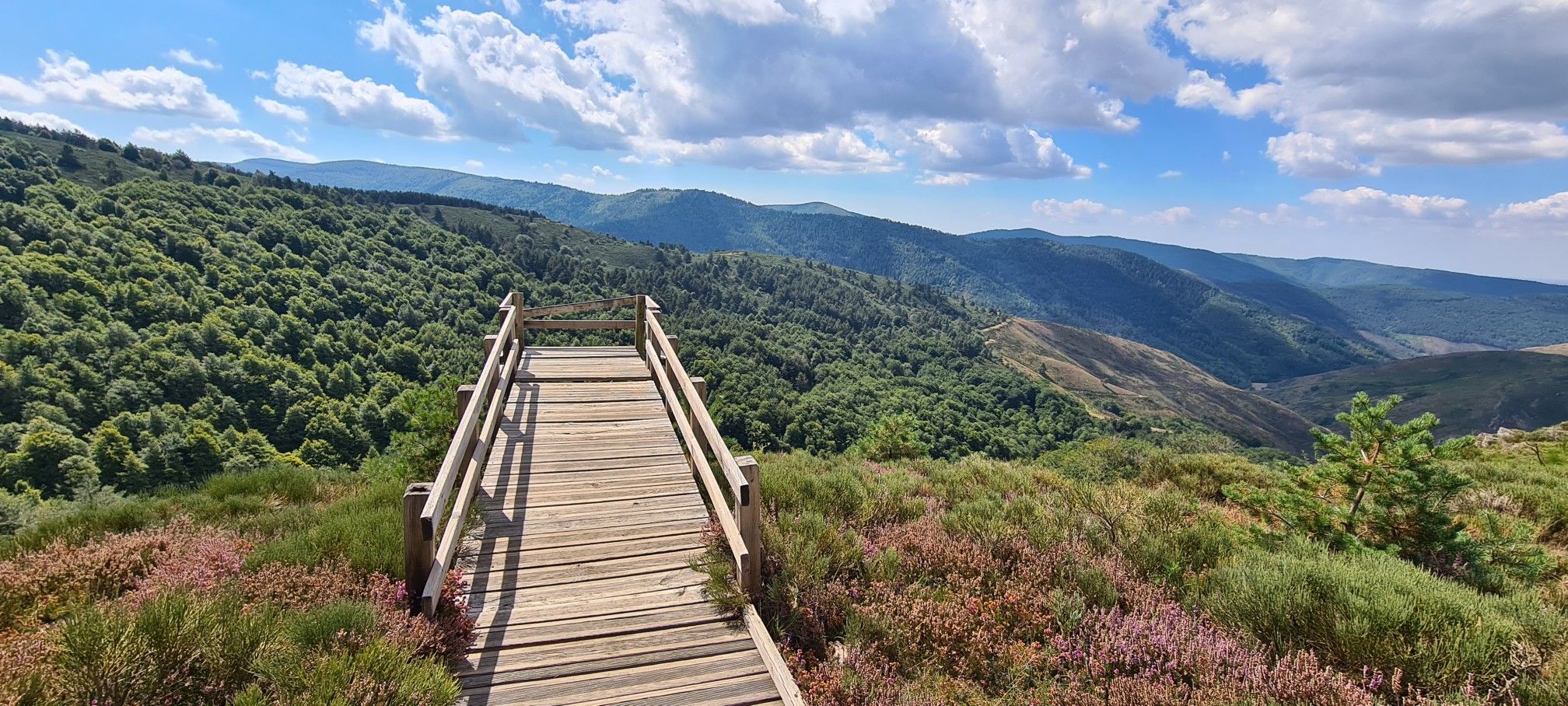
Hike and wild camp in the Cevennes — a Tour of Mount Aigoual (GR 66)
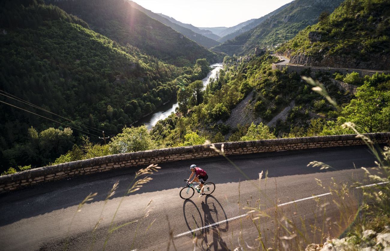
Lonely Cevennes: The beautiful south of France
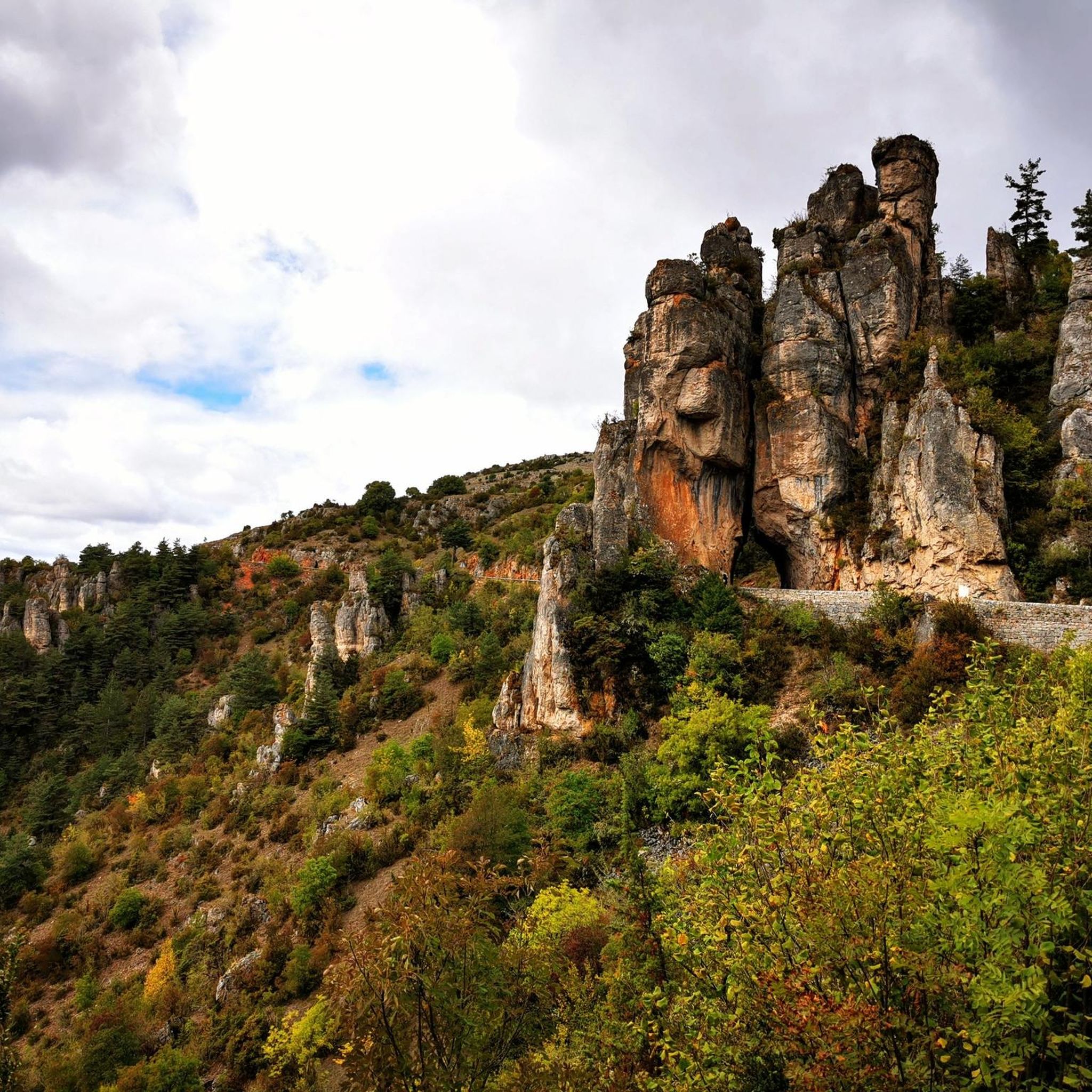
Road Cycling Routes around Meyrueis
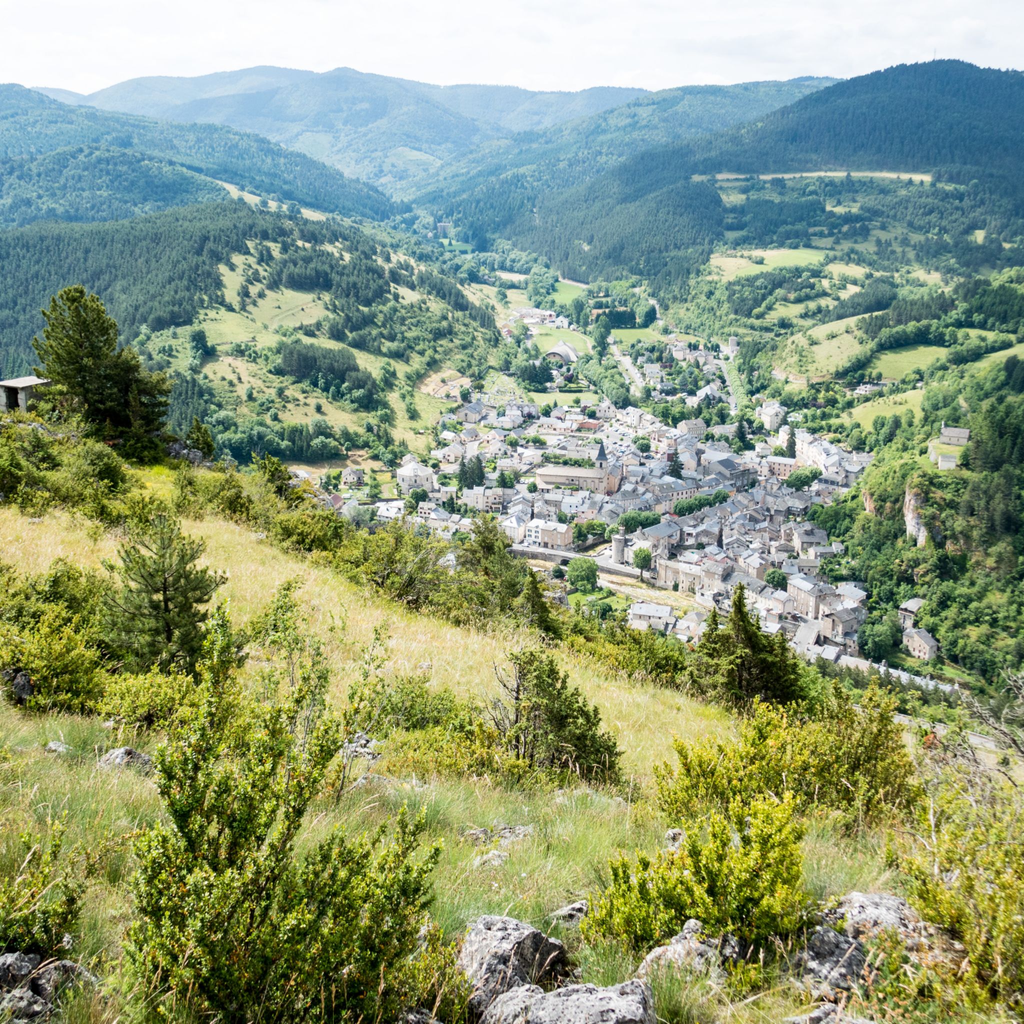
Hiking around Meyrueis
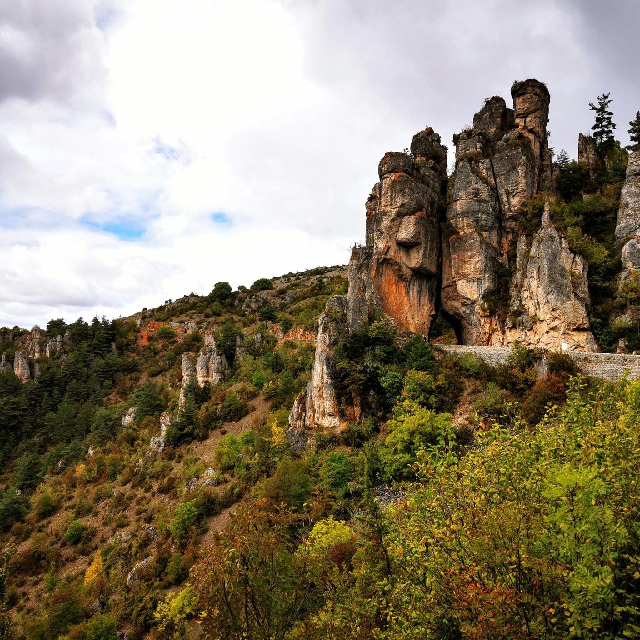
Cycling around Meyrueis
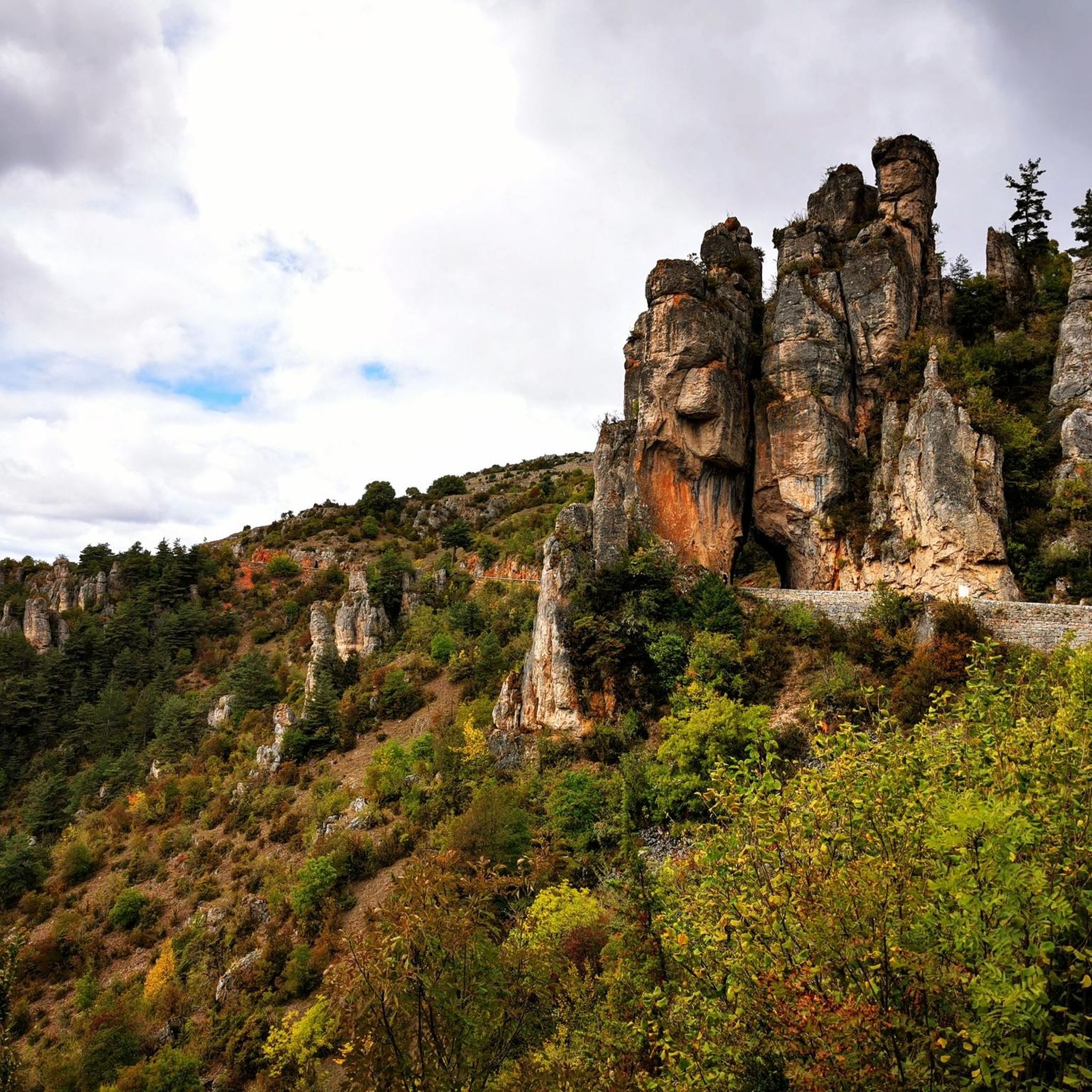
MTB Trails around Meyrueis

Gravel biking around Meyrueis
Other adventures around Meyrueis


Tips from the Community


small village nestled at the entrance to the Jonte gorges, incredible possibilities for road, gravel and mountain bike circuits.
0
1

Meyruies is a picturesque historic village at the foot of Mont Aigoual and the gateway between the regions of the Cévennes and the Causses. Arrive on the last Sunday of September for a huge market celebrating local produce, grab a coffee in a local café or climb the steps of the Rocher du Chateau for a panoramic view of the village.
1
0

Meyrueis is a pretty village at the confluence of the Jonte, the Béthuzon and the Brèze, which would certainly be the origin of its name "mixture of watercourses" in Occitan (mesclar=mix & rius=course of water).
0
0
Pauparelle, on the heights of Meyrueis, offers magnificent views of the Jonte gorges and Meyrueis.
0
0

Nice lookout point with stone bridge. And water. You also loot to the village again. Path where you can also take a walk with donkeys.
0
0
Nice stone bridge near the village.
1
0
Frequently Asked Questions
How many running routes are available around Meyrueis?
Meyrueis offers a good selection of running routes, with over 20 trails available for you to explore. These routes cater to various fitness levels, from moderate riverside paths to more challenging trails with significant elevation.
What kind of terrain can I expect on running trails in Meyrueis?
The running trails in Meyrueis traverse a highly diverse landscape. You can expect dramatic gorges like the Gorges de la Jonte, expansive limestone plateaus such as the Causse Méjean, and forested foothills leading towards Mont Aigoual. Many routes also follow the Jonte, Béthuzon, and Brèze rivers, offering pleasant riverside paths.
Are there running routes suitable for beginners or more experienced runners?
Yes, Meyrueis provides options for all abilities. While there are no routes classified as 'easy', you'll find 14 moderate routes perfect for those looking for a good workout without extreme challenges, and 8 difficult routes for experienced runners seeking significant elevation gain and more demanding terrain.
Are there any circular running routes in Meyrueis?
Absolutely. Many of the running paths around Meyrueis are circular, allowing you to start and finish in the same location. For example, the Clock Tower – Meyrueis Stone Bridge loop from Meyrueis is a moderate 4.0-mile (6.5 km) path that offers a scenic loop around the town and along the river. Another option is the Meyrueis and the Jonte River – La Jonte loop from Meyrueis, a 6.1-mile (9.8 km) trail through river valleys.
Can I find running routes with significant elevation gain for a challenge?
Yes, if you're looking for a challenging run with considerable elevation gain, Meyrueis has options. The Pauparelle Trail is a difficult 6.9-mile (11.1 km) route featuring significant elevation gain through varied terrain, perfect for experienced runners.
What natural features or landmarks can I see while jogging in Meyrueis?
While jogging in Meyrueis, you can encounter stunning natural features and landmarks. The region is known for its dramatic gorges, such as the Gorges de la Jonte, and vast limestone plateaus like the Causse Méjean. You might also spot viewpoints offering panoramic views, like the View of the Gorges du Tarn from Roc des Hourtous, or even catch glimpses of the foothills of Mont Aigoual.
Are there any running paths along rivers or waterways?
Yes, Meyrueis is situated at the confluence of the Jonte, Béthuzon, and Brèze rivers, providing numerous opportunities for riverside runs. The Meyrueis and the Jonte River – La Jonte loop from Meyrueis is a great example, leading you through river valleys and local landscapes.
What do other runners enjoy the most about jogging in Meyrueis?
The running routes in Meyrueis are highly rated by the komoot community, with an average score of 4.2 stars from more than 10 reviews. Runners often praise the diverse terrain, from dramatic gorges to peaceful river valleys, and the variety of options available for different ability levels. The scenic beauty and well-maintained paths are frequently highlighted.
Are there any routes that pass by historical sites or villages?
Yes, some routes offer a blend of natural beauty and local charm. The Roquedols Castle – Meyrueis village loop from Meyrueis is a difficult 10.4-kilometer route that takes you past historical elements like Roquedols Castle and through the charming village surroundings.
What is the best time of year for running in Meyrueis?
Meyrueis is generally pleasant for running from spring through autumn. The summer months offer warm weather, ideal for early morning or late afternoon runs. Spring and autumn provide cooler temperatures and vibrant scenery, making them excellent choices for exploring the diverse landscapes of gorges, plateaus, and forests.
Can I find routes that offer panoramic views?
Absolutely. The region around Meyrueis, particularly towards the higher elevations and plateaus, offers breathtaking panoramic views. Trails in the foothills of Mont Aigoual and on the Causse Méjean often reward runners with expansive vistas over the Cévennes and the dramatic gorges.
Are there any less crowded running routes in Meyrueis?
While popular routes like the Pauparelle Trail are well-loved, the extensive network of trails, including those extending into the Gorges de la Jonte and across the Causse Méjean, means you can often find quieter paths, especially during off-peak hours or by exploring some of the less-trafficked moderate and difficult routes.
Most popular attractions around Meyrueis

Get inspired with the komoot mobile app


Explore more
Browse the best Running Trails & Routes in other regions.
