The best walks and hikes around Marvejols
4.5
(77)
503
hikers
62
hikes
Hiking around Marvejols offers access to a diverse geographic setting where the natural regions of Margeride, Aubrac, and the Grands Causses converge. This area features varied terrain, including mountainous landscapes, expansive plateaus, and dramatic gorges. The Lozère department, where Marvejols is located, is characterized by preserved landscapes with significant elevation changes and river valleys. The region provides a wide array of hiking experiences for different skill levels.
Best hiking trails around Marvejols
- The most popular hiking route is Porte du Soubeyran loop from Marvejols, an easy 4.2 miles (6.7 km) trail that takes 1 hour 56 minutes to complete. This loop explores the surroundings of the historic town.
- Another top favourite among local hikers is Plateau de St Bonnet de Chirac loop from Saint-Bonnet-de-Chirac, a moderate 5.5 miles (8.8 km) path. This route offers views across the plateau landscape.
- Local hikers also love the Hiking loop from Viaduc de la Crueize, a 4.2 miles (6.7 km) trail leading through varied terrain, often completed in about 2 hours 20 minutes.
- Hiking around Marvejols is defined by the confluence of the Margeride, Aubrac, and Grands Causses regions, featuring plateaus, river valleys, and gorges. The network offers options for different ability levels, from easy walks to more challenging routes.
- The routes in Marvejols are highly rated by the komoot community with an average score of 4.5 stars from over 60 reviews. More than 400 hikers have used komoot to explore Marvejols's varied terrain.
Last updated: June 25, 2026
4.7
(3)
14
hikers
6.74km
01:56
170m
170m
Easy hike. Great for any fitness level. Easily-accessible paths. Suitable for all skill levels.
14
hikers
8.82km
02:38
270m
270m
Moderate hike. Good fitness required. Easily-accessible paths. Suitable for all skill levels.

Sign up for free
5.0
(1)
8
hikers
7.30km
02:07
180m
170m
Moderate hike. Good fitness required. Easily-accessible paths. Suitable for all skill levels.
4.0
(2)
6
hikers
11.5km
03:52
580m
570m
Moderate hike. Good fitness required. Easily-accessible paths. Suitable for all skill levels.
3
hikers
8.98km
02:31
180m
180m
Moderate hike. Good fitness required. Easily-accessible paths. Suitable for all skill levels.
Get access to more routes and recommendations from other explorers.
Sign up for free
Already have an account?
Our route recommendations are based on thousands of hikes, rides, and runs completed by other people on komoot.
Start today with a free account
Your next adventure awaits.
Login or Signup
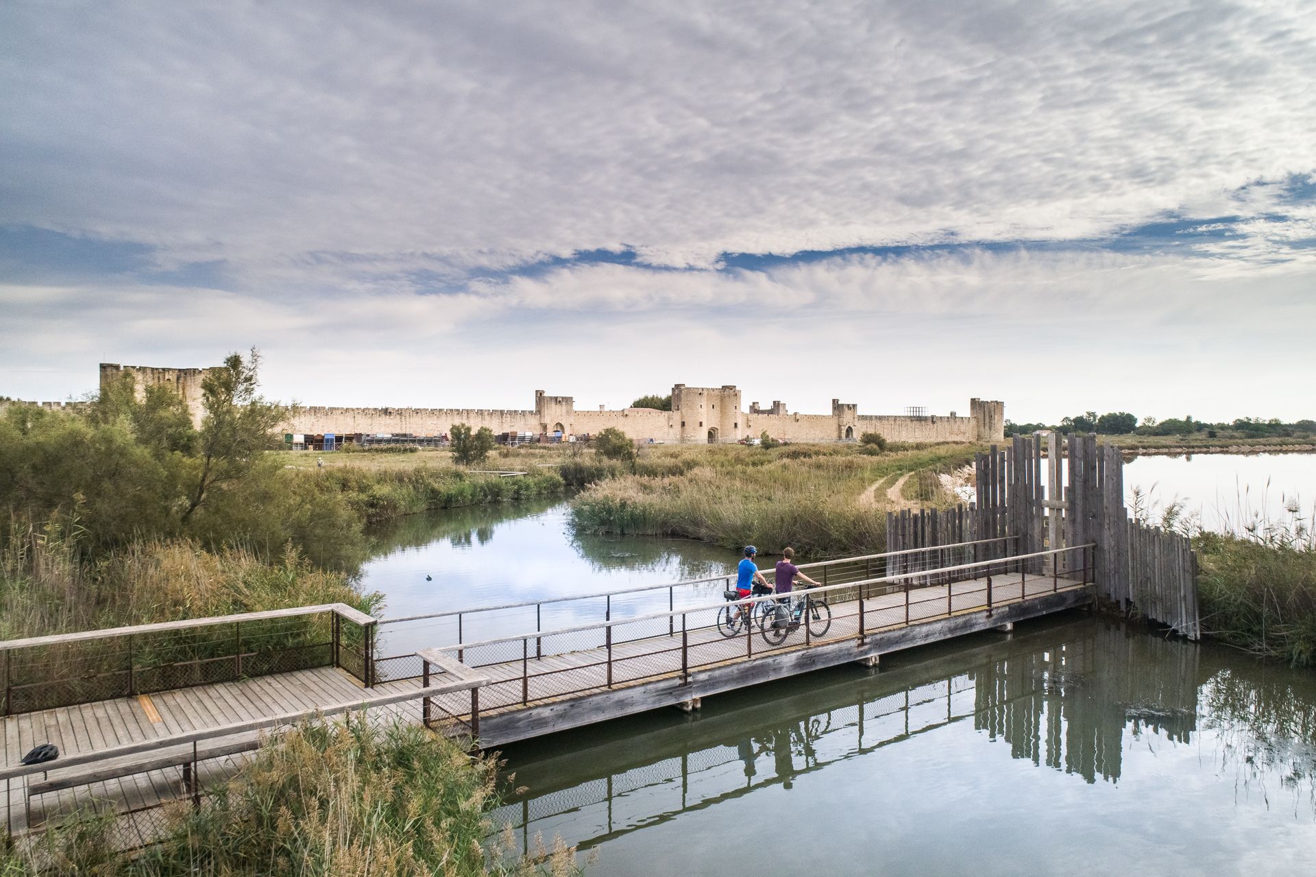
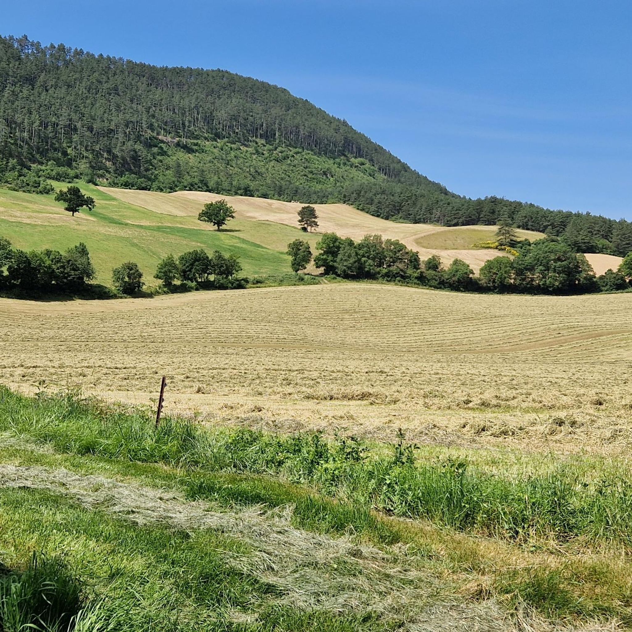
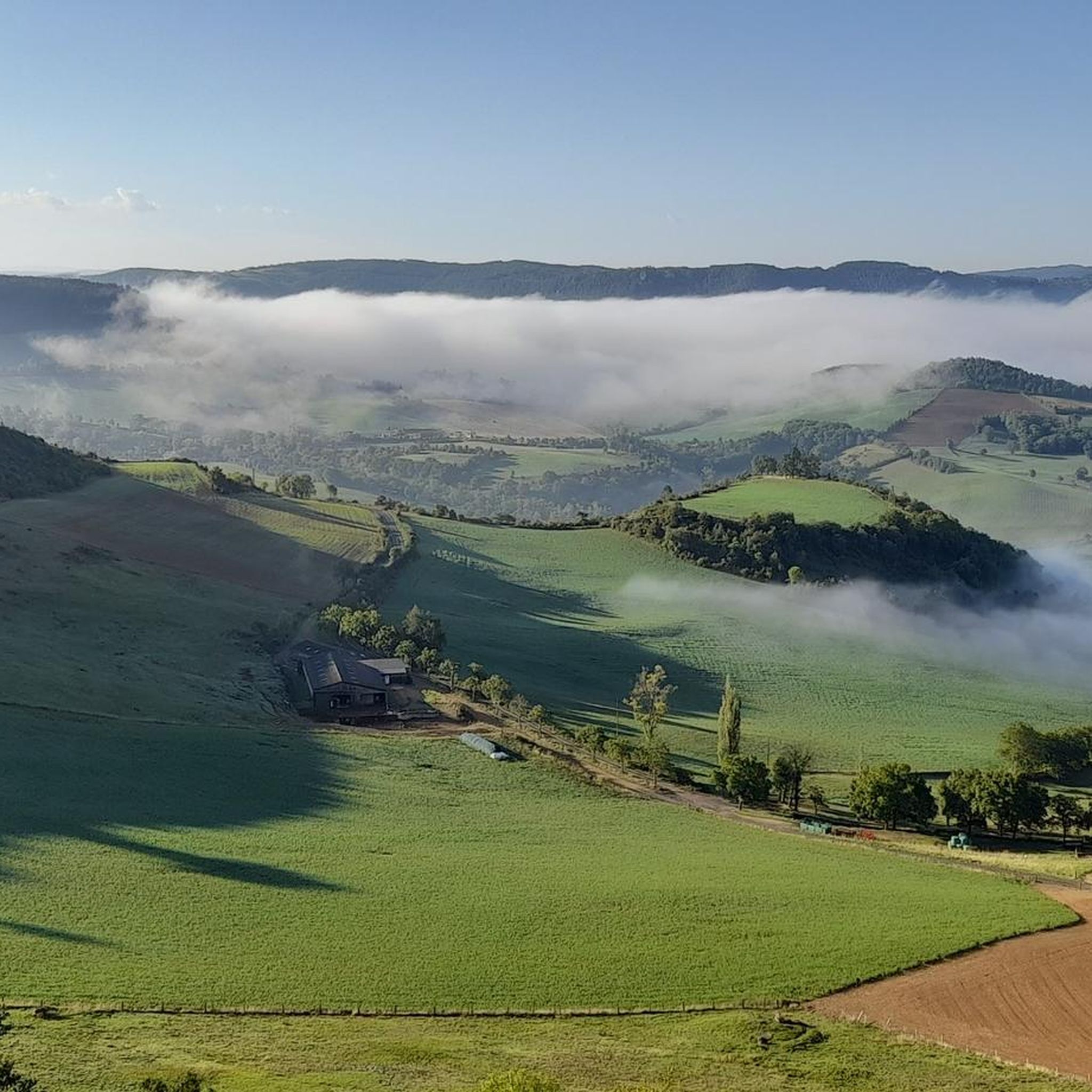
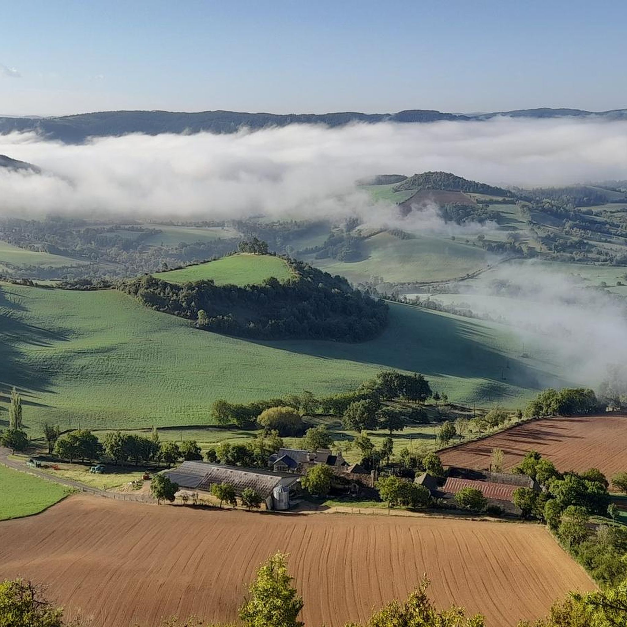


Other adventures around Marvejols

Tips from the Community

Magnificent city gate very well preserved. Its counterpart, Porte de Chanelles, is opposite Marvejols, at the other end of Rue de la République.
1
0

Marvejols is a medieval city that illustrates Occitan culture. It was a fortified city which was reinforced during the Hundred Years War against the English.
1
0
Frequently Asked Questions
How many hiking trails are available around Marvejols?
Marvejols and its surroundings offer a wide network of trails, with over 50 hiking routes recorded on komoot. This includes a good mix of difficulties, with 24 easy routes, 33 moderate routes, and 1 more challenging option, ensuring there's something for every hiker.
What kind of landscapes will I encounter on hikes near Marvejols?
Hiking around Marvejols provides access to a remarkably diverse landscape. You'll find yourself at the crossroads of three distinct natural regions: the mountainous Margeride, the wild plateaus of Aubrac, and the dramatic limestone formations of the Grands Causses. This means you can expect varied terrain, from river valleys and expansive plateaus to deep gorges like the Gorges du Tarn and the Gorges de l'Enfer.
Are there any family-friendly hiking options in the Marvejols area?
Yes, Marvejols offers several easy trails suitable for families. For instance, the Porte du Soubeyran loop from Marvejols is an easy 6.7 km route that explores the historic town's surroundings, perfect for a leisurely family outing. The area's diverse terrain ensures there are gentle paths for all ages.
Can I bring my dog on the hiking trails around Marvejols?
Many trails in the Marvejols region are suitable for dogs, provided they are kept under control, especially in areas with livestock or wildlife. It's always a good idea to check specific trail regulations before you go. The natural environment, with its varied landscapes and open spaces, is generally welcoming for canine companions.
Are there any circular hiking routes near Marvejols?
Yes, many of the hiking routes around Marvejols are circular, allowing you to start and end at the same point. A popular example is the Plateau de St Bonnet de Chirac loop from Saint-Bonnet-de-Chirac, an 8.8 km moderate path offering scenic views. Another option is the Hiking loop from Viaduc de la Crueize, a 6.7 km trail through varied terrain.
What are some notable landmarks or attractions I can see while hiking?
The Marvejols area is rich in natural and historical attractions. You can hike past the historic Porte du Soubeyran in Marvejols itself. Further afield, you might encounter the stunning Pic de Mus offering panoramic views, or the dramatic Viaduct of the Gorges de l'Enfer. The region's diverse geography means you'll often find picturesque villages, river valleys, and unique rock formations.
Are there any viewpoints or panoramic spots on the trails?
Absolutely. Given Marvejols' location at the confluence of mountainous and plateau regions, many trails offer excellent viewpoints. The Aubrac region to the northwest, for instance, features the Pic de Mus, which at 1,327m provides panoramic views over Margeride, the Cévennes, and the Cantal mountains. Trails across the Grands Causses also offer expansive vistas over the limestone plateaus.
What is the best time of year to go hiking in Marvejols?
The diverse climate of the Lozère department means hiking is enjoyable across multiple seasons. Spring and autumn offer pleasant temperatures and vibrant natural colors. Summer is ideal for exploring higher altitudes or enjoying water activities at places like Lac du Moulinet. Even winter provides opportunities for activities like cross-country skiing and snowshoeing in areas like the Col de Bonnecombe in Aubrac.
What do other hikers enjoy most about hiking in Marvejols?
The area is highly rated by the komoot community, with an average score of 4.5 stars from over 60 reviews. Hikers often praise the varied terrain, the well-preserved natural landscapes, and the opportunity to explore the confluence of three distinct natural regions. The mix of easy and moderate trails also makes it accessible for a wide range of abilities.
Are there any opportunities for wild swimming or water activities near the hiking trails?
While not directly on every hiking trail, the region offers opportunities for water activities. The Lac du Moulinet, just 14 minutes from Marvejols, is a tranquil oasis perfect for relaxation, paddleboarding, or swimming, and even features an inflatable water park. The Lot valley also provides pleasant walking routes alongside the river.
Is there parking available at trailheads around Marvejols?
Yes, for many popular hiking routes and starting points around Marvejols, you will find designated parking areas. For example, routes starting directly from Marvejols or nearby villages typically have accessible parking. It's advisable to check the specific route details on komoot for information on trailhead access and parking facilities.
Are there any long-distance or more challenging hikes in the area?
While many routes are easy to moderate, the diverse terrain of Marvejols, particularly where the Margeride, Aubrac, and Grands Causses meet, allows for more challenging adventures. Trails like the 'Marvejols-Mende by trail – Trail n°33' offer immersive experiences through causses and forests with significant elevation changes, catering to those seeking longer treks.
Most popular routes around Marvejols
Most popular attractions around Marvejols

Get inspired with the komoot mobile app


Explore more
Browse the best Hikes in other regions.
