The best road cycling routes around Montrodat
4.2
(46)
1,312
riders
98
rides
Road cycling routes around Montrodat traverse a landscape characterized by the Margeride mountains and the nearby Aubrac plateau, offering varied terrain for cyclists. The region features deep river valleys, such as those carved by the Lot and Tarn, alongside rolling hills and elevated passes. Cyclists can expect a mix of ascents and descents, with routes often passing through rural areas and small villages. The geological composition includes granite and schist, contributing to the distinct natural environment.
Best road cycling routes…
Last updated: July 8, 2026
3.0
(4)
51
riders
Moderate road ride. Good fitness required. Mostly well-paved surfaces and easy to ride.
5.0
(1)
51
riders
63.8km
02:48
520m
520m
Moderate road ride. Good fitness required. Some segments of this route may be unpaved and difficult to ride.

Sign up for free
4.0
(1)
36
riders
57.8km
02:58
890m
890m
Moderate road ride. Good fitness required. Mostly well-paved surfaces and easy to ride.
30
riders
114km
05:37
1,650m
1,650m
Hard road ride. Very good fitness required. Some segments of this route may be unpaved and difficult to ride.
5.0
(1)
24
riders
79.6km
03:38
880m
880m
Moderate road ride. Good fitness required. Mostly well-paved surfaces and easy to ride.
Get access to more routes and recommendations from other explorers.
Sign up for free
Already have an account?
Our route recommendations are based on thousands of hikes, rides, and runs completed by other people on komoot.
Start today with a free account
Your next adventure awaits.
Login or Signup
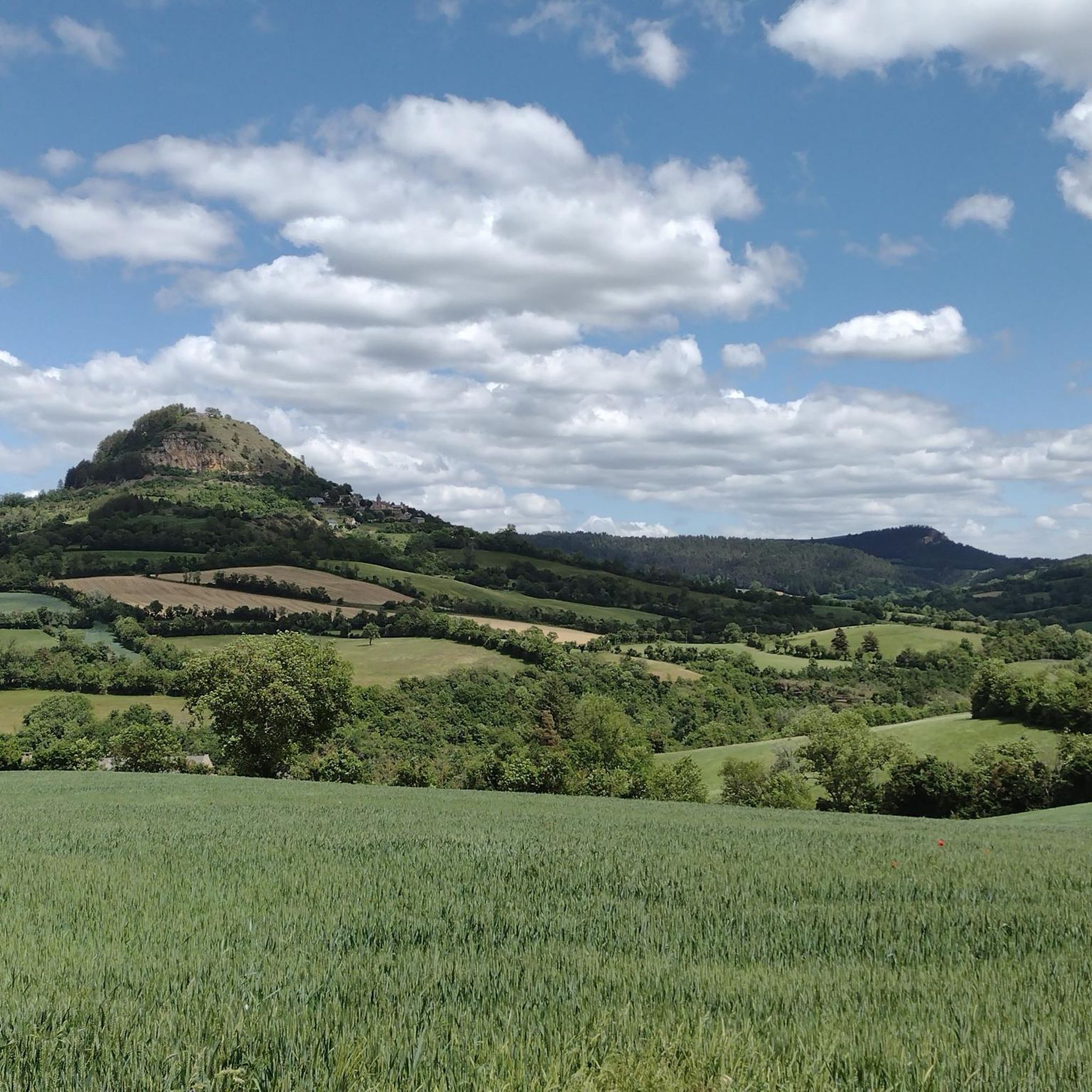
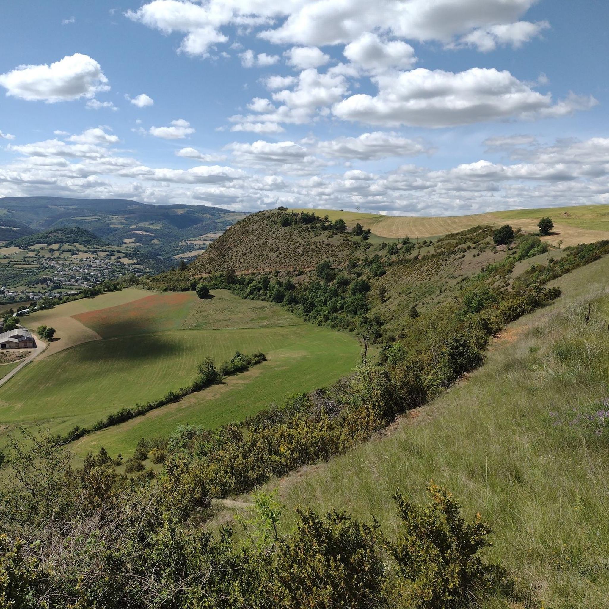
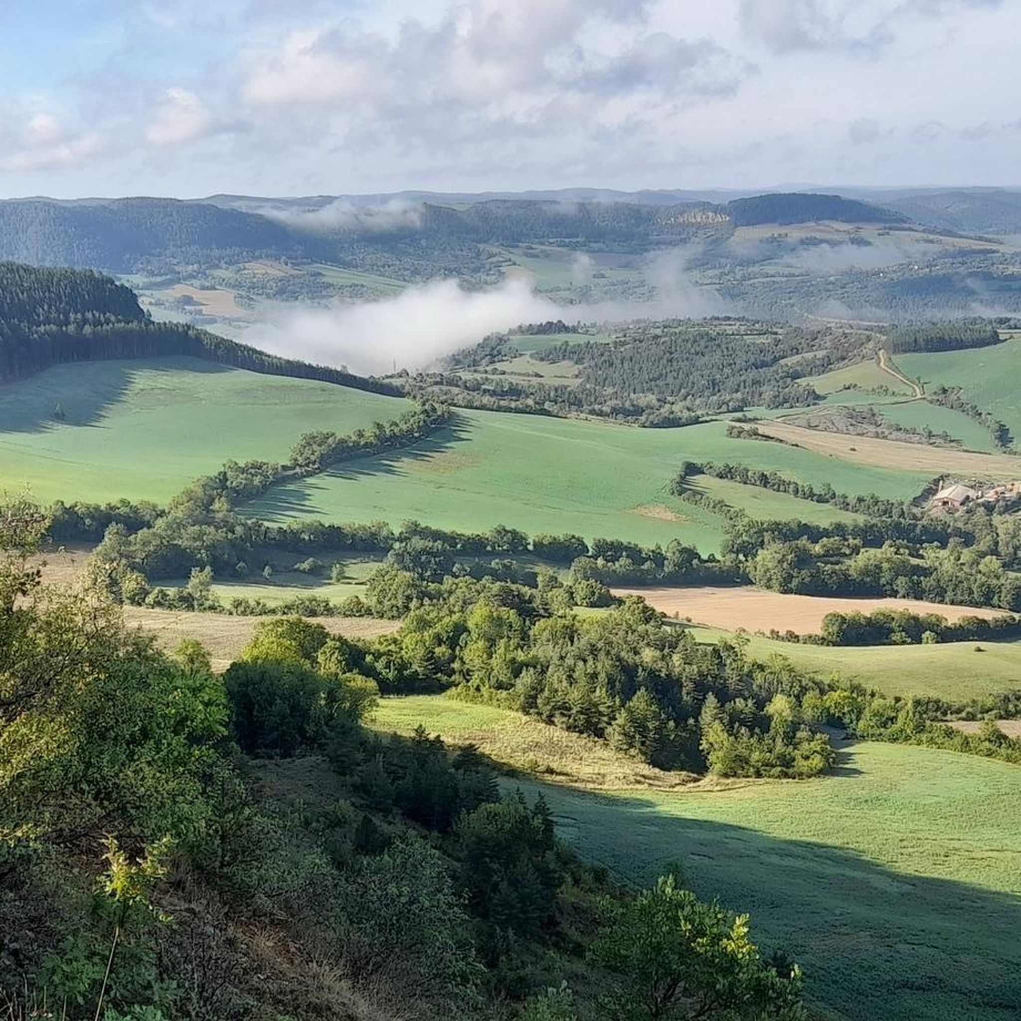


Tips from the Community

9km of climbing, perfect for training sessions of one or 45 minutes
0
0

A very nice surprise in the heart of the Sauveterre plateau. “This medieval building seems totally isolated, even forgotten by time and men. But it was on purpose that at the time this farm was positioned in this location. Indeed, its mission was to monitor the crossing of roads coming from Chanac, Ispagnac, Sainte-Énimie and Mende. In the 13th century the castle became the property of the Bishop of Mende. Partly ruined, the building was rebuilt in the 17th century. In the 19th century, agricultural buildings were built around the Château du Choizal. In the 20th century a fire damaged part of the building, certain parts were rebuilt. The fortified farm of Choizal was included in the inventory of historic monuments in 2004. The interior is private, however you can see this imposing residence from the road. (Source OT of Mende)
1
0


This small road in front of you climbs to the hamlet of Monjézieu, where you can already see its magnificent castle. This bastion seems impregnable seen from the Lot.
1
0
Banassac is a neighboring village of La Canourgue. The village actually bears the name of Banassac-Canilhac since it was recently attached to the neighboring town of Canilhac. The city center is very pleasant in this village which was once the second largest municipality in Lozère. Its prosperity was due to the ceramic and pottery workshops. Artisans and exhibitions perpetuate the transmission and ancestral know-how.
3
0

The Col du Trébatut is 10.5 km long with an average gradient of 5.1% and maximum gradients of 8%. There is 535m of elevation gain.
2
0
Marvejols is a medieval city that illustrates Occitan culture. It was a fortified city which was reinforced during the Hundred Years War against the English.
1
0

Small road that starts on the side of the cliff then passes through the forests to finish on the plateau. We take full eyes!
0
0
Frequently Asked Questions
How many road cycling routes are available around Montrodat?
There are over 100 road cycling routes around Montrodat, offering a wide variety of options for different skill levels. You'll find everything from moderate loops to more challenging climbs through the region's diverse landscape.
Are there easy road cycling routes suitable for beginners in Montrodat?
Yes, Montrodat offers several routes suitable for beginners. There are 6 routes classified as easy, providing a gentler introduction to road cycling in the area. These routes typically feature less elevation gain and shorter distances.
What kind of terrain can I expect on road cycling routes around Montrodat?
Road cycling routes around Montrodat traverse a landscape characterized by the Margeride mountains and the nearby Aubrac plateau. You can expect a mix of ascents and descents through deep river valleys, such as those carved by the Lot and Tarn, alongside rolling hills and elevated passes. The geological composition of granite and schist contributes to the distinct natural environment.
Are there any challenging road bike climbs for advanced cyclists in Montrodat?
Absolutely. Montrodat is known for its varied terrain, and advanced cyclists will find plenty of challenging climbs. There are 46 routes classified as difficult, often featuring significant elevation gain and longer distances, such as the View of La Malène – Sainte-Enimie loop from Marvejols, which includes over 1,500 meters of ascent.
What are some scenic viewpoints or landmarks I can see along the road cycling routes?
Many routes offer scenic views and pass by interesting landmarks. You might encounter the impressive Viaduct of the Gorges de l'Enfer, or the historic Porte du Soubeyran in Marvejols. Other notable points of interest in the wider region include the summit of Pic de Mus and the tranquil Lac Ganivet.
Are there loop trails for road cycling around Montrodat?
Yes, many of the road cycling routes around Montrodat are designed as loops, allowing you to start and finish at the same point. Examples include the popular Porte du Soubeyran, Marvejols – Viaduct of the Gorges de l'Enfer loop from Marvejols and the Trébatut Pass – Porte du Soubeyran, Marvejols loop from Marvejols.
What do other road cyclists say about their experience in Montrodat?
The road cycling routes in Montrodat are highly rated by the komoot community, with an average score of 4.2 stars from over 40 reviews. More than 1,200 road cyclists have used komoot to explore Montrodat's varied terrain, often praising the mix of ascents and descents, and the beautiful rural landscapes.
What is the best time of year for road cycling in Montrodat?
The summer months generally offer favorable weather conditions for road cycling in Montrodat, with warmer temperatures. However, the region's elevated passes mean that conditions can vary, so it's always advisable to check the local weather forecast before heading out, especially during shoulder seasons.
Are there any longer road cycling routes for endurance riders?
For endurance riders, Montrodat offers several longer routes. For instance, the Saint-Saturnin — 14th-century castle – Porte du Soubeyran, Marvejols loop from Marvejols covers nearly 80 kilometers, while the View of La Malène – Sainte-Enimie loop from Marvejols extends to almost 97 kilometers, providing significant distances and elevation challenges.
Where can I find parking for road cycling trails in Montrodat?
While specific parking locations for each route are not detailed here, many routes start from towns like Marvejols or Banassac. These towns typically offer public parking options. It's recommended to check the starting point of your chosen route on komoot for more precise parking information, or look for available parking in the nearest village.
Most popular attractions around Montrodat

Get inspired with the komoot mobile app


Explore more
Browse the best Road cycling routes in other regions.
