The best running trails around Saint-Martin-De-Boubaux
4.3
(50)
1,263
runners
102
runs
Jogging around Saint-Martin-De-Boubaux offers a compelling experience within the protected natural environment of the southern Cévennes valleys. The region is characterized by the pristine Galeizon Valley, through which the fresh-water Galeizon river flows, creating diverse landscapes from narrow gorges to wider beds. Runners can explore extensive networks of trails winding through coniferous and chestnut forests, with elevations ranging significantly to provide varied terrain. This area, part of the Cévennes National Park and a UNESCO Man and Biosphere site, ensures a…
Last updated: June 25, 2026
4.0
(1)
21
runners
8.03km
00:58
210m
210m
Moderate run. Good fitness required. Mostly paved surfaces. Suitable for all skill levels.
4.7
(3)
14
runners
7.18km
00:48
180m
180m
Moderate run. Good fitness required. Mostly paved surfaces. Suitable for all skill levels.

Sign up for free
5.0
(2)
14
runners
9.63km
01:25
460m
460m
Hard run. Very good fitness required. Mostly paved surfaces. Suitable for all skill levels.
4.0
(1)
10
runners
5.87km
00:48
220m
220m
Moderate run. Good fitness required. Mostly paved surfaces. Suitable for all skill levels.
12
runners
7.57km
00:48
90m
90m
Moderate run. Good fitness required. Mostly paved surfaces. Suitable for all skill levels.
Get access to more routes and recommendations from other explorers.
Sign up for free
Already have an account?
Our route recommendations are based on thousands of hikes, rides, and runs completed by other people on komoot.
Start today with a free account
Your next adventure awaits.
Login or Signup

Tips from the Community


Yy77o99979iooopoppyyyt0y9oy9o74uu87i67y9887i68u997776ii6988o98776889i99ouuoyoyi7689yi9uopuu0u9uuu6ouy7uuki69yousign.app 6iuuu6poouo7u8ooii9677oo66696pi89pi6p0upoy6oyuu989i67iiiy7o68i6695o997790897888o66oppede898o 8u7ou67iu98po67i66u98o7u7iuo95o8oi79ii88u9o96869879i9
0
0

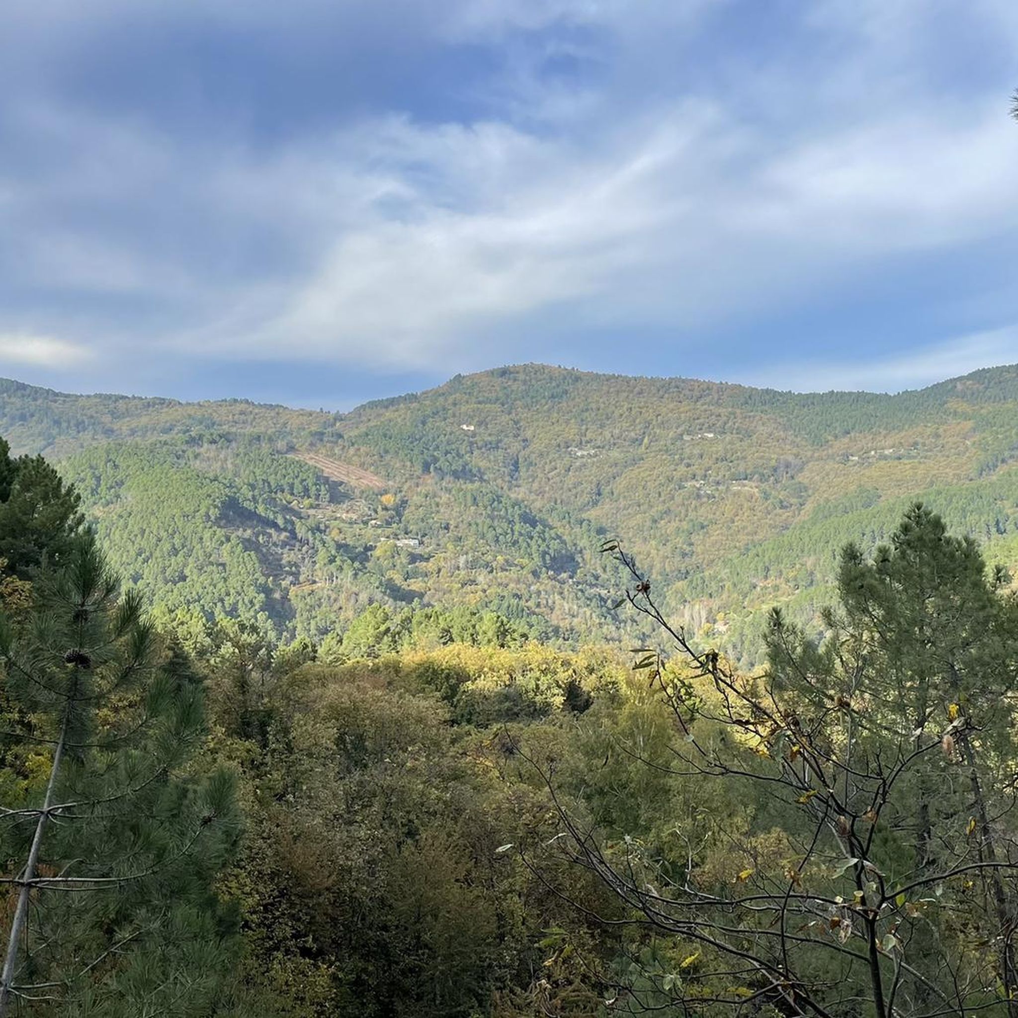
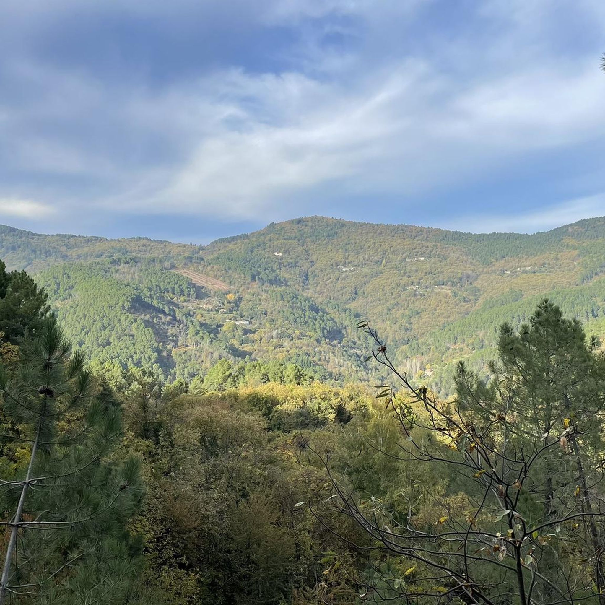
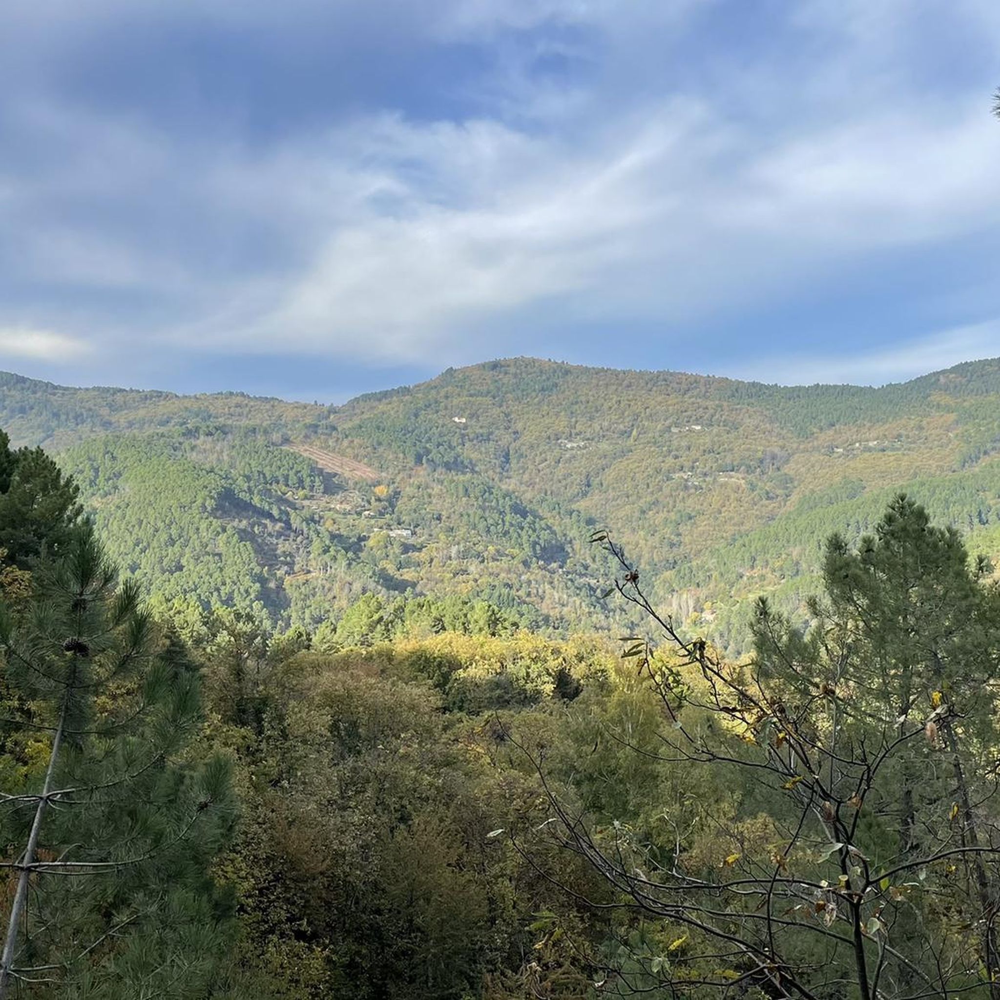
Nice pass to do on both sides with very beautiful views, a little gem like there are so many in our deep Cévennes..👌
0
0

Superb pass, a must-do if you're passing through the area. It's incredible from any side.
0
0

The only source of drinking water since Alès! You have to be forward-looking.
0
0

Attention it is possible that the water was cut in summer
0
0

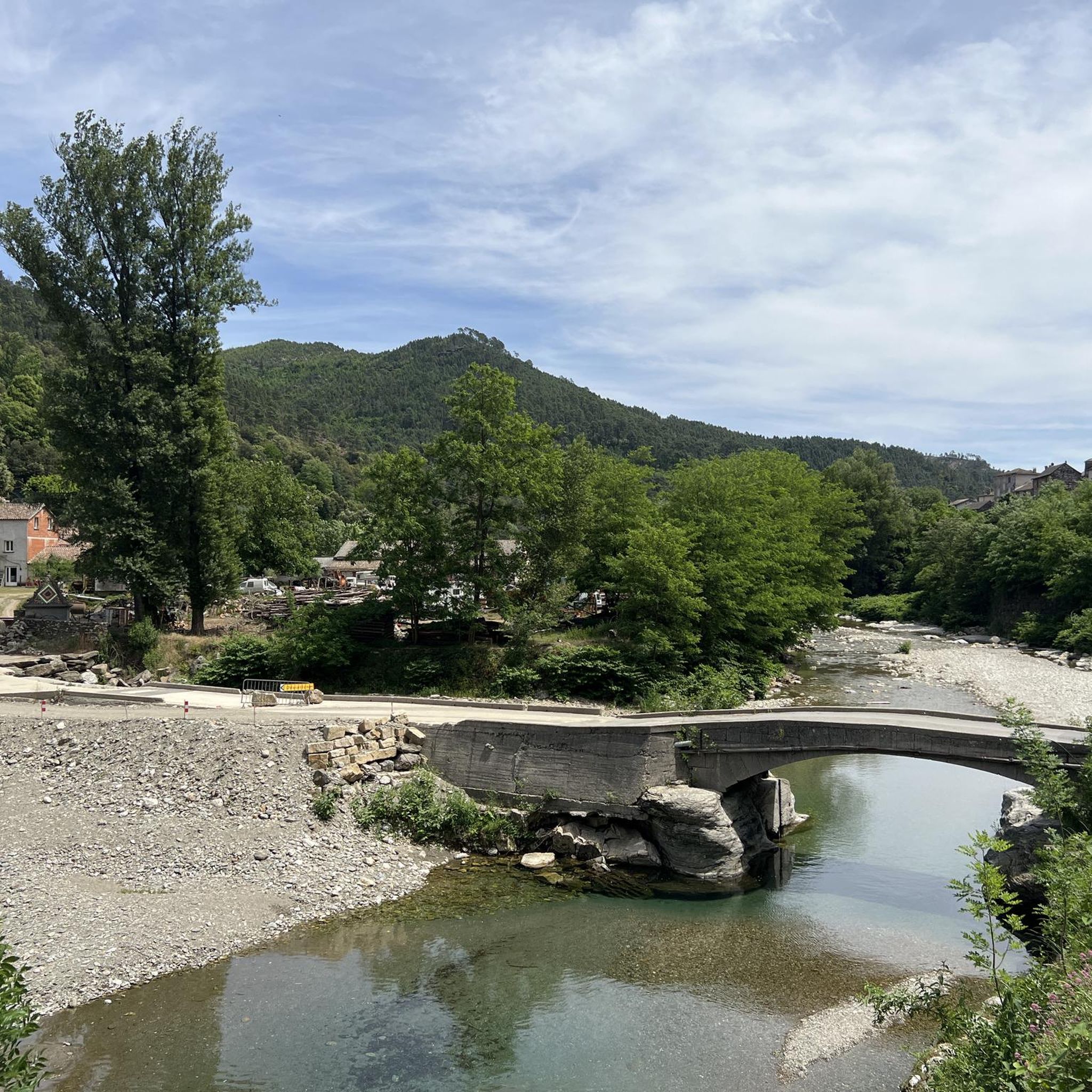
The old bridge of Mialet, also called the Camisards bridge, is classified as a historical monument. It was built shortly after the Camisards war.
0
0
Frequently Asked Questions
How many running routes are available in Saint-Martin-De-Boubaux?
There are nearly 100 running routes around Saint-Martin-De-Boubaux, offering a wide range of options for all skill levels. These trails wind through the beautiful Galeizon Valley and its surrounding forests.
Are there easy jogging trails suitable for beginners or families in Saint-Martin-De-Boubaux?
Yes, Saint-Martin-De-Boubaux offers several routes suitable for beginners or families. While many trails feature significant elevation changes, there are 4 easy and 40 moderate routes. For a pleasant, moderate run alongside the Gardon de Mialet, consider the Abarines Bridge – Gardon de Mialet Natural Pool loop from Les Plans, which is 7.2 km long.
What kind of terrain can I expect on the running routes in Saint-Martin-De-Boubaux?
The terrain in Saint-Martin-De-Boubaux is highly varied, ranging from moderate paths to challenging routes with significant elevation changes. You'll encounter wild pathways through the Galeizon Valley, alongside the fresh-water Galeizon river, and through dense coniferous and chestnut forests. The region's position within the Cévennes National Park ensures a pristine natural setting.
Are there any circular running routes in the area?
Yes, many of the running routes around Saint-Martin-De-Boubaux are circular. For example, the popular The Gardon de Mialet loop from Les Plans is a 9.3 km circular trail that takes you through the scenic Gardon de Mialet valley. Another option is the Water point loop from Les Plans, a moderate 5.8 km circular route.
What can I see along the jogging routes in Saint-Martin-De-Boubaux?
The routes offer magnificent views and opportunities to explore natural and historical sites. You might pass by the Abarines Bridge, discover the Chaos de l'Amous gorge, or even spot the Menhir at the Col de la Pierre Plantée. Elevated points in the village also provide panoramic views of the valley.
Are there any challenging running trails for experienced runners?
Absolutely. Saint-Martin-De-Boubaux is known for its challenging routes with significant elevation changes, with 54 difficult routes available. A notable difficult trail is the Old Mialet Bridge – Gardon de Mialet Natural Pool loop from Les Plans, a 9.9 km route with substantial climbs and descents. Another challenging option is the Col d'Uglas – Water point loop from Les Plans, which covers 9.9 km with over 460 meters of elevation gain.
What do other runners enjoy most about jogging in Saint-Martin-De-Boubaux?
The area is highly rated by the komoot community, with an average score of 4.3 stars from over 40 reviews. Runners often praise the pristine natural environment, the varied terrain, and the scenic beauty of the Galeizon Valley and its river. The extensive network of trails caters to different fitness levels, making it a rewarding experience for many.
What is the best time of year to go running in Saint-Martin-De-Boubaux?
The Cévennes region, including Saint-Martin-De-Boubaux, is beautiful throughout the year. Spring and autumn offer pleasant temperatures and vibrant landscapes, ideal for running. Summer can be warm, but the fresh-water Galeizon river provides opportunities for a refreshing cool-down, and the forested trails offer shade. The weekly farmers' market from June to September also adds to the summer experience.
Are there any specific long-distance trails that pass through the area?
Yes, the long-distance GR44B hiking trail passes through the Saint-Martin-De-Boubaux area, connecting Vans to Mialet. Segments of this trail can be incorporated into longer runs, offering extended exploration of the region's diverse landscapes.
What makes Saint-Martin-De-Boubaux a unique place for outdoor activities like running?
Saint-Martin-De-Boubaux is nestled within the protected natural environment of the southern Cévennes valleys, part of the Cévennes National Park and a UNESCO Man and Biosphere site. This commitment to preservation ensures clean air, pristine wild pathways, and rich flora and fauna. The stunning Galeizon Valley and its river provide a unique backdrop, making it an exceptional destination for active escapes in nature.
Are there any viewpoints or panoramic spots along the running routes?
Yes, the varied elevations in the region offer many opportunities for magnificent views. You can find panoramic vistas from elevated points within the village itself. Additionally, the Signal de Saint-Pierre Orientation Table is a specific highlight known for its views, which might be accessible from some of the longer trails.
Most popular routes around Saint-Martin-De-Boubaux
Most popular attractions around Saint-Martin-De-Boubaux

Get inspired with the komoot mobile app


Explore more
Browse the best Running Trails & Routes in other regions.
