The best road cycling routes around Saint-André-Capcèze
4.5
(72)
1,234
riders
35
rides
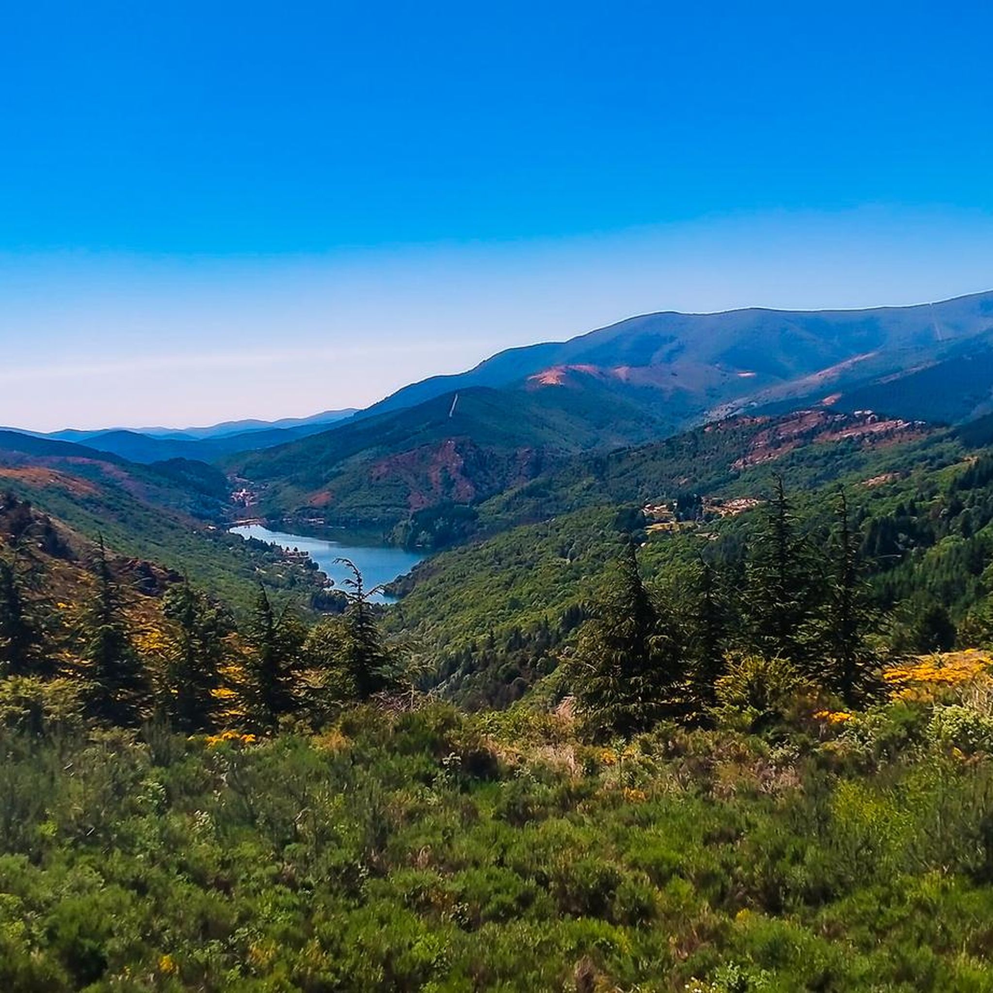
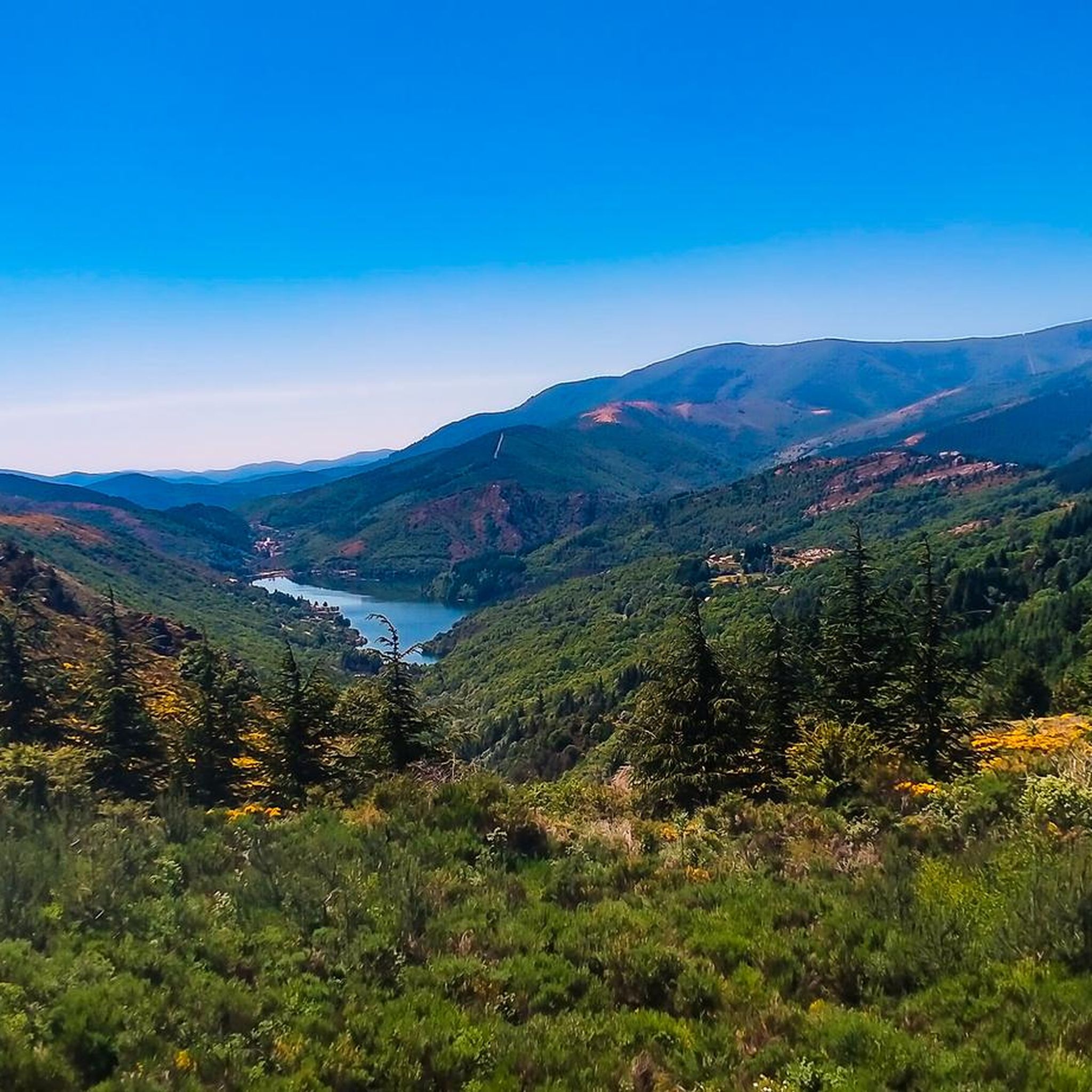
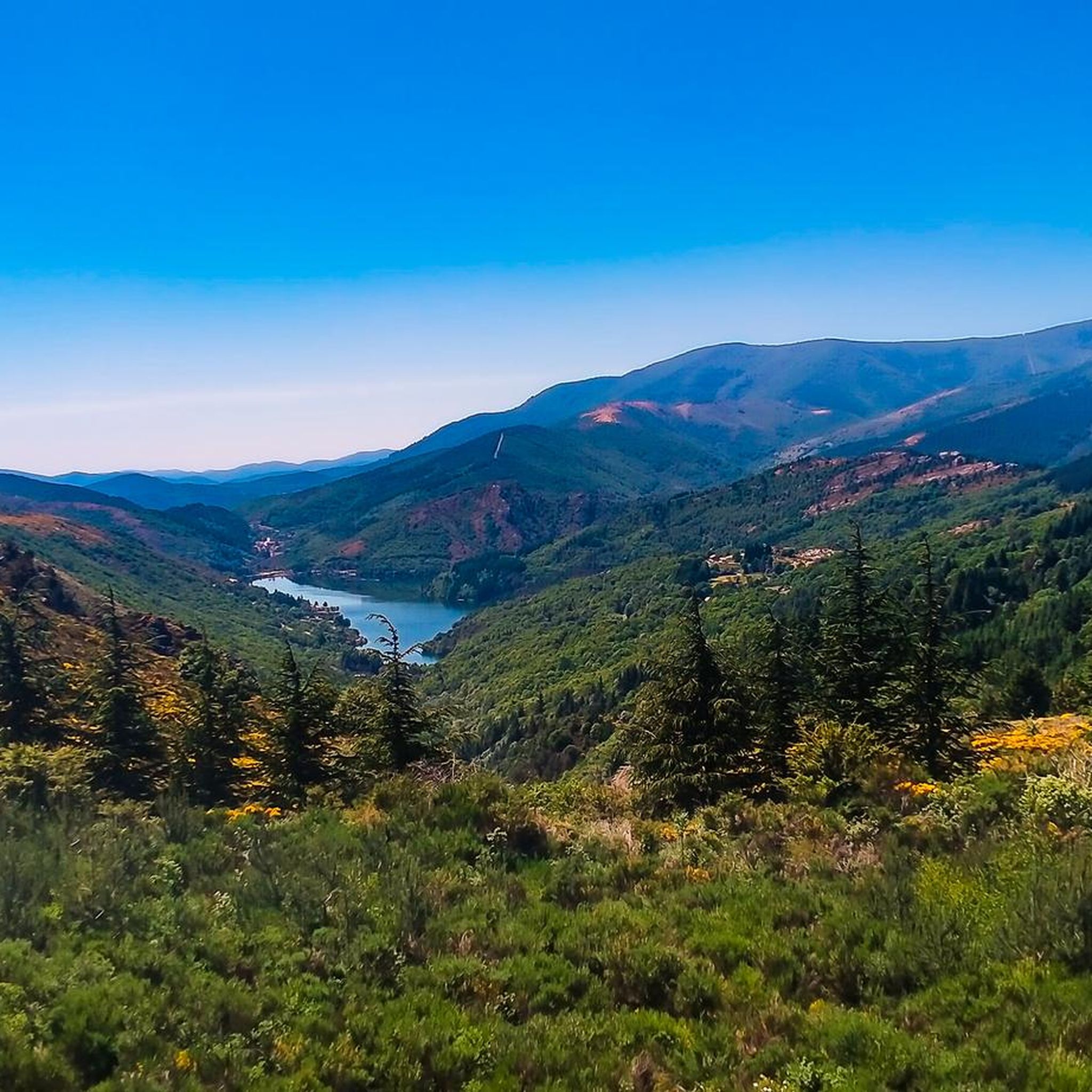
Road cycling routes around Saint-André-Capcèze are situated within the eastern part of the Cévennes National Park, a UNESCO World Heritage site. The region is characterized by diverse natural landscapes, including valleys, forests, and the foothills of Mont Lozère. Cyclists encounter narrow, winding lanes and panoramic roads that traverse this preserved environment. The Cèze River originates here, offering scenic paths along its course.
Best road cycling routes around Saint-André-Capcèze
- The most popular road cycling route is Tour of East Mont Lozère, a 59.9 miles (96.3 km) trail that takes 5 hours 27 minutes to complete. This difficult route offers expansive views of Mont Lozère and challenging ascents.
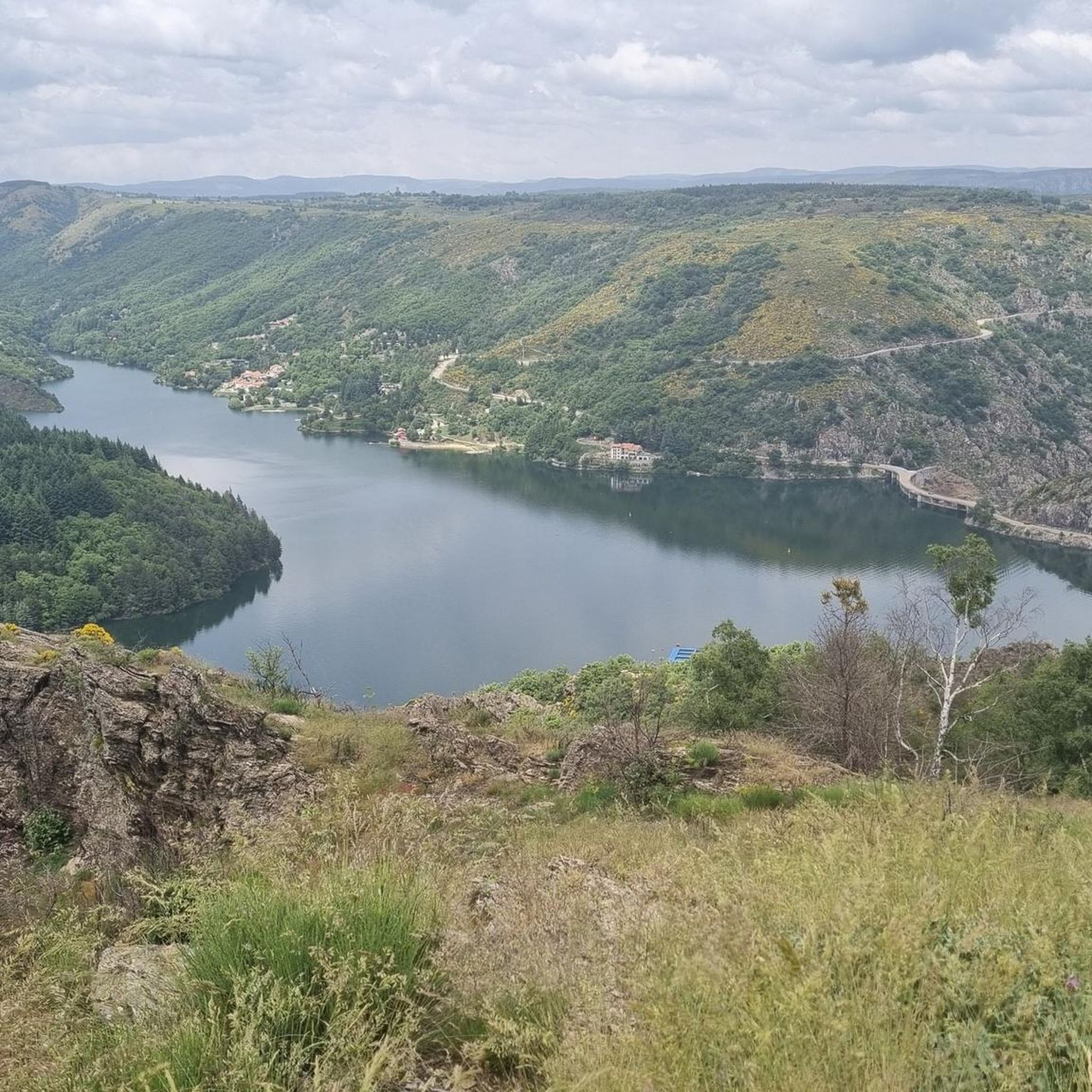
- Another top favourite among local road cyclists is Chassezac River – Stone bridge in Pied-de-Borne loop from Concoules, a difficult 41.0 miles (65.9 km) path. This route follows the Chassezac River, passing through scenic gorges and offering varied terrain.
- Local road cyclists also love the Concoules Village – Les Drouilhèdes Ford loop from Villefort, a 44.2 miles (71.2 km) trail leading through villages and varied landscapes, often completed in about 4 hours 6 minutes.
- Road cycling around Saint-André-Capcèze is defined by narrow, winding lanes, panoramic roads, and the diverse terrain of the Cévennes National Park. The network offers options for both moderate and difficult ability levels.
- The routes in Saint-André-Capcèze are highly rated by the komoot community with an average score of 4.3 stars from over 50 reviews. More than 1,100 road cyclists have used komoot to explore Saint-André-Capcèze's varied terrain.
Last updated: June 29, 2026
4.8
(4)
152
riders
96.3km
05:28
1,990m
1,980m
Road cycling the difficult 59.8-mile Col de Finiels in the Cévennes National Park offers vast panoramic views and challenging climbs.
4.6
(17)
357
riders
65.9km
03:32
1,190m
1,190m
Hard road ride. Very good fitness required. Mostly well-paved surfaces and easy to ride.

Sign up for free
5.0
(4)
69
riders
73.3km
04:09
1,190m
1,190m
Hard road ride. Very good fitness required. Some segments of this route may be unpaved and difficult to ride.
2.5
(2)
40
riders
63.2km
03:41
1,180m
1,180m
Hard road ride. Very good fitness required. Some segments of this route may be unpaved and difficult to ride.
4.5
(4)
43
riders
60.1km
02:55
840m
840m
Moderate road ride. Good fitness required. Some segments of this route may be unpaved and difficult to ride.
Get access to more routes and recommendations from other explorers.
Sign up for free
Already have an account?
Our route recommendations are based on thousands of hikes, rides, and runs completed by other people on komoot.
Start today with a free account
Your next adventure awaits.
Login or Signup
Tips from the Community

Ideal for a short stop during a longer ride. Delicious cakes and cold water. Also a tip for outside cycling: the “Cevenol” bread is incredibly delicious!
0
0

Here, the Lot is still a small stream, with its source 300 meters away. For me, this was the last bridge over the Lot. More information: https://de.wikipedia.org/wiki/Lot_%28Fluss%29?wprov=sfla1
2
0
nice little town in the Cévennes
3
0
beautiful little church at the entrance to the village
0
0
Nice road for cycling. Varied views and forest. Asphalt in decent condition. Goes up and down nicely.
0
0

Lovely climb to warm up after a long day in the saddle
0
0
Frequently Asked Questions
How many road cycling routes are available around Saint-André-Capcèze?
There are over 30 road cycling routes available around Saint-André-Capcèze, offering a diverse range of experiences within the Cévennes National Park. These routes cater to various skill levels, with a focus on moderate to difficult challenges.
What is the typical terrain and road surface like for road cycling in the Cévennes near Saint-André-Capcèze?
The region is known for its diverse and preserved natural environment, featuring narrow, winding lanes and panoramic roads. You'll encounter varied terrain, including valleys, forests, and the foothills of Mont Lozère. The Cévennes National Park, a UNESCO World Heritage site, offers numerous paved passes, making it a true cyclist's paradise.
What are the difficulty levels of road cycling routes in this area?
The road cycling routes around Saint-André-Capcèze are primarily categorized as moderate to difficult. Out of the over 30 available routes, 15 are considered moderate and 18 are difficult, providing ample challenge for experienced cyclists. For example, the Tour of East Mont Lozère is a difficult route with significant elevation gain.
What can I expect to see along the road cycling routes near Saint-André-Capcèze?
Road cycling routes in this area offer stunning natural beauty and historical insights. You can enjoy expansive views of Mont Lozère, follow the scenic Cèze River from its source, and pass through impressive gorges. Notable natural landmarks include the Rock Pools of the Gorges de Chassezac and the Chassezac River itself. You might also encounter charming villages and traditional architecture.
Are there any circular road cycling routes starting from Saint-André-Capcèze?
Yes, many routes in the region are designed as loops, allowing you to start and end in the same location. An example is the difficult Chassezac River – Stone bridge in Pied-de-Borne loop from Concoules, which offers varied terrain along the river. Another option is the Concoules Village – Les Drouilhèdes Ford loop from Villefort.
What is the best time of year for road cycling in Saint-André-Capcèze?
The region benefits from a Mediterranean climate, generally offering pleasant conditions for outdoor activities. Spring and autumn are often ideal, with milder temperatures and beautiful scenery. Summer can be warm, but the higher elevations and shaded routes can still be enjoyable. Always check local weather forecasts before heading out.
What do other cyclists say about road cycling in Saint-André-Capcèze?
The road cycling routes around Saint-André-Capcèze are highly rated by the komoot community, with an average score of 4.3 stars from over 50 reviews. More than 1,100 road cyclists have used komoot to explore the varied terrain, often praising the challenging ascents, panoramic views, and the preserved natural environment of the Cévennes National Park.
Are there any long-distance road cycling routes in the area?
Yes, the region offers several longer routes for endurance cyclists. For instance, the Tour of East Mont Lozère is a challenging 59.9-mile (96.3 km) route that takes approximately 5 hours and 27 minutes to complete, offering extensive views and significant elevation changes.
Are there any specific regulations for cycling within the Cévennes National Park?
As Saint-André-Capcèze is within the Cévennes National Park, it's important to respect park regulations. Generally, cycling is permitted on designated roads and paths. While specific permits for road cycling are not typically required, always stay on marked routes, respect wildlife, and minimize your environmental impact. For detailed information, you can consult the official Cévennes National Park website.
Where can I find parking for road cycling routes in Saint-André-Capcèze?
While specific parking areas for each route are not detailed, Saint-André-Capcèze and nearby villages like Villefort or Concoules typically offer public parking options. It's advisable to check local village maps or information points upon arrival for the most convenient places to park your vehicle before starting your ride.
Are there opportunities to stop for food or accommodation along the routes?
Yes, the region is dotted with picturesque villages such as La Garde-Guerin, Naves, and Le Pont de Montvert, which often provide cafes, restaurants, and accommodation options. These villages offer opportunities to refuel and experience the local culture and traditional architecture. Planning your route to pass through these villages can enhance your cycling experience.
Can I find bike rental services in or near Saint-André-Capcèze?
While Saint-André-Capcèze is a smaller village, bike rental services, including road bikes, may be available in larger towns within the Cévennes region. It's recommended to search for rental shops in nearby hubs or contact local tourist information centers in advance to arrange for bike hire.
Most popular routes around Saint-André-Capcèze
Most popular attractions around Saint-André-Capcèze

Get inspired with the komoot mobile app


Explore more
Browse the best Road cycling routes in other regions.
