The best running trails around Vialas
4.8
(6)
361
runners
22
runs
Jogging around Vialas offers diverse and challenging terrain within the Lozère region, bordering the Cévennes National Park. The area features significant elevation changes, with routes traversing mountainous landscapes and dense forests. Rivers like the Tarn and bodies of water such as Lac de Villefort provide additional scenic elements for running routes. This varied environment caters to different fitness levels, from moderate paths to difficult trail runs.
Best jogging routes around Vialas
- The most popular jogging route is Les Rochers de…
Last updated: June 30, 2026
12
runners
Hard run. Very good fitness required. Sure-footedness, sturdy shoes and alpine experience required.
5.0
(2)
10
runners
9.78km
01:21
250m
250m
Hard run. Good fitness required. Sure-footedness, sturdy shoes and alpine experience required.

Sign up for free
12
runners
18km
02:49
750m
750m
Hard run. Very good fitness required. Sure-footedness, sturdy shoes and alpine experience required.
6
runners
11.5km
01:28
310m
310m
Hard run. Very good fitness required. Sure-footedness, sturdy shoes and alpine experience required.
5.0
(1)
7
runners
5.38km
00:36
130m
140m
Moderate run. Good fitness required. Mostly paved surfaces. Suitable for all skill levels.
Get access to more routes and recommendations from other explorers.
Sign up for free
Already have an account?
Our route recommendations are based on thousands of hikes, rides, and runs completed by other people on komoot.
Start today with a free account
Your next adventure awaits.
Login or Signup

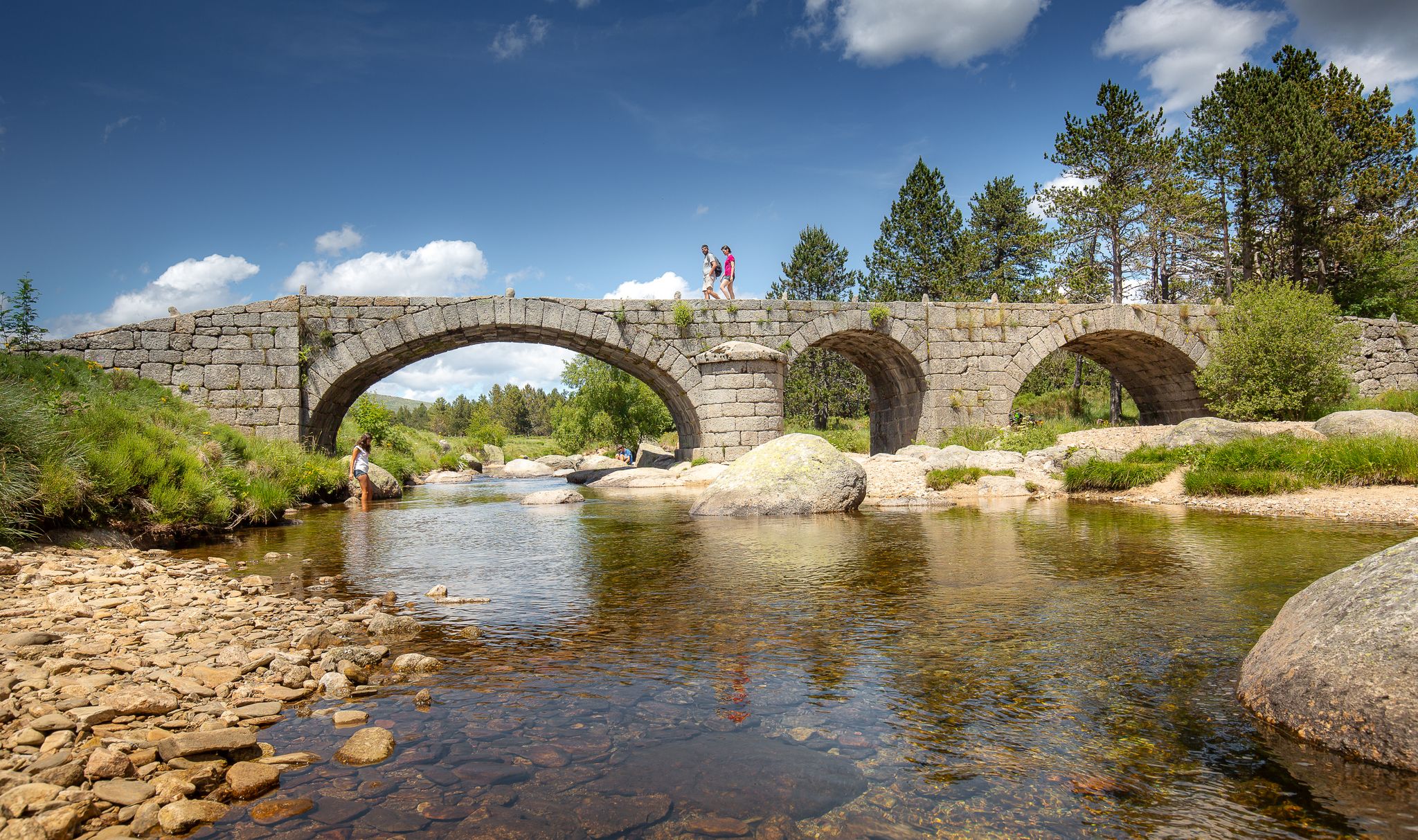
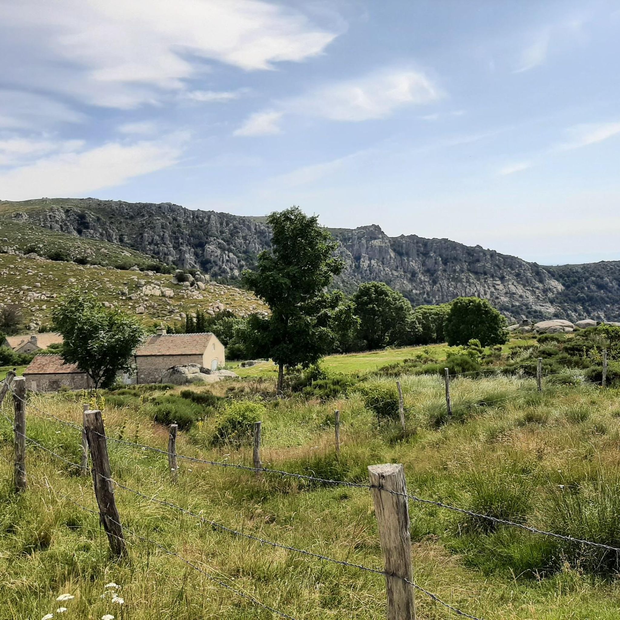
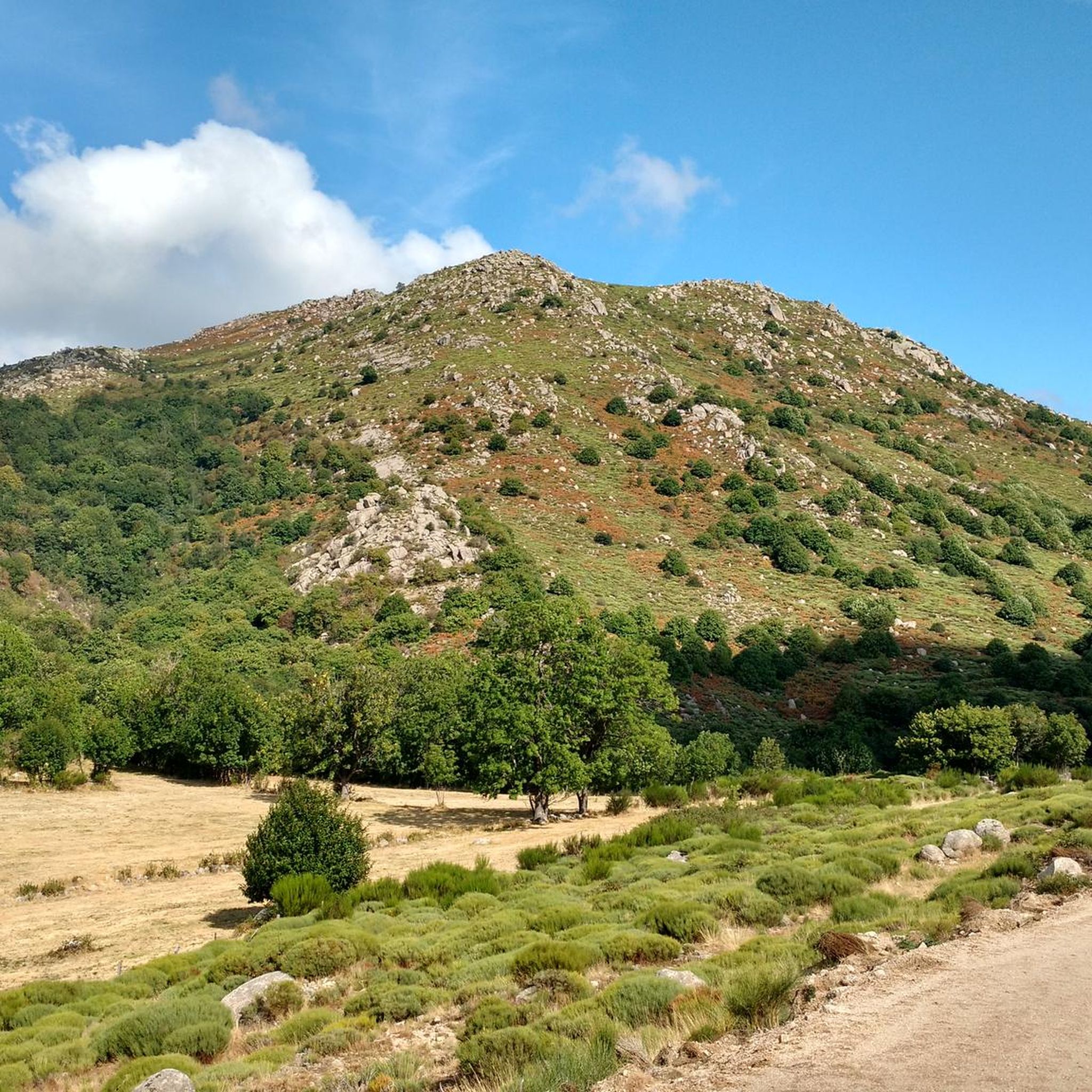



Tips from the Community

Great starting point for hikes: Pic Cassini, Pont du Tarn… The cottages are very pleasant.
0
0


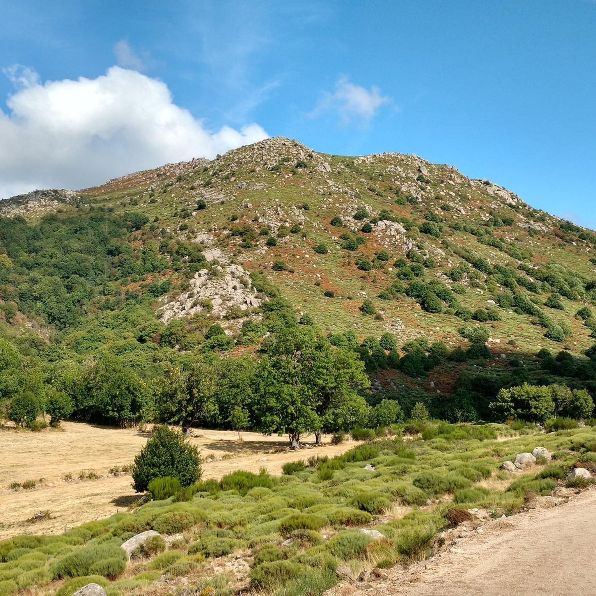
Located at an altitude of 1,203 meters, Montadou offers beautiful views of the Massif Central. You benefit from a 360º panorama of the surrounding peaks.
0
0

Several hikes to do in this area, there is the inn to eat and the chalet de l'aigle (unguarded reguge) where you can spend a nice night.
0
0

A mas designates a set of rural houses often organized around a farm. Here, you can also find a hostel to eat and spend the night.
1
1

The Rochers de Trenze form an impressive rocky bar that offers incredible views of the Cévennes.
0
0
Pic Cassini, with its 1,681 meters of altitude, is the second summit of Mont Lozère. Its name is a tribute to the Cassini family of scientists who, in four generations and thanks to triangulation, established in 1744 the first precise map of the kingdom of France: the first Cassini map. The summit, then named Belle Coste summit, served (among other French summits) as a geodesic point. The triangle-shaped structure is also reminiscent of the pyramidal observation structures used by cartographers.
3
0
Frequently Asked Questions
How many running routes are available around Vialas?
There are over 20 dedicated running routes around Vialas listed on komoot. These routes offer a mix of moderate and difficult terrain, catering to various fitness levels.
What kind of terrain can I expect on jogging trails in Vialas?
Jogging in Vialas is characterized by diverse and challenging terrain. You'll find significant elevation changes, mountainous landscapes, and dense forests, especially within or bordering the Cévennes National Park. Many paths offer shaded sections, which can be pleasant during warmer months.
Are there any moderate running routes in Vialas for beginners or those seeking an easier run?
Yes, while many routes are challenging, there are moderate options available. For example, the Lac Vialas Luech loop from Vialas is a moderate 5.3 km route with about 132 meters of elevation gain, offering a less intense experience.
What are some notable natural features or landmarks I might see while running near Vialas?
The region boasts stunning natural beauty. You can encounter the mountainous landscapes of the Cévennes National Park, rivers like the Tarn, and bodies of water such as Lac de Villefort. Other points of interest include the charming hamlet of Le Pont-de-Montvert and the scenic Pic Cassini, known for its panoramic views.
Are there any running routes that feature waterfalls or significant water bodies?
Yes, some routes incorporate water features. The Le Mas de la Barque – Cascade loop from Mas de la Barque is an 18 km trail that leads through varied landscapes and includes a cascade. Additionally, routes near Lac de Villefort offer scenic lakeside running.
What do other runners say about the trails in Vialas?
The running routes in Vialas are highly regarded by the komoot community, holding an average rating of 4.8 out of 5 stars from numerous reviews. Runners often praise the challenging terrain, the stunning natural scenery, and the well-documented paths that make planning easier.
Are there any circular running routes around Vialas?
Yes, many of the routes around Vialas are designed as loops, offering a convenient circular experience. Examples include the challenging Les Rochers de Trenze – trail loop starting from Vialas – Cévennes National Park and the moderate Lac Vialas Luech loop from Vialas.
What is the typical elevation gain on running trails in Vialas?
Given the mountainous terrain, many running trails in Vialas feature significant elevation gains. For instance, the Les Rochers de Trenze – trail loop involves nearly 800 meters of ascent over 13.9 km, providing a substantial workout for trail runners.
Can I find routes that offer panoramic views of the region?
Absolutely. The region is known for its breathtaking vistas. Routes that ascend to points like Pic Cassini, such as the Col de l'Aigle – Pic Cassini loop from Mas de la Barque, are particularly rewarding for their expansive panoramic views of the surrounding mountains and forests.
Are there any running routes suitable for families with children?
While many routes are challenging, families might find the shorter, moderate options more suitable. The Lac Vialas Luech loop from Vialas is a moderate 5.3 km trail that could be a good option for active families looking for a less strenuous run or walk.
What is the best time of year to go running in Vialas?
The region's dense forests offer shaded paths, which can be particularly appealing during warmer months. However, the mountainous terrain means conditions can vary. Spring and autumn generally offer pleasant temperatures for running, while summer provides shade and winter can bring challenging conditions at higher elevations.
Are there any specific routes that are particularly challenging for experienced trail runners?
Experienced trail runners will find plenty of challenges. The Les Rochers de Trenze – trail loop starting from Vialas – Cévennes National Park is a difficult 13.9 km route with significant ascents. Another demanding option is the Le Mas de la Barque – Cascade loop from Mas de la Barque, an 18 km difficult trail.
Most popular attractions around Vialas

Get inspired with the komoot mobile app


Explore more
Browse the best Running Trails & Routes in other regions.
