The best road cycling routes around Saint-André-De-Lancize
4.7
(37)
896
riders
49
rides
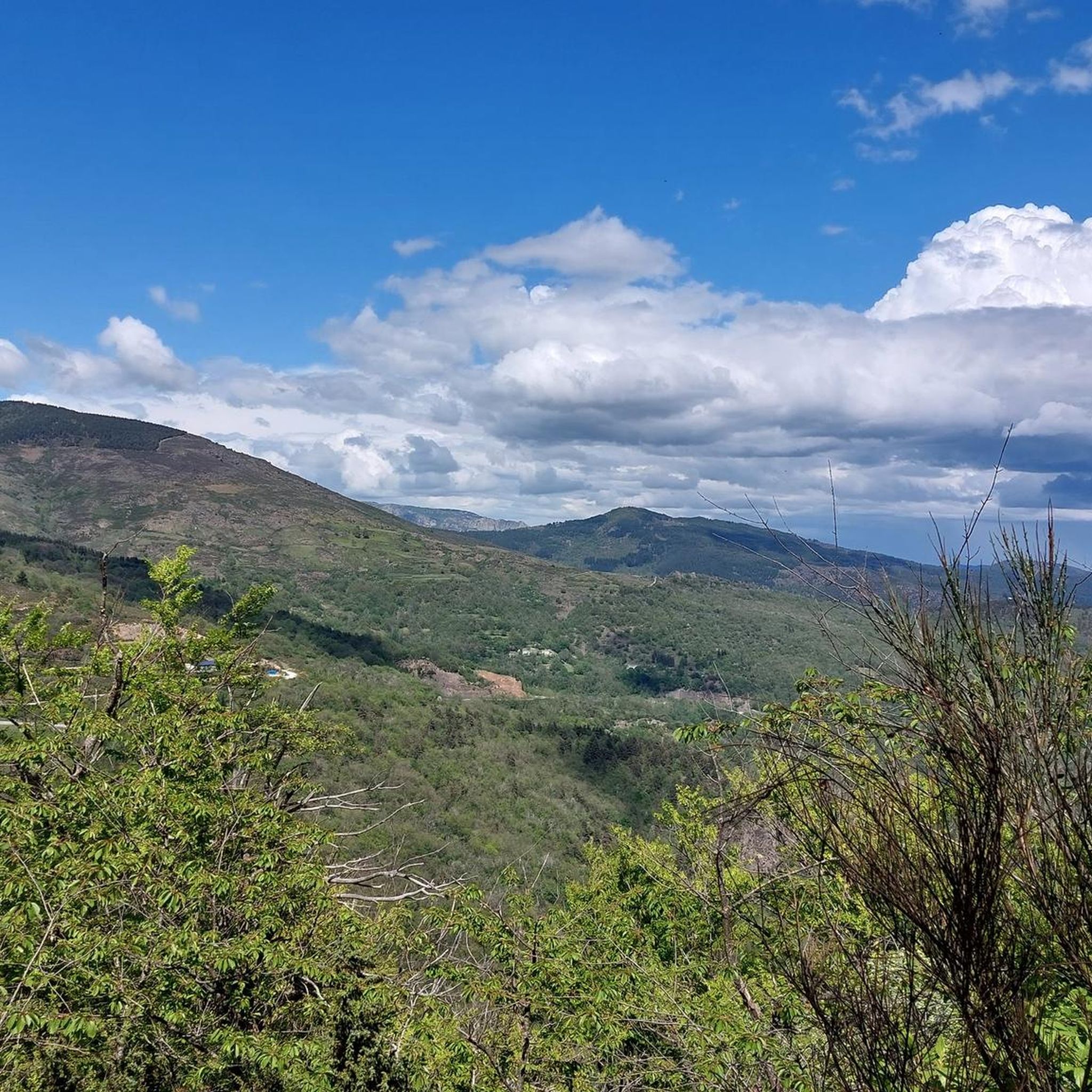
Road cycling around Saint-André-De-Lancize features a landscape characterized by significant elevation changes, including numerous mountain passes and challenging climbs. The region's terrain is defined by its rugged natural beauty, with routes often traversing through valleys and alongside forested areas. This area offers a diverse network of roads suitable for various levels of road cyclists, from those seeking beginner road cycling experiences to advanced road bike climbs.
Best road cycling routes around Saint-André-De-Lancize
- The most popular road cycling route is Baraque Pass (631 m) – Climb of the Croix des Vents loop from Saint-Hilaire-de-Lavit, a 43.3 miles (69.7 km) trail that takes 3 hours 24 minutes to complete. This route features a substantial climb and offers panoramic views of the surrounding area.
- Another top favourite among local road cyclists is Le Vergougnous loop from Cassagnas, a difficult 40.4 miles (65.1 km) path. This route includes significant ascents and descents through varied terrain, challenging riders with its sustained climbs.
- Local road cyclists also love the Le Pont-de-Montvert – Sapet Pass loop from Saint-Hilaire-de-Lavit, a 47.0 miles (75.7 km) trail leading through mountain passes and valleys, often completed in about 4 hours 15 minutes.
- Road cycling around Saint-André-De-Lancize is defined by its challenging mountain passes, scenic valleys, and winding forest roads. The network offers options for different ability levels, from a few easy road bike trails to many difficult routes with significant elevation gain.
- The routes in Saint-André-De-Lancize are highly rated by the komoot community with an average score of 4.7 stars from over 20 reviews. More than 600 road cyclists have used komoot to explore Saint-André-De-Lancize's varied terrain.
Last updated: June 26, 2026
4.7
(9)
133
riders
62.7km
03:11
1,050m
1,050m
Hard road ride. Very good fitness required. Mostly well-paved surfaces and easy to ride.
5.0
(2)
49
riders
66.7km
03:20
1,050m
1,050m
Hard road ride. Very good fitness required. Mostly well-paved surfaces and easy to ride.

Sign up for free
5.0
(1)
21
riders
75.7km
04:15
1,490m
1,490m
Hard road ride. Very good fitness required. Some segments of this route may be unpaved and difficult to ride.
29
riders
Hard road ride. Very good fitness required. Mostly well-paved surfaces and easy to ride.
4.0
(1)
18
riders
80.4km
04:25
1,600m
1,600m
Hard road ride. Very good fitness required. Some segments of this route may be unpaved and difficult to ride.
Get access to more routes and recommendations from other explorers.
Sign up for free
Already have an account?
Our route recommendations are based on thousands of hikes, rides, and runs completed by other people on komoot.
Start today with a free account
Your next adventure awaits.
Login or Signup

Other adventures around Saint-André-De-Lancize

Tips from the Community

The Col du Sapet overlooks the heart of the Cévennes National Park at an altitude of 1,080 meters. It is located on Mont du Bougès and serves as a starting point for numerous hiking trails. This pass is also particularly popular with local cyclists, with its 450-meter elevation gain and views of the Cévennes Mountains.
0
0

magnificent view. Moderate difficulty. Beware of high heat.
0
0

Great rides, few cars, magnificent
0
0

Beautiful village, located on the Tharn. Possible stop on the Stevenson Trail and the GR7
5
0

to visit Maison Rouge
0
0

On the road between the old Cassagnas station (and the Stevenson space) and Barre-des-Cenvennes.
0
0

Frequently Asked Questions
How many road cycling routes are available around Saint-André-De-Lancize?
There are over 45 road cycling routes around Saint-André-De-Lancize, offering a wide range of options for different skill levels. This includes 1 easy route, 18 moderate routes, and 26 difficult routes, ensuring there's something for every road cyclist.
Are there any easy road cycling routes suitable for beginners in Saint-André-De-Lancize?
While the region is known for its challenging terrain, there is at least one easy road cycling route available around Saint-André-De-Lancize. These routes typically feature less elevation gain and shorter distances, making them ideal for beginners or those looking for a more relaxed ride.
What kind of challenges can advanced road cyclists expect in this region?
Advanced road cyclists will find plenty of challenges around Saint-André-De-Lancize, with 26 difficult routes featuring significant elevation changes and numerous mountain passes. Routes like the Barre-des-Cévennes – Vebron loop from Cassagnas, for example, involve substantial climbs and descents, testing endurance and climbing skills.
Are there any loop road cycling trails around Saint-André-De-Lancize?
Yes, many of the road cycling routes around Saint-André-De-Lancize are designed as loops, allowing you to start and finish at the same point. Examples include the challenging Baraque Pass (631 m) – Climb of the Croix des Vents loop from Saint-Hilaire-de-Lavit and the scenic Le Pont-de-Montvert – Sapet Pass loop from Saint-Hilaire-de-Lavit.
What are some scenic viewpoints or natural attractions to see while road cycling?
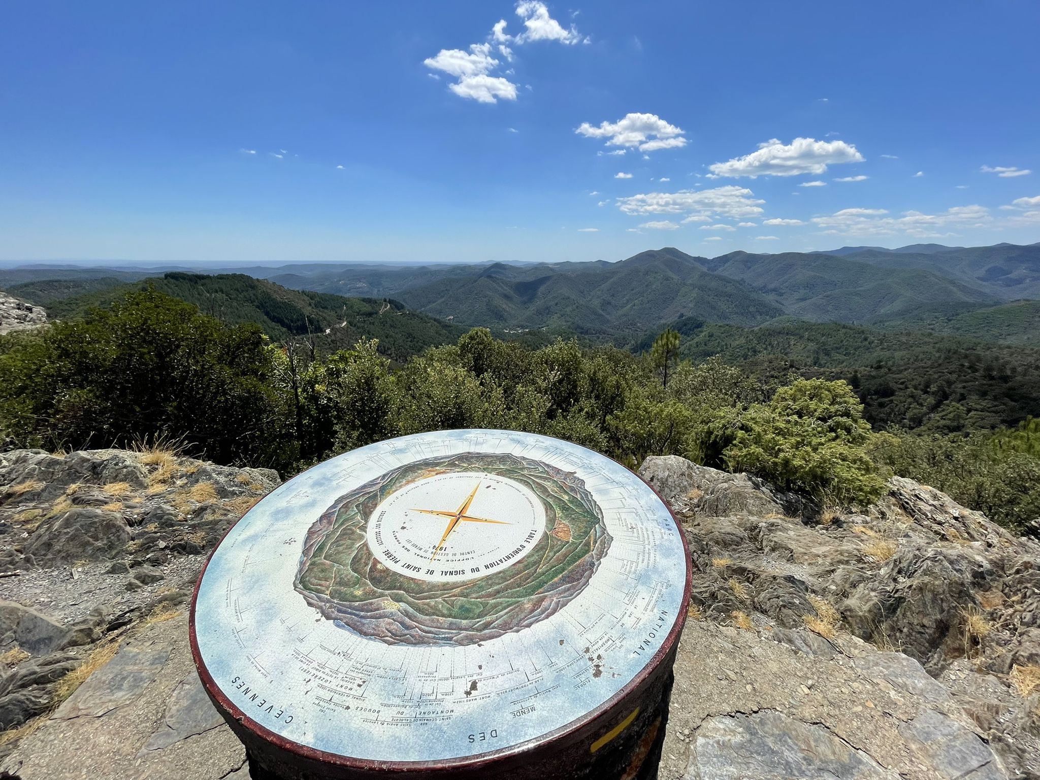
The region offers stunning natural beauty. Along your rides, you might encounter highlights such as the Cairn and Panorama or enjoy a View of heathland and rock formations in Cévennes National Park. The Col de la Croix de Berthel also offers impressive vistas.
Are there any historical or cultural landmarks along the road cycling routes?
Yes, you can discover several interesting landmarks. Consider visiting the settlement of Le Pont-de-Montvert, or the Protestant Temple of Closelet. The Saint-Germain-de-Calberte War Memorial also offers a glimpse into local history.
What is the best time of year for road cycling in Saint-André-De-Lancize?
The region's terrain, characterized by mountain passes and valleys, suggests that spring and autumn generally offer the most pleasant conditions for road cycling, with milder temperatures and less extreme weather. Summer can be warm, especially on climbs, while winter might present challenges with colder temperatures and potential for snow at higher elevations.
What do other road cyclists say about the routes in Saint-André-De-Lancize?
The road cycling routes around Saint-André-De-Lancize are highly rated by the komoot community, with an average score of 4.7 stars from over 20 reviews. Cyclists often praise the challenging mountain passes, scenic valleys, and winding forest roads that define the region's diverse terrain.
How long do road cycling routes typically take to complete?
Route durations vary significantly based on distance and elevation. For example, the Le Vergougnous loop from Cassagnas, a difficult 40.4-mile (65.1 km) path, typically takes around 3 hours 20 minutes, while the longer Jalcreste Pass – Serre de Pradel Pass loop from La Combe de Ferriere, at 42.1 miles (67.8 km), might take closer to 3 hours 45 minutes.
Are there any routes that pass through the Cévennes National Park?
Given Saint-André-De-Lancize's location, many routes traverse or offer views of the Cévennes National Park, known for its rugged natural beauty. You can expect to cycle through areas with heathland and unique rock formations, providing a truly immersive experience in the park's landscape.
Where can I find parking for road cycling routes in Saint-André-De-Lancize?
Many road cycling routes around Saint-André-De-Lancize start from villages or towns like Saint-Hilaire-de-Lavit or Cassagnas. These locations typically offer public parking options, often near the start of popular trails. It's advisable to check local parking availability for your chosen starting point.
Most popular routes around Saint-André-De-Lancize
Most popular attractions around Saint-André-De-Lancize

Get inspired with the komoot mobile app


Explore more
Browse the best Road cycling routes in other regions.
