The best walks and hikes around Plougasnou
4.2
(351)
2,116
hikers
69
hikes
Hiking around Plougasnou offers diverse coastal landscapes along the shores of Morlaix Bay, characterized by its 23 kilometers of varied coastline. The region features prominent headlands like Pointe de Primel and Pointe du Diben, providing panoramic sea views. Trails often traverse fine sand beaches, secluded coves, and areas with unique pink granite formations.
Best hiking trails around Plougasnou
- The most popular hiking route is Crevasse Cave – Primel Point loop from Primel-Trégastel, a 1.9 miles (3.1 km) trail that takes about 50 minutes to complete. This easy path offers views of the coastline around Primel Point.
- Another top favourite among local hikers is Pointe de Perhérel – View of Pointe du Diben loop from Primel-Trégastel, a difficult 13.1 miles (21.0 km) path. This route provides continuous views of Morlaix Bay and its islands, extending along a rugged coastal section.
- Local hikers also love the Roc'h Louët Point – GR34 Coastal Path, Plougasnou loop from Plougasnou, a 6.2 miles (9.9 km) trail leading through coastal paths and around Roc'h Louët Point, often completed in about 2 hours 40 minutes.
- Hiking around Plougasnou is defined by coastal paths, Morlaix Bay views, and diverse beaches, offering routes with varying difficulty levels. The network includes options from easy strolls to more challenging treks.
- The routes in Plougasnou are highly rated by the komoot community with an average score of 4.2 stars from over 300 reviews. Nearly 2000 hikers have used komoot to explore Plougasnou's varied terrain.
Last updated: August 19, 2026
4.8
(36)
208
hikers
3.11km
00:50
30m
30m
Easy hike. Great for any fitness level. Easily-accessible paths. Suitable for all skill levels.
4.3
(11)
60
hikers
14.5km
03:53
170m
170m
Moderate hike. Good fitness required. Easily-accessible paths. Suitable for all skill levels.

Sign up for free
4.6
(18)
176
hikers
11.6km
03:04
110m
110m
Moderate hike. Good fitness required. Easily-accessible paths. Suitable for all skill levels.
4.5
(17)
119
hikers
14.2km
03:47
160m
160m
Moderate hike. Good fitness required. Easily-accessible paths. Suitable for all skill levels.
4.8
(8)
53
hikers
12.1km
03:13
120m
120m
Moderate hike. Good fitness required. Easily-accessible paths. Suitable for all skill levels.
Get access to more routes and recommendations from other explorers.
Sign up for free
Already have an account?
Our route recommendations are based on thousands of hikes, rides, and runs completed by other people on komoot.
Start today with a free account
Your next adventure awaits.
Login or Signup
Popular around Plougasnou



Tips from the Community

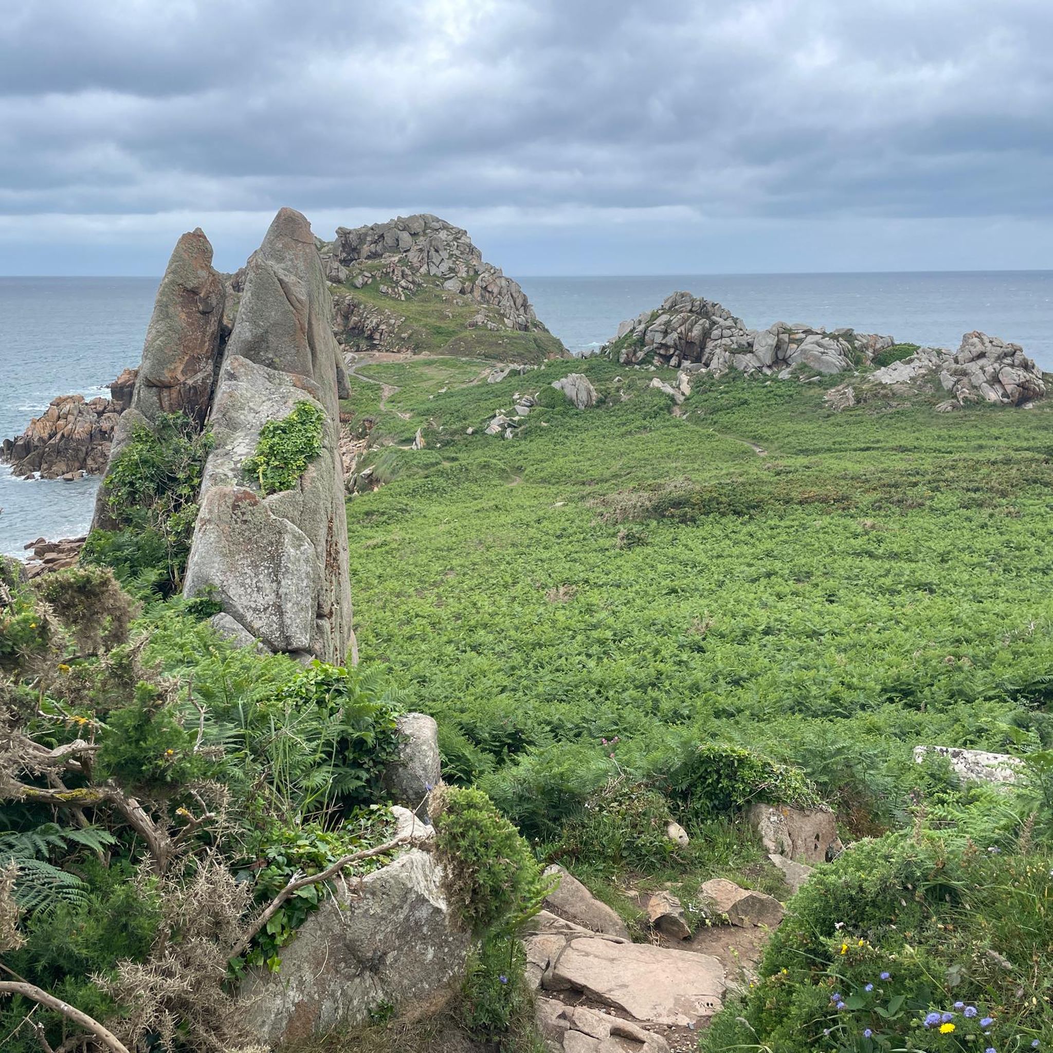
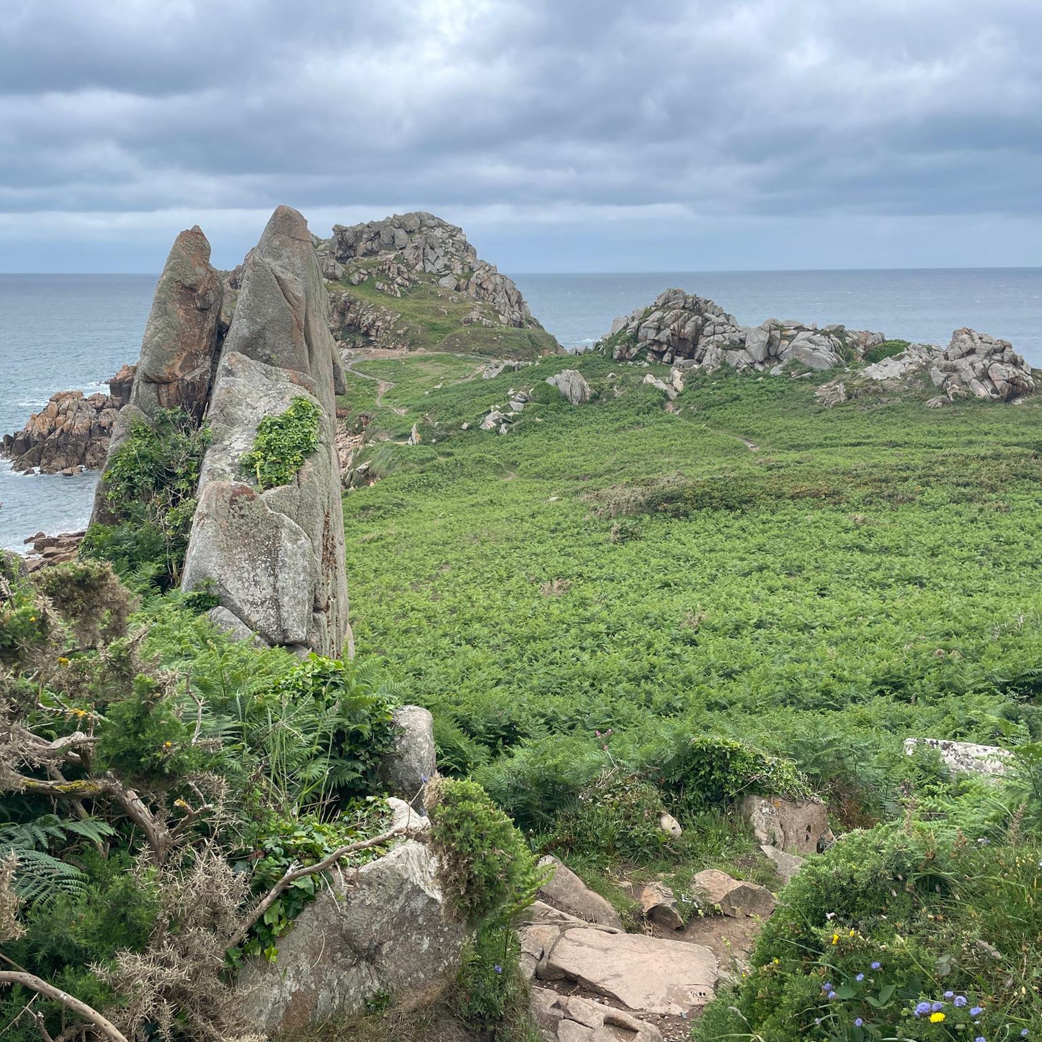
Also known by the unusual name of Menhir des Marsouins (Porpoise Menhir), this megalith located on the plateau of the Primel peninsula has an astonishing contemporary history: * A Neolithic relic: This granite block lay unnoticed for centuries amidst the vegetation of the peninsula. * Erected in 1978: In March 1978, during the cleanup of the coasts following the shipwreck of the Amoco Cadiz, a unit of marines (the 23rd RIMa) was deployed to the site. At the request of Abbé Tanguy, the soldiers erected the monolith to restore it to its original position. * The nickname: It is in homage to these marines, traditionally nicknamed "Marsouins" (Porpoises), that the stone bears this name today. A beautiful stop steeped in history during your walk along the Primel peninsula!
1
0
Located in Plougasnou, the Pointe de Primel is a spectacular rocky peninsula jutting out into the English Channel, renowned for its imposing granite chaos and impressive geological faults like Le Gouffre. Crossed by the GR 34, it houses the historic customs officers' hut and offers a remarkable 360° panorama over the entire bay of Morlaix.
0
0
Impressive rocky notch with emerald waters * Its geological origin: It is a tectonic fault about 2 m wide. It formed at the level of a vein of softer rocks that were progressively eroded by the impact of the waves, particularly during the sea level rise about 10,000 years ago. * Its peculiarity: This fault separates the most extreme reef from the rest of the peninsula. At high tide, the waves rush into it with force, while at low tide or in calm weather, it forms this magnificent little corridor of translucent water with green reflections!
0
0
Also known as the Cabane des Douaniers (Customs Officers' Hut), this small stone building, firmly anchored to the rock, is one of the most iconic sites on the Pointe de Primel in Plougasnou. A strategic observation post: Built in the 19th century under the First Empire, this small granite hut served as a lookout post for maritime surveillance and the fight against smuggling along the Breton coast. Robust architecture: Carved directly into the rock and covered with a heavy slate roof, it was designed to withstand storms and the repeated assaults of the offshore wind. An exceptional panorama: Perched on its rocky spur, it offers a breathtaking 360° view of the entrance to the Bay of Morlaix and the open sea, making it an essential stop along the customs officers' path (GR 34).
1
0
This small stone building, firmly anchored to the rock, is one of the most emblematic sites of Pointe de Primel in Plougasnou. * A strategic observation post: Built in the 19th century under the First Empire, this small granite hut served as a lookout post for maritime surveillance and the fight against smuggling along the Breton coasts. * Robust architecture: Carved directly into the rock and covered with a heavy slate roof, it was designed to withstand storms and the repeated assaults of the offshore wind. * An exceptional panorama: Perched on its rocky spur, it offers a breathtaking 360° view of the entrance to the Bay of Morlaix and the open sea, making it an essential stop along the customs officers' path (GR 34).
1
0
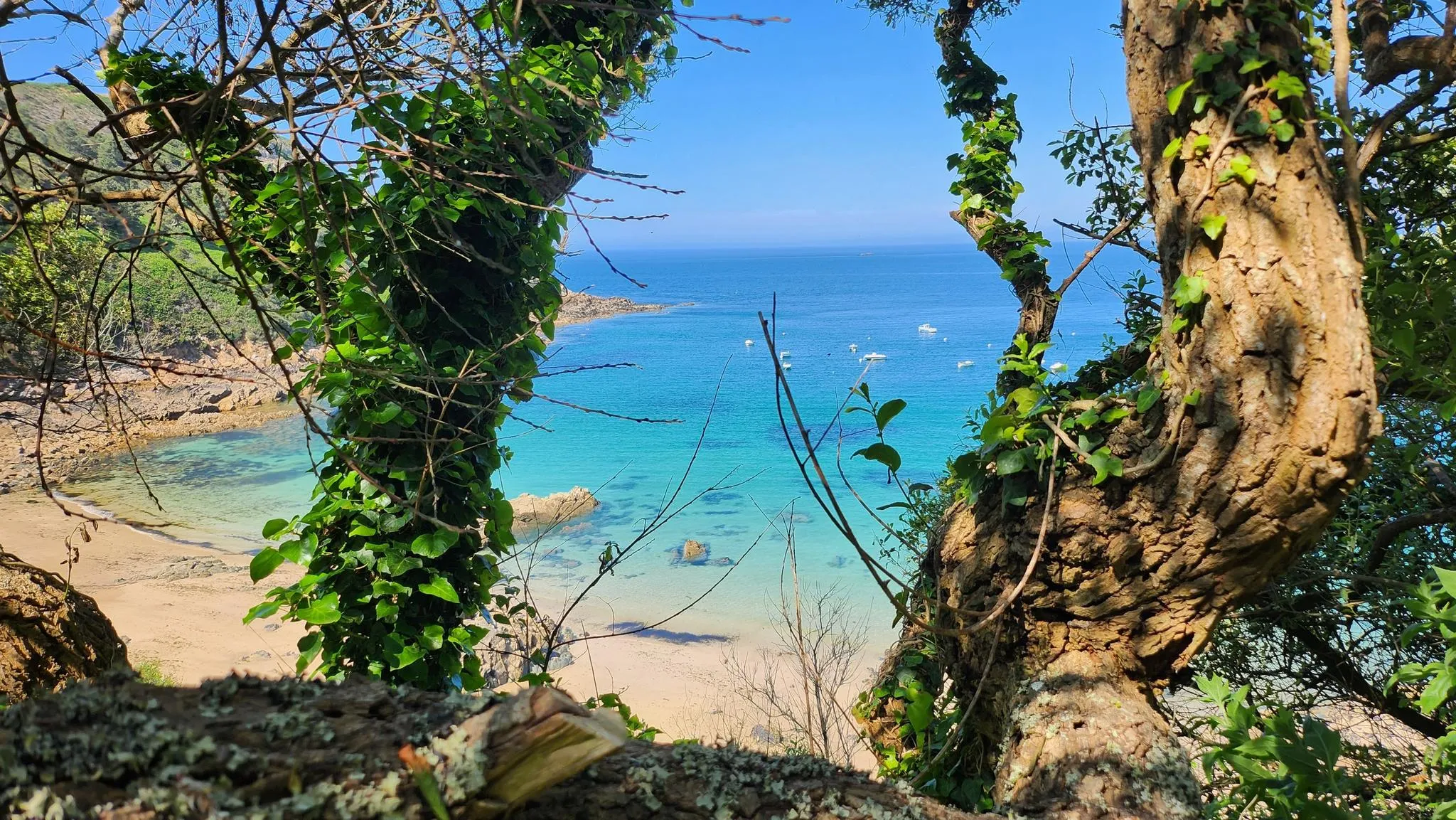
The Ti Louzou beach (or Ty Louzou), located near Plougasnou, is a small, intimate cove mixing sand and pebbles. Well sheltered and facing due south at the end of a small dead end, it is a peaceful and confidential haven appreciated by locals, ideal for relaxing quietly facing the bay of Morlaix.
1
0

Here, oysters are freshly caught and prepared for resale.
0
0
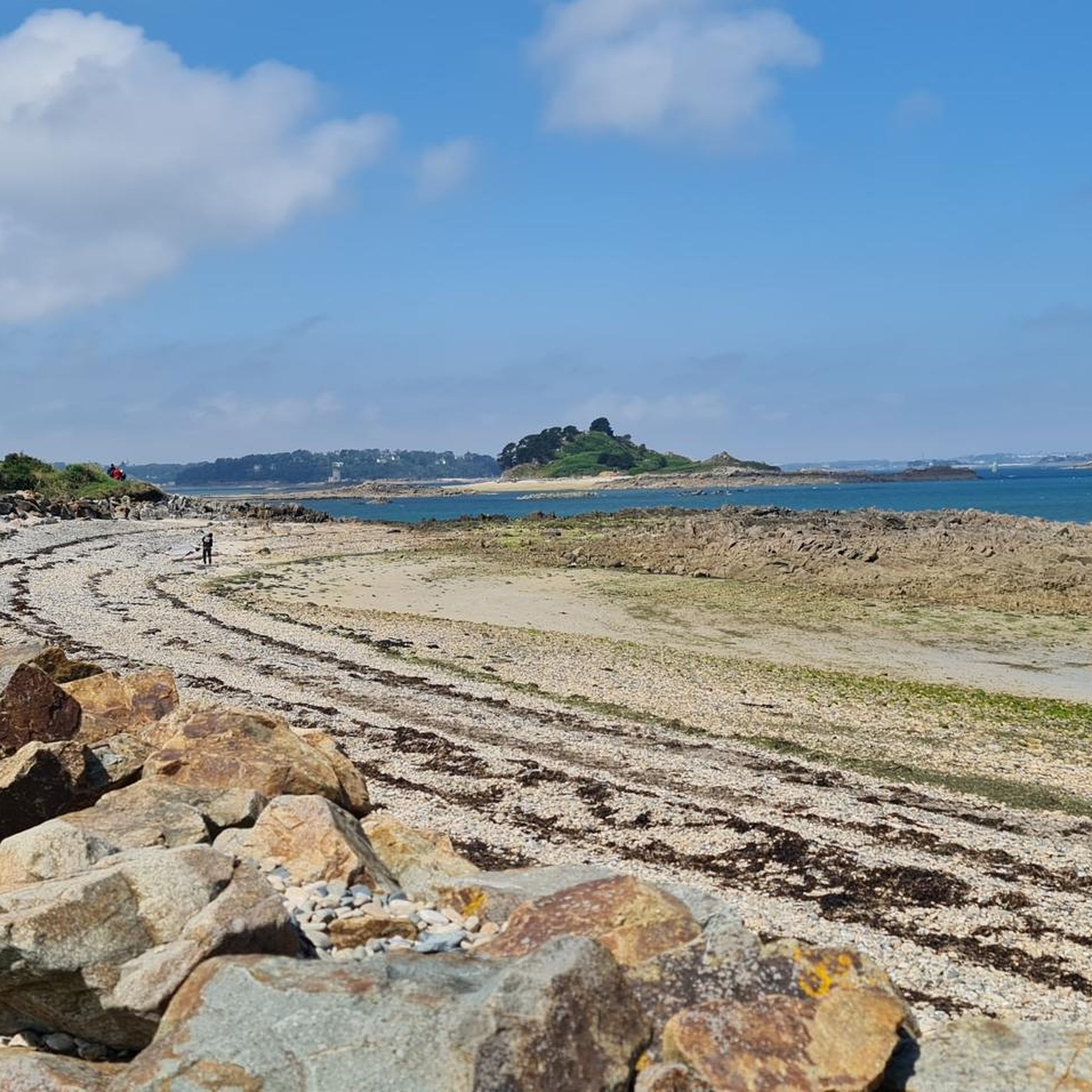
View of the former prison Chateau du Taureau
0
0
Frequently Asked Questions
How many hiking trails are available around Plougasnou?
There are over 80 hiking routes in the Plougasnou area, offering a wide variety of experiences. These range from easy coastal strolls to more challenging treks along the rugged Finistère coastline.
What kind of landscapes can I expect to see while hiking in Plougasnou?
Hiking in Plougasnou offers incredibly diverse coastal landscapes. You'll experience the picturesque Morlaix Bay, dramatic headlands like Pointe de Primel and Pointe du Diben, fine sand beaches, and secluded coves. The region is also close to the famous Pink Granite Coast, adding unique geological formations to the scenery.
Are there hiking options for beginners or those looking for an easy stroll?
Yes, Plougasnou has plenty of easy hiking options. More than 50 of the routes are classified as easy, perfect for a relaxed walk. A great example is the Crevasse Cave – Primel Point loop from Primel-Trégastel, which is an easy 1.9-mile (3.1 km) path offering beautiful coastal views.
What is the best time of year to go hiking in Plougasnou?
Plougasnou is enjoyable for hiking throughout much of the year. Spring and autumn offer pleasant temperatures and fewer crowds, while summer is ideal for combining hikes with beach visits. Even winter can be beautiful, with dramatic coastal scenery, though some paths might be more exposed to wind and rain.
Are there any circular hiking routes in Plougasnou?
Yes, many of the trails in Plougasnou are circular, allowing you to start and end at the same point. For instance, the Roc'h Louët Point – GR34 Coastal Path, Plougasnou loop from Plougasnou is a popular 6.2-mile (9.9 km) circular route that takes you along the famous GR34 coastal path.
Can I bring my dog on the hiking trails in Plougasnou?
Many coastal paths and trails in Plougasnou are dog-friendly, especially if your dog is kept on a leash. However, it's always advisable to check local signage, particularly around protected natural sites or beaches, as restrictions may apply during certain seasons.
What interesting landmarks or attractions can I see along the hiking trails?
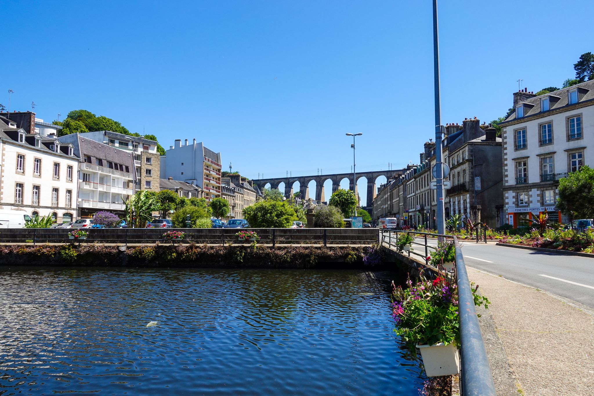
The region is rich in historical and natural landmarks. While hiking, you might encounter sights like the impressive Morlaix Viaduct, or enjoy stunning views of the Primel Point and Pointe de Diben. The historic Cairn de Barnenez, an ancient burial chamber, is also nearby and can be incorporated into longer hikes.
Are there any challenging long-distance hikes in the area?
For experienced hikers seeking a challenge, Plougasnou offers more demanding routes. The Pointe de Perhérel – View of Pointe du Diben loop from Primel-Trégastel is a difficult 13.1-mile (21.0 km) path that provides continuous, rugged coastal views and significant elevation changes.
What do other hikers enjoy the most about hiking in Plougasnou?
The area is highly rated by the komoot community, with an average score of 4.2 stars from over 300 reviews. Reviewers often praise the breathtaking coastal views, the variety of landscapes from sandy beaches to rocky headlands, and the well-maintained paths, especially sections of the GR34.
Is it possible to access hiking trails in Plougasnou using public transport?
While some villages and trailheads might be accessible by local bus services, public transport options can be limited in rural Finistère. It's often recommended to check local bus schedules in advance or consider driving to trailheads, especially for routes starting in more secluded areas.
Are there any moderate difficulty hikes that offer great views?
Absolutely. A moderate option like the View of Pointe du Diben – Roc'h Louët Point loop from Kerven is a 8.9-mile (14.3 km) route that provides excellent views of Morlaix Bay and its islands, without being overly strenuous.
Can I find trails that lead to beaches or coves for swimming?
Yes, Plougasnou's 23 kilometers of coastline feature numerous fine sand beaches and secluded coves that are often accessible via hiking trails. Beaches like Térénez, Saint Samson, and Le Guerzit are popular spots where you can combine a walk with a refreshing dip, depending on the season and tide.
Most popular routes around Plougasnou
Most popular attractions around Plougasnou

Get inspired with the komoot mobile app


Explore more
Browse the best Hikes in other regions.
