The best walks and hikes around Georfans
4.4
(42)
207
hikers
28
hikes
Hiking around Georfans offers access to the diverse natural landscapes of the Haute-Saône department in eastern France. The region features unspoiled countryside, picturesque villages, and varied terrain suitable for outdoor pursuits. Hikers can explore areas characterized by forests, meadows, and numerous ponds, particularly in the nearby Plateau des 1000 Étangs, or follow trails along the Saône river. The area also benefits from its proximity to the Southern Vosges Mountains, providing additional hiking opportunities.
Best hiking trails around Georfans
- The most…
Last updated: May 24, 2026
4.8
(5)
14
hikers
8.03km
01:41
60m
60m
Easy hike. Great for any fitness level. Easily-accessible paths. Suitable for all skill levels.
4.8
(5)
26
hikers
13.4km
03:44
240m
250m
Moderate hike. Good fitness required. Easily-accessible paths. Suitable for all skill levels.

Sign up for free
10
hikers
14.9km
04:16
360m
360m
Moderate hike. Good fitness required. Easily-accessible paths. Suitable for all skill levels.
5.0
(2)
8
hikers
Easy hike. Great for any fitness level. Easily-accessible paths. Suitable for all skill levels.
2
hikers
14.5km
03:58
230m
230m
Moderate hike. Good fitness required. Easily-accessible paths. Suitable for all skill levels.
Get access to more routes and recommendations from other explorers.
Sign up for free
Already have an account?
Our route recommendations are based on thousands of hikes, rides, and runs completed by other people on komoot.
Start today with a free account
Your next adventure awaits.
Login or Signup

Tips from the Community

There is a market here every other Wednesday.
1
0


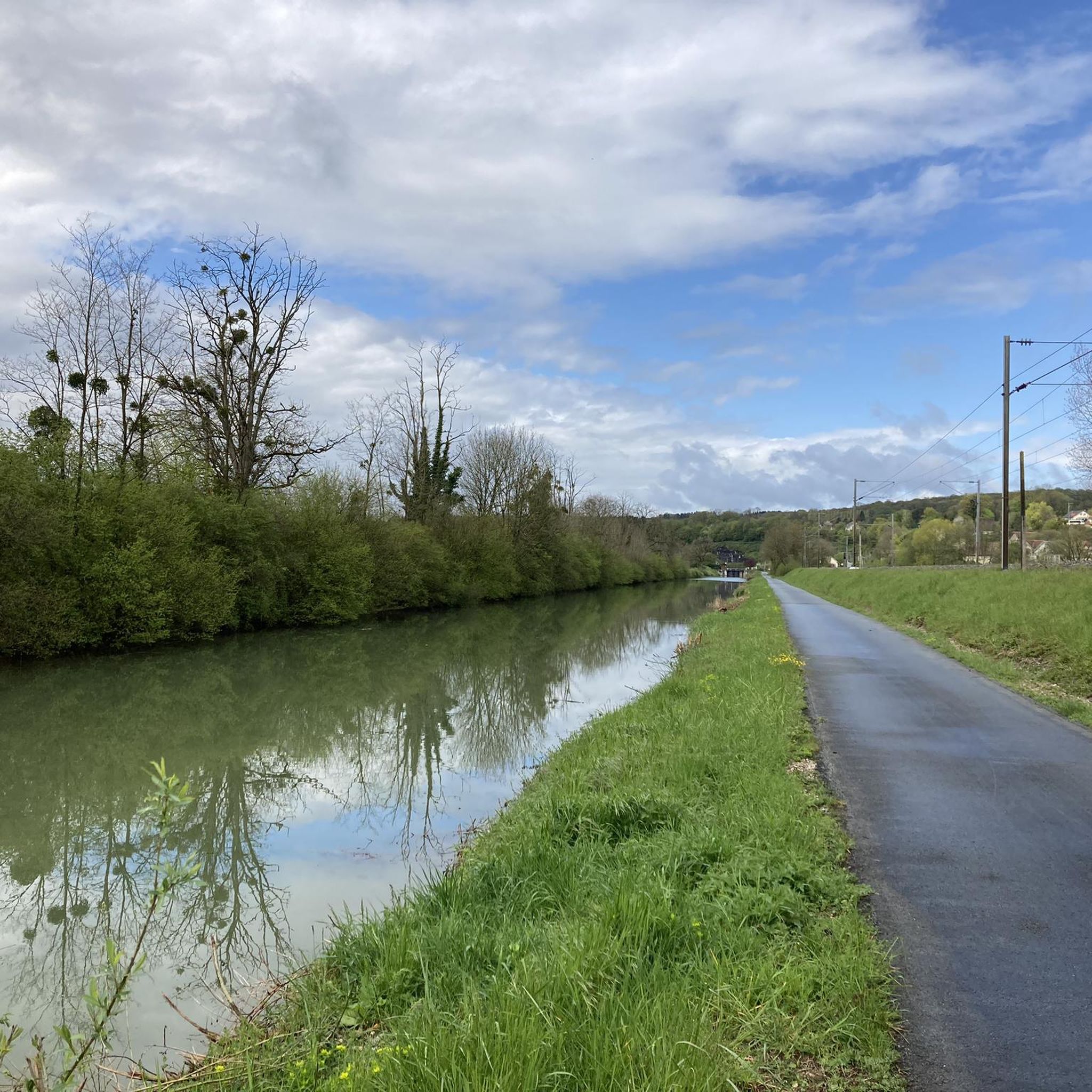
The Tacot route follows the former route of a secondary railway line that connected Troyes to Saint-Florentin. Commissioned at the beginning of the 20th century, it was used to transport passengers and rural goods. This section follows the Rognon River, through the middle of the forest.
1
0
La Vergenne is a former industrial estate linked to pottery, located near Athesans. It still boasts a 19th-century kiln, typical of the region, as well as several buildings related to production.
1
0
Athesans, a former pottery village, is characterized by this artisanal expertise. Kilns, traditional buildings, and remains related to ceramics production can still be found there.
1
0

The church is definitely worth a visit because of the colorful and bright windows. The church once served as a prison camp for German soldiers.
1
0

Viewpoint allowing you to admire the foothills of the Vosges and N.-D.-du-Haut de Ronchamp. Orientation table.
0
0
Of the old church built in 1566, only the tower and a secondary chapel escaped destruction following a fire in the 1850s and fighting during the Second World War.
0
0
Frequently Asked Questions
How many hiking trails are available around Georfans?
There are over 25 hiking routes available around Georfans, offering a variety of experiences. These trails range from easy walks through the local countryside to more moderate paths exploring historical sites and elevated terrain.
What types of landscapes can I expect to see while hiking near Georfans?
Hiking around Georfans offers diverse natural landscapes typical of the Haute-Saône department. You can expect unspoiled countryside, picturesque villages, and varied terrain including forests, meadows, and numerous ponds, especially in areas like the nearby Plateau des 1000 Étangs, often called 'Little Finland'. Trails also follow the Saône river, showcasing rich fauna and flora.
Are there easy hiking options suitable for beginners or casual walkers?
Yes, there are 11 easy hiking routes around Georfans. An excellent option for a gentle introduction to the area's natural beauty is the Tacot trail, which is 5.0 miles (8.0 km) long and takes about 1 hour 41 minutes to complete.
Can I find moderate or more challenging hikes in the Georfans area?
Absolutely. The region offers 13 moderate routes and 2 more difficult options. For a moderate hike that combines historical sites with varied landscapes, consider the Gouhenans Castle – La Planche Vellefaux loop from Villafans, an 8.5-mile (13.7 km) path. For panoramic views, the Grammont Mound loop from Fallon is a 9.3-mile (14.9 km) moderate trail.
What interesting landmarks or attractions can I discover along the trails near Georfans?
While hiking near Georfans, you can encounter several interesting landmarks. For instance, the region features historical sites like the Château de Villersexel. You might also come across natural features such as the Gonvillars Cave or picturesque bridges like the Bridge Over the Ognon.
Are there any circular hiking routes around Georfans?
Yes, many of the trails in the Georfans area are designed as circular routes, allowing you to start and end at the same point. For example, the Saint-Nicolas Church – Château de Villersexel loop from Villersexel is an easy 7.5 km circular hike, and the Grotte de la Malatière loop from Accolans offers a moderate 14.5 km circular experience.
What do other hikers say about the trails in Georfans?
The hiking trails around Georfans are highly rated by the komoot community, with an average score of 4.5 stars from over 30 reviews. Hikers often praise the unspoiled landscapes, picturesque villages, and the diverse forest and river paths that define the region.
Is the Haute-Saône region, where Georfans is located, known for any specific natural features?
Yes, the Haute-Saône region is particularly known for the 'Plateau des 1000 Étangs' (Plateau of 1000 Ponds), often nicknamed 'Little Finland' due to its enchanting landscape of forests, meadows, and numerous ponds. Its proximity to the Jura Mountains also means you might encounter geological features like caves and chasms.
Are there opportunities for wildlife spotting during hikes in the Georfans area?
The diverse and unspoiled natural landscapes of the Haute-Saône, including the forests and riverbanks of the Val de Saône, provide habitats for rich fauna and flora. While specific wildlife sightings are never guaranteed, the serene environment offers good opportunities for nature observation.
What is the best time of year to go hiking around Georfans?
The Haute-Saône region generally offers pleasant hiking conditions throughout spring, summer, and autumn. Spring brings blooming nature, summer provides warmth for longer days, and autumn showcases beautiful foliage. While winter hiking is possible, conditions can vary, so checking local weather is always recommended.
Are there any pilgrimage paths or historical routes in the wider Haute-Saône area?
Yes, the broader Haute-Saône region is known for its historical routes, including sections of pilgrimage paths like the Via Francigena and the Pilgrim's Way to Santiago de Compostela. These trails offer a unique blend of natural beauty and cultural heritage.
Most popular attractions around Georfans

Get inspired with the komoot mobile app


Explore more
Browse the best Hikes in other regions.
