The best walks and hikes around Magnoncourt
4.1
(141)
568
hikers
55
hikes
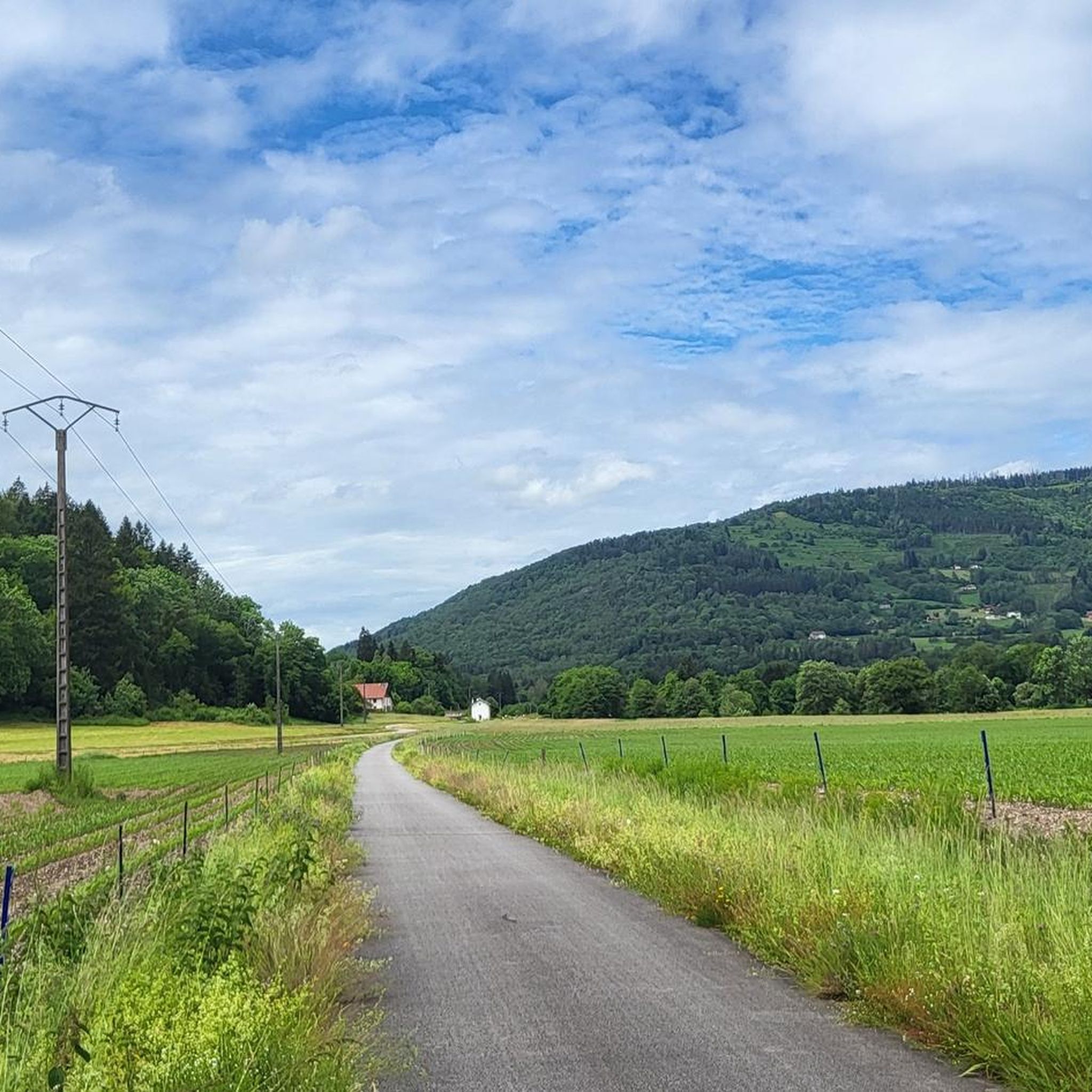
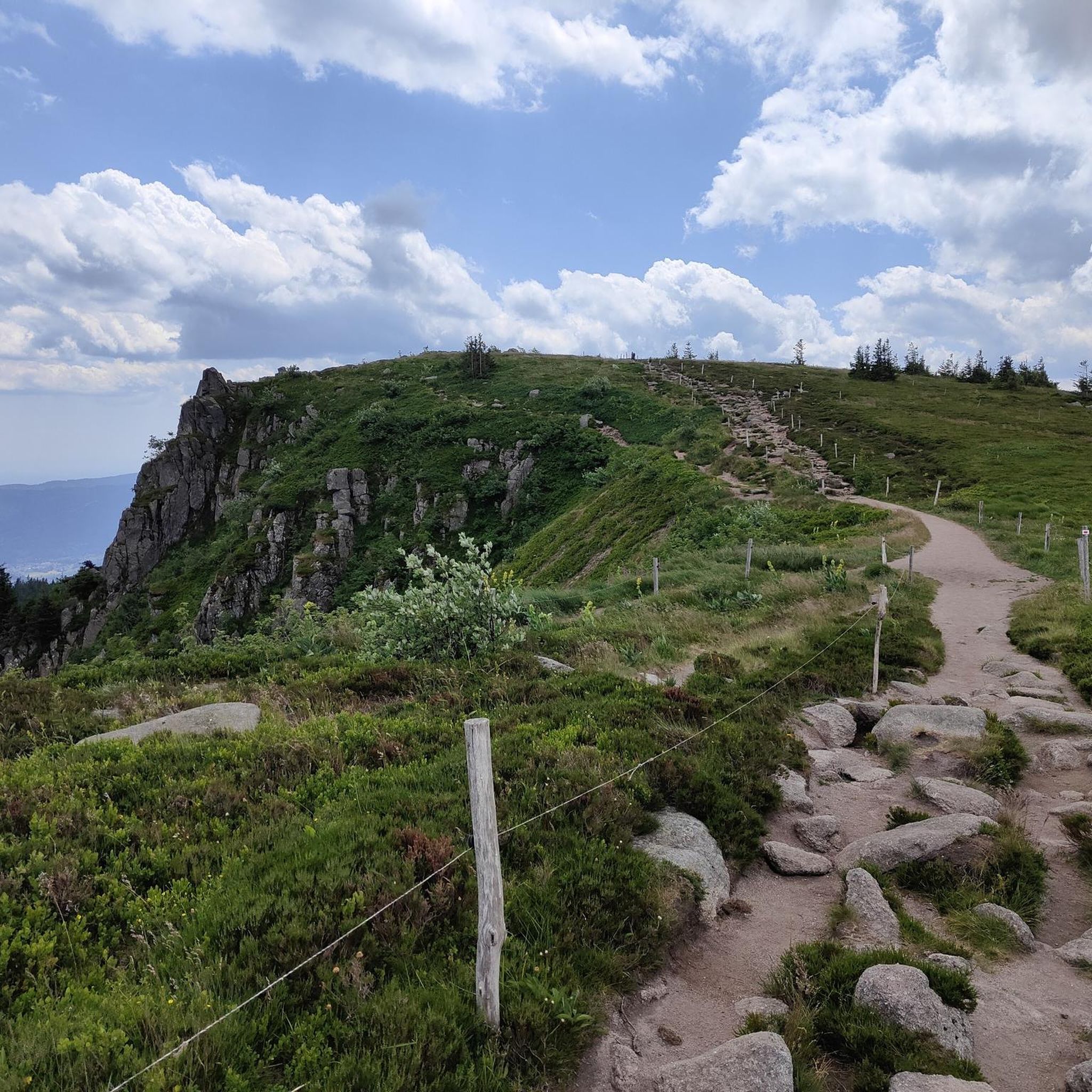
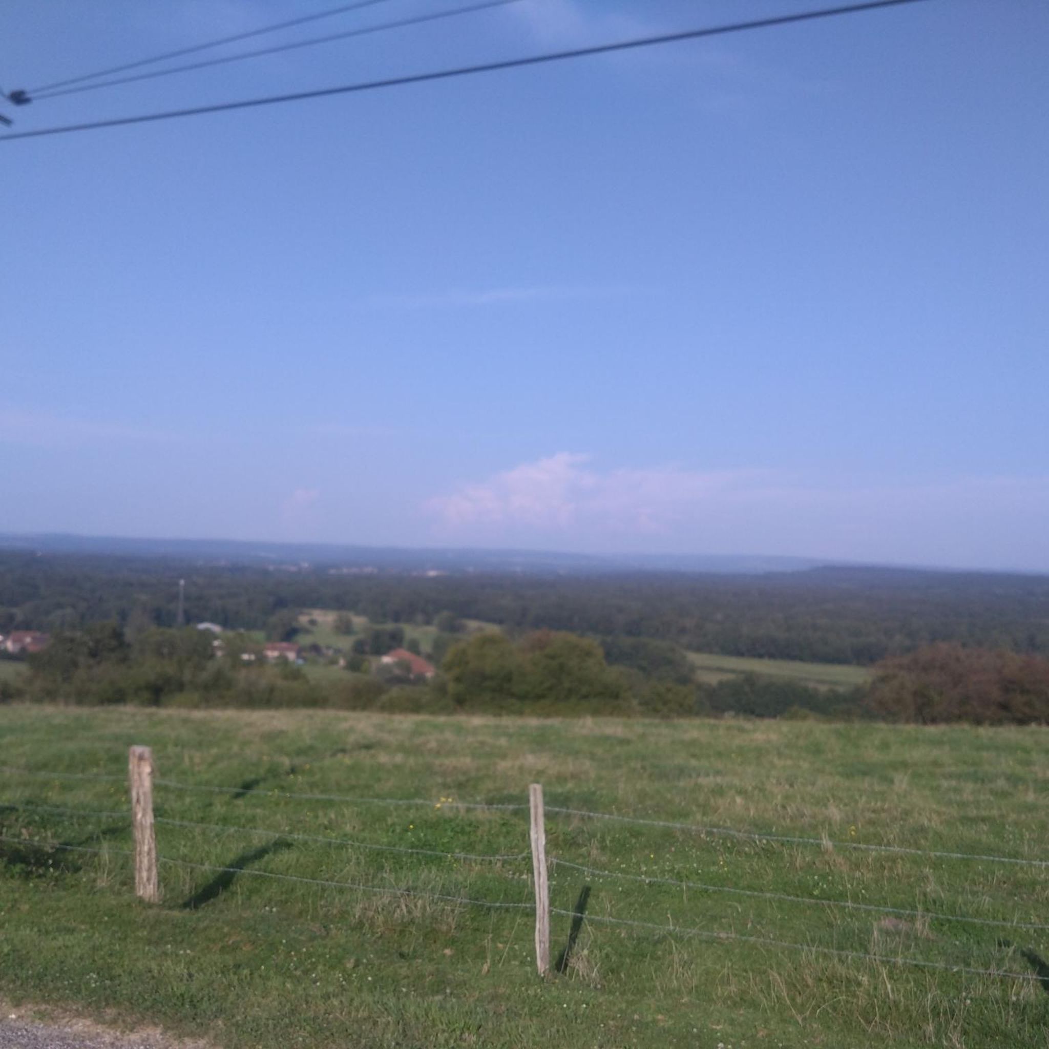
Hiking around Magnoncourt offers access to the diverse natural landscapes of the Haute-Saône department within the Burgundy-Franche-Comté region of France. The area is characterized by extensive forested areas, varied terrain including bocage and elevated routes, and proximity to natural features like the Southern Vosges. Hikers can explore a network of marked trails that wind through deciduous forests, open fields, and gentle plains. This region provides a range of environments suitable for different hiking preferences.
Best hiking trails around Magnoncourt
- The…
Last updated: May 24, 2026
4.2
(15)
67
hikers
8.95km
02:23
100m
100m
Moderate hike. Good fitness required. Easily-accessible paths. Suitable for all skill levels.
3.3
(12)
52
hikers
8.61km
02:20
120m
120m
Moderate hike. Good fitness required. Easily-accessible paths. Suitable for all skill levels.

Sign up for free
3.1
(10)
44
hikers
6.21km
01:41
80m
80m
Easy hike. Great for any fitness level. Easily-accessible paths. Suitable for all skill levels.
2.9
(10)
20
hikers
14.2km
03:42
100m
100m
Moderate hike. Good fitness required. Easily-accessible paths. Suitable for all skill levels.
4.0
(3)
4
hikers
6.03km
01:39
100m
100m
Easy hike. Great for any fitness level. Easily-accessible paths. Suitable for all skill levels.
Get access to more routes and recommendations from other explorers.
Sign up for free
Already have an account?
Our route recommendations are based on thousands of hikes, rides, and runs completed by other people on komoot.
Start today with a free account
Your next adventure awaits.
Login or Signup

Tips from the Community

The closer you get to the actual source, the stronger the blue color of the crystal clear water becomes!
7
0

Fantastic to enjoy this piece of nature quietly!
1
0

A true mystery of life. This pond is actually a sinkhole, but instead of being bottomless, it is only 35m deep. Its crystalline turquoise hues hide a mystery: the water remains at a mild temperature of 11°c, summer and winter alike.
2
0
A true mystery of life. This pond is actually a sinkhole, but instead of being bottomless, it is only 35m deep. Its crystalline turquoise hues hide a mystery: the water remains at a mild temperature of 11°c, summer and winter alike.
4
0


Frequently Asked Questions
How many hiking trails are available around Magnoncourt?
There are over 50 hiking routes around Magnoncourt, offering a wide variety of experiences. The komoot community has extensively explored these trails, contributing over 130 reviews and helping more than 500 hikers discover the area.
What kind of landscapes and terrain can I expect on hikes near Magnoncourt?
Hiking around Magnoncourt offers a diverse natural landscape, characterized by extensive forested areas, varied terrain including bocage (a landscape of mixed woodland and pasture), and gentle plains. You'll find trails winding through deciduous forests, open fields, and elevated routes, providing a blend of environments suitable for different hiking preferences. The region is also close to the Southern Vosges, adding to its natural appeal.
Are there easy hikes suitable for beginners or families?
Yes, Magnoncourt offers plenty of options for easy hikes. Approximately 30 of the available routes are classified as easy. For example, the Le Planey – Planey Spring loop from Anjeux is an easy 3.9-mile (6.2 km) trail that takes about 1 hour 40 minutes to complete, leading through forests and open fields near the Planey Spring. Another accessible option is the Grotto of the Virgin Mary loop from Le Clerjus, which is also rated easy.
What natural features or landmarks can I see while hiking near Magnoncourt?
The region around Magnoncourt is rich in natural beauty. You can explore the Planey Spring, a notable natural highlight. Further afield, the area provides access to the stunning landscapes of the Parc Naturel Régional des Ballons des Vosges, including the picturesque 'Plateau des 1000 Étangs'. The impressive Cascade de la Pissoire and the scenic Ballon d'Alsace are also within reach, offering additional natural attractions for those willing to venture a bit further.
Are there any circular walks available in the area?
Yes, many of the trails around Magnoncourt are designed as circular routes, perfect for returning to your starting point. Popular options include the Source du Planey — loop from Bouligney, which is a moderate 5.6-mile (9.0 km) trail, and the Beautiful picnic area – Le Planey loop from Bouligney, another moderate loop offering views of the Planey Spring.
What do other hikers enjoy most about hiking in Magnoncourt?
The hiking routes in Magnoncourt are highly rated by the komoot community, with an average score of 4.1 stars. Hikers often praise the diverse natural landscapes, the extensive forested areas, and the varied terrain that provides options for both easy walks and moderate excursions. The well-maintained network of trails is also frequently highlighted.
Are there any longer or more challenging hikes for experienced hikers?
While Magnoncourt doesn't feature trails classified as 'difficult' in our current data, there are 24 moderate routes that offer a greater challenge than the easy options. For instance, the Beautiful picnic area – Le Planey loop from Saint-Loup-sur-Semouse is a moderate 8.8-mile (14.2 km) route that takes over 3.5 hours to complete, providing a longer excursion through the region's varied terrain.
Can I bring my dog on the hiking trails?
The natural environment around Magnoncourt, with its extensive forests and open fields, is generally welcoming for dogs. However, it's always recommended to check local signage for specific restrictions, especially in protected areas or near agricultural land, and to keep your dog on a leash where required to protect wildlife and livestock.
What is the best time of year to go hiking in Magnoncourt?
The region's blend of rivers, meadows, and forests makes it enjoyable throughout much of the year. Spring and autumn offer pleasant temperatures and beautiful scenery, with vibrant foliage in autumn. Summer is also suitable, though it can be warmer, making shaded forest trails particularly appealing. Winter hiking is possible, but conditions can vary, so checking local weather is advisable.
Are there any historical points of interest near the hiking routes?
Yes, beyond the natural beauty, the area has some historical significance. You can find highlights like The Royal Factory of Bains-les-Bains, which offers a glimpse into the region's industrial past. Additionally, the Canal breakthrough in Montmotier and the Canal des Vosges are interesting features that hikers might encounter, showcasing historical engineering within the landscape.
Most popular attractions around Magnoncourt

Get inspired with the komoot mobile app


Explore more
Browse the best Hikes in other regions.
