The best walks and hikes around Confort-Meilars
4.6
(1199)
7,418
hikers
286
hikes
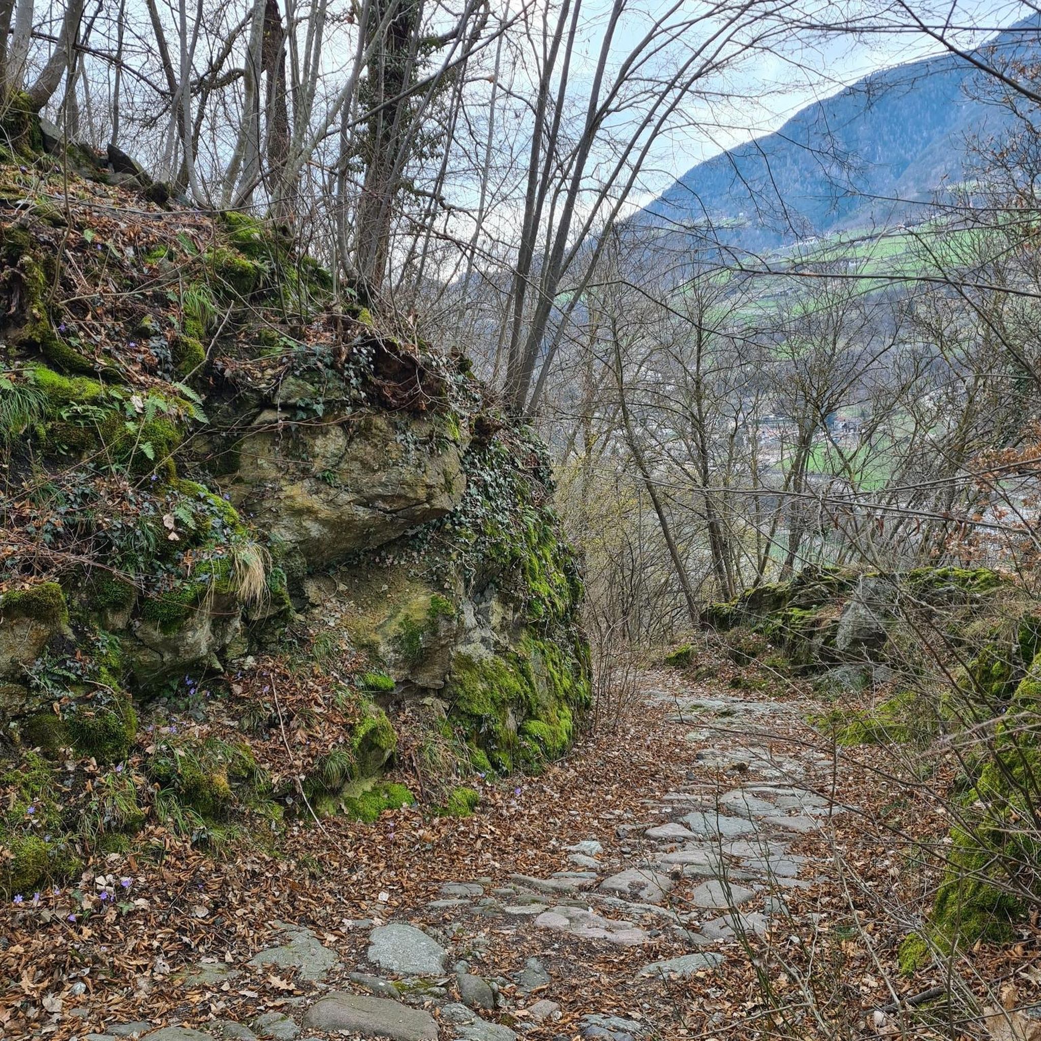
Hiking around Confort-Meilars offers diverse landscapes, from serene river valleys to dramatic coastal environments. The region is characterized by the Goyen River Valley, featuring sunken paths and rich biodiversity, alongside extensive wooded areas. Proximity to the coast provides access to rugged shorelines and the larger GR34 trail network.
Best hiking trails around Confort-Meilars
- The most popular hiking route is Coastal Circuit via Pointe de la Jument, an 8.8 miles (14.2 km) trail that takes 3 hours 47 minutes to complete. This moderate route offers coastal views near Poullan-sur-Mer.
- Another top favourite among local hikers is Millier Lighthouse – Millier Lighthouse Beach loop from Poullan-sur-Mer, a moderate 11.4 miles (18.3 km) path. This trail explores coastal scenery and passes by the Millier Lighthouse.
- Local hikers also love the Rugged Coast – Pointe de la Jument loop from Poullan-sur-Mer, a 6.8 miles (10.9 km) trail leading through varied coastal terrain, often completed in about 2 hours 56 minutes.
- Hiking around Confort-Meilars is defined by serene river valleys, lush woodlands, and dramatic coastal paths. The network offers options for different ability levels, from easy walks to more challenging routes.
- The routes in Confort-Meilars are highly rated by the komoot community with an average score of 4.6 stars from over 1100 reviews. More than 7600 hikers have used komoot to explore Confort-Meilars's varied terrain.
Last updated: June 26, 2026
4.6
(8)
43
hikers
14.2km
03:47
160m
160m
Hike the moderate 8.8-mile Coastal Circuit via Pointe de la Jument for dramatic coastal views and diverse terrain near Poullan-sur-Mer.
4.3
(3)
14
hikers
12.3km
03:18
150m
150m
Moderate hike. Good fitness required. Easily-accessible paths. Suitable for all skill levels.

Sign up for free
3.7
(3)
11
hikers
7.01km
01:52
70m
70m
Easy hike. Great for any fitness level. Easily-accessible paths. Suitable for all skill levels.
6
hikers
Moderate hike. Good fitness required. Easily-accessible paths. Suitable for all skill levels.
3.7
(3)
7
hikers
Moderate hike. Good fitness required. Easily-accessible paths. Suitable for all skill levels.
Get access to more routes and recommendations from other explorers.
Sign up for free
Already have an account?
Our route recommendations are based on thousands of hikes, rides, and runs completed by other people on komoot.
Start today with a free account
Your next adventure awaits.
Login or Signup
Tips from the Community


The Chapel of Notre-Dame-de-Kérinec was built around 1280 on a spring (now a holy well) that appears to have previously been a pagan place of worship. A menhir and a dolmen are nearby, 500 meters to the east. The interior architecture is characteristic of the so-called Ecole de Pont-Croix style. The exterior was remodeled in the late 14th or 15th century. Source and more information: https://fr.wikipedia.org/wiki/Chapelle_Notre-Dame-de-K%C3%A9rinec A beautiful place, also suitable for a break. The detour to the dolmen and the menhir is also worth making.
2
1
The church can be visited and it is very worthwhile. "The late Gothic house of worship Notre-Dame was built between 1528 and 1544 by Alain de Rosmadec and his wife Jeanne du Chastel as a three-nave church with a three-sided choir closure. The three-bay nave opens into the side aisles through wide arcade arches. Above the west portal is the slender, roof-ridge-like bell tower, characteristic of the region, which is executed in fine tracery. The current appearance of the tower is the result of work between 1711 and 1736. The church has been a parish church since 1910. Inside, the church has a rare 16th-century wheel-shaped carillon, which is classified as a historic monument as a unique object. The heads of the twelve apostles on the Calvary hill in front of the church were cut off during the French Revolution and buried nearby. They were rediscovered in 1849, restored, and inserted into the west facade of the church. Around 1870, the Calvary hill itself was provided with new statues and the crucifix." https://de.wikipedia.org/wiki/Notre-Dame_(Confort-Meilars)
4
0
A beautiful stone church in a cemetery. Apparently, the church can't be visited inside. At least, I haven't found any information about it.
2
1
The menhir stands right by the road. Just a few steps into the woods and you can also see a dolmen. It's worth a look. About 500 meters to the west, a church was built around 1280 near a spring where a pagan sanctuary had previously stood. The place has therefore likely been considered a magical/sacred site since the Neolithic period.
2
0

There's something magical about this place—the view, the wind, and the sound of the sea. A feeling of having encountered eternity. We enjoyed it very much, even though we were almost alone.
0
0

The korrigans are small legendary creatures from Brittany. This circuit that bears their name runs along the coastline to discover remarkable coves, dunes and rocks.
1
0

This covered arched path retains part of its mound, supporting stones and its subdivision into a room and extreme cell. It was erected in the final Neolithic around 3500-2000 BC. It is 12 m long. This type of covered walkway is not very common.
2
1
Frequently Asked Questions
How many hiking trails are available around Confort-Meilars?
There are over 270 hiking routes available around Confort-Meilars, catering to various skill levels. This includes 147 easy routes, 116 moderate routes, and 13 difficult routes, ensuring options for everyone from beginners to experienced hikers.
What kind of terrain can I expect on hikes in Confort-Meilars?
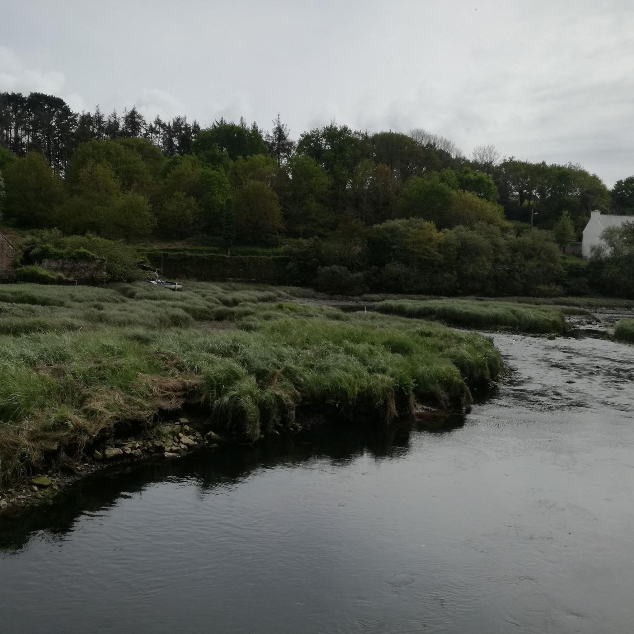
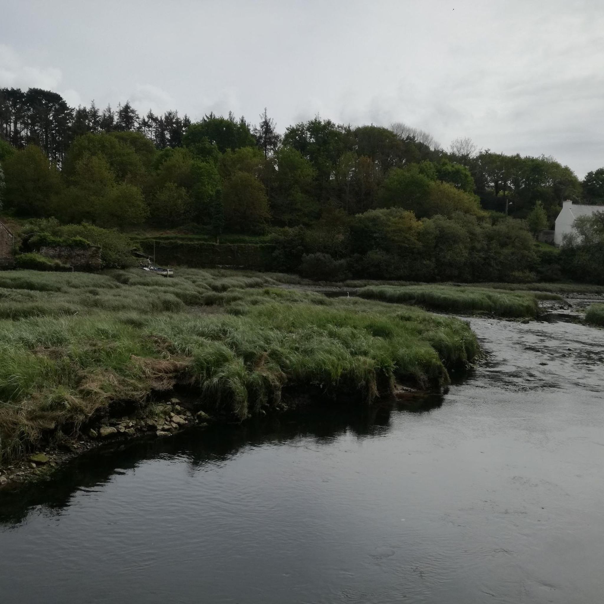
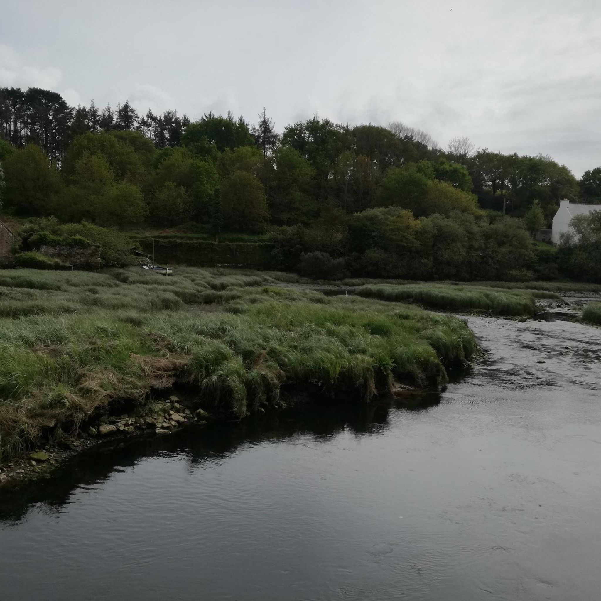
The terrain around Confort-Meilars is quite diverse. You'll find serene river valleys, lush woodlands with traditional "sunken paths," and dramatic coastal paths. These paths often feature a mix of natural surfaces, offering a characteristic Breton countryside experience.
Are there any family-friendly hiking options in Confort-Meilars?
Yes, Confort-Meilars offers many family-friendly hiking options. With 147 easy routes, you can find trails suitable for all ages. These often traverse wooded areas or follow the Goyen River Valley, providing gentle paths and opportunities to explore nature.
Can I bring my dog on the hiking trails in Confort-Meilars?
While specific regulations can vary, generally, dogs are welcome on many hiking trails in Confort-Meilars, especially in natural areas like the Goyen River Valley and wooded paths. It's always recommended to keep them on a leash and respect local signage, particularly in protected areas or near livestock.
Are there circular hiking routes available in Confort-Meilars?
Yes, many of the hiking routes around Confort-Meilars are circular, allowing you to start and end at the same point. For example, the Millier Lighthouse – Millier Lighthouse Beach loop from Poullan-sur-Mer is a popular moderate circular trail exploring coastal scenery.
What natural features can I discover while hiking in the region?
The region is rich in natural features. You can explore the Goyen River Valley with its sunken paths and diverse biodiversity, including ash trees, marsh thistles, and various wildlife. The area also boasts extensive wooded areas, streams like the Ruisseau Lochrist, and dramatic coastal landscapes, often part of the larger GR34 trail network.
Are there historical or cultural landmarks to see along the trails?
Absolutely. Many hiking routes pass by significant historical and cultural points of interest. You might encounter the Chapelle de Kérinec, the Église Notre-Dame and Église Saint-Meilhars, or impressive calvaries like the "Calvaire des Treize Apôtres." Some trails also offer glimpses of former mills and the forge museum, providing insight into local heritage. You can also visit highlights like the Saint Tugen Chapel or the Pointe du Souc’h Megalithic Necropolis.
Where can I park when starting a hike in Confort-Meilars?
Parking availability varies by trailhead. For coastal routes, you'll often find designated parking areas near popular starting points like Poullan-sur-Mer. For inland trails, parking might be available in village centers or small car parks near trail access points. It's advisable to check specific route details on komoot for recommended parking locations.
What is the best time of year to go hiking in Confort-Meilars?
Confort-Meilars offers enjoyable hiking throughout much of the year. Spring and autumn provide pleasant temperatures and beautiful scenery, with blooming wildflowers or vibrant fall foliage. Summer is also popular, especially for coastal walks, though it can be busier. Even winter offers opportunities for quiet walks, particularly in the sheltered wooded areas.
What do other hikers say about the trails in Confort-Meilars?
The routes in Confort-Meilars are highly rated by the komoot community, with an average score of 4.6 stars from over 1100 reviews. Hikers often praise the diverse landscapes, from the tranquil river valleys to the stunning coastal views, and appreciate the variety of options for different skill levels.
How long do hikes typically take around Confort-Meilars?
Hikes around Confort-Meilars vary greatly in length and duration. You can find shorter walks that take an hour or two, while longer routes like the Coastal Circuit via Pointe de la Jument (14.2 km) typically take around 3 hours 47 minutes. The longest routes can extend to 18-20 km, requiring 5-6 hours or more.
Are there any challenging hikes for experienced hikers?
Yes, for experienced hikers seeking a challenge, there are 13 difficult routes available. These trails often feature longer distances and more significant elevation changes. An example is the Millier Lighthouse – View of Pors-Peron Beach loop from Poullan-sur-Mer, which is nearly 20 km long and classified as difficult.
Most popular routes around Confort-Meilars
Most popular attractions around Confort-Meilars

Get inspired with the komoot mobile app


Explore more
Browse the best Hikes in other regions.
