The best walks and hikes around Ploufragan
4.6
(970)
5,280
hikers
18
hikes
Hiking around Ploufragan offers diverse landscapes, including green valleys, preserved natural spaces, and accessible trails. The region features picturesque water bodies like Kerne Uhel Lake and Saint-Barthélémy Lake, alongside wooded areas and open fields. Hikers can explore varied terrain, from lush valleys to areas near the impressive Gouët Dam, with routes catering to different preferences.
Best hiking trails around Ploufragan
- The most popular hiking route is Saint-Barthélémy Dam – Pont Noir South Section loop from La Méaugon, a 4.4 miles (7.1 km) trail that takes 1 hour 54 minutes to complete. This easy route explores the area around the Saint-Barthélémy Dam.
- Another top favourite among local hikers is Pont Noir South Section – Saint-Barthélémy Dam loop from Bien-Assis, a moderate 8.5 miles (13.7 km) path. This route offers a longer exploration of the dam and Pont Noir areas, traversing varied terrain.
- Local hikers also love the Pont Noir South Section – Saint-Barthélémy Dam loop from La Méaugon, a 7.2 miles (11.5 km) trail leading through the landscapes surrounding the dam, often completed in about 3 hours 8 minutes.
- Hiking around Ploufragan is defined by green valleys, lakes, and woods, with some routes offering views of the Gouët Dam. The network offers options for different ability levels, including easy and moderate trails.
- The routes in Ploufragan are highly rated by the komoot community with an average score of 4.5 stars from over 800 reviews. More than 4000 hikers have used komoot to explore Ploufragan's varied terrain.
Last updated: June 25, 2026
4.6
(56)
208
hikers
Easy hike. Great for any fitness level. Easily-accessible paths. Suitable for all skill levels.
4.5
(18)
46
hikers
9.95km
02:40
120m
120m
Moderate hike. Good fitness required. Easily-accessible paths. Suitable for all skill levels.

Sign up for free
5.0
(9)
29
hikers
13.7km
03:39
160m
160m
Moderate hike. Good fitness required. Easily-accessible paths. Suitable for all skill levels.
5.0
(5)
19
hikers
11.5km
03:09
170m
170m
Moderate hike. Good fitness required. Easily-accessible paths. Suitable for all skill levels.
5.0
(4)
20
hikers
7.39km
01:58
80m
80m
Easy hike. Great for any fitness level. Easily-accessible paths. Suitable for all skill levels.
Get access to more routes and recommendations from other explorers.
Sign up for free
Already have an account?
Our route recommendations are based on thousands of hikes, rides, and runs completed by other people on komoot.
Start today with a free account
Your next adventure awaits.
Login or Signup
Tips from the Community

You can also reach the station as a pedestrian via the bridge.
0
0


The Gouédic Valley Park is a veritable green lung located in the heart of the city. 35 m high, the Toupin bridge, built by Louis Harel de la Noë and listed as a Historic Monument, connected Saint-Brieuc to Moncontour at the beginning of the 20th century, in the era of the railways. Photo credit: Emmanuel Berthier
0
0
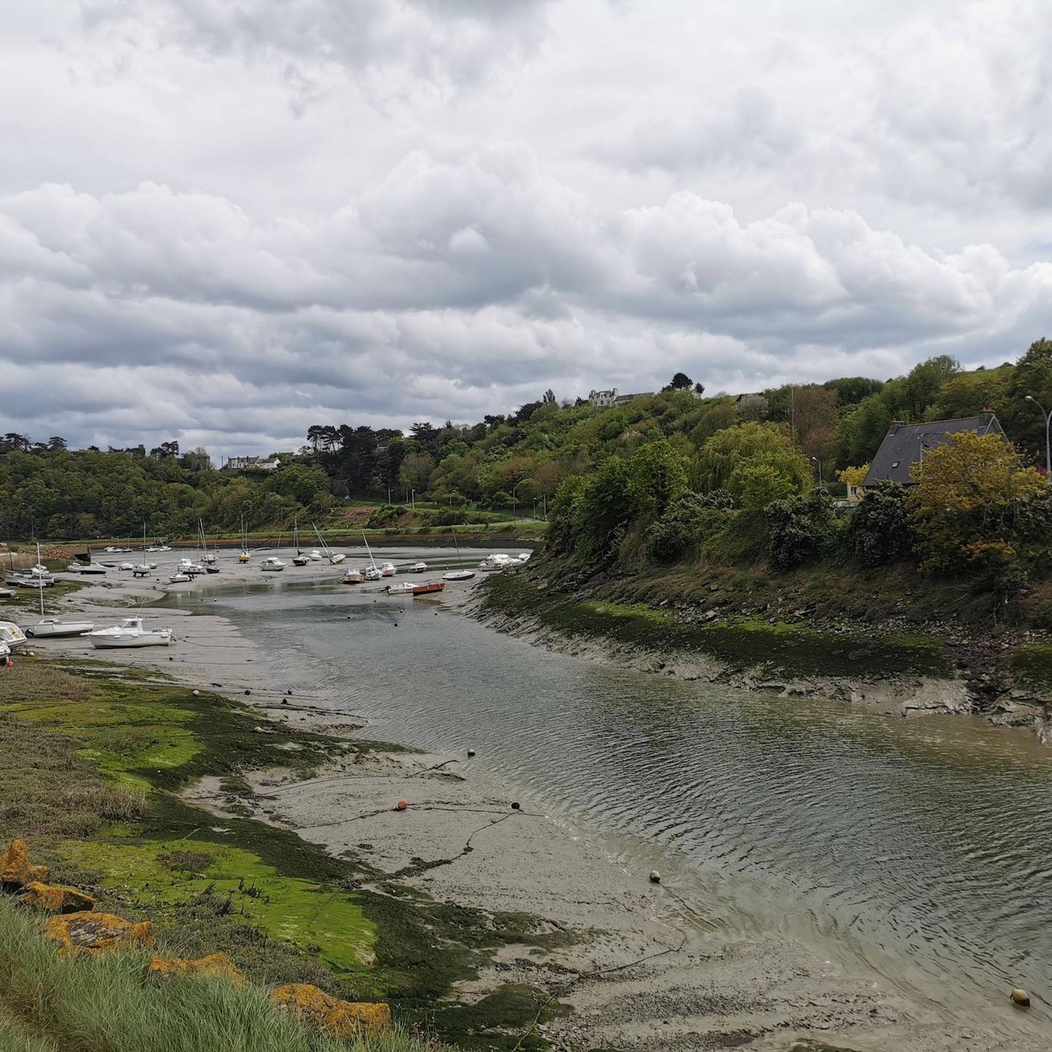
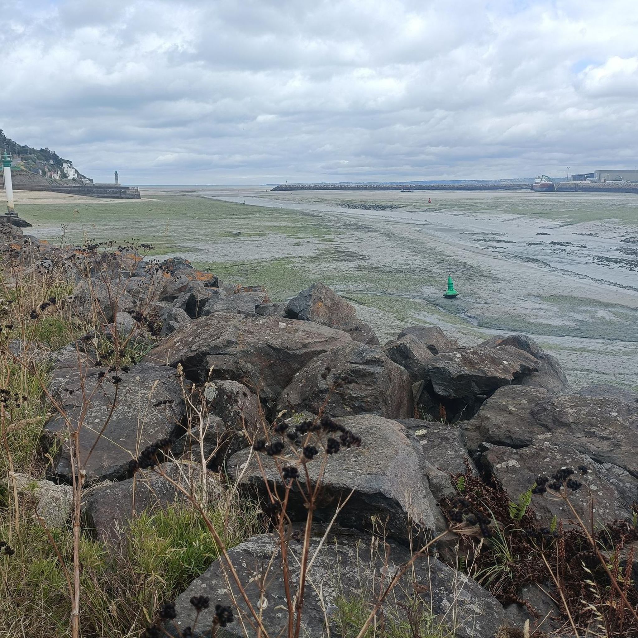
Since the cod fishing campaigns in Newfoundland, the Légué has experienced industrialization and then pleasure boating. The port can accommodate boats over 1.5 km, from the stone bridge to the swing bridge. The quays now developed invite you to take a stroll. Photo credit: Emmanuel Berthier
0
0
On the left of the trail, do not miss the viewpoint of the viaduct. Stay on the same trail until you reach the road. Take the path that runs alongside it on the left. At the fork, continue straight on the grassy path. Go around the playgrounds on the left to reach the library. Take the street on your right. Photo credit: Emmanuel Berthier
0
0

It is here that the Gouédic passes under the splendid Toupin viaduct. This work from the beginning of the 20th century, named after its architect, was built for railway use. A few decades later, when the car became the main means of transport, the viaduct was transformed and largely made ugly. In 2013, a restoration campaign made the viaduct an architectural jewel. It was included the following year on the list of historic monuments.
1
0


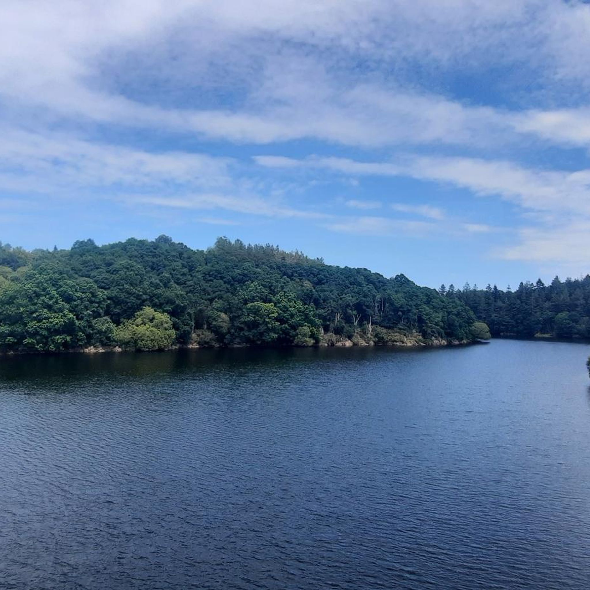
From the dam you have a great view over the lake and into the valley of the Gouet. You can start great tours around the lake from the nearby hiking car park (up to 2.00 m)!
0
0
Frequently Asked Questions
What kind of terrain can I expect on hiking trails around Ploufragan?
Hiking around Ploufragan offers a diverse landscape. You'll find routes traversing green valleys, woods, and open fields, often alongside picturesque water bodies like Kerne Uhel Lake and Saint-Barthélémy Lake. Some trails also feature views of the impressive Gouët Dam, while others provide access to unique geological formations or even coastal vistas a short distance away.
Are there many easy hiking trails suitable for beginners in Ploufragan?
Yes, Ploufragan is very welcoming for beginners. Out of the 16 available hiking routes, 9 are classified as easy. These trails are generally shorter and have minimal elevation gain, making them perfect for a relaxed stroll. An example is the Pont Noir South Section loop from La Méaugon, which is an easy 7.4 km path.
What natural features or landmarks can I see while hiking in Ploufragan?
Ploufragan's trails often lead you through the beautiful Goëlo Valley, a green corridor with preserved flora. You can also explore areas around Kerne Uhel Lake and Saint-Barthélémy Lake, and witness the Gouët Dam. For historical interest, the region has a rich prehistoric heritage with standing stones and ancient graves. You might also encounter the impressive Parfond du Gouët Viaduct on some routes.
Are there any circular hiking routes in Ploufragan?
Yes, many of the trails in Ploufragan are designed as circular routes, allowing you to start and end at the same point. For instance, the Saint-Barthélémy Dam loop from Barrage de Saint-Barthélémy is an easy 7.3 km circular hike that takes you around the lake and dam area.
What do other hikers say about the trails in Ploufragan?
The hiking trails in Ploufragan are highly regarded by the komoot community, holding an average rating of 4.5 stars from over 890 reviews. Hikers frequently praise the well-maintained paths, the peaceful natural environment, and the scenic views of the lakes and valleys.
Are the hiking trails in Ploufragan suitable for families with children?
Yes, Ploufragan offers several family-friendly options. Many of the easy trails are suitable for children, providing pleasant walks through natural settings like the Goëlo Valley. These routes are generally shorter, ranging from 45-minute strolls to 2-hour 45-minute excursions, making them manageable for various age groups.
Can I bring my dog on the hiking trails in Ploufragan?
While specific regulations can vary, many natural areas and trails in France are dog-friendly, especially if dogs are kept on a leash. Given the preserved natural spaces and diverse terrain, Ploufragan's trails are generally suitable for walks with your dog. Always ensure to respect local signage and wildlife.
What is the best time of year to go hiking in Ploufragan?
Ploufragan's diverse landscapes can be enjoyed throughout much of the year. Spring and autumn offer pleasant temperatures and beautiful scenery with blooming flora or vibrant fall colors. Summer is also popular, though it can be warmer. Winter hiking is possible, especially on the less exposed inland trails, but always check local weather conditions.
Are there any historical sites to explore near the hiking routes?
Yes, Ploufragan has a rich prehistoric heritage. As you hike, you might encounter several standing stones and ancient graves, such as the Valley grave and Grand Argantel. The picturesque village of La Méaugon, known for its quaint architecture, is also passed by some trails, offering a glimpse into local history.
How many hiking routes are available in the Ploufragan area?
There are 16 distinct hiking routes available for exploration in the Ploufragan area. These trails cater to various preferences, with a mix of easy and moderate options, ensuring there's something for every hiker.
Are there any coastal hiking opportunities near Ploufragan?
While Ploufragan itself is inland, its proximity to the coast allows for access to stunning coastal trails a short drive away. You can reach sections of the famous Customs Officers' Path (GR 34), which offers breathtaking views along the cliffs and leads to sites like Cap Erquy. The Pointe du Roselier is also nearby, providing panoramic 360° views over the Bay of Saint-Brieuc.
What kind of wildlife might I spot on the trails?
The preserved natural spaces in Ploufragan, particularly the Goëlo Valley, are home to diverse flora and fauna. You might spot various bird species, and the presence of water irises and meadow cuckoo flowers indicates a rich ecosystem. Keep an eye out for local wildlife as you explore the woods, valleys, and lake areas.
Most popular routes around Ploufragan
Most popular attractions around Ploufragan

Get inspired with the komoot mobile app


Explore more
Browse the best Hikes in other regions.
