The best walks and hikes around Flers
4.7
(85)
507
hikers
73
hikes
Hiking around Flers offers access to diverse natural landscapes within the Orne department of Normandy. The region is characterized by unexpectedly hilly terrain, dense forests, and meandering rivers, particularly in the nearby Suisse Normande area. Prominent features include the wooded Mont de Cerisy, which reaches 276 meters, and the scenic valleys shaped by the Orne River. These areas provide varied elevation and natural settings for outdoor activities.
Best hiking trails around Flers
- The most popular hiking route is Lavoirs Walk…
Last updated: August 19, 2026
4.7
(3)
8
hikers
10.4km
02:44
90m
90m
Moderate hike. Good fitness required. Easily-accessible paths. Suitable for all skill levels.
5.0
(1)
8
hikers
5.09km
01:20
40m
40m
Easy hike. Great for any fitness level. Easily-accessible paths. Suitable for all skill levels.

Sign up for free
4.0
(1)
6
hikers
10.4km
02:47
120m
120m
Moderate hike. Good fitness required. Easily-accessible paths. Suitable for all skill levels.
5.0
(1)
3
hikers
17.9km
04:56
280m
280m
Moderate hike. Good fitness required. Easily-accessible paths. Suitable for all skill levels.
4
hikers
9.68km
02:32
70m
70m
Moderate hike. Good fitness required. Easily-accessible paths. Suitable for all skill levels.
Get access to more routes and recommendations from other explorers.
Sign up for free
Already have an account?
Our route recommendations are based on thousands of hikes, rides, and runs completed by other people on komoot.
Start today with a free account
Your next adventure awaits.
Login or Signup


Tips from the Community

Magnificent walk. Simple and so refreshing. Possibility to take a stroller to get around and walk your dog.
0
0

Perfect for a picnic and a beautiful day.
0
0

Mont de Cerisy is a wooded hill and the highest point in the region. From the top of the tower, you can enjoy breathtaking views of the surrounding countryside and the ruins of an ancient castle. You can also admire the colorful rhododendrons which bloom in May and June, creating a spectacular contrast with the green foliage. Mont de Cerisy is an ideal place for a walk. You will find more information on this site on the Normandie Tourisme website or the Pays de Vire Tourist Office.
2
0

Beautiful site with a view of the Normandy bocage.
0
0

Imagine a mountain made of pink granite culminating at 276 meters above sea level, a 100-hectare forest massif, thousands of rhododendrons that spectacularly color the mountain with a shade of pink and purple in May! Admire the remains of a castle built in 1895 and bombed in World War II
0
0
Frequently Asked Questions
What kind of terrain can I expect on hikes around Flers?
Hiking around Flers offers a diverse landscape, characterized by unexpectedly hilly terrain, dense forests, and wooded hills. The region, particularly the nearby Suisse Normande, features deep gorges and meandering rivers, creating a 'mid-mountain landscape'. You'll encounter varied elevations, with the Mont de Cerisy reaching 276 meters, providing a good mix of challenges and scenic views.
Are there any easy hiking routes suitable for beginners or casual walkers?
Yes, there are several easy routes around Flers. For instance, the Lavoirs Walk 1/2 loop from Saint-Georges-des-Groseillers is an easy 5.7 km (3.5 miles) path, offering a gentle exploration of the countryside. Overall, 22 of the 66 available tours are rated as easy.
What are some notable natural features or landmarks to see while hiking near Flers?
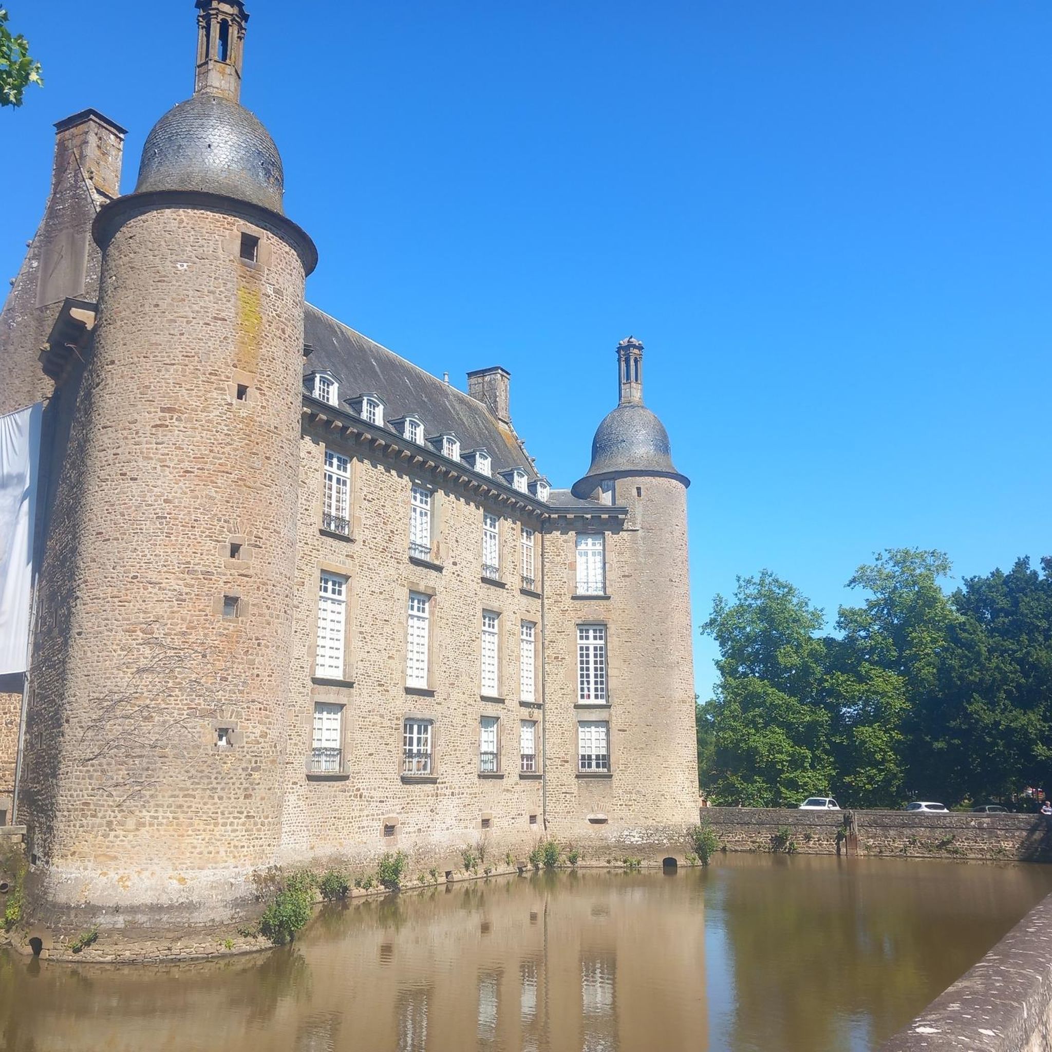
The region is rich in natural beauty and historical sites. You can explore the rugged landscapes of Suisse Normande, featuring sites like the Rochers de la Houle and La Roche d'Oëtre. Closer to Flers, the Mont de Cerisy and Castle Ruins offers extensive views and is particularly vibrant with rhododendrons in May and June. The Château de Flers is another significant landmark.
Are there any family-friendly hiking options around Flers?
Yes, the Mont de Cerisy area is particularly family-friendly. It features a 2 km nature trail with a spotted woodpecker mascot, offering educational insights into the local environment. Beyond hiking, Mont de Cerisy also provides amenities like mini-golf and a fitness trail, making it a great spot for a family outing.
Can I find circular hiking routes in the Flers area?
Many of the hiking routes around Flers are designed as loops, allowing you to start and end at the same point. For example, the Mount Cerisy loop from La Lande-Patry is a popular 17.9 km (11.1 miles) trail that leads through wooded hills, offering a complete circular experience.
What is the best time of year to go hiking in Flers?
The region is beautiful throughout the warmer months. May and June are particularly vibrant, especially around the Mont de Cerisy, when thousands of rhododendrons are in bloom, creating a spectacular contrast with the green foliage. The diverse forests also offer pleasant hiking conditions in spring and autumn.
What do other hikers enjoy most about hiking in Flers?
The hiking routes around Flers are highly rated by the komoot community, with an average score of 4.7 stars from over 60 reviews. Hikers often praise the varied terrain, the scenic beauty of the Suisse Normande, and the tranquility of the wooded paths, especially around Mont de Cerisy.
Are there any long-distance hiking opportunities near Flers?
For those seeking longer treks, the GR® de Pays Tour de la Suisse Normande (TSN) is a notable option. This 113-kilometer long-distance footpath traverses the most emblematic sites of Suisse Normande, connecting the departments of Orne and Calvados. It can be completed in several stages, offering a comprehensive exploration of the region.
What other outdoor activities are available in the Flers region besides hiking?
Beyond hiking, the Flers region, especially the wider Suisse Normande area, offers a variety of outdoor activities. These include climbing, via ferrata, and canoeing, particularly in places like Clécy. The Mont de Cerisy also provides facilities for mountain biking, mini-golf, and petanque.
Is there parking available at the trailheads around Flers?
While specific parking details vary by trailhead, many popular hiking areas and starting points in and around Flers, such as those near Mont de Cerisy or the various Lavoirs Walk access points, typically offer designated parking facilities for hikers. It's advisable to check local signage upon arrival.
How many hiking trails are available around Flers?
There are over 60 hiking trails available around Flers, offering a wide range of options for different skill levels and preferences. This includes 22 easy routes, 43 moderate routes, and 1 difficult route.
Most popular attractions around Flers

Get inspired with the komoot mobile app


Explore more
Browse the best Hikes in other regions.
