The best walks and hikes around Mont-Le-Vernois
4.5
(275)
1,782
hikers
133
hikes
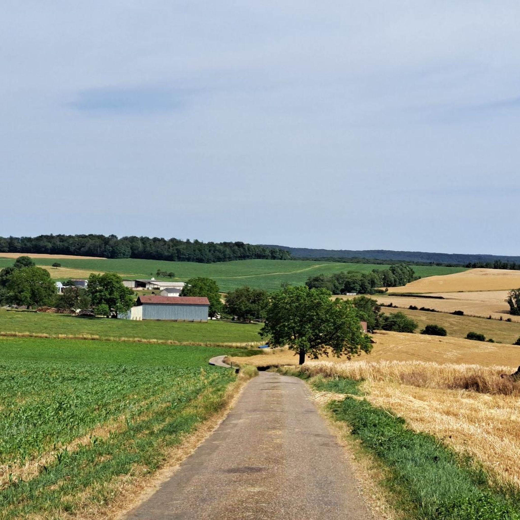
Hiking around Mont-Le-Vernois offers access to the diverse landscapes of the Haute-Saône department in Burgundy-Franche-Comté. The region features altitudes ranging from 211m to 403m, encompassing a mix of forests, meadows, and pond-filled areas, notably around the "Plateau des 1000 Étangs." This geographic setting provides varied terrain for outdoor activities. The municipality itself serves as a starting point for numerous trails, allowing exploration of its natural features.
Best hiking trails around Mont-Le-Vernois
- The most popular hiking route is Lac de Vesoul-Vaivre…
Last updated: July 4, 2026
4.6
(12)
56
hikers
11.2km
03:12
260m
260m
Moderate hike. Good fitness required. Easily-accessible paths. Suitable for all skill levels.
4.6
(5)
27
hikers
11.8km
03:18
230m
230m
Moderate hike. Good fitness required. Easily-accessible paths. Suitable for all skill levels.

Sign up for free
4.6
(10)
21
hikers
5.22km
01:30
120m
120m
Easy hike. Great for any fitness level. Easily-accessible paths. Suitable for all skill levels.
5.0
(2)
25
hikers
10.6km
02:57
210m
210m
Moderate hike. Good fitness required. Easily-accessible paths. Suitable for all skill levels.
5.0
(1)
20
hikers
Easy hike. Great for any fitness level. Easily-accessible paths. Suitable for all skill levels.
Get access to more routes and recommendations from other explorers.
Sign up for free
Already have an account?
Our route recommendations are based on thousands of hikes, rides, and runs completed by other people on komoot.
Start today with a free account
Your next adventure awaits.
Login or Signup



Tips from the Community


The campsite is ideal for an overnight stay
3
0


Great rock formations, an amazing view of Charrier and a wonderful nature reserve at the back
4
0
Frequently Asked Questions
How many hiking trails are available around Mont-Le-Vernois?
There are over 110 hiking routes around Mont-Le-Vernois, offering a wide range of options for all skill levels. This includes 59 easy routes, 54 moderate routes, and 1 more challenging trail.
What kind of terrain can I expect on hikes around Mont-Le-Vernois?
The terrain around Mont-Le-Vernois is diverse, characterized by forests, meadows, and the unique pond landscapes of the Haute-Saône, particularly reminiscent of the 'Plateau des 1000 Étangs'. You'll find varied paths suitable for different abilities, from gentle walks to routes with moderate elevation changes.
Are there any family-friendly hiking options near Mont-Le-Vernois?
Yes, Mont-Le-Vernois offers many family-friendly hiking options. For an easy and scenic walk, consider the Lac de Vesoul-Vaivre – Lake Vesoul-Vaivre loop from Haute-Saône, which is 3.1 miles (5.0 km) long and circles the lake with minimal elevation gain.
What natural features or landmarks can I see while hiking in the area?
While hiking around Mont-Le-Vernois, you can explore various natural and man-made landmarks. Notable attractions include the Saint-Albin Canal Tunnel and the Saint-Albin Tunnel. You might also encounter the La Trace du Courlis Greenway and the charming town of Vesoul nearby.
Are there any circular hiking routes around Mont-Le-Vernois?
Yes, many routes in the area are circular. A popular moderate option is the Camp Cesar loop from Vaivre-et-Montoille, which is 6.3 miles (10.2 km) long with a climb of 771 feet (235 meters).
What do other hikers enjoy most about hiking in Mont-Le-Vernois?
The hiking trails around Mont-Le-Vernois are highly rated by the komoot community, with an average score of 4.6 stars from over 200 reviews. Hikers often praise the diverse landscapes, including forests and ponds, and the well-maintained network of trails that cater to various ability levels.
Are there any challenging hikes in the Mont-Le-Vernois area?
While most routes are easy to moderate, there is at least one difficult trail available for those seeking a greater challenge. The region's varied terrain, with altitudes up to 403m, ensures that even moderate routes can offer significant elevation gains, such as the Source de la Baignoire loop from Andelarre with 769 feet (234 meters) of ascent.
Is public transport available to access hiking trails near Mont-Le-Vernois?
Mont-Le-Vernois is a municipality in the Haute-Saône department. While specific public transport links directly to trailheads might vary, the broader Haute-Saône region is well-regarded for its accessibility to outdoor activities. For detailed information on public transport options to nearby towns like Vesoul, it's best to consult local transport authorities.
What is the best time of year to go hiking around Mont-Le-Vernois?
The Haute-Saône region, where Mont-Le-Vernois is located, is celebrated for its natural beauty throughout the year. Spring and autumn offer pleasant temperatures and vibrant scenery, while summer provides longer daylight hours. Even winter walks can be enjoyable, especially in areas like the 'Plateau des 1000 Étangs' with its unique atmosphere.
Are dogs allowed on the hiking trails around Mont-Le-Vernois?
Generally, dogs are welcome on hiking trails in the Haute-Saône region, provided they are kept under control, especially in areas with wildlife or livestock. It's always advisable to check specific trail regulations or local signage for any restrictions, particularly in nature reserves.
Where can I find more information about hiking in the Haute-Saône region?
For additional inspiration and details on hiking opportunities across the wider Haute-Saône region, you can visit the official tourism website. They offer resources on various walks and hikes, such as those found at hautesaonetourisme.com and hautesaonetourisme.com/walks-and-hikes.
Most popular routes around Mont-Le-Vernois
Most popular attractions around Mont-Le-Vernois

Get inspired with the komoot mobile app


Explore more
Browse the best Hikes in other regions.
