The best road cycling routes around Pont-Du-Bois
4.5
(24)
370
riders
129
rides
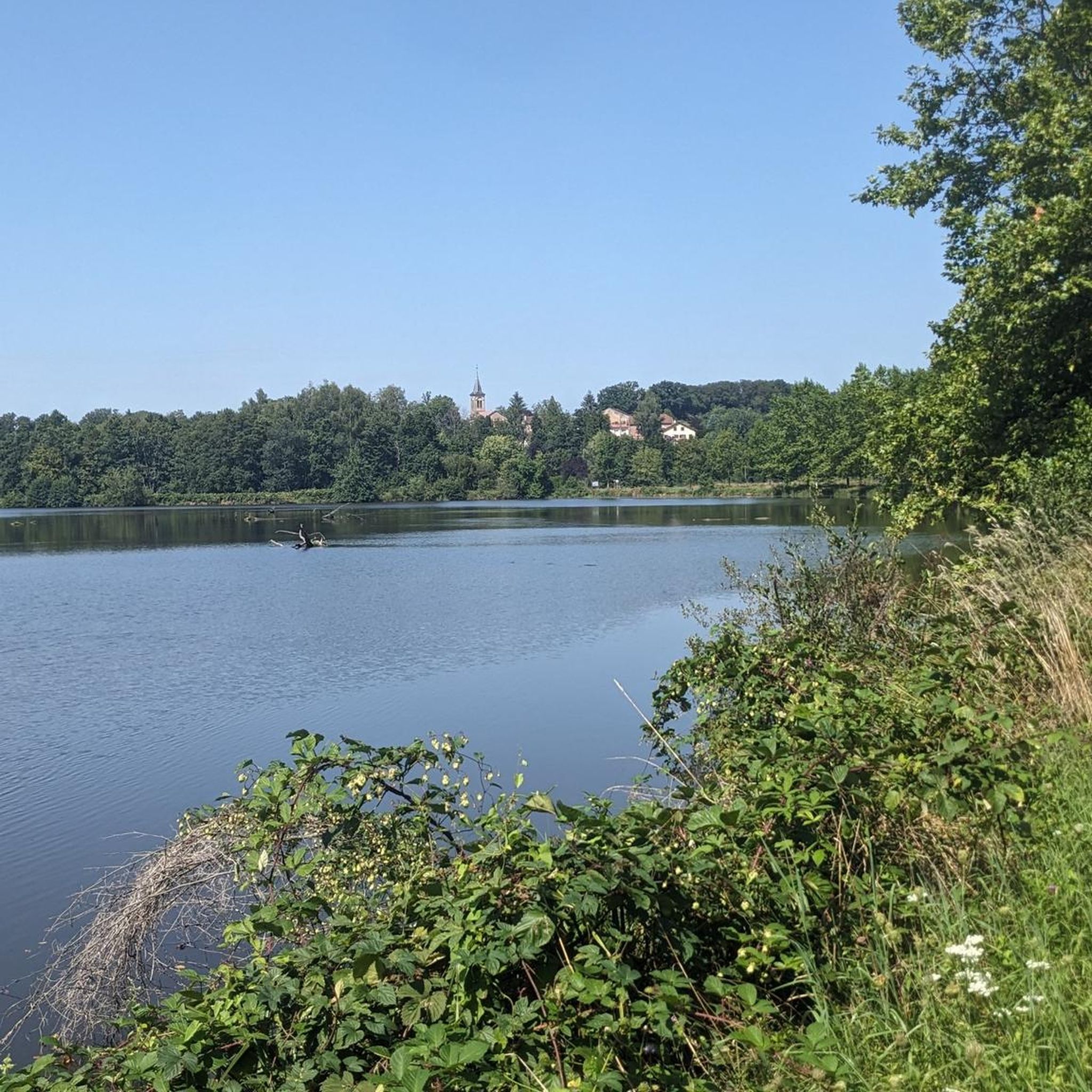
Road cycling routes around Pont-Du-Bois traverse a landscape characterized by forested areas, valleys, and waterways within the Vôge region of Haute-Saône. The commune is situated between 237 and 482 meters elevation, offering varied terrain from flatter sections along rivers and canals to gentle ascents into the surrounding woodlands. Key features include the Côney river, the Canal de l'Est, and the Morillon stream, providing scenic routes for cyclists.
Best road cycling routes around Pont-Du-Bois
- The most popular road cycling route is…
Last updated: July 2, 2026
3.3
(6)
38
riders
42.6km
01:44
180m
180m
Easy road ride. Great for any fitness level. Mostly well-paved surfaces and easy to ride.
3.0
(2)
19
riders
105km
04:25
620m
620m
Moderate road ride. Good fitness required. Mostly well-paved surfaces and easy to ride.

Sign up for free
8
riders
69.7km
03:22
810m
810m
Moderate road ride. Good fitness required. Mostly well-paved surfaces and easy to ride.
8
riders
72.0km
03:14
660m
660m
Moderate road ride. Good fitness required. Mostly well-paved surfaces and easy to ride.
6
riders
Moderate road ride. Good fitness required. Mostly well-paved surfaces and easy to ride.
Get access to more routes and recommendations from other explorers.
Sign up for free
Already have an account?
Our route recommendations are based on thousands of hikes, rides, and runs completed by other people on komoot.
Start today with a free account
Your next adventure awaits.
Login or Signup



Tips from the Community


The turnaround point after crossing the road is a very narrow and overgrown path. I wouldn't recommend walking this path in rain or after long periods of rain.
0
0


The view from the bridge over the river is interesting, with the village on one side and the rugged, vertical rock face on the other!
1
0
A beautiful old church with impressive stained glass windows.
0
0
One of the most scenic sections of the Canal de Vosges!
2
0
Frequently Asked Questions
How many road cycling routes are available around Pont-du-Bois?
There are over 130 road cycling routes available around Pont-du-Bois, catering to various skill levels. This includes 17 easy routes, 106 moderate routes, and 7 difficult routes, ensuring options for every cyclist.
What kind of terrain can I expect when road cycling in Pont-du-Bois?
Road cycling in Pont-du-Bois offers varied terrain. You'll find flatter sections along waterways like the Côney river and the Canal de l'Est, as well as gentle ascents into the surrounding forested areas of the Vôge region. The elevation ranges from 237 to 482 meters, providing a mix of easygoing rides and more challenging climbs.
Are there routes suitable for beginners or families?
Yes, there are several routes suitable for beginners and families. For instance, the La Basse-Vaivre – Selles Swing Bridge loop from Fontenoy-le-Château is an easy 28.5-mile trail that offers pleasant views along the waterways, perfect for a relaxed ride.
What about more challenging road cycling routes in the area?
For those seeking a challenge, Pont-du-Bois and the surrounding Haute-Saône region offer routes with more significant elevation gain. There are 7 routes classified as difficult, and many moderate routes, such as the St. Mansuy – Saint-Étienne Church loop from Fontenoy-le-Château, include substantial climbs through rural landscapes.
When is the best time of year for road cycling in Pont-du-Bois?
The Haute-Saône department, including Pont-du-Bois, is generally favorable for cycling from spring through autumn. These seasons offer pleasant temperatures and lush green landscapes. Checking local weather forecasts before your ride is always recommended.
What natural features or landmarks can I see along the cycling routes?
Cycling routes often follow the scenic Côney river, the Canal de l'Est, and the Morillon stream, offering peaceful waterside views. You might also encounter highlights like the Selles Swing Bridge or sections of the Canal des Vosges. The region is characterized by its wooded areas and valleys.
Are there any historical sites to explore while cycling?
While cycling, you can explore historical points of interest. The region has a past in metallurgy, and you might pass by sites like the former forges. The village of Pont-du-Bois itself features the Nativité-de-Saint-Jean-Baptiste church, rebuilt in 1859. Further afield, you can find the Royal Factory of Bains-les-Bains.
Are there long-distance cycling options that connect to larger networks?
Yes, the broader Haute-Saône region is well-connected. You can access significant European itineraries like the EuroVélo 6 and "La Voie Bleue Moselle-Saône à Vélo" (V50), which often utilize greenways on former towpaths. These routes provide accessible, low-altitude options for longer journeys through rich natural environments and charming villages.
Are there circular road cycling routes available?
Many of the road cycling routes around Pont-du-Bois are designed as loops, allowing you to start and end in the same location. Examples include the Vosges canal – Canal des Voges loop from Fontenoy-le-Château, which covers over 65 miles, and the Vosges canal – Canal des Voges loop from Pont-du-Bois.
What are the options for parking when cycling in Pont-du-Bois?
While specific parking areas for cyclists in Pont-du-Bois are not detailed, the tranquil nature of the commune and surrounding villages often means street parking or small public car parks are available. For routes starting from nearby towns like Fontenoy-le-Château, designated parking may be more readily found.
What do other cyclists say about road cycling in Pont-du-Bois?
The road cycling routes around Pont-du-Bois are highly rated by the komoot community, with an average score of 4.5 stars from over 56 reviews. Cyclists often praise the varied terrain, from peaceful canal paths to scenic ascents, and the overall natural beauty of the Vôge landscape.
Are there routes that specifically follow canals or rivers?
Absolutely. Many routes in the area take advantage of the region's waterways. The Côney river, the Canal de l'Est, and the Canal des Vosges offer excellent, often flatter, cycling paths. The Vosges canal – Canal des Voges loop from Fontenoy-le-Château is a prime example of a route that follows these historic waterways.
Most popular attractions around Pont-Du-Bois

Get inspired with the komoot mobile app


Explore more
Browse the best Road cycling routes in other regions.
