The best walks and hikes around Pfalzburg
4.6
(2130)
9,923
hikers
30
hikes
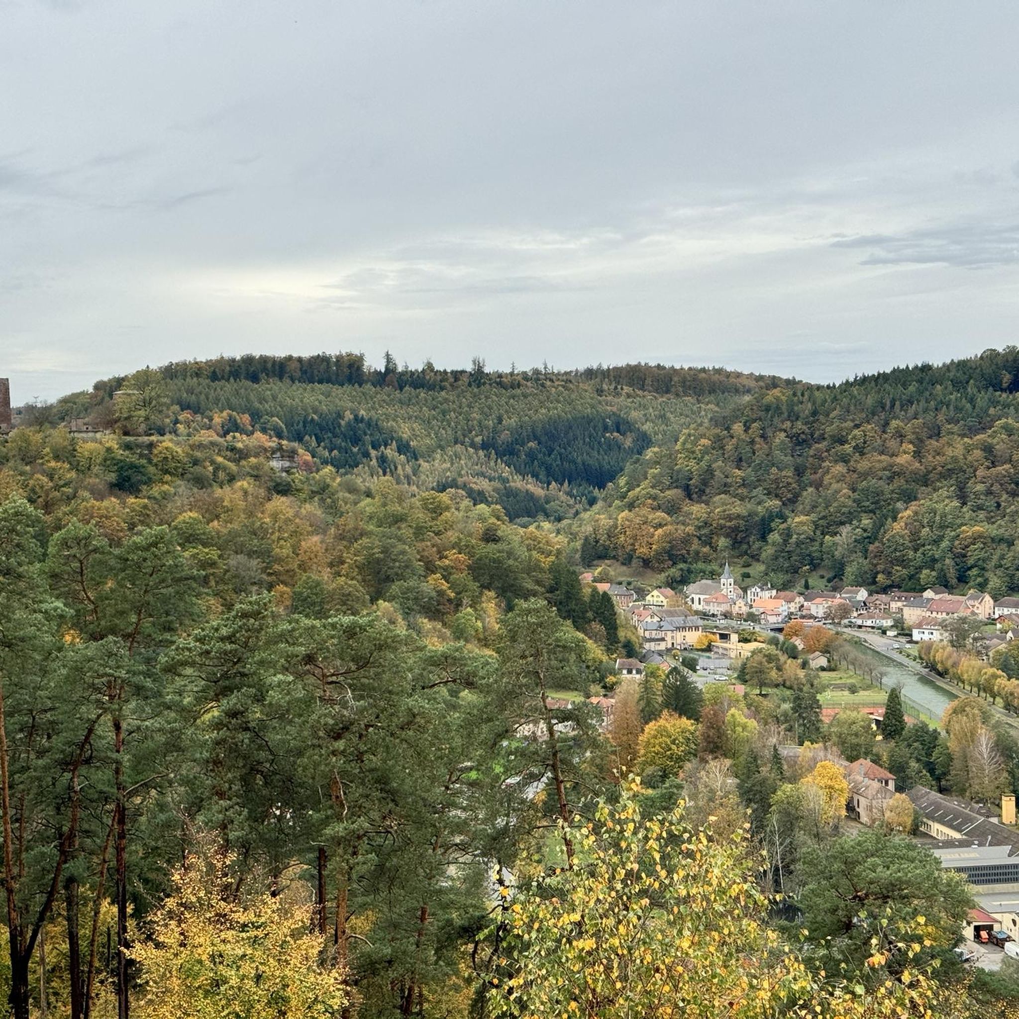
Hiking around Pfalzburg provides access to diverse landscapes on the western slopes of the Vosges Mountains in northeastern France. The region features green valleys, wooded hills, and distinctive pink sandstone formations. It borders the Northern Vosges Regional Natural Park, offering varied natural environments for exploration.
Best hiking trails around Pfalzburg
- The most popular hiking route is Lutzelbourg Castle – Krappenfels loop from Phalsbourg, a 9.2 miles (14.7 km) trail that takes 4 hours 15 minutes to complete. This moderate…
Last updated: July 9, 2026
4.6
(9)
52
hikers
Easy hike. Great for any fitness level. Easily-accessible paths. Suitable for all skill levels.
4.7
(12)
57
hikers
13.5km
03:47
240m
240m
Moderate hike. Good fitness required. Easily-accessible paths. Suitable for all skill levels.

Sign up for free
4.6
(5)
16
hikers
4.86km
01:21
90m
90m
Easy hike. Great for any fitness level. Easily-accessible paths. Suitable for all skill levels.
5.0
(1)
15
hikers
6.49km
01:51
140m
140m
Easy hike. Great for any fitness level. Easily-accessible paths. Suitable for all skill levels.
4.8
(4)
18
hikers
Moderate hike. Good fitness required. Easily-accessible paths. Suitable for all skill levels.
Get access to more routes and recommendations from other explorers.
Sign up for free
Already have an account?
Our route recommendations are based on thousands of hikes, rides, and runs completed by other people on komoot.
Start today with a free account
Your next adventure awaits.
Login or Signup
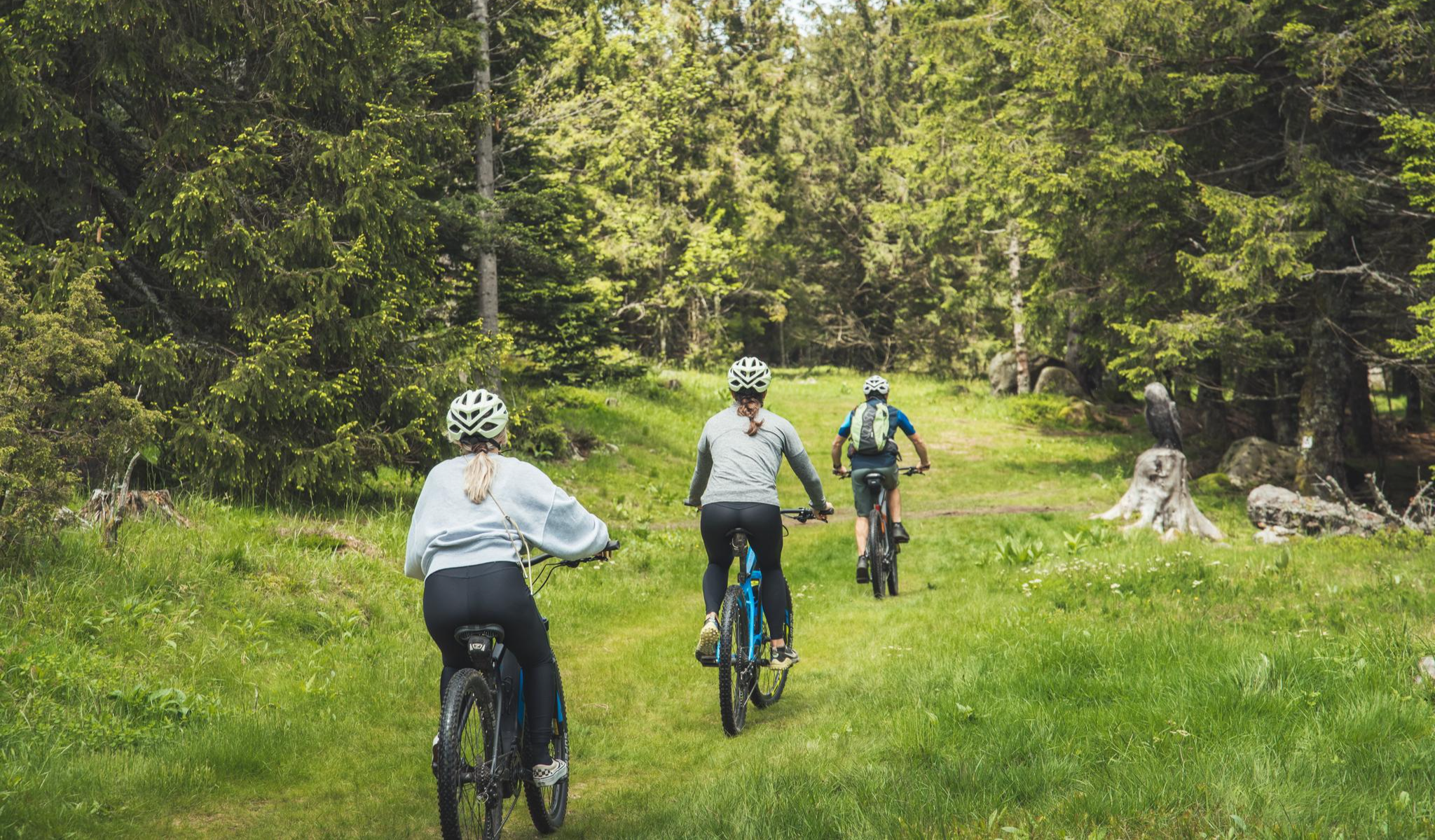
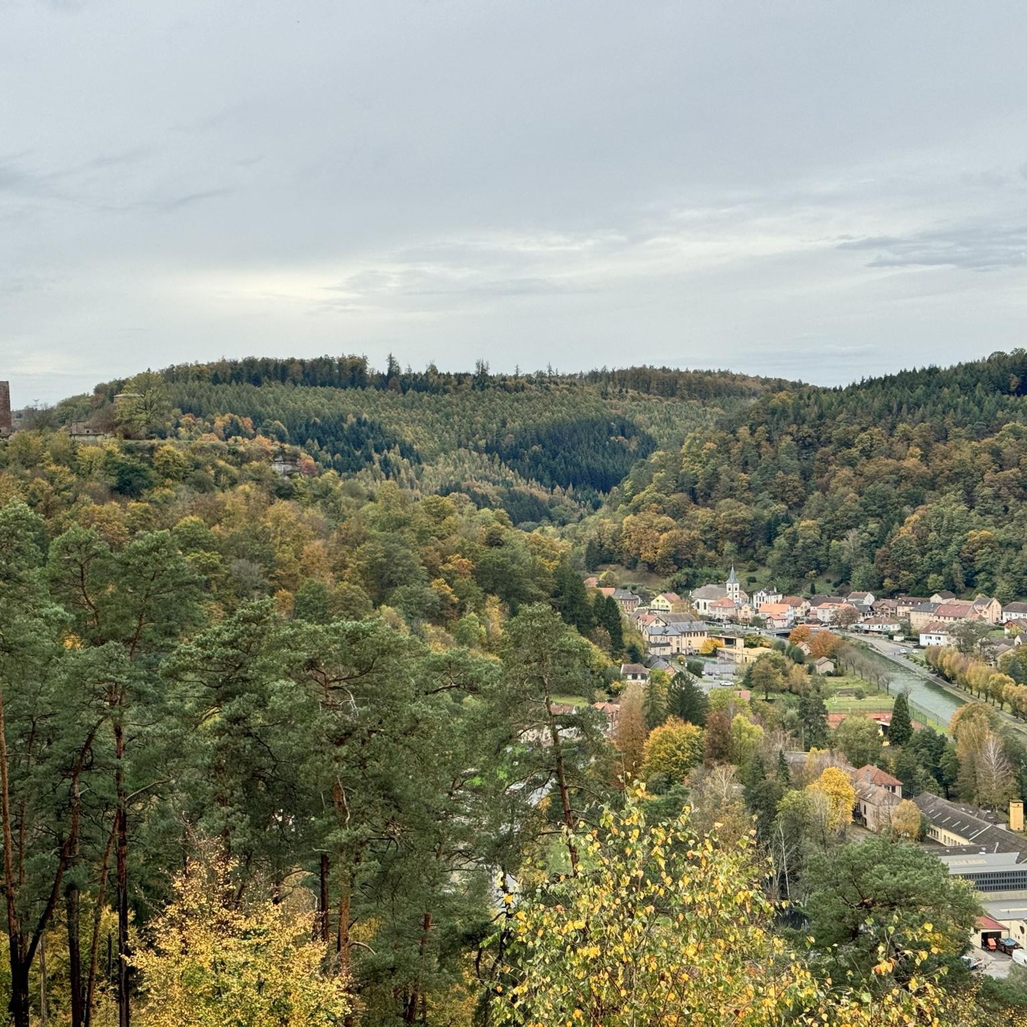
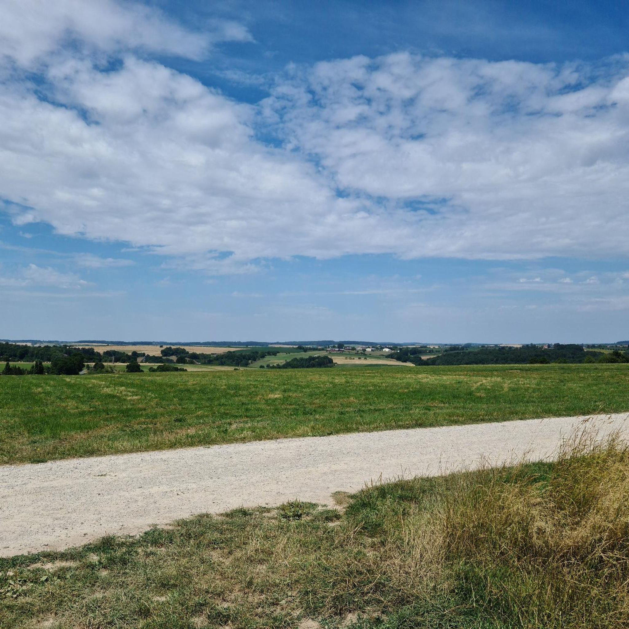
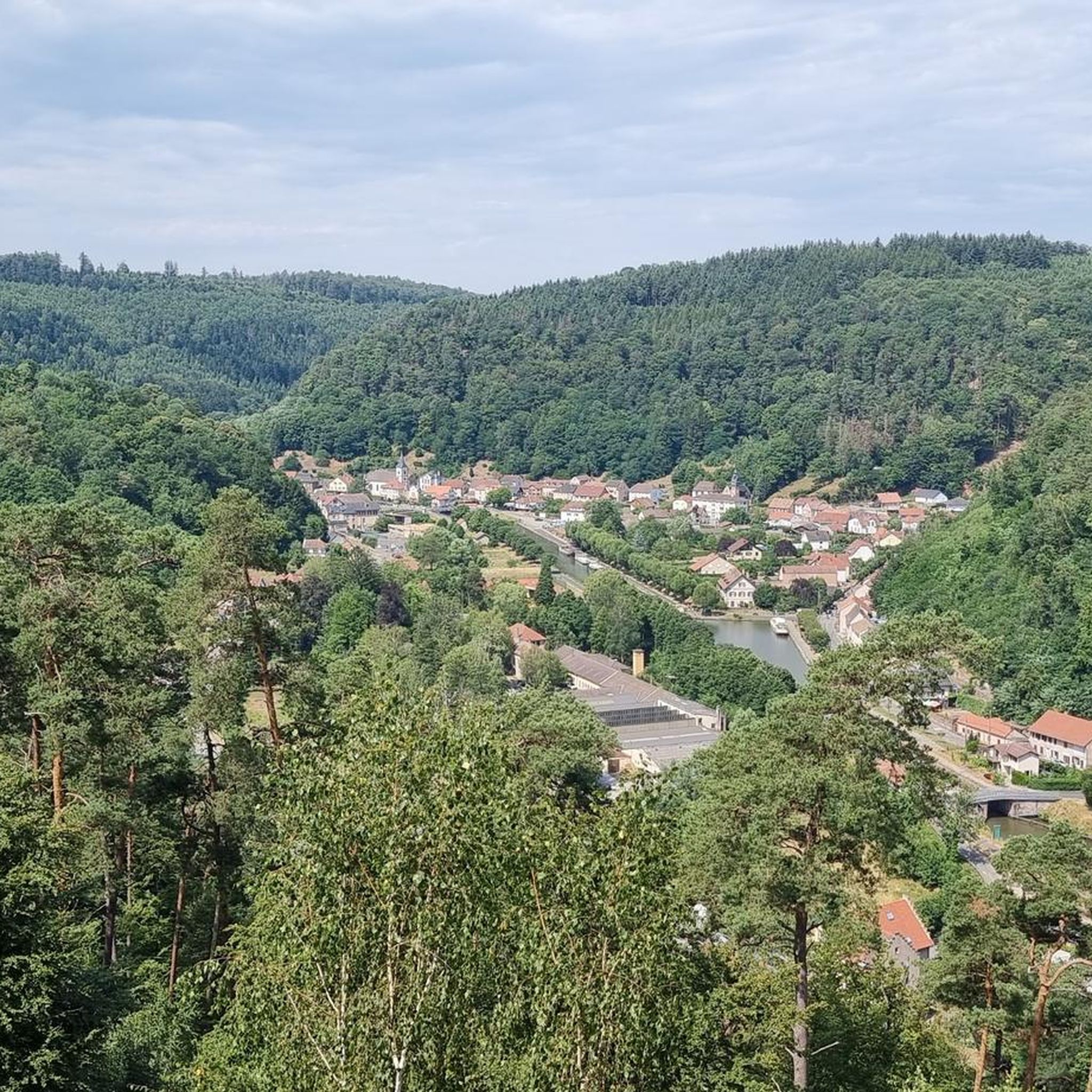

Other adventures around Pfalzburg

Tips from the Community

The sandstone cliff called the “Black Band rocks” forms a large overhang above the path. This overhang forms a rock shelter called the Bande Noire cave.
0
0
Beautiful trail A place of refuge and memory, the rock that houses the Cave of Danne was named Rocher Albert in honor of the president of the Vosges Club section from 1935 to 1964.
0
0

Another sandstone relief of a fable by Jean de la Fontaine on the sculpture trail.
0
0
Another story by Jean de la Fontaine on the sculpture trail, worked as a relief in sandstone.
0
0
The hiking car park is located directly in front of/behind the bridge over the Nesselbach.
1
0
The rest area at the Hutte de Fouquet is spacious, the Source de Fouquet is right next to the hut, and the idyllic Haspelbächel stream invites children to play.
0
0

Nice refuge for a hiking break or overnight stay (if you bring your own sleeping mat). The house was originally built by a L'ermite "outsider" named Karl, a staircase and the path leads past his memorial site.
0
0

A beautiful view of the Rocher du petit Moulin
0
0
Frequently Asked Questions
How many hiking trails are available around Pfalzburg?
Pfalzburg offers a wide variety of hiking experiences, with over 30 marked trails. These routes cater to different abilities, including 23 easy trails, 9 moderate routes, and 1 more challenging option.
What kind of landscapes can I expect to see while hiking near Pfalzburg?
The region around Pfalzburg is characterized by its green valleys, wooded hills, and distinctive pink sandstone formations. You'll be hiking on the western slopes of the Vosges Mountains, often bordering the Northern Vosges Regional Natural Park, which provides diverse natural environments.
Are there family-friendly hiking options in Pfalzburg?
Yes, many trails around Pfalzburg are suitable for families. For instance, the Pond in the Forest loop from Phalsbourg is an easy 4.9 km route that takes just over an hour, perfect for a leisurely family outing. The area has 23 easy trails in total.
Can I bring my dog on the hiking trails?
Most hiking trails in the Pfalzburg area are dog-friendly, allowing you to enjoy the natural beauty with your canine companion. It's always recommended to keep your dog on a leash, especially in nature reserves or areas with wildlife, and to respect local regulations.
Are there any circular hiking routes available?
Yes, many of the trails around Pfalzburg are circular, offering convenient starting and ending points. Popular examples include the Lutzelbourg Castle – Krappenfels loop from Phalsbourg and the Krappenfels loop from Phalsbourg, which allow you to explore without retracing your steps.
What historical sites or natural landmarks can I see while hiking?
Pfalzburg's trails often lead to fascinating landmarks. You can explore the 11th-century Haut-Barr Castle ruins with panoramic views, or discover the unique Black Band Rock formation. The Valley of the Lock Keepers also offers a scenic path along the Marne-Rhine Canal with historic locks.
Are there any hikes that feature waterfalls?
The region around Pfalzburg, being part of the Vosges Mountains, is known for its streams and occasional waterfalls. While specific named waterfall hikes aren't detailed, exploring the wooded areas and valleys will increase your chances of encountering these natural features, especially after rainfall.
When is the best time of year to hike around Pfalzburg?
The best time to hike around Pfalzburg is generally from spring to autumn (April to October), when the weather is mild and the natural landscapes are vibrant. Spring brings blooming flora, while autumn offers stunning fall foliage. Summer is also popular, but trails can be busier.
What do other hikers enjoy most about the trails in Pfalzburg?
The hiking routes in Pfalzburg are highly rated by the komoot community, with an average score of 4.6 stars from over 1800 reviews. Hikers frequently praise the well-maintained paths, the diverse forest terrain, and the scenic views, particularly those including historic castles and unique rock formations.
Are there options for public transport to reach hiking trailheads?
While specific public transport links directly to every trailhead may vary, Pfalzburg itself is accessible by public transport. From there, many trails are within walking distance or a short local bus ride. It's advisable to check local transport schedules for specific routes.
Can I find parking easily at the trailheads?
Many popular trailheads around Pfalzburg, especially those near villages or major attractions, offer designated parking areas. For routes starting directly from Pfalzburg, parking is generally available within the town, allowing convenient access to nearby loops.
What kind of wildlife can I expect to see?
The diverse forests and natural environments around Pfalzburg are home to varied flora and fauna. Hikers might spot common forest animals like deer, wild boar, and various bird species. Keep an eye out for unique plant life, especially on botanical trails like the Brunnenthal.
Are there any long-distance hiking routes in the area?
Yes, for those seeking a longer adventure, the Erckmann-Chatrian GR de Pays is an extensive 85 km route that crosses the Sarrebourg and Phalsbourg territories, offering a multi-day hiking experience through the region's varied landscapes.
Most popular routes around Pfalzburg
Most popular attractions around Pfalzburg

Get inspired with the komoot mobile app


Explore more
Browse the best Hikes in other regions.
