The best walks and hikes around Chalou-Moulineux
4.7
(53)
301
hikers
66
hikes
Hiking around Chalou-Moulineux offers varied terrain at the crossroads of the Hurepoix and Beauce regions. The landscape features river valleys, such as those of the Chalouette and Louette, alongside alternating open fields and woodlands. Trails often follow waterways and traverse cultivated plateaus, providing diverse natural environments for exploration.
Best hiking trails around Chalou-Moulineux
- The most popular hiking route is Church of Chalo-Saint-Mars loop from Chalo-Saint-Mars, a 6.7 miles (10.8 km) trail that takes 3 hours 1 minute to complete.…
Last updated: May 24, 2026
4.3
(3)
12
hikers
10.8km
03:01
220m
220m
Moderate hike. Good fitness required. Easily-accessible paths. Suitable for all skill levels.
3.5
(4)
18
hikers
Moderate hike. Good fitness required. Easily-accessible paths. Suitable for all skill levels.

Sign up for free
5.0
(1)
12
hikers
9.34km
02:27
70m
80m
Moderate hike. Good fitness required. Easily-accessible paths. Suitable for all skill levels.
5.0
(5)
22
hikers
9.88km
02:30
20m
20m
Moderate hike. Good fitness required. Easily-accessible paths. Suitable for all skill levels.
5.0
(1)
10
hikers
9.83km
02:36
90m
90m
Moderate hike. Good fitness required. Easily-accessible paths. Suitable for all skill levels.
Get access to more routes and recommendations from other explorers.
Sign up for free
Already have an account?
Our route recommendations are based on thousands of hikes, rides, and runs completed by other people on komoot.
Start today with a free account
Your next adventure awaits.
Login or Signup



Tips from the Community

Building dating back to the 12th century, famous for its "leaning tower", its 14th century bell tower.
0
0
Small village located at the junction of the Louette and Chalouette valleys
1
0
Located on private property.
0
0

Not the prettiest, but starting to compete with Pisa.
0
0
Frequently Asked Questions
How many hiking trails are available around Chalou-Moulineux?
There are over 60 hiking routes around Chalou-Moulineux, offering a wide range of options for different preferences and fitness levels. These trails explore the diverse landscapes of river valleys, open fields, and peaceful woodlands.
Are there easy hiking options suitable for families or casual walkers?
Yes, nearly half of the trails in the area are rated as easy. For a pleasant and accessible walk, consider the Church of Chalo-Saint-Mars – Tronchet Manor loop from Chalo-Saint-Mars. This 7.3 km route takes approximately 2 hours to complete and offers a gentle exploration of the local scenery and historical sites.
What kind of landscapes can I expect to see on a hike in Chalou-Moulineux?
Hiking in Chalou-Moulineux offers a varied landscape at the crossroads of the Hurepoix and Beauce regions. You'll find picturesque river valleys, such as those of the Chalouette and Louette, alongside alternating open fields and peaceful woodlands. Many trails also traverse cultivated plateaus, providing diverse natural environments and changing panoramas.
Are there any historical or cultural points of interest along the trails?
Absolutely. The region is rich in history. Many routes pass through charming villages with ancient churches, such as the superb Église Saint-Martin in Chalo-Saint-Mars with its leaning bell tower. Some trails even start from the site of a former Templar commandery, allowing you to explore this rich historical patrimony. The Église Saint-Aignan in Chalou-Moulineux itself is also a notable point of interest.
Can I find circular hiking routes in Chalou-Moulineux?
Yes, many of the trails around Chalou-Moulineux are circular, allowing you to start and end your hike at the same point. A great example is the Church of Chalo-Saint-Mars loop from Chalo-Saint-Mars, a 10.8 km route that takes about 3 hours to complete and explores the local heritage.
Are there any longer or more challenging hikes available?
While most trails are easy to moderate, there are options for longer excursions. For a moderate challenge that combines historical sites with natural landscapes, consider the Church of Chalo-Saint-Mars – Menhir de Pierrefitte loop from Chalo-Saint-Mars. This route is 17.0 km long and typically takes around 4 hours 27 minutes to complete.
What do other hikers say about the trails in Chalou-Moulineux?
The trails in Chalou-Moulineux are highly rated by the komoot community, with an average score of 4.8 stars from over 40 reviews. Hikers often praise the varied terrain, the peaceful woodlands, and the opportunity to discover local heritage along the routes.
Are there any trails that go through woodlands or forests?
Yes, the region features peaceful woodlands and forests that are integrated into many hiking routes. For a dedicated woodland experience, try the Foret 177 loop from Chalou-Moulineux, a 9.3 km trail that leads you through shaded areas and takes approximately 2 hours 27 minutes.
What natural features, like rivers or springs, can be seen on hikes?
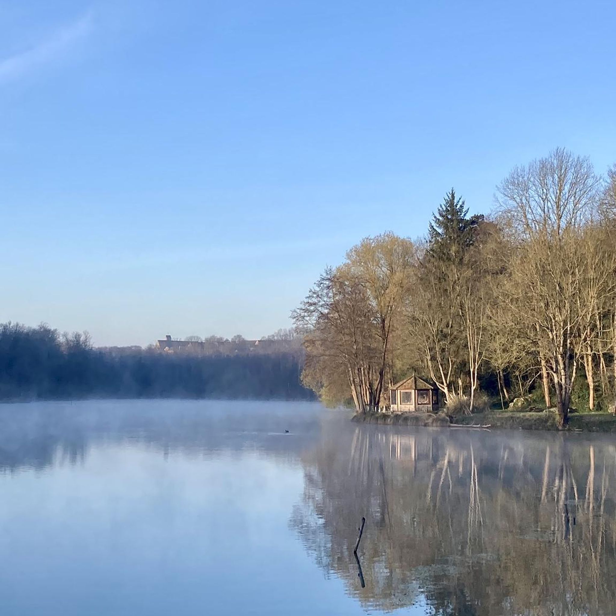
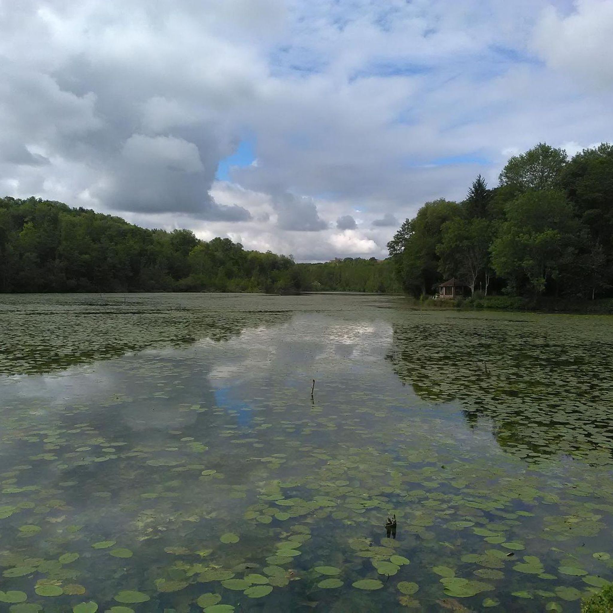
The region is defined by its waterways. Many trails follow the banks of the Chalouette and Louette rivers, offering refreshing paths and picturesque scenery. The source of the Chalouette River, the Sainte-Apolline spring, is also a notable natural attraction that can be visited on a loop trail starting from Chalou-Moulineux. You might also encounter an pond at Chalou-Moulineux itself.
Is there a specific trail that highlights the 'cressonnières' (watercress beds) of the Juine Valley?
While Chalou-Moulineux is at the crossroads of the Hurepoix and Beauce regions, a longer hiking option, such as one from Angerville to Saclas via Méréville, would lead you into the Juine River valley, which is particularly known for its numerous watercress beds. These are a unique agricultural feature of the wider area.
What is the typical duration for hikes in this area?
Hike durations vary significantly depending on the route's length and your pace. Many popular trails range from 2 to 4.5 hours. For instance, the Foret 177 loop from Chalo-Saint-Mars is about 9.8 km and takes around 2 hours 35 minutes, while longer routes can extend beyond 4 hours.
What is the best season for hiking in Chalou-Moulineux?
The diverse landscapes of Chalou-Moulineux, with its river valleys, fields, and woodlands, make it enjoyable for hiking across multiple seasons. Spring and autumn offer pleasant temperatures and beautiful foliage, while summer provides shaded paths along the rivers and through forests. Even in winter, some trails can be explored, though conditions may vary.
Most popular routes around Chalou-Moulineux
Most popular attractions around Chalou-Moulineux

Get inspired with the komoot mobile app


Explore more
Browse the best Hikes in other regions.
