The best walks and hikes around Boissy-La-Rivière
4.8
(81)
487
hikers
97
hikes
Hiking around Boissy-La-Rivière offers diverse landscapes, characterized by the wooded valleys of the Juine and Marette rivers, which converge near Lake Saclas. The region also features cultivated plateaus overlooking these river systems and varied ecosystems within the Éclimont valley. Trails often traverse a mix of forests, open fields, and hillsides, providing varied terrain for outdoor activities.
Best hiking trails around Boissy-La-Rivière
- The most popular hiking route is Café de la Paix – 8 loop from Saclas, an 8.6 miles…
Last updated: July 2, 2026
3.8
(5)
22
hikers
Moderate hike. Good fitness required. Easily-accessible paths. Suitable for all skill levels.
4.2
(5)
18
hikers
13.9km
03:50
230m
230m
Moderate hike. Good fitness required. Easily-accessible paths. Suitable for all skill levels.

Sign up for free
4.5
(2)
20
hikers
12.2km
03:18
160m
160m
Moderate hike. Good fitness required. Easily-accessible paths. Suitable for all skill levels.
4.8
(5)
17
hikers
9.33km
02:29
100m
100m
Moderate hike. Good fitness required. Easily-accessible paths. Suitable for all skill levels.
5.0
(1)
5
hikers
8.17km
02:11
90m
90m
Moderate hike. Good fitness required. Easily-accessible paths. Suitable for all skill levels.
Get access to more routes and recommendations from other explorers.
Sign up for free
Already have an account?
Our route recommendations are based on thousands of hikes, rides, and runs completed by other people on komoot.
Start today with a free account
Your next adventure awaits.
Login or Signup
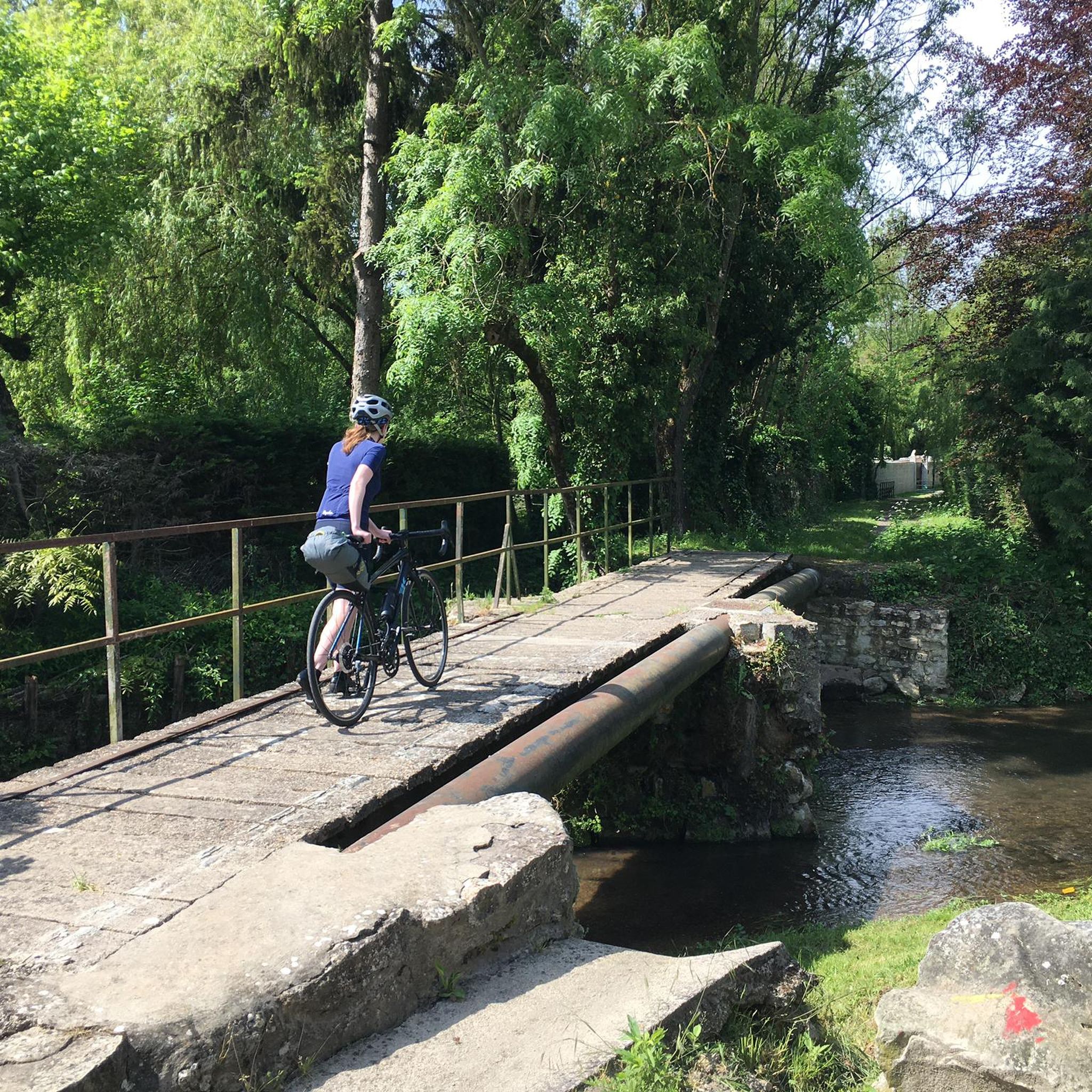
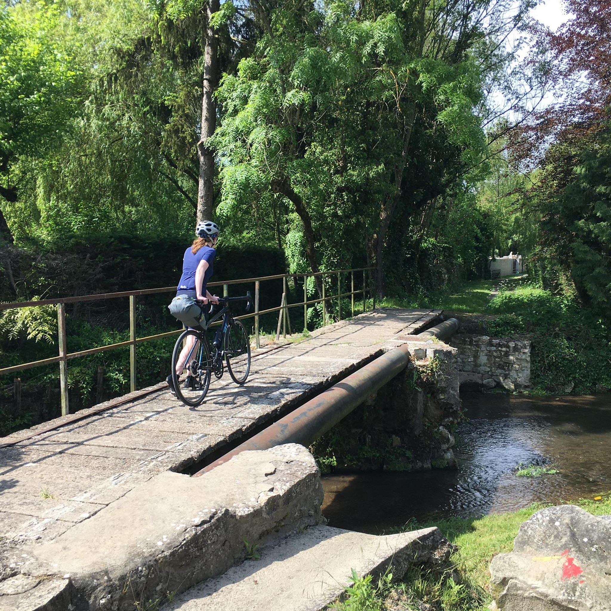

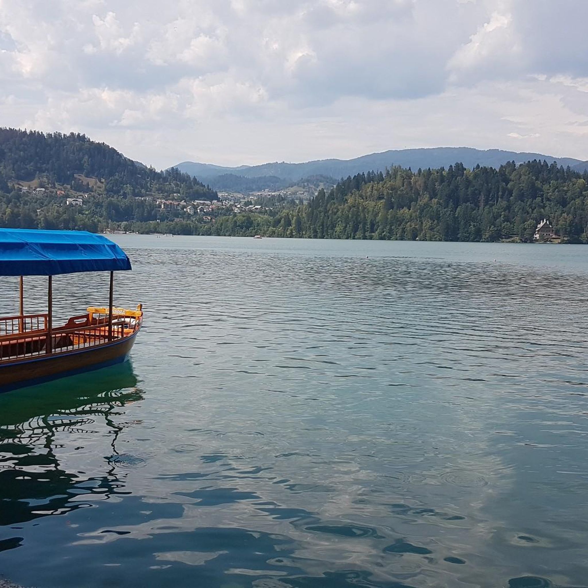
Tips from the Community

Located on private property.
0
0

Very pretty little spot for a picnic
1
0


Frequently Asked Questions
How many hiking trails are available in Boissy-La-Rivière?
Boissy-La-Rivière offers a wide selection of hiking opportunities, with over 90 trails to explore. These routes cater to various preferences, including easy strolls and more challenging paths.
What kind of landscapes can I expect to see while hiking in Boissy-La-Rivière?
The region is characterized by the wooded valleys of the Juine and Marette rivers, which converge near the picturesque Lake Saclas. You'll also find cultivated plateaus, diverse ecosystems within the Éclimont valley, and a captivating mix of forests, open fields, and hillsides typical of the Hurepoix region.
Are there easy hiking trails suitable for beginners or families in Boissy-La-Rivière?
Yes, Boissy-La-Rivière has numerous easy trails perfect for beginners or families. Approximately 33 routes are classified as easy, offering gentle terrain and shorter distances. For example, the Café de la Paix – Lake Saclas loop from Saclas is a moderate option that explores the scenic lake area.
Are there more challenging hikes for experienced hikers in the area?
While the majority of trails are moderate, there are 6 routes classified as difficult for those seeking a greater challenge. These routes typically feature longer distances and more significant elevation changes, providing a rewarding experience for seasoned hikers.
What do other hikers say about the trails in Boissy-La-Rivière?
The hiking trails in Boissy-La-Rivière are highly regarded by the komoot community, boasting an average rating of 4.8 out of 5 stars from over 70 reviews. Hikers often praise the diverse natural scenery, the tranquility of the river valleys, and the well-maintained paths.
Are there circular hiking routes available in Boissy-La-Rivière?
Yes, many of the trails in Boissy-La-Rivière are designed as circular routes, allowing you to start and end your hike at the same point. An example is the Saclas Viaduct loop from Saclas, which offers a scenic journey through the local landscape.
What natural features or points of interest can I explore on a hike?
Beyond the river valleys and forests, you can discover interesting sites such as the Small lake in the rocks. The region also features geological points of interest like the Géosite de Pierrefitte and Les Buttes du Puits, showcasing ancient sandstone quarries.
Where can I find panoramic views in the Boissy-La-Rivière area?
Certain routes, particularly those around Saint-Hilaire, offer sweeping panoramic views of the Beauce region. Additionally, the Coteau des Verts Galants provides excellent vistas and insights into the area's geology.
Can I bring my dog on the hiking trails in Boissy-La-Rivière?
Generally, dogs are welcome on many public hiking trails in France, especially if kept on a leash. However, it's always advisable to check local signage or specific route descriptions for any restrictions, particularly in nature reserves or protected areas.
What is the best time of year to go hiking in Boissy-La-Rivière?
The spring and autumn months are often ideal for hiking in Boissy-La-Rivière, offering pleasant temperatures and beautiful scenery as the foliage changes. Summer can also be enjoyable, especially for riverside walks, but it's best to start early to avoid the midday heat. Winter hikes are possible, though some paths might be muddy.
Is public transport available to reach trailheads in Boissy-La-Rivière?
While Boissy-La-Rivière is primarily accessed by car, some local bus services might connect to nearby towns. For specific trailhead access via public transport, it's recommended to check local bus schedules and routes in advance, as direct connections to all trailheads may be limited.
Are there parking facilities near the hiking trails?
Many trailheads in and around Boissy-La-Rivière offer designated parking areas, especially in villages or near popular starting points. It's common to find parking in places like Saclas or Ormoy-la-Rivière, which serve as access points for routes such as the Super nice planted bridge loop from Ormoy-la-Rivière.
Most popular attractions around Boissy-La-Rivière

Get inspired with the komoot mobile app


Explore more
Browse the best Hikes in other regions.
