The best walks and hikes around Balzhausen
4.6
(791)
3,562
hikers
547
hikes
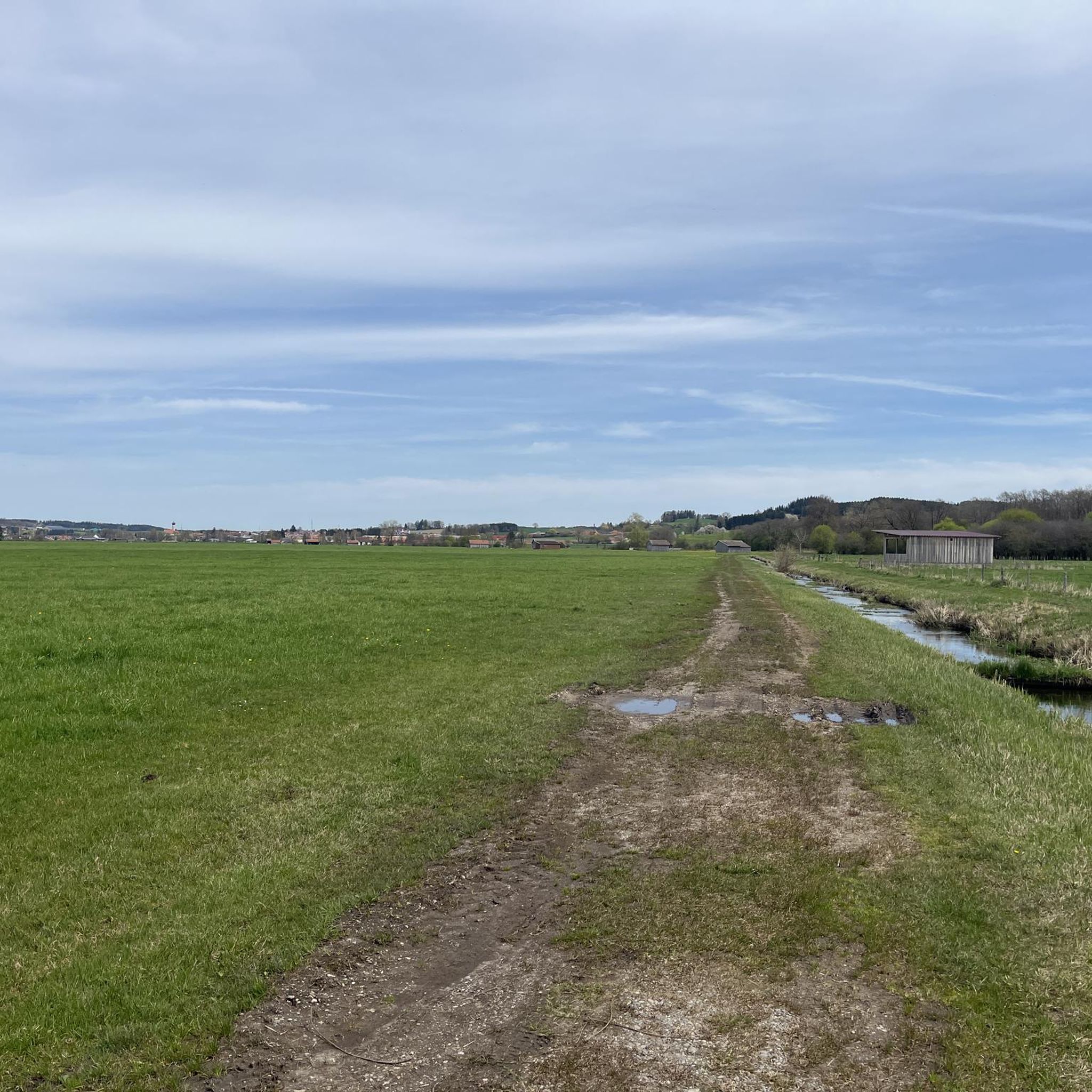
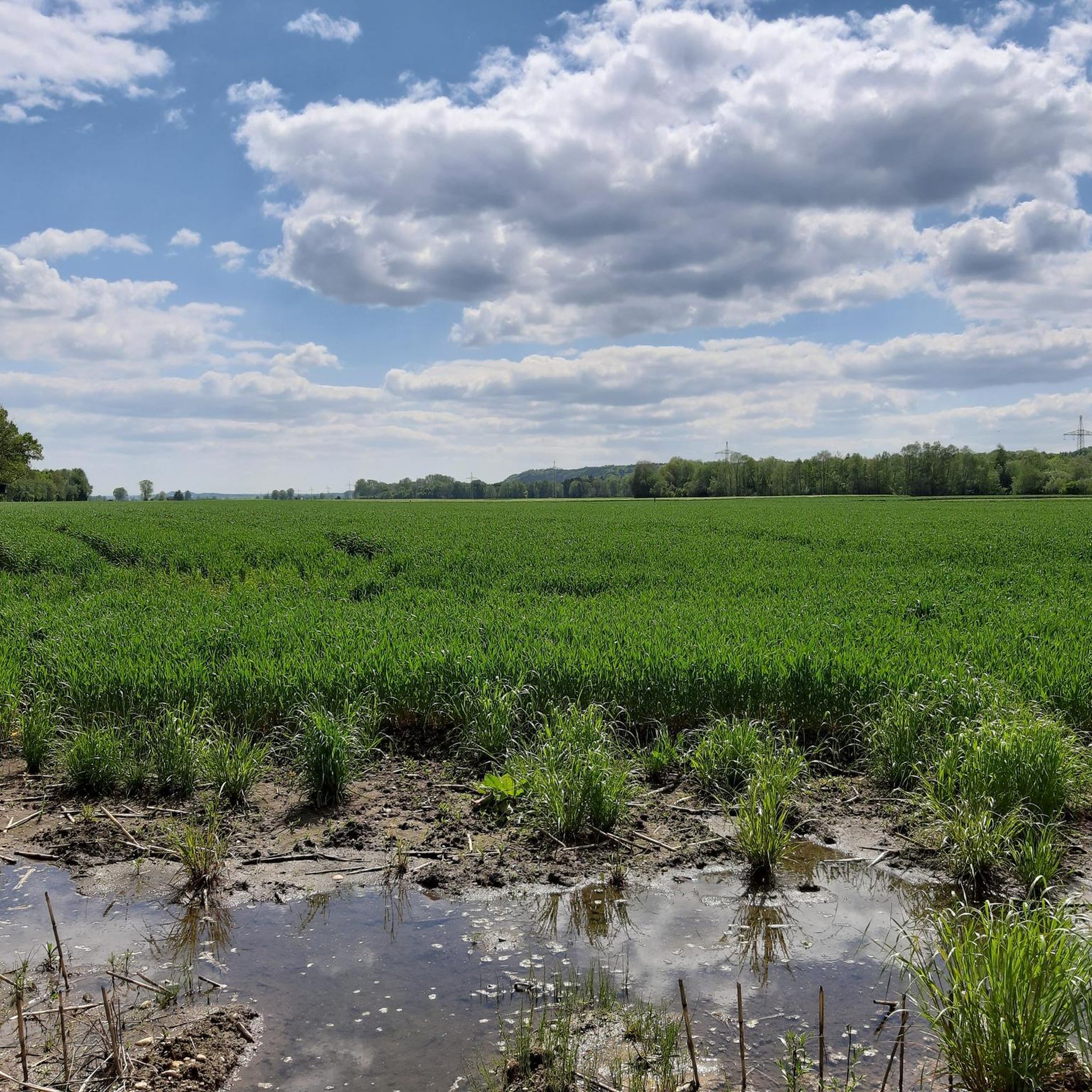
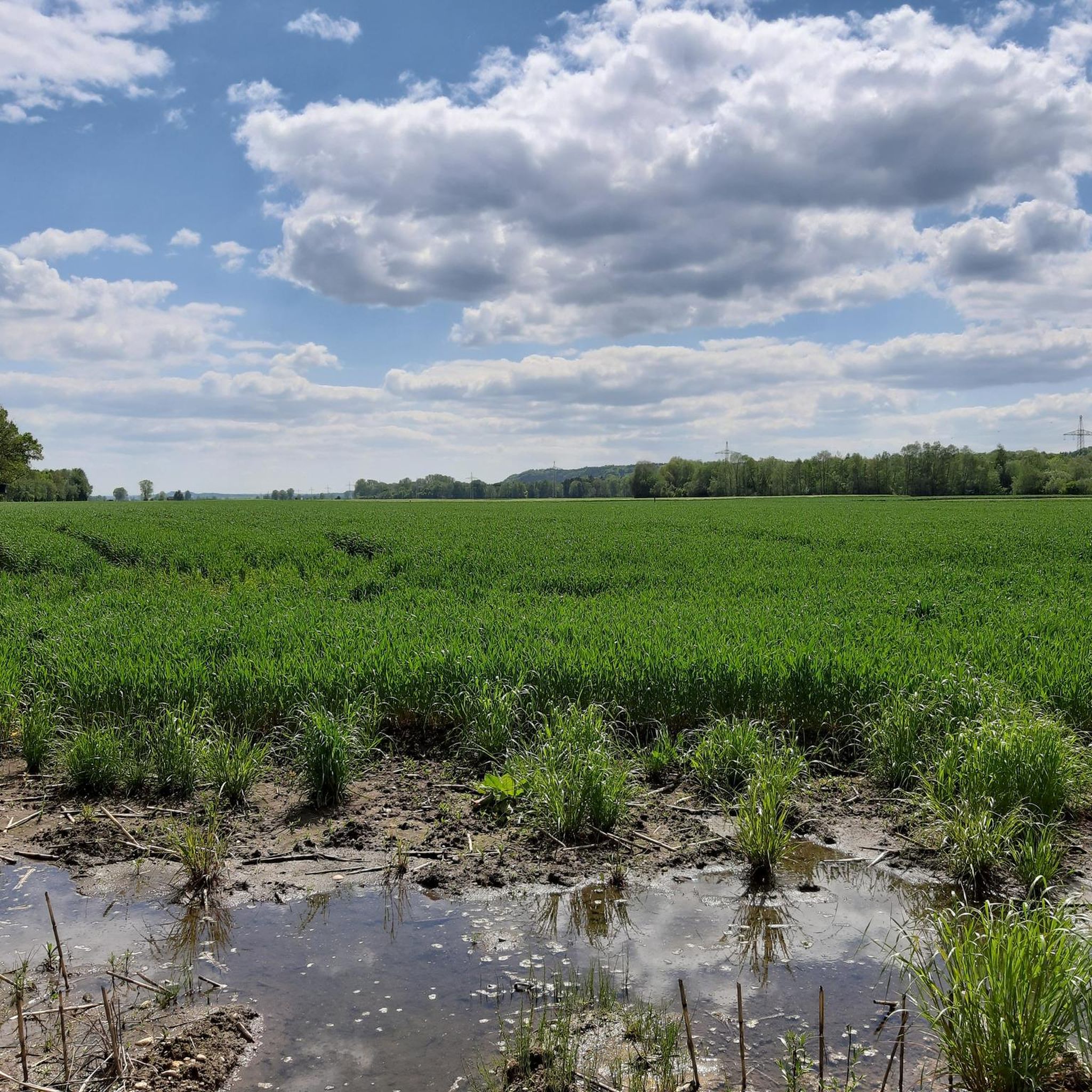
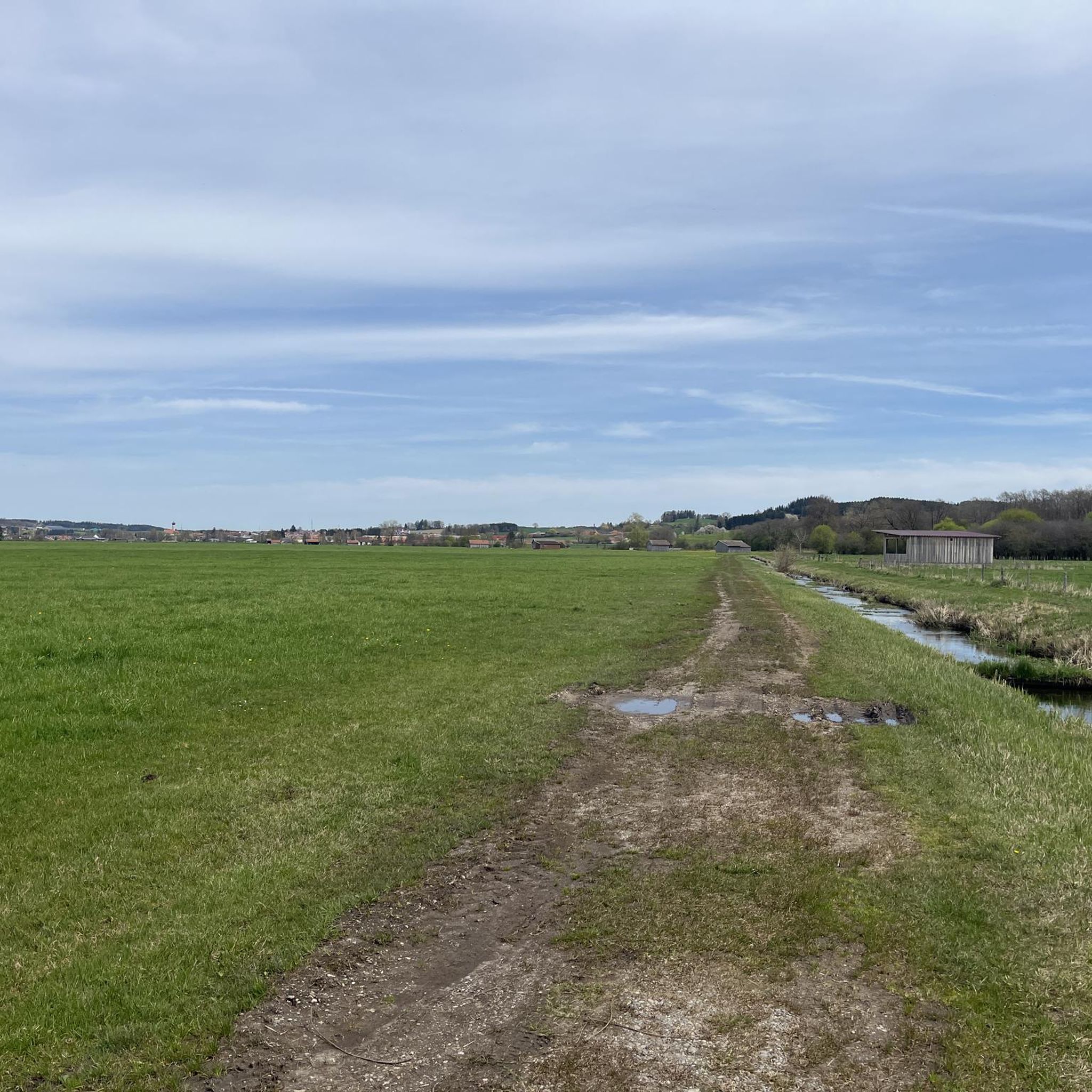
Hiking around Balzhausen offers access to a landscape characterized by rolling hills, green meadows, and dense forests. The municipality is situated on the edge of the Augsburg-Westliche Wälder Nature Park, providing varied terrain for outdoor activities. The region features the Mindel River and views of the Neufnach Valley, contributing to its natural appeal.
Best hiking trails around Balzhausen
- The most popular hiking route is River View – Mindel River loop from Mindelzell, a 5.1 miles (8.1 km) trail that…
Last updated: August 18, 2026
4.7
(20)
67
hikers
8.13km
02:05
30m
30m
Moderate hike. Good fitness required. Easily-accessible paths. Suitable for all skill levels.
5.0
(1)
14
hikers
6.30km
01:37
20m
20m
Easy hike. Great for any fitness level. Easily-accessible paths. Suitable for all skill levels.

Sign up for free
6
hikers
4.87km
01:14
10m
10m
Easy hike. Great for any fitness level. Easily-accessible paths. Suitable for all skill levels.
5.0
(1)
8
hikers
Moderate hike. Good fitness required. Easily-accessible paths. Suitable for all skill levels.
6
hikers
7.93km
02:07
90m
80m
Moderate hike. Good fitness required. Easily-accessible paths. Suitable for all skill levels.
Get access to more routes and recommendations from other explorers.
Sign up for free
Already have an account?
Our route recommendations are based on thousands of hikes, rides, and runs completed by other people on komoot.
Start today with a free account
Your next adventure awaits.
Login or Signup

Tips from the Community

The community center in Balzhausen is open on Sundays and public holidays. From 2 p.m. The center is run by the local residents. Coffee, cake and drinks are offered, and snacks are available from 5 p.m. A very nice meeting place in a wonderfully restored building. The people are very friendly and committed to the cause.
0
0

Very nice route on the Mindel that can be driven on both sides. Greetings Marcus
1
0

Beautiful in any weather and both sides are also good to ride with a gravel bike!
1
0


Frequently Asked Questions
How many hiking trails are available around Balzhausen?
Balzhausen offers a wide selection of hiking opportunities, with over 500 trails recorded on komoot. This includes a variety of routes suitable for different skill levels and preferences.
Are there easy hiking trails suitable for beginners or casual walkers?
Yes, Balzhausen has plenty of easy trails. Over 300 of the routes are classified as easy. For example, the River View – Mindel River loop from Premach is an easy 4.6-mile (7.4 km) path that winds through meadows and offers views of the Mindel River. Another option is the Mindel River – River View loop from Premach, a 3.9-mile (6.3 km) trail through the Mindel River valley.
What natural features and viewpoints can I expect to see while hiking?
The region around Balzhausen is characterized by rolling hills, green meadows, and dense forests, situated on the edge of the Augsburg-Westliche Wälder Nature Park. You can enjoy views of the Neufnach Valley and the Mindel River. For panoramic vistas, consider visiting the Christoph Scheiner Tower, which offers expansive views of the surrounding landscape.
Are there any interesting landmarks or attractions near the hiking trails?
Beyond the natural beauty, you can find several points of interest. The Christoph Scheiner Tower provides excellent views. For a cultural stop, the area is close to historical sites like Mindelburg Castle and Wettenhausen Monastery, though these are not directly on the hiking trails themselves. You can also find natural monuments like Seyfriedsberg Castle Park.
Can I bring my dog on the hiking trails in Balzhausen?
Many trails in the Balzhausen area, especially those through forests and open meadows, are suitable for dogs. It's always recommended to keep your dog on a leash, particularly in nature park areas or near livestock, and to respect local regulations. The varied terrain offers plenty of opportunities for you and your canine companion to explore.
Are there circular hiking routes available in Balzhausen?
Yes, many of the hiking routes around Balzhausen are designed as circular loops, making them convenient for day trips. Examples include the River View – Mindel River loop from Mindelzell and the Hiking loop from Mindelzell, allowing you to start and end at the same point.
What is the best time of year to go hiking in Balzhausen?
The region is beautiful for hiking from spring through autumn, when the meadows are green and the forests are lush. Spring brings blooming wildflowers, while autumn offers vibrant foliage. Winter hiking is also possible, especially on cleared paths, but conditions can vary, so checking local weather is advisable.
Are there places to eat or drink along the hiking trails?
While specific trailside cafes might be limited, the region offers options for refreshments. The Klosterbräuhaus Ursberg Beer Garden is a notable spot where hikers can stop to refresh and enjoy local products in a pleasant setting, often accessible from nearby routes.
What do other hikers say about the trails in Balzhausen?
The hiking routes in Balzhausen are highly regarded by the komoot community, with an average rating of 4.7 stars from over 700 reviews. Hikers often praise the tranquil atmosphere, the well-maintained paths, and the scenic variety of the rolling hills, river views, and forest sections.
Where can I park when hiking in Balzhausen?
Parking is generally available at the starting points of many popular hiking trails and in the villages surrounding Balzhausen. Specific parking information can often be found in the details of individual komoot tours, but local public parking areas are usually a good option.
What makes the Augsburg-Westliche Wälder Nature Park special for hiking?
Balzhausen is located on the edge of the Augsburg-Westliche Wälder Nature Park, which is known for its diverse and well-preserved natural landscape. The park features a mix of extensive forests, open meadows, and gentle hills, providing a rich habitat for wildlife and a peaceful environment for hikers to explore away from urban bustle.
Are there any moderate or challenging hikes for more experienced hikers?
Yes, while many trails are easy, there are also moderate options for those seeking a bit more challenge. Approximately 200 routes are classified as moderate. For example, the River View – Mindel River loop from Mindelzell is a moderate 5.1-mile (8.1 km) trail that follows the Mindel River. Another moderate option is the Franz Anton Jech Memorial – View of the village with its church loop from Aichen, which includes more elevation gain.
Most popular routes around Balzhausen
Most popular attractions around Balzhausen

Get inspired with the komoot mobile app


Explore more
Browse the best Hikes in other regions.
