The best walks and hikes around Landrévarzec
4.5
(547)
3,199
hikers
126
hikes
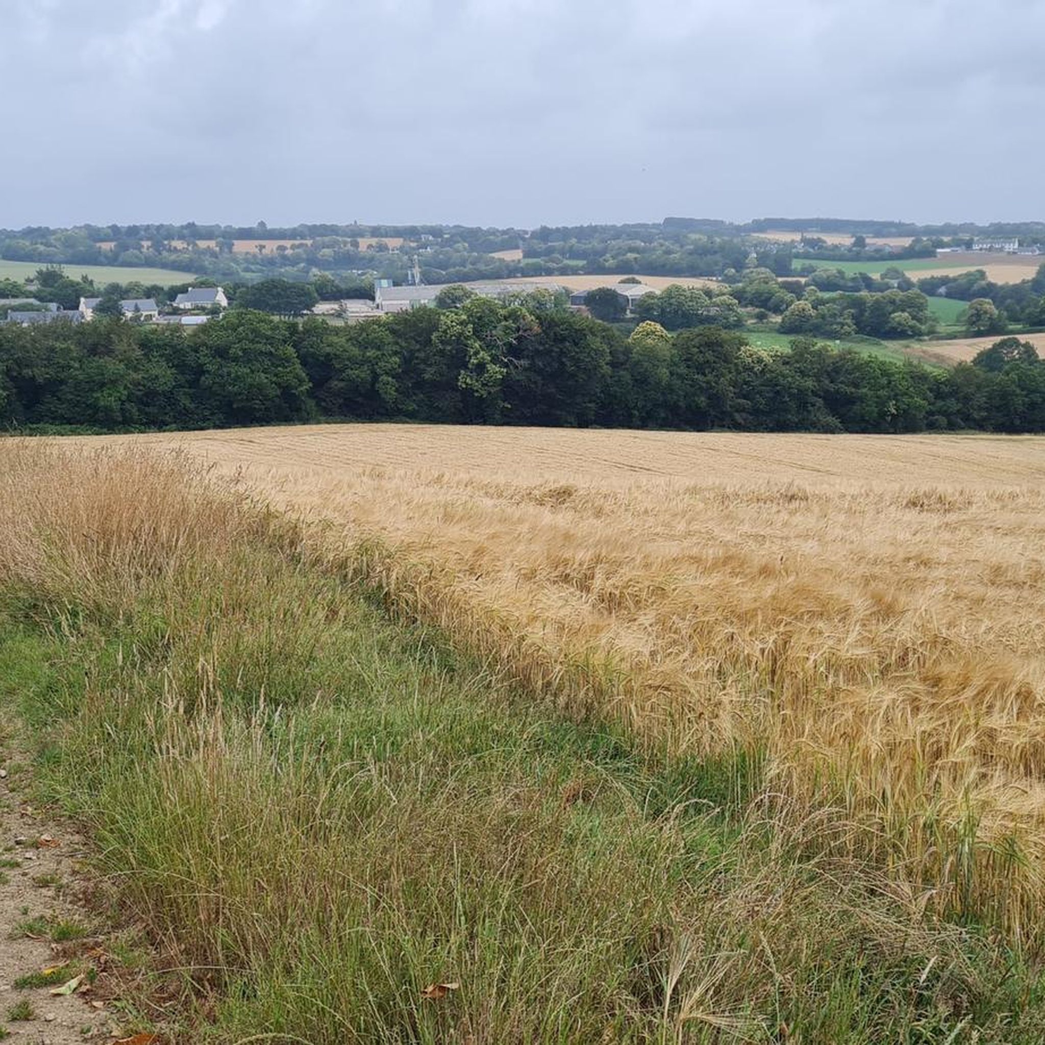
Hiking around Landrévarzec offers exploration through the verdant Finistère region of Brittany, France. The area features lush, green environments, including extensive woods and forests, which provide a picturesque setting for outdoor activities. Trails often traverse wooded valleys and offer scenic views of rivers, such as the Odet, and natural features like the Gorges du Stangala. The landscape is characterized by its rich natural environment, with varied terrain suitable for different hiking abilities.
Best hiking trails around Landrévarzec
- The most popular hiking route is Gorges du Stangala Loop, a 5.1 miles (8.3 km) trail that takes 2 hours 20 minutes to complete. This route explores a wooded valley with river views and historical sites.
- Another top favourite among local hikers is Banks of the Odet River – L'Odet loop from Tréouzon Vihan, an easy 3.3 miles (5.3 km) path. This trail highlights the natural beauty of the Odet riverbanks within a green landscape.
- Local hikers also love the Meihl Poul Spring – Bridge over the Odet loop from Quélennec, a 4.6 miles (7.4 km) trail leading through wooded valleys and along the Odet River, often completed in about 2 hours 6 minutes.
- Hiking around Landrévarzec is defined by wooded valleys, the Odet River, and the Gorges du Stangala. The network offers options for different ability levels, from easy walks to more moderate routes.
- The routes in Landrévarzec are highly rated by the komoot community with an average score of 4.6 stars from more than 400 reviews. More than 2,800 hikers have used komoot to explore Landrévarzec's varied terrain.
Last updated: July 9, 2026
4.6
(72)
246
hikers
8.29km
02:20
170m
170m
Moderate hike. Good fitness required. Easily-accessible paths. Suitable for all skill levels.
4.7
(39)
137
hikers
5.27km
01:28
100m
100m
Easy hike. Great for any fitness level. Easily-accessible paths. Suitable for all skill levels.

Sign up for free
4.5
(24)
127
hikers
7.15km
02:02
150m
150m
Moderate hike. Good fitness required. Easily-accessible paths. Suitable for all skill levels.
4.0
(6)
32
hikers
11.4km
03:10
210m
210m
Moderate hike. Good fitness required. Easily-accessible paths. Suitable for all skill levels.
4.7
(6)
40
hikers
3.99km
01:07
80m
80m
Easy hike. Great for any fitness level. Easily-accessible paths. Suitable for all skill levels.
Get access to more routes and recommendations from other explorers.
Sign up for free
Already have an account?
Our route recommendations are based on thousands of hikes, rides, and runs completed by other people on komoot.
Start today with a free account
Your next adventure awaits.
Login or Signup


Tips from the Community

A fabulous vantage point overlooking the wooded valley, which from here upstream is also referred to as a gorge. No sounds of civilization spoil the experience. In dry weather, the rocks offer a perfect resting place.
1
1
You can also reach this point on foot via the GR 38, which also runs along one of the Ways of St. James (yellow and blue crossbars), from Quimper's old town. You can then continue along the trail down to the Odet River (white and red crossbars) or take the rustic path above the river to the viewpoint above the Stangala Gorge (yellow crossbar).
1
2

Beautiful path that runs along the river in the shade of the forest.
1
0

The source of a stream that does not yet know how short its journey is to a larger river and the sea.
0
0
Beautifully clear water over pebble bottom
0
0
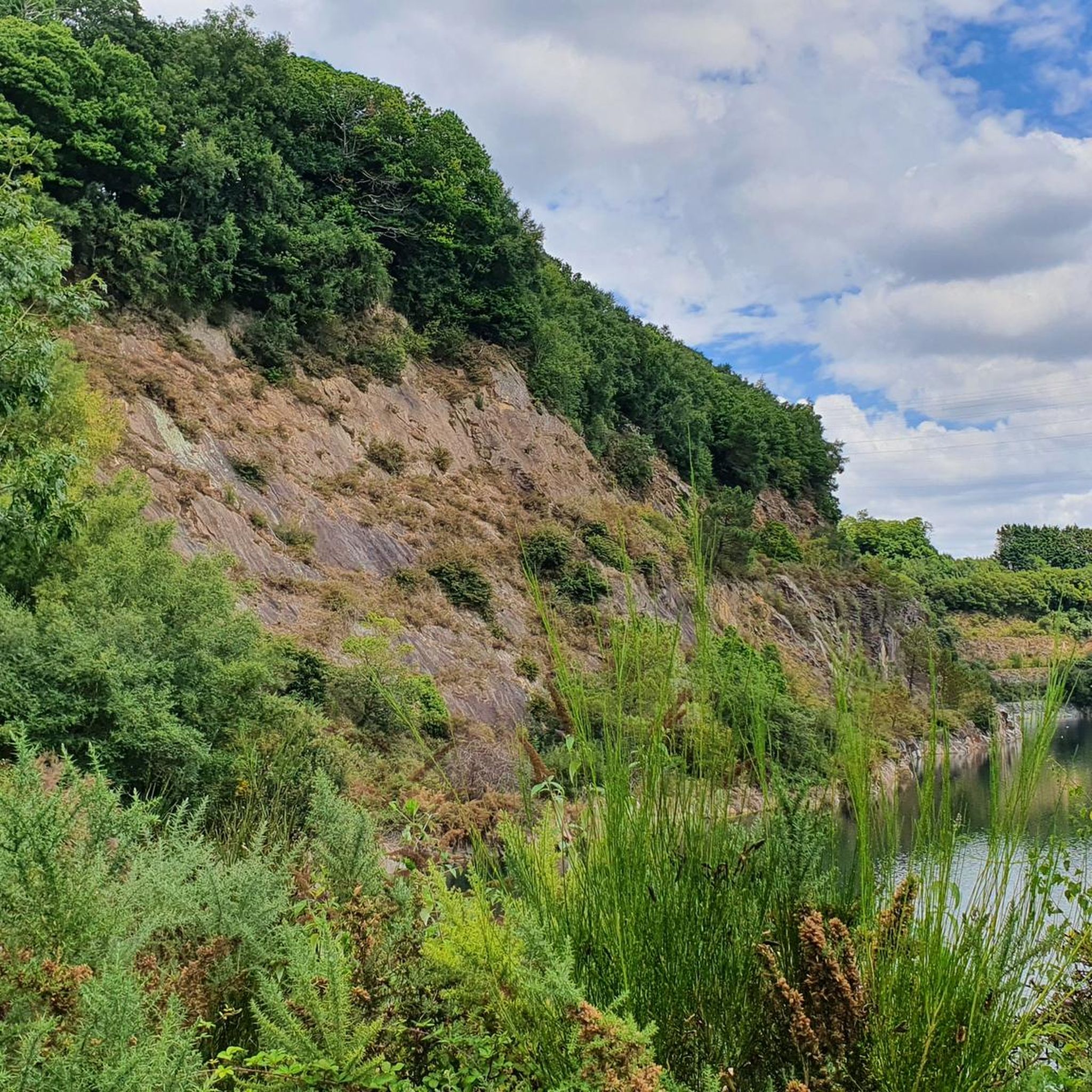
A little further on you have a view of an old quarry lake.
1
0

Big descents, big short or long climbs, with simple or difficult technique. Just magnificent views of the valley. I went there the first time, I told myself I would go back as soon as I had the chance! Paths in all directions for enduro riding. everything we love about mountain biking
1
0

Wooden bridge with a river view
0
0
Frequently Asked Questions
What kind of terrain can I expect on hiking trails around Landrévarzec?
Hiking around Landrévarzec primarily features lush, green environments with extensive woods and forests. You'll often traverse wooded valleys and enjoy scenic views of rivers, particularly the Odet. The area is also known for natural features like the Gorges du Stangala, offering varied terrain suitable for different hiking abilities.
Are there many hiking trails available in Landrévarzec?
Yes, Landrévarzec offers a wide selection of hiking opportunities. There are over 120 recorded hiking routes in the area, catering to various preferences and fitness levels.
Are there any easy hiking trails suitable for beginners or families?
Absolutely. Landrévarzec has many easy trails perfect for families or those seeking a relaxed walk. For example, the Banks of the Odet River – L'Odet loop from Tréouzon Vihan is an easy 3.3-mile (5.3 km) path that highlights the natural beauty of the Odet riverbanks within a green landscape.
Can I find circular hiking routes in Landrévarzec?
Yes, many of the trails in Landrévarzec are circular, allowing you to start and end at the same point. A popular option is the Gorges du Stangala Loop, which is a 5.1-mile (8.3 km) trail exploring a wooded valley with river views and historical sites.
What are the typical durations for hikes in this region?
Hiking durations vary widely depending on the trail's length and difficulty. Easy walks can take around 1.5 to 2 hours, while moderate routes might extend to 3-5 hours. For instance, the Meihl Poul Spring – Bridge over the Odet loop from Quélennec is typically completed in about 2 hours and 6 minutes.
Are dogs allowed on the hiking trails in Landrévarzec?
Generally, dogs are welcome on hiking trails in the Landrévarzec area, especially in natural, wooded environments. However, it's always recommended to keep them on a leash, especially in protected areas or when encountering wildlife, and to check specific trail regulations if posted.
What historical sites or landmarks can I see while hiking?
Some hiking routes, like the Gorges du Stangala Loop, integrate historical sites into the natural scenery. Beyond the trails, the region is close to cultural centers like Quimper, with its historic old town and the Cathédrale Saint-Corentin, and the charming medieval town of Locronan.
What is the best time of year to go hiking in Landrévarzec?
The Finistère region, including Landrévarzec, is beautiful throughout much of the year. Spring and autumn offer pleasant temperatures and vibrant natural colors, making them ideal for hiking. Summer is also popular, though trails can be busier. Even winter hiking can be enjoyable in the extensive woodlands.
Are there any trails that offer views of the Odet River?
Yes, the Odet River is a prominent natural feature in the area, and many trails offer scenic views of its banks and valleys. The Banks of the Odet River – L'Odet loop from Tréouzon Vihan is specifically designed to highlight the river's beauty.
What do other hikers enjoy most about hiking in Landrévarzec?
The area is highly rated by the komoot community, with an average score of 4.6 stars from over 400 reviews. Reviewers often praise the diverse trails, the serene wooded valleys, and the picturesque river views, particularly around the Gorges du Stangala and the Odet River.
Is parking available at the trailheads in Landrévarzec?
While specific parking details vary by trailhead, many popular hiking routes in Landrévarzec, especially those starting from villages or known natural sites, typically have designated parking areas nearby. It's advisable to check the route details on komoot for specific starting points and parking information.
Are there any challenging hikes for experienced hikers?
While Landrévarzec offers many easy to moderate trails, there are also options for more experienced hikers seeking a challenge. The region's varied terrain, including some routes with more significant elevation gains, can provide a more strenuous experience. You can find a few difficult routes among the over 120 available.
Most popular routes around Landrévarzec
Most popular attractions around Landrévarzec

Get inspired with the komoot mobile app


Explore more
Browse the best Hikes in other regions.
