The best road cycling routes around Kilstedt
4.5
(487)
7,668
riders
300
rides
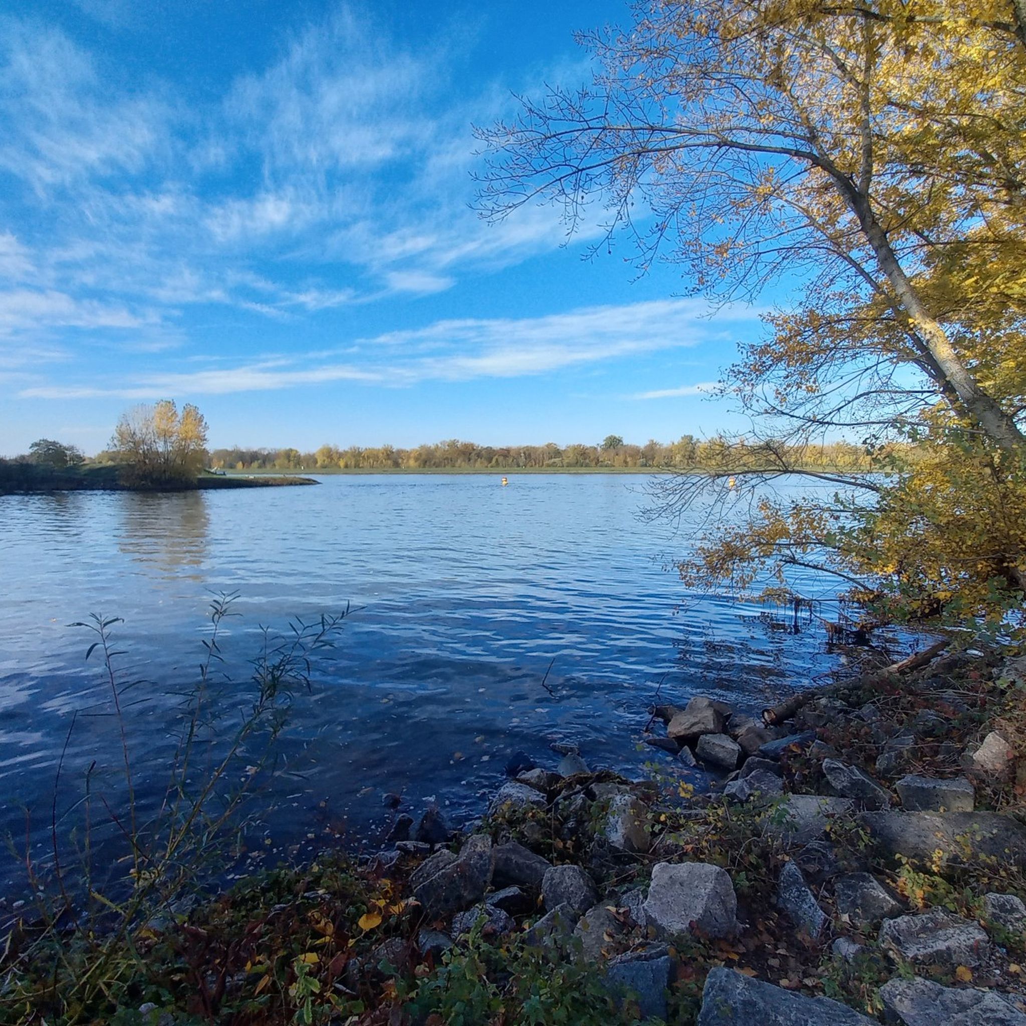
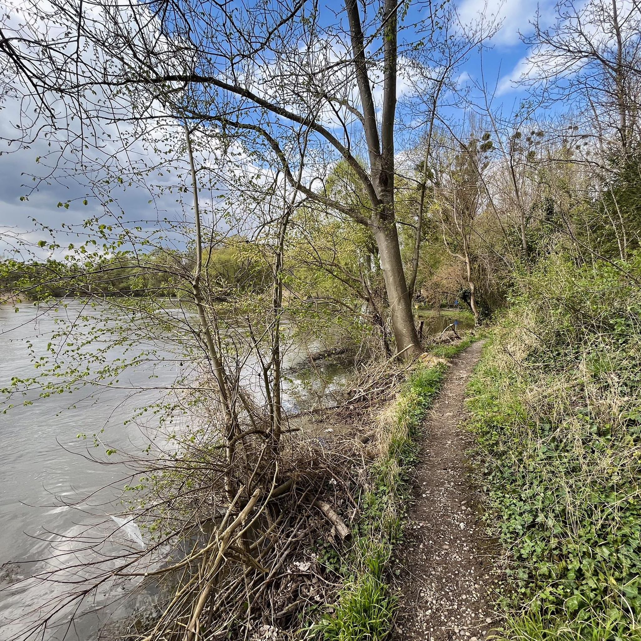
Road cycling routes around Kilstedt primarily traverse flat to gently rolling terrain, characterized by a network of canals and rivers. The region features routes alongside waterways such as the Canal de la Marne au Rhin and the Ill River, with minimal elevation changes. Road cyclists can expect paths that follow riverbanks and canals, offering consistent gradients. The landscape is defined by these water features and the surrounding open areas.
Best road cycling routes around Kilstedt
- The most popular road cycling…
Last updated: October 25, 2026
4.8
(8)
241
riders
73.3km
03:14
480m
480m
Moderate road ride. Good fitness required. Mostly well-paved surfaces and easy to ride.
5.0
(1)
128
riders
109km
05:06
1,110m
1,110m
Hard road ride. Very good fitness required. Some segments of this route may be unpaved and difficult to ride.

4.4
(8)
115
riders
Moderate road ride. Good fitness required. Mostly well-paved surfaces and easy to ride.
3.9
(33)
78
riders
33.6km
01:22
40m
40m
Easy road ride. Mostly well-paved surfaces and easy to ride.
4.0
(2)
81
riders
89.2km
04:08
980m
980m
Hard road ride. Very good fitness required. Mostly well-paved surfaces and easy to ride.
Get access to more routes and recommendations from other explorers.
Already have an account?
Our route recommendations are based on thousands of hikes, rides, and runs completed by other people on komoot.
Start today with a free account
Your next adventure awaits.
Tips from the Community

Great trails with a view over the Rhine valley 😍
0
0

Great view over the Rhine and Strasbourg
0
0

Beautiful baroque chapel on the edge of the forest above Bottenau, visible from afar from the vineyards. The Way of St. James passes here. A Lourdes grotto also serves as a place of pilgrimage nearby.
7
0

Quiet connection without cars 👍🏻
0
0

Between the Rhine bridges is the border with France
0
0

Super beautiful cycle path along the Rhine.
0
0
Beautiful cycle path through the nature reserve.
0
0

Coming from Kappelrocke, it's the first small test before turning right down in the valley via Sasbachwalden, Brandmatt, up onto the B500, and finally the Hornisgrinde with its Bismarck Tower. A beautiful tour that every cyclist should do at least once in their life, even if it's just the colossal climb up the Knetschwasen followed by a rapid descent. And the latter also applies to the climb from Obersasbach towards Kappelrodeck.
0
0
Frequently Asked Questions
What kind of terrain can I expect when road cycling in Kilstedt?
Road cycling routes around Kilstedt primarily feature flat to gently rolling terrain. You'll find many paths alongside waterways such as the Canal de la Marne au Rhin and the Ill River, with minimal elevation changes. The landscape is defined by these water features and surrounding open areas, offering consistent gradients.
Are there road cycling routes suitable for beginners in Kilstedt?
Yes, Kilstedt offers several easy road cycling routes perfect for beginners. Out of 17 available routes, 8 are classified as easy. A great option is the Kaelben – Canal de la Marne au Rhin loop from Kilstett, which is 16.6 miles (26.8 km) and follows the scenic canal.
Are there any challenging road cycling routes in Kilstedt?
While Kilstedt's terrain is generally flat to gently rolling, there are moderate routes that offer a bit more distance and slight elevation changes for those seeking a longer ride. For example, the The Ill – Mairie loop from Kilstett is a 35.0 miles (56.4 km) trail that leads through the Ill River area and is classified as moderate.
What are some scenic viewpoints or attractions along the road cycling routes in Kilstedt?
Many routes offer scenic views of the region's waterways. You can enjoy sights like the Rheinau-Gambsheim Lock and the Rheinau Hydroelectric Dam on routes such as the Rheinau-Gambsheim Lock – Rheinau Hydroelectric Dam loop from Kilstett. Additionally, you might encounter natural monuments like the Kalbsgiessen Waterfall or the Confluence of the Rench and the Rhine.
Are there any family-friendly road cycling options in Kilstedt?
Given the predominantly flat and gently rolling terrain, many of Kilstedt's easy routes are suitable for families. The paths along canals and rivers provide a safe and enjoyable environment for cyclists of all ages. The Kaelben – Canal de la Marne au Rhin loop from Kilstett is a good example of a relatively short and easy route.
What do other road cyclists enjoy most about road cycling in Kilstedt?
The komoot community highly rates the road cycling experience in Kilstedt, with an average score of 4.4 stars from over 200 reviews. Cyclists often praise the scenic routes along canals and rivers, the consistent gradients, and the variety of options for both easy and moderate ability levels.
Are there any loop road cycling routes available in Kilstedt?
Yes, many of the road cycling routes in Kilstedt are designed as loops, allowing you to start and end at the same point. Examples include the Kaelben – Canal de la Marne au Rhin loop from Kilstett and the Rheinau-Gambsheim Lock – Rheinau Hydroelectric Dam loop from Kilstett.
What are some notable landmarks or points of interest to explore near Kilstedt?
Beyond the cycling routes, you can explore several interesting points. These include the Ritterloch Historical Site, the Offendorf Forest Nature Reserve, and even a View of the European Parliament in Strasbourg. The Kalbsgiessen Waterfall is also a beautiful natural monument in the vicinity.
How long do road cycling routes in Kilstedt typically take to complete?
Route durations vary depending on the distance and your pace. Easy routes like the Kaelben – Canal de la Marne au Rhin loop from Kilstett (16.6 miles) can take around 1 hour. Longer, moderate routes such as the The Ill – Mairie loop from Kilstett (35.0 miles) might take approximately 2 hours 20 minutes.
Are there any routes that feature hydroelectric dams or locks?
Yes, the region's waterways are home to such structures. The Rheinau-Gambsheim Lock – Rheinau Hydroelectric Dam loop from Kilstett specifically offers views of both the Rheinau-Gambsheim Lock and the Rheinau Hydroelectric Dam, providing an interesting feature along your ride.
What are some other river areas explored by road cycling routes in Kilstedt?
Beyond the Canal de la Marne au Rhin and the Ill River, some routes also traverse areas near the Moder River. For instance, the Metal Bridge over the Moder – Goethe Memorial loop from Kilstett explores this river region.
Most popular attractions around Kilstedt

Get inspired with the komoot mobile app


Explore more
Browse the best Road cycling routes in other regions.
