The best MTB trails around Rottelsheim
4.4
(83)
447
riders
107
rides
Mountain biking near Rottelsheim offers access to diverse landscapes within the Pays de Haguenau region of Alsace. The area is characterized by the extensive lowland Haguenau Forest, which provides over 200 km of marked routes. To the west, the broader Vosges Mountains present a backdrop of rolling hills and varied terrain. Rottelsheim itself is surrounded by orchards, offering gentler paths for cycling.
Best mountain bike trails around Rottelsheim
- The most popular mountain bike trail is Schleuse Nr. 46 – Wingersheim…
Last updated: May 8, 2026
5.0
(2)
1
riders
39.2km
02:56
280m
280m
Moderate mountain bike ride. Good fitness required. Advanced riding skills necessary.
3.5
(2)
5
riders
22.5km
01:47
270m
270m
Moderate mountain bike ride. Great for any fitness level. Advanced riding skills necessary.

Sign up for free
5
riders
25.2km
01:56
200m
200m
Moderate mountain bike ride. Great for any fitness level. Advanced riding skills necessary.
4.0
(2)
6
riders
27.3km
01:59
130m
130m
Easy mountain bike ride. Great for any fitness level. Suitable for all skill levels.
4.0
(1)
9
riders
34.2km
01:46
100m
90m
Easy mountain bike ride. Great for any fitness level. Suitable for all skill levels.
Get access to more routes and recommendations from other explorers.
Sign up for free
Already have an account?
Our route recommendations are based on thousands of hikes, rides, and runs completed by other people on komoot.
Start today with a free account
Your next adventure awaits.
Login or Signup
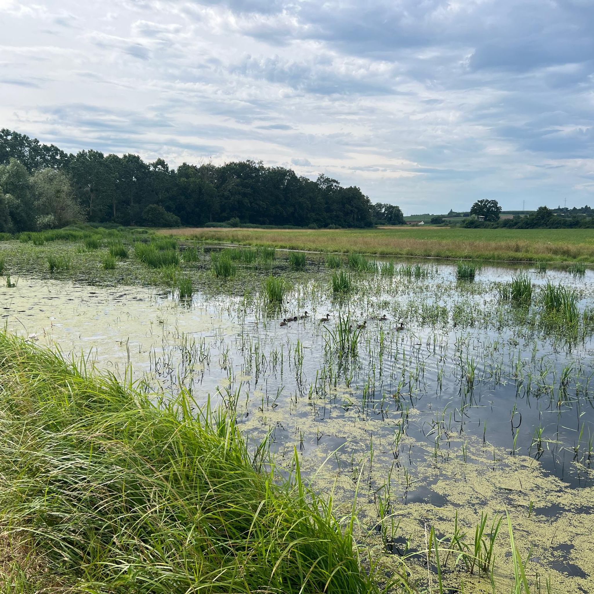
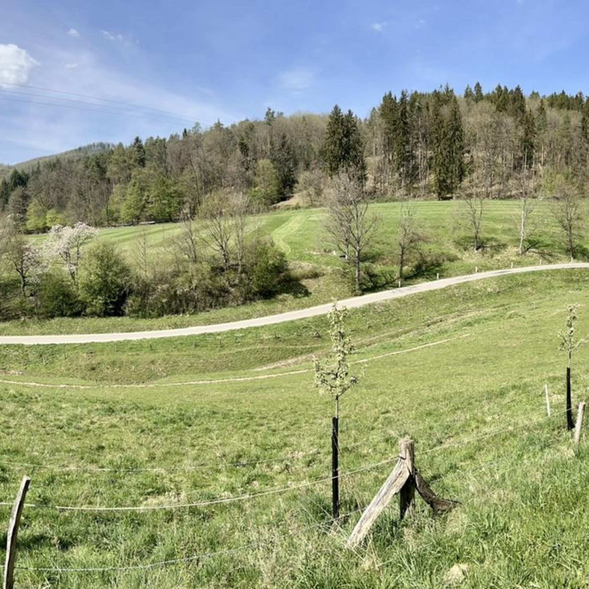

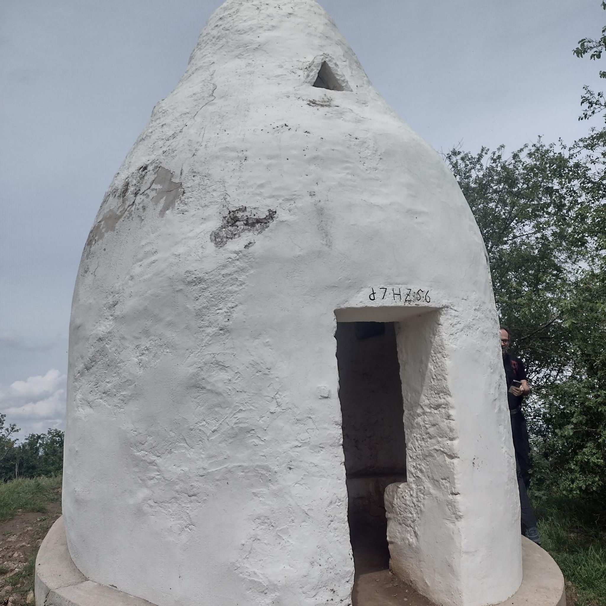
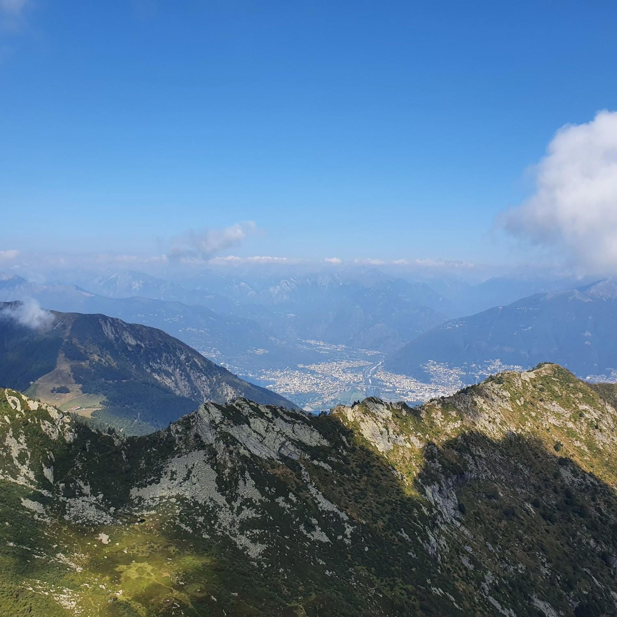
Tips from the Community

It's pretty, it's practical, it allows you to ride in peace and quiet and to ride fast (flat) but it's not very exciting...
0
0

very nice to ride. The route is often used by touring cyclists, but not too many.
2
0

This cycle path in Waltenheim An Der Zorn offers you a delightful mix of nature and tranquility as you cycle along the banks of the Marne-Rhine Canal.
3
0
The Moder River trails around Brunnenfeld offer a dynamic ride with varied terrain including rocky paths, flowing single tracks and scenic riverbanks. As you cycle, enjoy the tranquil beauty of the Moder River as it meanders through the landscape.
1
0

Former train station near Neubourg
0
0

Very well developed cycle path along the canal.
3
0
The cycle path runs straight along the canal - only for those who don't mind this.
2
1
Frequently Asked Questions
How many mountain bike trails are available around Rottelsheim?
There are over 110 mountain bike trails around Rottelsheim, offering a wide variety of options for different skill levels and preferences. The komoot community has explored these routes extensively, with more than 400 mountain bikers using komoot to discover the area.
What kind of terrain can I expect on mountain bike trails near Rottelsheim?
Mountain biking near Rottelsheim is characterized by diverse landscapes. You'll find extensive lowland forests, particularly in the nearby Haguenau Forest, which offers over 200 km of marked routes. Many trails also wind along canal paths and through agricultural areas, including the orchards Rottelsheim is known for. To the west, the broader Vosges Mountains provide a backdrop of rolling hills and more varied terrain.
Are there mountain bike trails suitable for beginners or families in the Rottelsheim area?
Yes, the Rottelsheim area offers many easy mountain bike trails perfect for beginners and families. For example, the Mountain Biking – Route loop from Brumath is an easy 16.9-mile (27.2 km) path that explores forest trails and open fields. Another great option is the Wingersheim lock – Schleuse am Kanal loop from Brumath, an easy 20.1-mile (32.4 km) trail leading through canal-side paths and agricultural landscapes. Overall, 36 of the routes are classified as easy.
Can I find more challenging mountain bike routes near Rottelsheim?
While the immediate area around Rottelsheim features many easy to moderate trails, there are options for more experienced riders. The region offers 73 moderate routes and 1 difficult route. For example, the Schleuse Nr. 46 – Wingersheim lock loop from Brumath is a moderate 15.7-mile (25.3 km) trail with some elevation gain, winding along canals and through the countryside. The broader Vosges Mountains, accessible from Rottelsheim, also offer more technical routes with significant elevation changes.
Are the mountain bike trails around Rottelsheim suitable for dogs?
Many of the trails around Rottelsheim, especially those through the Haguenau Forest and along canal paths, are generally suitable for dogs, provided they are kept on a leash and you adhere to local regulations. The tranquil countryside and forest paths offer pleasant environments for cycling with your canine companion. Always ensure your dog is well-behaved and that you carry water for them.
What are some popular loop mountain bike trails in the region?
Loop trails are very popular in the Rottelsheim area. Some highly-rated options include the Schleuse Nr. 46 – Wingersheim lock loop from Brumath, a 15.7-mile (25.3 km) moderate route. Another favorite is the Mountain Biking – Route loop from Brumath, an easy 16.9-mile (27.2 km) loop. For a slightly longer ride, consider the Wingersheim lock – Schleuse am Kanal loop from Brumath, an easy 20.1-mile (32.4 km) trail.
What attractions or natural features can I see while mountain biking near Rottelsheim?
While mountain biking near Rottelsheim, you can explore several interesting features. The Haguenau Forest itself is a "Forest of Exception®" with remarkable trees, ponds, and historical remnants. You might also encounter agricultural landscapes, including the apple orchards Rottelsheim is known for. Nearby attractions include the Vendenheim Swing Bridge and the Dislach Mill. The wider region also offers views of the Vosges Mountains.
How long do mountain bike trails typically take to complete in this area?
The duration of mountain bike trails around Rottelsheim varies depending on their length and difficulty. For instance, the popular Schleuse Nr. 46 – Wingersheim lock loop from Brumath, which is 15.7 miles (25.3 km), typically takes about 1 hour 55 minutes. An easy 20.1-mile (32.4 km) trail like the Wingersheim lock – Schleuse am Kanal loop from Brumath can be completed in about 1 hour 46 minutes. There are also longer routes, such as the Greffern Rhine Ferry – Off on the ferry loop from Brumath, which is 58.1 miles (93.5 km) and takes around 3 hours 18 minutes.
What do other mountain bikers say about the trails around Rottelsheim?
The mountain bike trails around Rottelsheim are highly rated by the komoot community, with an average score of 4.4 stars from more than 80 reviews. Reviewers often praise the quiet woodlands, well-maintained canal paths, and the pleasant, varied scenery that combines forest, open fields, and agricultural areas. Many appreciate the accessibility and the options for different skill levels.
Is there public transport access to the mountain biking areas near Rottelsheim?
Rottelsheim is a village in the Pays de Haguenau region. While direct public transport to specific trailheads might be limited, the nearby town of Brumath, which serves as a starting point for many routes, may offer better public transport connections. For detailed information on regional public transport, it's advisable to check local transport schedules for the Pays de Haguenau area.
Where can I find parking for mountain biking near Rottelsheim?
Many mountain bike routes around Rottelsheim start from Brumath, an adjoining town, where you can typically find parking facilities. When planning your route on komoot, check the tour details for specific parking recommendations or look for public parking areas in Brumath or other nearby villages that serve as trailheads.
What is the best time of year for mountain biking around Rottelsheim?
The best time for mountain biking around Rottelsheim is generally from spring through autumn (April to October). During these months, the weather is usually mild and pleasant, and the trails are in good condition. Spring brings blooming orchards, while autumn offers beautiful fall foliage in the Haguenau Forest. Winter mountain biking is possible, but conditions can be wet or muddy, and some paths might be less accessible.
Are there any long-distance mountain bike routes starting near Rottelsheim?
Yes, for those looking for longer rides, the region offers extensive options. The Greffern Rhine Ferry – Off on the ferry loop from Brumath is a significant route, spanning 58.1 miles (93.5 km) and taking over 3 hours to complete. This route provides a more extended exploration of the wider area, including a ferry crossing, and is rated as moderate.
Most popular routes around Rottelsheim
Most popular attractions around Rottelsheim

Get inspired with the komoot mobile app


Explore more
Browse the best MTB trails in other regions.
