The best walks and hikes around Grandrif
4.6
(378)
1,921
hikers
18
hikes
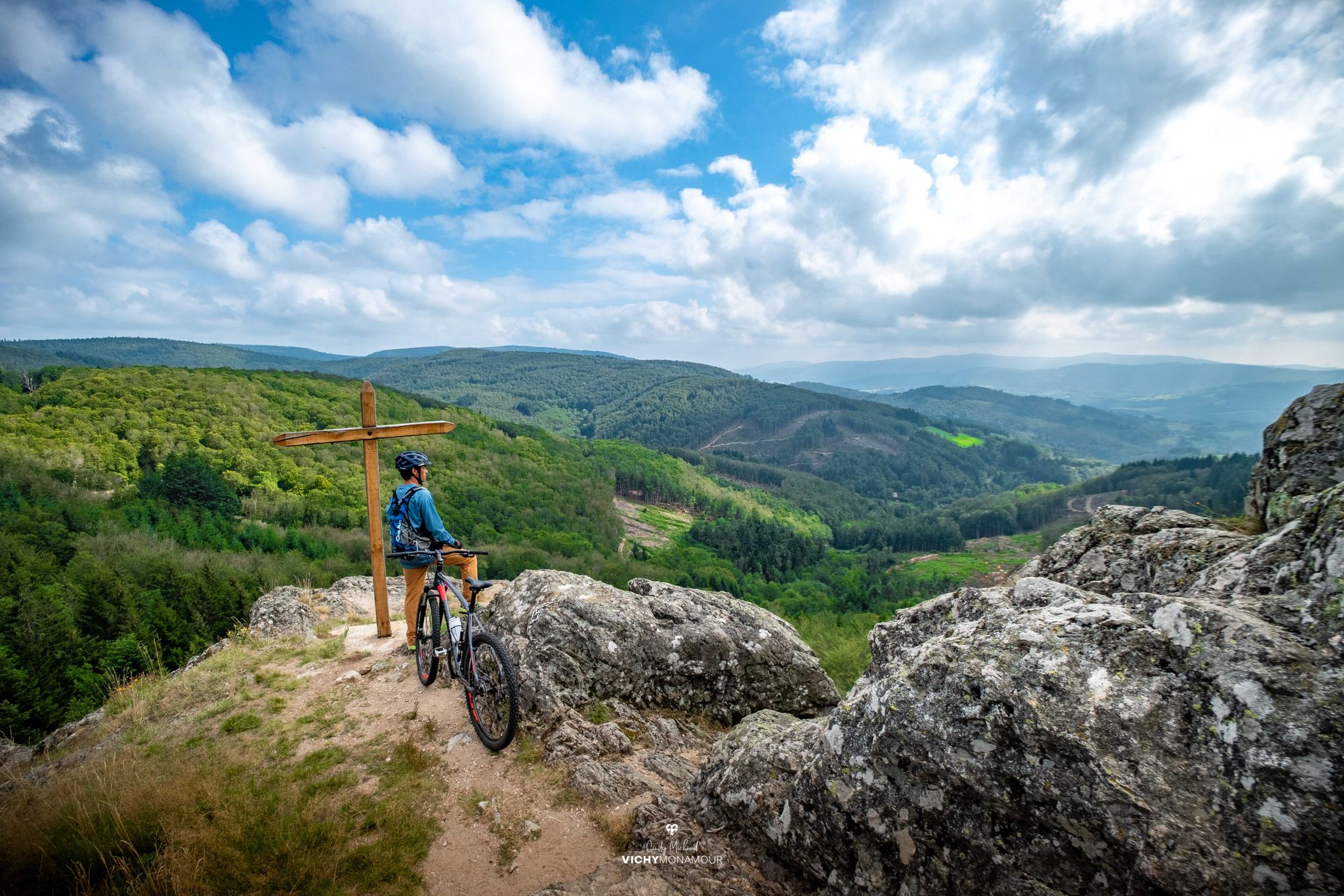
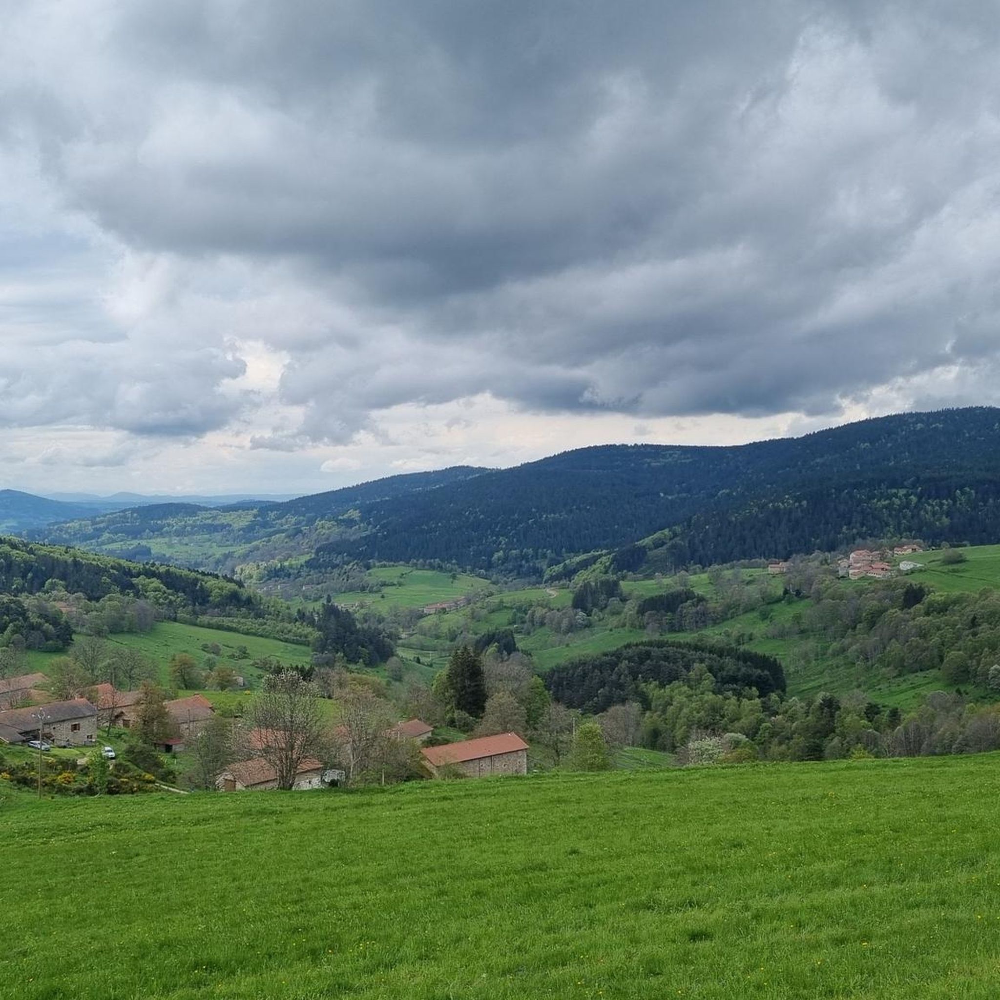
Hiking around Grandrif offers diverse terrain within the Livradois-Forez Regional Natural Park. The region is characterized by the western slopes of the Forez mountains, with altitudes ranging from 679 to 1424 meters. Extensive forests cover approximately 65% of the territory, interspersed with rivers such as the Dolore, Dore, and Ance. Higher elevations feature Hautes-Chaumes and peat bogs, providing varied landscapes for exploration.
Best hiking trails around Grandrif
- The most popular hiking route is Lac des Pradaux – Pradeaux Dam loop…
Last updated: June 29, 2026
4.8
(20)
102
hikers
7.09km
01:55
100m
100m
Easy hike. Great for any fitness level. Easily-accessible paths. Suitable for all skill levels.
4.6
(9)
46
hikers
6.15km
01:40
80m
90m
Easy hike. Great for any fitness level. Easily-accessible paths. Suitable for all skill levels.

Sign up for free
5.0
(1)
10
hikers
9.27km
02:34
160m
160m
Moderate hike. Good fitness required. Easily-accessible paths. Suitable for all skill levels.
5.0
(2)
8
hikers
5.34km
01:30
110m
110m
Easy hike. Great for any fitness level. Easily-accessible paths. Suitable for all skill levels.
4.0
(1)
9
hikers
13.2km
03:36
190m
190m
Moderate hike. Good fitness required. Easily-accessible paths. Suitable for all skill levels.
Get access to more routes and recommendations from other explorers.
Sign up for free
Already have an account?
Our route recommendations are based on thousands of hikes, rides, and runs completed by other people on komoot.
Start today with a free account
Your next adventure awaits.
Login or Signup

Other adventures around Grandrif

Tips from the Community

Reserved for users of ravine paths with stones.
0
0

The view is superb, the surrounding paths are great!
0
0

The Col des Pradeaux which I have climbed several times since my installation in Ambert. A must with the Col des Supeyres.
0
0

Located in the heart of the Forez mountains, the hamlet of Jasseries de la Fayolle is typical of the region. It is built parallel to the slope in order to protect against the winds.
0
0
Built in the late 1940s on the Stream of Hell, this dam rises to 1,196 meters next to the pass of the same name. This location offers an ideal setting for a walk or for fishing.
0
0
The Col des Pradeaux is located at an altitude of 1,195 meters. It connects the Ance valley and the Dore valley. An inn located at the pass allows you to take a short break before resuming your journey.
0
0

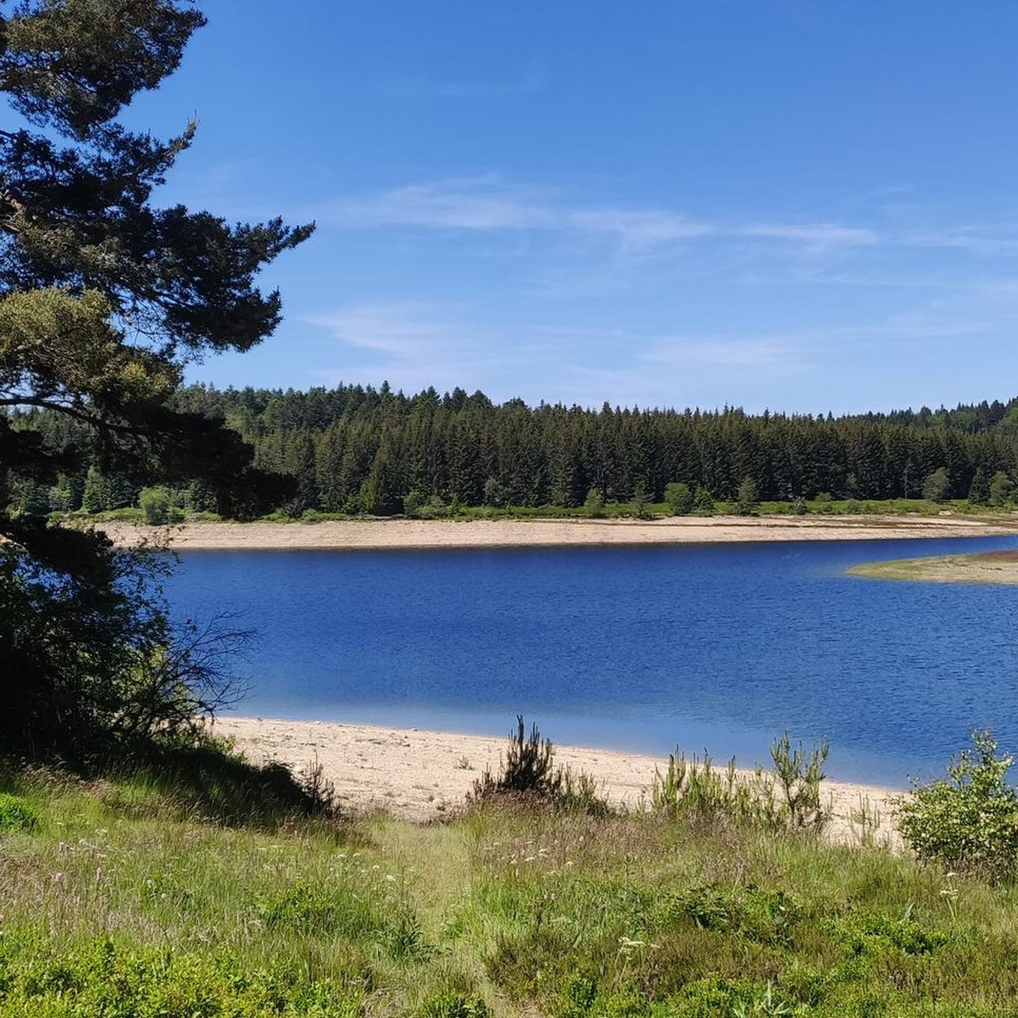
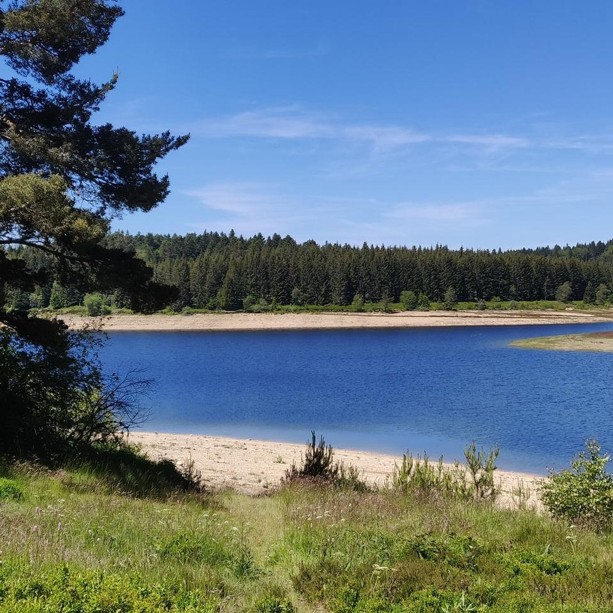
You can go around the entire lake on beautiful hiking trails; in summer on foot, in winter on cross-country skis
2
0
Reservoir above Ambert. The region invites you to wonderful hikes and walks, pure nature and not overcrowded at all.
4
0
Frequently Asked Questions
What kind of terrain can I expect on hikes around Grandrif?
Hiking around Grandrif offers a diverse landscape within the Livradois-Forez Regional Natural Park. You'll find trails winding through extensive forests, alongside rivers like the Dolore, Dore, and Ance, and ascending the western slopes of the Forez mountains. Higher elevations feature unique 'Hautes-Chaumes' (high stubble grasslands) and mysterious peat bogs. The region also boasts volcanic formations, such as the basaltic organs at Montpeloux.
Are there hiking options for all skill levels in Grandrif?
Yes, Grandrif provides a variety of hiking trails suitable for different abilities. There are 8 easy routes perfect for leisurely strolls, 9 moderate trails for those seeking a bit more challenge, and 1 difficult route for experienced hikers looking for a demanding trek.
Are there any waterfalls to see on hikes near Grandrif?
Yes, the region is home to the picturesque Creux de l'Oulette and its waterfall. A loop trail encompassing the Creux de l'Oulette and the Montpeloux volcano is mentioned as a specific hiking route, offering a chance to experience this natural feature.
What natural landmarks or points of interest can I explore while hiking?
Beyond the diverse landscapes, you can discover several notable landmarks. The volcanic crater of Montpeloux features impressive basaltic organs. The Barrage des Pradeaux, France's first hydroelectric dam, is a significant site with a large reservoir. You might also encounter the naturally occurring ferruginous gaseous spring at La Jarpe. For higher views, consider visiting Col des Supeyres or Col des Pradeaux.
Are there any circular walks available in Grandrif?
Yes, many of the trails around Grandrif are circular, allowing you to start and end at the same point. For example, the moderate Pradeaux Dam – Col des Pradeaux loop from Les Pradeaux offers a longer circular option, while the Col des Pradeaux – Pradeaux dam loop from Les Pradeaux is a shorter moderate choice.
What do other hikers enjoy the most about hiking in Grandrif?
The area is highly rated by the komoot community, with an average score of 4.6 stars from over 300 reviews. Hikers often praise the diverse and preserved natural environment, the serene forests, and the picturesque river valleys. The variety of trails, from easy dam loops to more challenging mountain ascents, is also frequently highlighted.
Can I bring my dog on the hiking trails in Grandrif?
The Livradois-Forez Regional Natural Park, where Grandrif is located, is generally dog-friendly. However, it's always recommended to keep dogs on a leash, especially in areas with livestock or protected wildlife, and to check specific trail regulations before you go. Most trails are suitable for dogs, provided they are well-behaved and under control.
Are there any family-friendly hiking routes in Grandrif?
Yes, Grandrif offers several easy routes that are suitable for families. The trails around the Pradeaux Dam are particularly popular for their gentle gradients and scenic views, making them ideal for walks with children. These routes are generally shorter and less strenuous, providing an enjoyable outdoor experience for all ages.
What is the best season for hiking in Grandrif?
Grandrif offers hiking opportunities throughout much of the year. Spring and autumn provide pleasant temperatures and beautiful scenery with blooming wildflowers or vibrant fall foliage. Summer is also popular, though higher elevations can offer cooler air. In winter, the region transforms into a nordic domain, suitable for snowshoeing and cross-country skiing, but hiking trails may be snow-covered.
Are there any historical sites or abandoned villages to discover on the trails?
Yes, some trails offer glimpses into the region's history. For instance, a walk along the Dolore and Dore rivers, such as the 'Around the Chalas Dam' route, can reveal historical sites like the abandoned village of Issandolanges and the ruins of the Clavelier Tower, adding a cultural dimension to your hike.
How long do hikes around Grandrif typically take?
Hike durations vary significantly depending on the route and your pace. Easy trails, like those around the Pradeaux Dam, can be completed in about 1.5 to 2 hours. Moderate routes, such as the Col des Pradeaux – Pradeaux dam loop from Les Pradeaux, might take around 2.5 to 3 hours. Longer, more challenging routes can extend to 4-5 hours or more.
Are there places to eat or drink near the hiking trails?
While specific cafes or pubs directly on every trail are not guaranteed, the Livradois-Forez Regional Natural Park often provides resources that highlight dining options in nearby villages. It's advisable to check local information or the 'Livradois-Forez Rando' application for suggestions on places to eat or drink before or after your hike.
Most popular attractions around Grandrif

Get inspired with the komoot mobile app


Explore more
Browse the best Hikes in other regions.
