The best walks and hikes around Saint-Pierre-La-Bourlhonne
4.7
(124)
842
hikers
24
hikes
Hiking around Saint-Pierre-La-Bourlhonne offers diverse outdoor experiences within the Livradois-Forez Regional Nature Park. The terrain features the Forez mountains, including Pierre-sur-Haute, the highest point at 1,634 meters, and various mountain passes like Col du Béal and Col de la Loge. The region is characterized by serene woods and expansive landscapes, providing varied elevation and natural features for exploration.
Best hiking trails around Saint-Pierre-La-Bourlhonne
- The most popular hiking route is Croix du Fossat – Béal Pass loop from Col du Béal, a 11.6 miles (18.6 km) trail that takes 5 hours 30 minutes to complete. This difficult route offers extensive views across the high-altitude landscapes.
- Another top favourite among local hikers is Summit of Peyre Mayou – Béal Pass loop from Col du Béal, a moderate 4.4 miles (7.0 km) path. This trail navigates through varied terrain, including open areas and sections near the Col du Béal.
- Local hikers also love the Béal Pass – Pierre–sur–Haute loop from Col du Béal, a 7.2 miles (11.6 km) trail leading through the high Forez mountains, often completed in about 3 hours 20 minutes.
- Hiking around Saint-Pierre-La-Bourlhonne is defined by high-altitude passes, dense woods, and the expansive landscapes of the Livradois-Forez Regional Nature Park. The network of trails offers options for easy strolls, moderate excursions, and challenging treks.
- The routes in Saint-Pierre-La-Bourlhonne are highly rated by the komoot community with an average score of 4.7 stars from over 100 reviews. More than 800 hikers have used komoot to explore Saint-Pierre-La-Bourlhonne's varied terrain.
Last updated: May 12, 2026
4.8
(12)
106
hikers
18.6km
05:31
550m
540m
Hard hike. Very good fitness required. Easily-accessible paths. Suitable for all skill levels.
4.5
(4)
24
hikers
7.01km
02:06
210m
210m
Moderate hike. Good fitness required. Easily-accessible paths. Suitable for all skill levels.

Sign up for free
5.0
(5)
39
hikers
11.5km
03:20
290m
290m
Moderate hike. Good fitness required. Easily-accessible paths. Suitable for all skill levels.
5.0
(3)
27
hikers
14.7km
04:43
610m
600m
Moderate hike. Good fitness required. Easily-accessible paths. Suitable for all skill levels.
5.0
(1)
17
hikers
19.7km
05:57
640m
640m
Hard hike. Very good fitness required. Easily-accessible paths. Suitable for all skill levels.
Get access to more routes and recommendations from other explorers.
Sign up for free
Already have an account?
Our route recommendations are based on thousands of hikes, rides, and runs completed by other people on komoot.
Start today with a free account
Your next adventure awaits.
Login or Signup
Tips from the Community

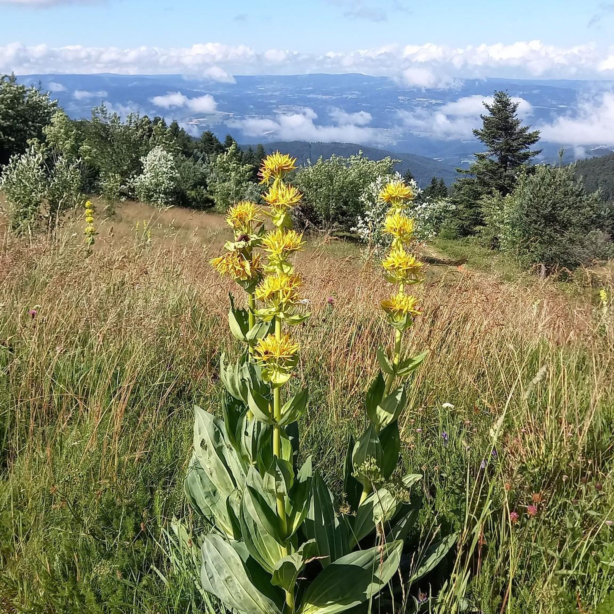
This path lives up to its name, especially in spring when the meadows it crosses are adorned with their most beautiful colors.
0
0

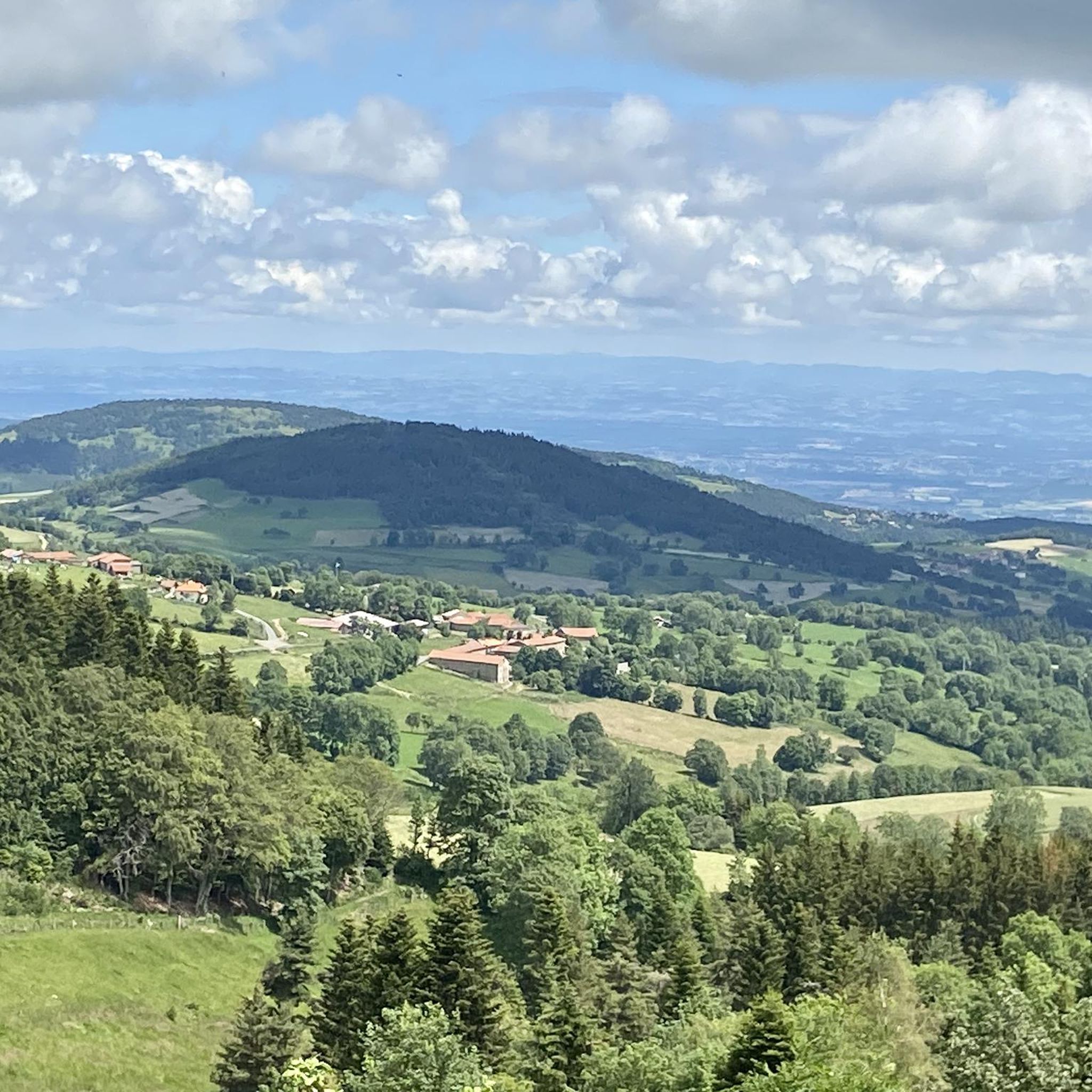
A breathtaking view that is worth the effort and wild landscapes! What a natural spectacle, wow! Undeniably one of the places not to be missed in Auvergne.
1
0

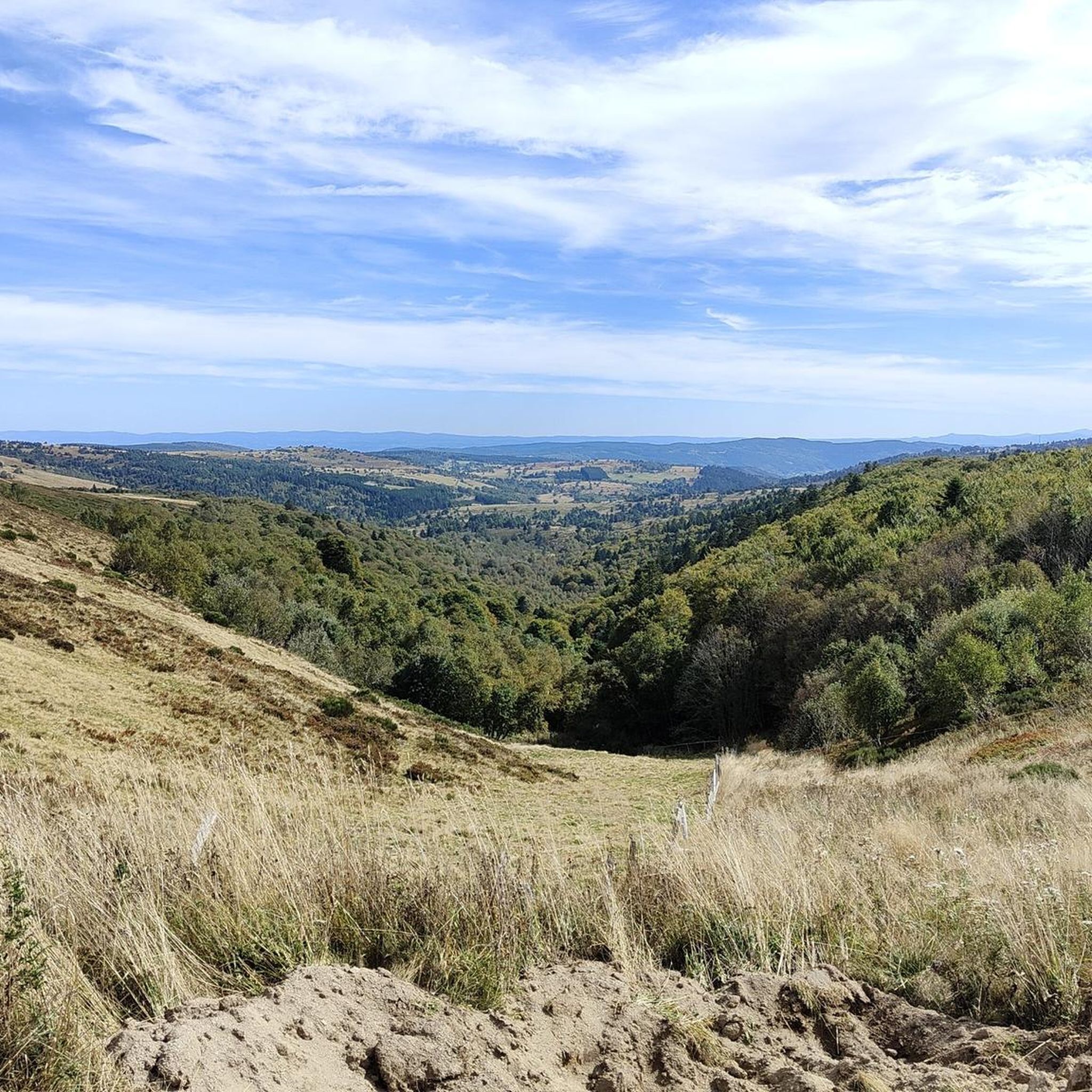
A magnificent place with a view of a plateau. A very nice hike without any major difficulty.
1
0

I have been cycling this route for over 40 years and I never get tired of it.
0
0

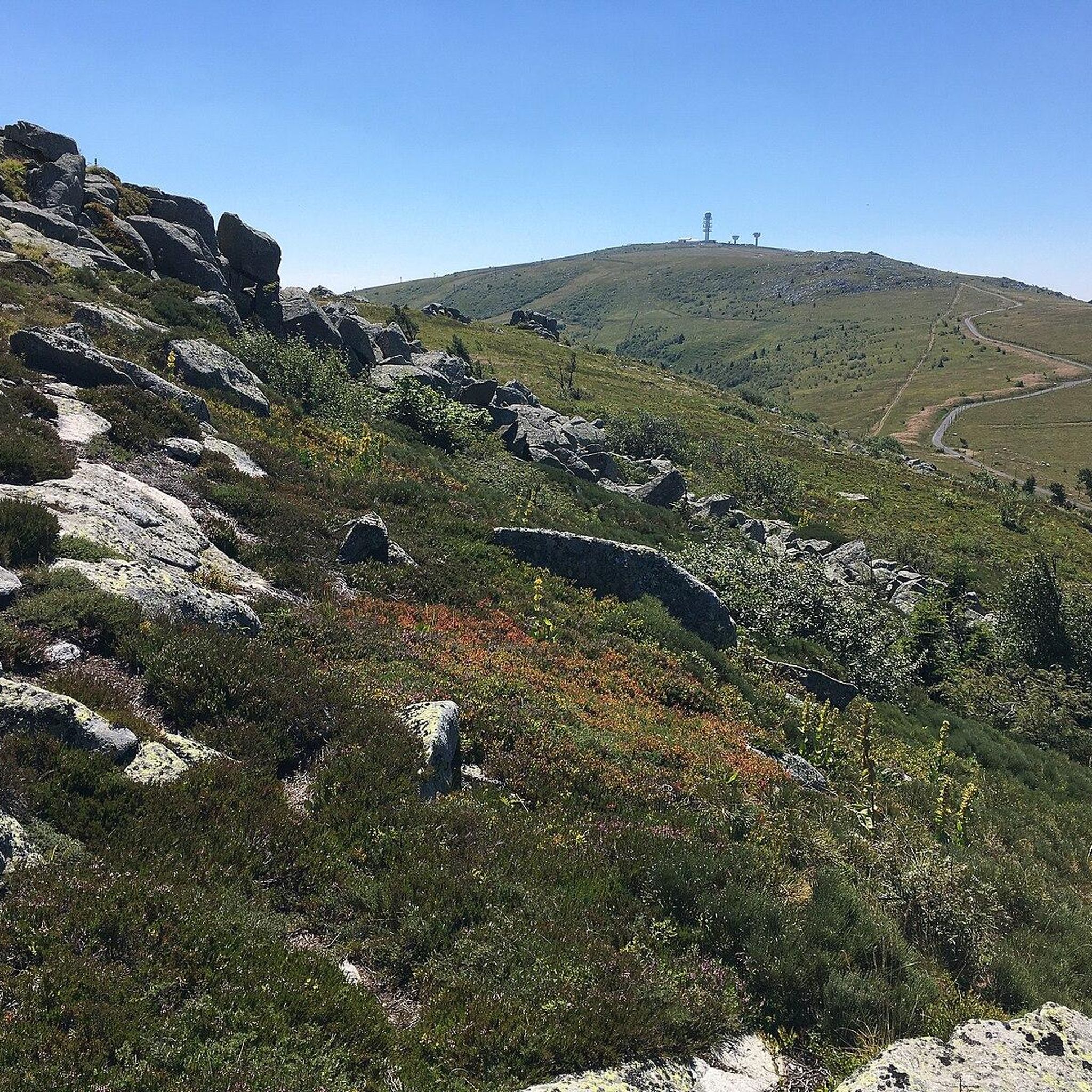
The highest point of the Forez mountains, Pierre-sur-Haute rises to an altitude of 1,634 meters. At the summit, terrestrial and military broadcasting antennas were erected by NATO during the Cold War. They are still in operation today.
0
0

This is the highest point of the Monts du Drill, a few minutes from the Col du Beal, it offers a 360° panorama of the entire region.
1
0

Very nice connection between Le Béal and Les Supeyres!
0
0

To the south, after passing the aerials, the plateaus and the reserve of Jasseries de Colleigne come into view. The track is a delight in gravel
0
0
Frequently Asked Questions
What types of hiking trails can I expect around Saint-Pierre-La-Bourlhonne?
The region offers a diverse range of trails within the Livradois-Forez Regional Nature Park. You'll find everything from easy strolls through serene woods to challenging treks across high-altitude landscapes. There are 24 hiking routes in total, including 11 easy, 11 moderate, and 2 difficult options.
Are there any easy or beginner-friendly hiking routes in the area?
Yes, Saint-Pierre-La-Bourlhonne has 11 easy hiking routes suitable for beginners or those looking for a relaxed walk. These trails often navigate through tranquil forests and offer gentle elevation changes, perfect for enjoying the natural beauty without strenuous effort.
What are the notable natural features or landmarks to see while hiking?
The area is rich in natural beauty and significant landmarks. You can explore high-altitude passes like Béal Pass and Col de la Loge, which offer stunning vistas. The highest point, Pierre–sur–Haute, provides expansive 360-degree panoramic views of the entire region.
Are there any circular hiking routes available?
Yes, many routes in the area are circular, allowing you to start and end at the same point. An example is the moderate Béal Pass – Pierre–sur–Haute loop from Col du Béal, which covers 11.6 km and takes about 3 hours 20 minutes.
What is the terrain like on the hiking trails?
The terrain varies significantly, ranging from dense, serene woods to expansive, wild high-altitude landscapes. You'll encounter varied elevation, especially in the Forez mountains, with some trails leading over mountain passes and others through open areas. The Livradois-Forez Regional Nature Park offers a mix of well-maintained paths and more rugged sections.
What do other hikers say about the trails in Saint-Pierre-La-Bourlhonne?
The komoot community highly rates the hiking experience here, with an average score of 4.7 stars from over 100 reviews. Hikers often praise the breathtaking views, the wild and preserved landscapes, and the diverse range of trails suitable for various fitness levels.
Are there any challenging hikes for experienced trekkers?
Yes, for experienced trekkers, there are 2 difficult routes. One such challenging option is the Béal Pass – View of Chalmazel loop from Col du Béal, which spans nearly 20 km and involves significant elevation gain, offering extensive views across the high-altitude landscapes.
Is there parking available at the trailheads?
Many popular trailheads, such as those around Col du Béal and Col de la Loge, are known starting points for various trails and typically offer parking facilities. It's advisable to check specific route details for parking information.
Are there any places to eat or stay near the hiking trails?
Yes, the region offers amenities for hikers. For instance, Col de la Loge features a chalet-auberge, which can be a good spot for refreshments or accommodation. The Refuge du Garnier is another option for those seeking a hut experience.
What is the best time of year to go hiking in Saint-Pierre-La-Bourlhonne?
The summer months are particularly inviting for hiking, with tranquil forests providing a pleasant environment. However, the diverse landscapes offer unique experiences throughout the year. During winter, areas like Col de la Loge become gateways to cross-country skiing trails, indicating that the region is accessible for outdoor activities in different seasons.
Are the hiking trails suitable for families with children?
Yes, with 11 easy routes, there are plenty of options suitable for families. These trails offer less strenuous walks through scenic areas, allowing families to enjoy the natural environment of the Livradois-Forez Regional Nature Park together.
Can I bring my dog on the hiking trails?
The Livradois-Forez Regional Nature Park generally welcomes dogs, but specific regulations may apply to certain trails or protected areas. It's always best to check local signage or park guidelines for the specific route you plan to take to ensure a dog-friendly experience.
Most popular routes around Saint-Pierre-La-Bourlhonne
Most popular attractions around Saint-Pierre-La-Bourlhonne

Get inspired with the komoot mobile app


Explore more
Browse the best Hikes in other regions.
