The best MTB trails around Saint-Amant-Roche-Savine
4.4
(64)
371
riders
71
rides
Mountain bike trails around Saint-Amant-Roche-Savine are situated within the Livradois-Forez Regional Nature Park, offering diverse landscapes for cycling. The region features an average altitude of 900 meters, with notable mountain passes such as the Col de Touté at 996 meters and the Col des Fourches at 972 meters. Riders can expect varied terrain including forest paths, tracks, and routes with views of the Chaîne des Puys and the Dore valley.
Best mountain bike trails around Saint-Amant-Roche-Savine
- The most popular mountain…
Last updated: June 29, 2026
15.7km
01:33
500m
500m
Around Le Monestier MTB Circuit No. 34 is a difficult 9.8-mile mountain biking route with 1651 feet of elevation gain.
4.8
(4)
24
riders
34.9km
03:10
850m
850m
Moderate mountain bike ride. Good fitness required. Suitable for all skill levels.

Sign up for free
4.0
(1)
3
riders
28.8km
03:03
820m
820m
Moderate mountain bike ride. Good fitness required. Advanced riding skills necessary.
11
riders
55.2km
04:57
1,070m
1,070m
Hard mountain bike ride. Very good fitness required. Advanced riding skills necessary.
3.0
(1)
7
riders
65.3km
05:44
1,370m
1,370m
Hard mountain bike ride. Very good fitness required. Advanced riding skills necessary. Some portions of the route may require you to push your bike.
Get access to more routes and recommendations from other explorers.
Sign up for free
Already have an account?
Our route recommendations are based on thousands of hikes, rides, and runs completed by other people on komoot.
Start today with a free account
Your next adventure awaits.
Login or Signup
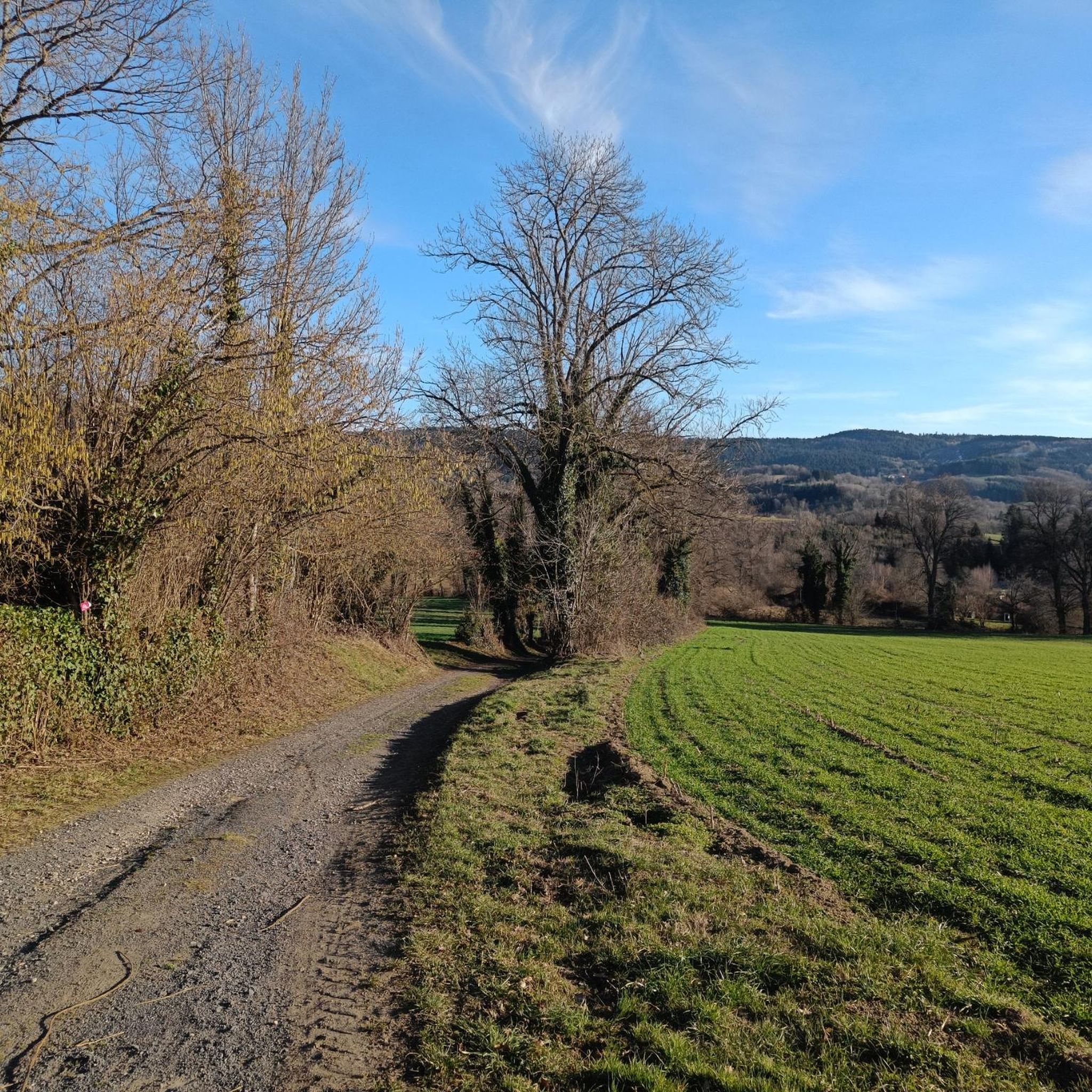
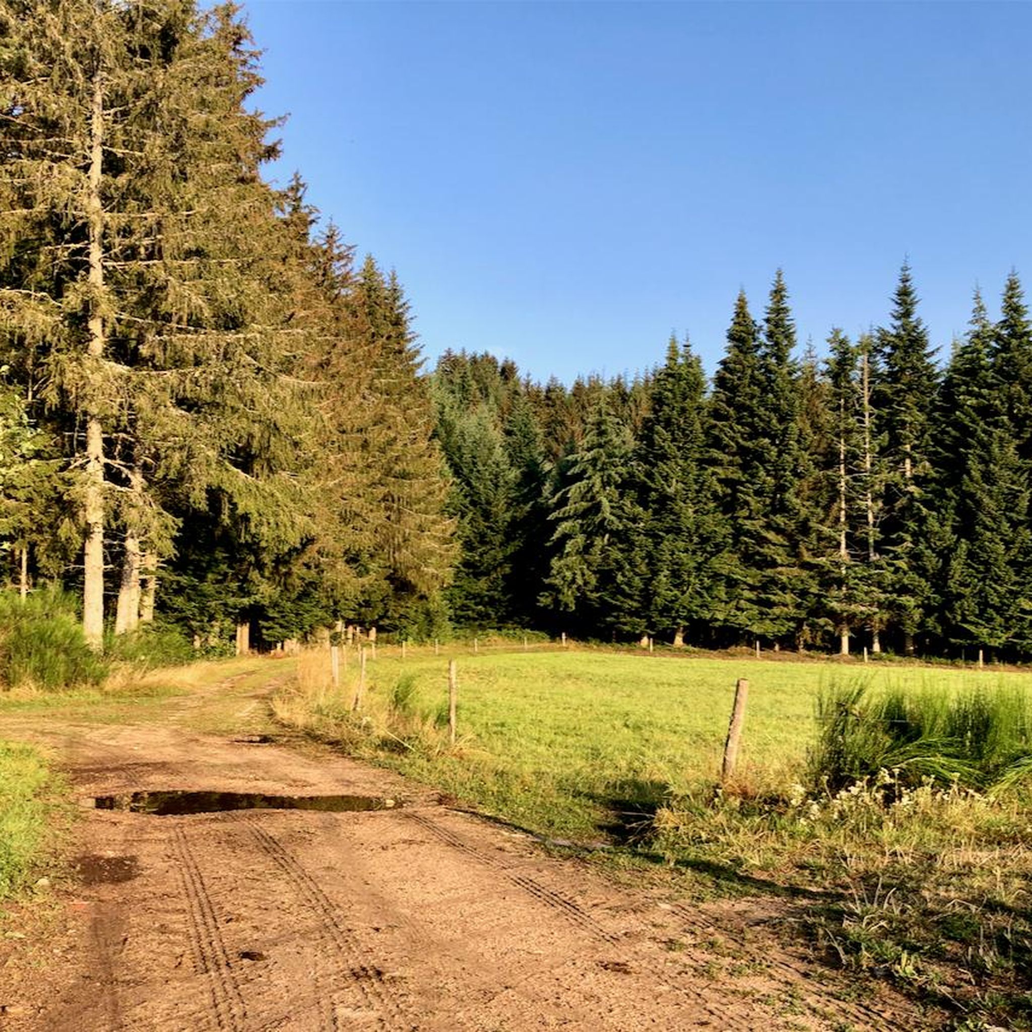

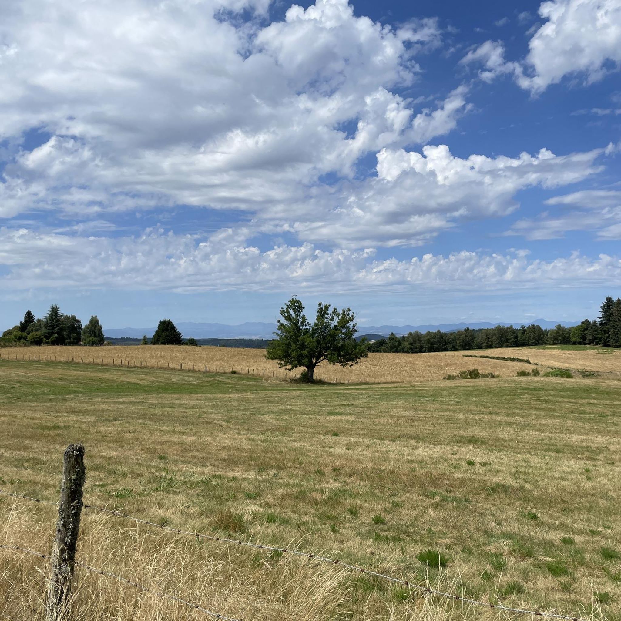

Tips from the Community


Erected on the line forming the edge of the Livradois plateau, a veritable western balcony, the Deux-Frères belvedere occupies one of the highest sites in the commune of Echandelys, at some 1087 meters above sea level. Occupied by an orientation table set up in 1972 by the Intercommunal Syndicate of Tourist and Economic Development of Livradois, it allows a view over the entire Limagne valley and the main geographical formations of Auvergne, from Plomb from Cantal to the Chaîne des Puys, recently listed as a UNESCO world heritage site, via the Sancy massif. Several tables allow you to have a pleasant picnic and recently installed wooden benches encourage you to enjoy the view during a pleasant break.
0
0

The Saint-Jean church is a catholic church in Ambert. It was built between 1471 and 1518. It is classified as a historical monument.
2
0

The church of Saint-Germain-l'Herm is of Romanesque-Gothic style. Its nave was rebuilt in 1500.
0
0
This peaceful little town located 800 meters above sea level is an ideal place to stop. You will discover its body of water and its aquatic activities, its castle and the Amethyst house which takes you to discover this stone with many virtues.
0
0

Nice little waterfall on the Faredonde stream. The place is quiet and ideal for a relaxing break.
0
0

9 kilometers of climb at an average of 5-6% from Ambert. Attention, very exposed climb, not a single passage in the shade!
0
0
Frequently Asked Questions
How many mountain bike trails are available around Saint-Amant-Roche-Savine?
There are over 60 mountain bike trails around Saint-Amant-Roche-Savine, offering a wide range of options for different skill levels. The komoot community has explored more than 300 routes in the area.
What types of terrain can I expect on mountain bike trails in Saint-Amant-Roche-Savine?
The trails in Saint-Amant-Roche-Savine, located within the Livradois-Forez Regional Nature Park, feature diverse landscapes. You'll encounter varied terrain including forest paths, tracks, and routes that offer views of the Chaîne des Puys and the Dore valley. The region is characterized by mountain passes and dense forests.
Are there mountain bike trails suitable for beginners in Saint-Amant-Roche-Savine?
Yes, Saint-Amant-Roche-Savine offers options for beginners. While many routes are moderate or difficult, there are 6 easy mountain bike trails available, providing a good starting point for those new to the sport or looking for a more relaxed ride.
Are there any challenging mountain bike trails for experienced riders?
Absolutely. For experienced riders seeking a challenge, there are 15 difficult mountain bike trails. One such route is the Col des Fourches (970 m) loop from La Chapelle-Agnon, which covers 35.2 km with over 1000 meters of elevation gain. Another demanding option is the Saint-Germain-l'Herm Church – Gomot Waterfall loop from Fournols, a long 65.5 km trail with significant climbing.
What are some scenic mountain bike trails in the area?
Many trails offer stunning views due to the region's elevated position. Routes often provide panoramas of the Chaîne des Puys – Faille de Limagne, a UNESCO World Heritage site, the Puy de Dôme, and the Dore valley. The Fourches Pass - 970 m loop from Parc naturel régional Livradois-Forez is known for leading through the scenic Livradois-Forez Regional Nature Park.
Are there mountain bike trails that pass by waterfalls?
Yes, you can find trails that include natural features like waterfalls. The Saint-Germain-l'Herm Church – Gomot Waterfall loop from Fournols is a notable difficult route that incorporates the Gomot Waterfall into its extensive 65.5 km journey.
What can I see along the mountain bike trails in Saint-Amant-Roche-Savine?
Beyond the natural beauty of the Livradois-Forez Regional Nature Park, you can encounter various points of interest. Highlights include the Fourches Pass - 970 m, offering expansive views. The nearby town of Ambert also features cultural sites like Medieval Ambert and the Saint-Jean Church, Ambert.
What do other mountain bikers enjoy most about mountain biking in Saint-Amant-Roche-Savine?
The area is highly rated by the komoot community, with an average score of 4.3 stars from over 60 reviews. Riders often praise the diverse landscapes, the challenging mountain passes, and the extensive network of trails that cater to various skill levels within the beautiful Livradois-Forez Regional Nature Park.
Are there any loop trails for mountain biking in Saint-Amant-Roche-Savine?
Yes, many of the mountain bike routes in the region are designed as loops. Examples include the Ambert – The Virgin of Monestier loop from Thiolières, a moderate 34.7 km ride, and the Col des Fourches (970 m) loop from La Chapelle-Agnon, which is a more difficult 35.2 km option.
What is the typical elevation gain on mountain bike trails in this region?
Mountain bike trails around Saint-Amant-Roche-Savine often feature significant elevation changes due to the mountainous terrain. For example, the difficult Around Le Monestier MTB Circuit No. 34 has an elevation gain of over 500 meters, while longer, more challenging routes like the Saint-Germain-l'Herm Church – Gomot Waterfall loop from Fournols can involve over 1300 meters of climbing.
What is the best time of year for mountain biking in Saint-Amant-Roche-Savine?
The Livradois-Forez Regional Nature Park is generally best explored for mountain biking during the warmer months, from spring through autumn, when trails are dry and weather conditions are favorable. The region's average altitude of 900 meters means that winter conditions can bring snow and ice, making some trails impassable or more challenging.
Are there services available for mountain bikers in the Livradois-Forez region?
The broader Livradois-Forez region, which encompasses Saint-Amant-Roche-Savine, is well-equipped for mountain bikers. Services often include qualified instructors, shuttle services with bike transport, bike wash points, and repair stations, enhancing the overall riding experience.
Most popular routes around Saint-Amant-Roche-Savine
Most popular attractions around Saint-Amant-Roche-Savine

Get inspired with the komoot mobile app


Explore more
Browse the best MTB trails in other regions.
