The best cycling routes around Peille
4.5
(960)
24,711
riders
13
rides
Touring cycling around Peille offers routes through a mountainous environment in the Alpes-Maritimes department, characterized by forested hills and significant elevation changes. The region provides views across the landscape and glimpses of the Mediterranean coastline. Peille is situated at over 600 meters altitude, with a backdrop of peaks like Mont Agel, Pic de Baudon, and Cime de Rastel. The area features diverse flora, including maritime pine and oak forests, providing varied terrain for cyclists.
Best touring cycling routes around Peille
…Last updated: October 4, 2026
981
riders
36.5km
03:18
1,230m
1,220m
Hard bike ride. Very good fitness required. Mostly paved surfaces. Suitable for all skill levels.
4.2
(5)
118
riders
48.3km
03:06
500m
500m
Hard bike ride. Very good fitness required. Mostly paved surfaces. Suitable for all skill levels.

50
riders
106km
08:23
2,960m
2,960m
Hard bike ride. Very good fitness required. Mostly paved surfaces. Suitable for all skill levels.
4.5
(2)
29
riders
21.8km
01:47
670m
670m
Hard bike ride. Very good fitness required. Mostly paved surfaces. Suitable for all skill levels.
3.0
(2)
23
riders
54.1km
04:16
1,420m
1,420m
Hard bike ride. Very good fitness required. Mostly paved surfaces. Suitable for all skill levels.
Get access to more routes and recommendations from other explorers.
Already have an account?
Our route recommendations are based on thousands of hikes, rides, and runs completed by other people on komoot.
Start today with a free account
Your next adventure awaits.
Tips from the Community

La Promenade des Anglais is the famous seaside promenade of Nice, France, which extends for about 7 kilometers along the Baie des Anges
0
0

Refueling point on the way back
0
0
The cycle path has been moved to the pavement.... Cut by multiple pedestrian crossings; watch out for undisciplined pedestrians...
0
0

Excursion boats for coastal panorama tours also depart from the port of Lympia.
0
0

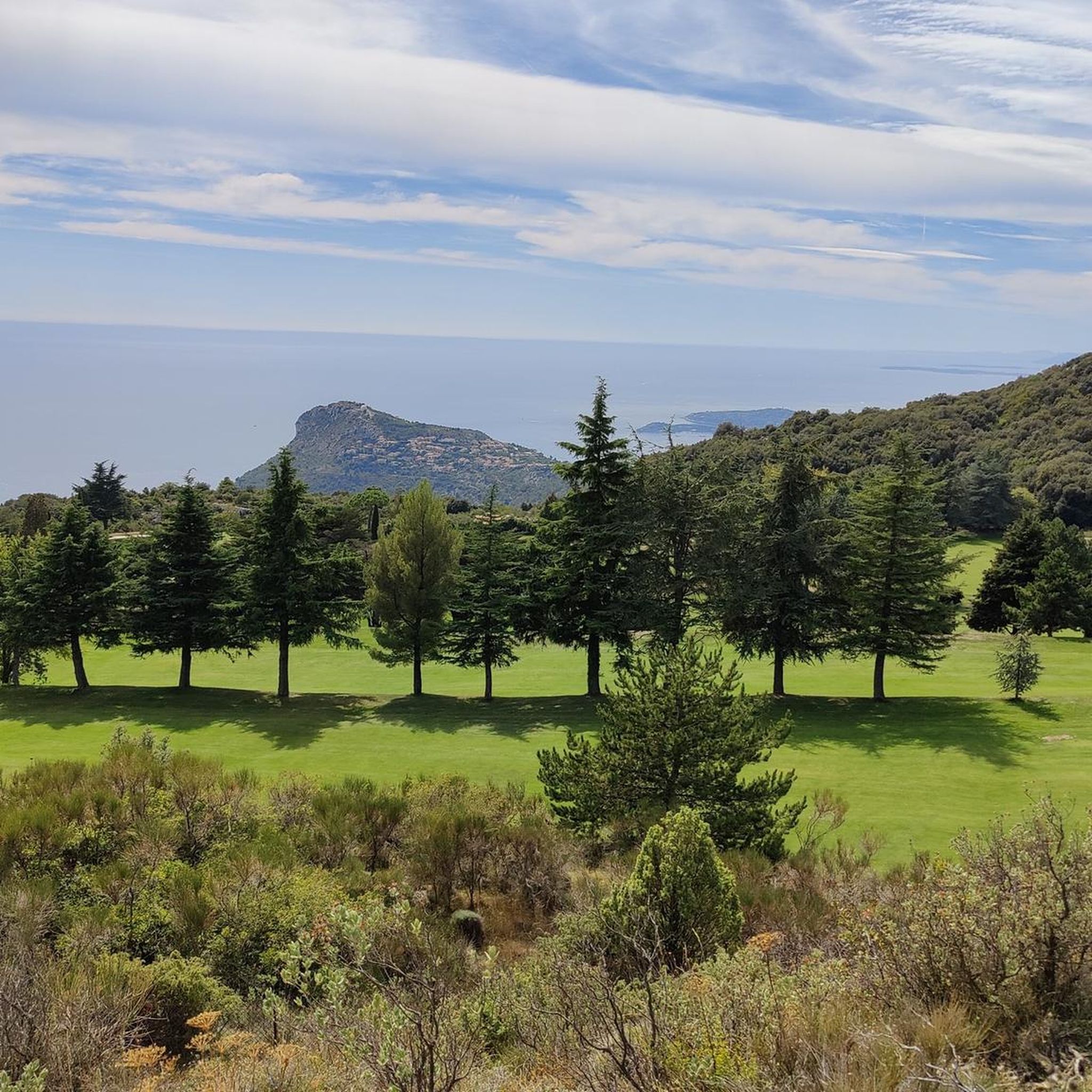
Corniche road. Magnificent views of the Mediterranean, Nice... At the Col du Farguet, views of the Mercantour. To reach the Col de Braus, gravel road accessible to classic electric bikes (not mountain bikes)
0
0

Beautiful view of medieval Sainte-Agnès. It lies at an altitude of 800 m and is considered the highest coastal village in Europe.
0
0

The Col de Castillon is a mountain pass in the Southern Alps of France, located at an altitude of 728 meters, in the Alpes-Maritimes department in the Provence-Alpes-Côte d'Azur region. It marks the junction between the Bévéra Valley to the north and the Careï Valley and Menton to the south.
0
0
Frequently Asked Questions
What is the general difficulty level of touring cycling routes around Peille?
Touring cycling routes around Peille are predominantly challenging, with 9 out of 10 routes rated as difficult. These routes often feature significant elevation gains and descents, navigating the mountainous terrain of the Alpes-Maritimes. Only one route is considered moderate, and there are no easy routes listed, indicating that the area is best suited for experienced cyclists seeking a demanding ride.
What kind of terrain and landscapes can I expect on touring cycling routes in Peille?
Peille's touring cycling routes offer a diverse and scenic experience. You can expect to ride through a mountainous environment at over 600 meters altitude, with forested hills, maritime pine, and oak forests. Many routes provide exceptional views across the landscape, and some even offer glimpses of the Mediterranean coastline towards Cannes. The area is characterized by challenging roads with steep climbs and rewarding descents, set against a dramatic backdrop of peaks like Mont Agel and Pic de Baudon.
Are there any circular touring cycling routes in Peille?
Yes, several touring cycling routes around Peille are designed as loops. For example, the challenging L'Escarène – Braus Pass loop from Mont Méras covers 22.7 miles (36.5 km) and includes a significant climb to Braus Pass. Another extensive option is the Braus Pass – Col de Turini loop from Peille, a difficult 54.2 miles (87.2 km) path navigating two major mountain passes.
What are some notable viewpoints or scenic spots along the touring cycling routes?
The region around Peille is rich in scenic viewpoints due to its mountainous setting. Many routes offer panoramic vistas of forested hills and, from higher elevations, glimpses of the Mediterranean Sea. The climb to Braus Pass, featured in routes like L'Escarène – Braus Pass loop from Mont Méras, provides rewarding views. Additionally, road cycling routes in the area often include loops with views of Monaco, Èze, and the Col de la Madone, offering breathtaking coastal and mountain scenery.
What attractions or landmarks can I explore near the touring cycling routes?
Peille's location offers access to several interesting attractions. You can find historical sites like the Prince's Palace of Monaco and the Medieval village of Èze. For those interested in natural beauty, the area is surrounded by impressive peaks such as Férion Summit and Mont Grammondo Summit. The Fort du Mont Alban is another notable historical and scenic point.
What is the best time of year for touring cycling in Peille?
Given Peille's Mediterranean climate and mountainous terrain, the best times for touring cycling are typically spring (April to June) and autumn (September to October). During these seasons, temperatures are generally mild and pleasant, and the natural landscapes are vibrant. Summer can be quite hot, especially on exposed climbs, while winter can bring colder temperatures and potential for snow at higher elevations, though coastal routes may remain rideable.
Are there any touring cycling routes that offer descents towards the coast?
Yes, some routes around Peille provide exciting descents towards the coast. The Port of Nice – Port of Nice loop from Peille is a 29.9 miles (48.2 km) trail that leads through varied terrain with descents towards the coast, often completed in about 3 hours. This allows cyclists to experience both the mountainous interior and the famous French Riviera coastline.
What do other touring cyclists enjoy the most about touring cycling in Peille?
The touring cycling experience in Peille is highly rated by the komoot community, with an average score of 4.5 stars from over 600 reviews. Reviewers often praise the challenging nature of the routes, the stunning mountainous landscapes, and the rewarding views that include glimpses of the Mediterranean. The diverse terrain, from forested hills to daring coastal roads, also contributes to its appeal among experienced cyclists.
How long do touring cycling routes in Peille typically take to complete?
The duration of touring cycling routes in Peille varies significantly based on distance and elevation. Shorter, challenging loops like L'Escarène – Braus Pass loop from Mont Méras (22.7 miles / 36.5 km) can take around 3 hours 18 minutes. Longer and more demanding routes, such as the Tunnel entrance to Peille – Braus Pass loop from Peille (90.9 miles / 90.9 km), can require over 7 hours to complete, due to their extensive distance and significant elevation changes.
Are there any specific routes that navigate multiple mountain passes?
Yes, for cyclists looking for a significant challenge involving multiple mountain passes, the Braus Pass – Col de Turini loop from Peille is an excellent option. This difficult 54.2 miles (87.2 km) path navigates two significant mountain passes, offering sustained climbs and descents through rugged and spectacular scenery, making it a favorite among local touring cyclists.
What is the highest elevation gain I can expect on a touring cycling route in Peille?
Touring cycling routes around Peille are known for their significant elevation gains. The most challenging routes can feature over 2,400 meters of ascent. For instance, the Braus Pass – Col de Turini loop from Peille involves an elevation gain of approximately 2,458 meters, providing a strenuous workout for even the most seasoned climbers.
Can I find routes that offer views of the surrounding peaks like Mont Agel?
Absolutely. Peille is nestled amidst prominent peaks such as Mont Agel, Pic de Baudon, and Cime de Rastel. Many touring cycling routes in the area traverse the mountainous landscape, offering continuous views of these dramatic backdrops. While specific routes might not be named after these peaks, their presence is a constant feature of the scenic rides, providing a truly immersive mountain cycling experience.
Most popular attractions around Peille

Get inspired with the komoot mobile app


Explore more
Browse the best Cycling routes in other regions.
