The best running trails around Méolans-Revel
4.3
(41)
2,043
runners
23
runs
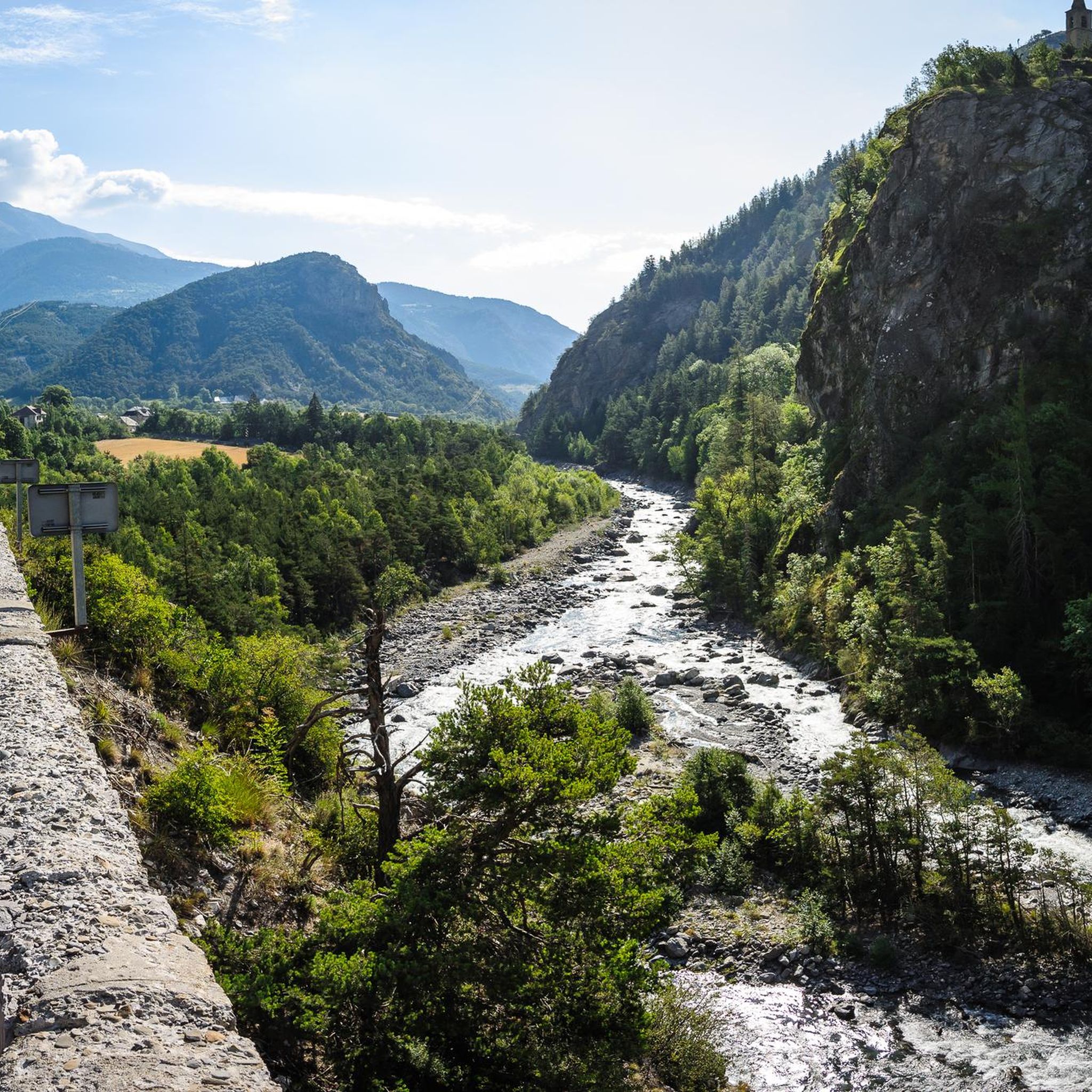
Jogging around Méolans-Revel offers diverse terrain within the Ubaye Valley, situated in the Southern French Alps. The region features alpine paths, winding roads, high-altitude meadows, and extensive forested sections. Proximity to Mercantour National Park provides additional trails through deep forested valleys and lush alpine meadows. The Ubaye River also contributes to the varied landscape available for running.
Best jogging routes around Méolans-Revel
- The most popular jogging route is Tour of Ubaye Trail, a 16.9 miles (27.2 km) trail that…
Last updated: July 7, 2026
4
runners
27.2km
04:35
1,370m
1,370m
Hard run. Very good fitness required. Sure-footedness, sturdy shoes and alpine experience required.
2
runners
20.4km
03:18
950m
950m
Hard run. Very good fitness required. Sure-footedness, sturdy shoes and alpine experience required.

Sign up for free
4.6
(5)
108
runners
10.3km
01:11
150m
150m
Hard run. Good fitness required. Sure-footedness, sturdy shoes and alpine experience required.
4.5
(4)
35
runners
10.7km
01:16
280m
280m
Moderate run. Good fitness required. Mostly paved surfaces. Suitable for all skill levels.
35
runners
4.53km
00:31
40m
40m
Hard run. Great for any fitness level. Sure-footedness, sturdy shoes and alpine experience required.
Get access to more routes and recommendations from other explorers.
Sign up for free
Already have an account?
Our route recommendations are based on thousands of hikes, rides, and runs completed by other people on komoot.
Start today with a free account
Your next adventure awaits.
Login or Signup
Popular around Méolans-Revel
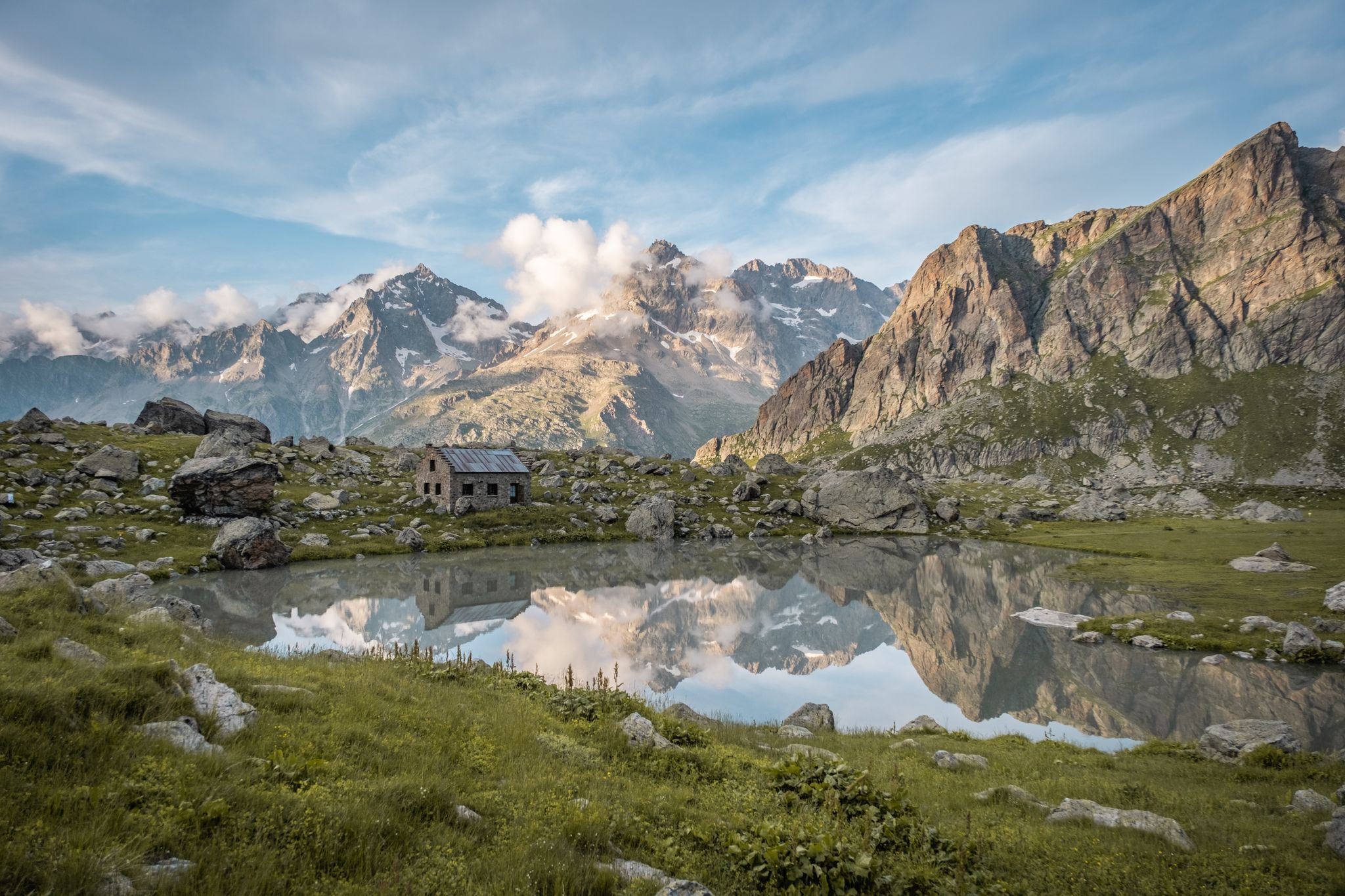
Seven hikes in France’s Southern Alps – refuges and high peaks

Mountains and marmots — France’s Ubaye trail (GR 56)
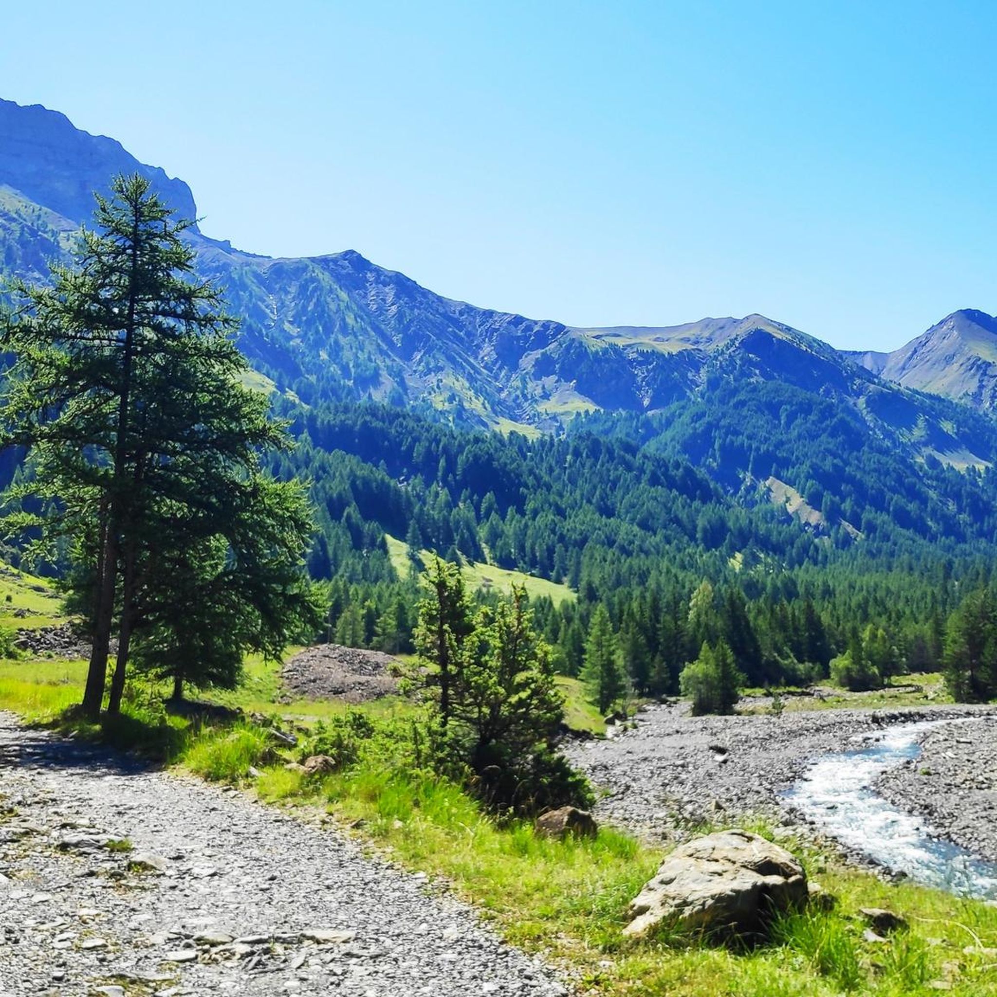
Road Cycling Routes around Méolans-Revel
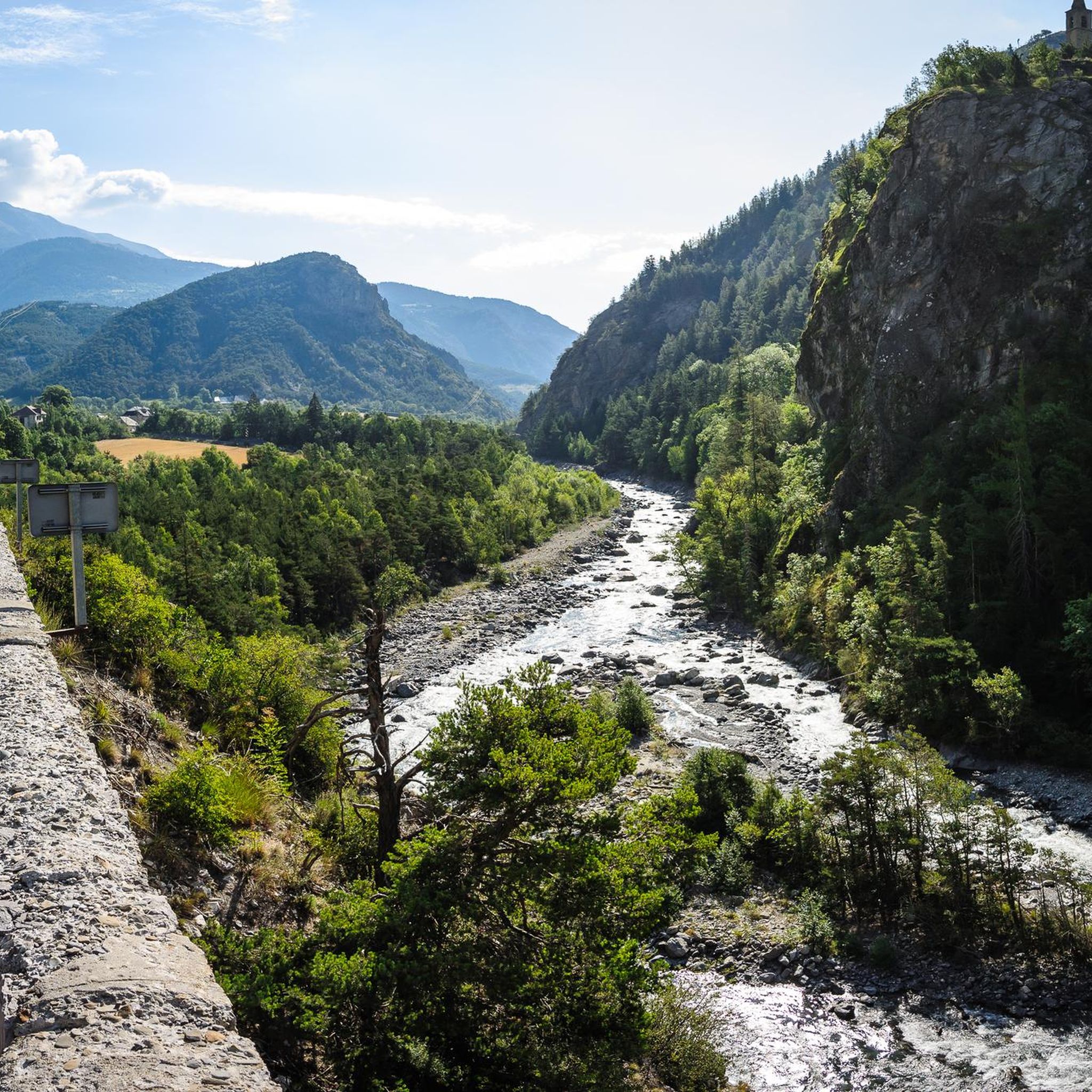
Hiking around Méolans-Revel
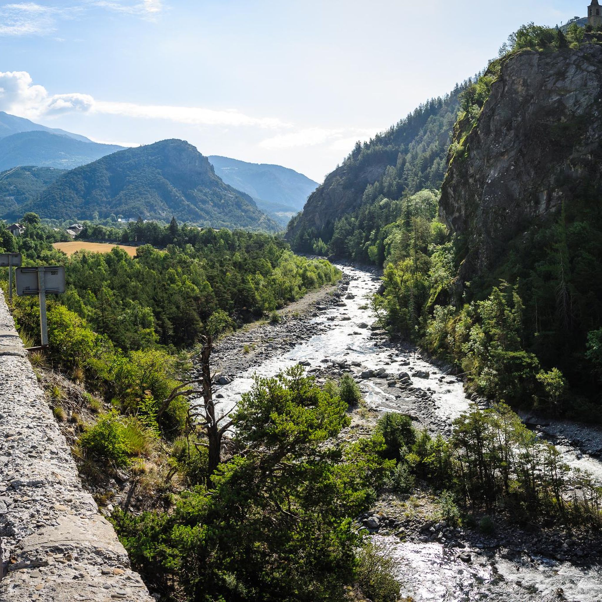
Cycling around Méolans-Revel
MTB Trails around Méolans-Revel

Gravel biking around Méolans-Revel
Mountain Hikes around Méolans-Revel


Tips from the Community

A nice little spot in the summer, but in winter the tables are under the snow
0
0
A place steeped in history, it was once a hamlet where men and sheep lived in symbiosis. In winter, the setting is splendid.
0
0

Beautiful place for a picnic. Tables and benches are available.
0
0


First built in 1724, it is a simple unguarded cabin with a stove, shelf and toilet. Great refuge in case of bad weather!
1
0
Located at 2575 meters, Tête de la Sestrière offers a beautiful panorama of the valleys below and the mountains that surround it. A magnificent hike from Laverq!
1
0
Ideal place for a break under the trees by the river with a picnic table.
0
0
Frequently Asked Questions
What types of running routes can I find in Méolans-Revel?
Méolans-Revel, nestled in the Ubaye Valley, offers a diverse range of running routes. You'll find everything from alpine paths and winding roads to high-altitude meadows and extensive forested sections. The area caters to various fitness levels, with options ranging from moderate valley paths to challenging uphill climbs. Overall, there are over 20 routes, including 1 easy, 7 moderate, and 16 difficult trails.
Are there any easy or beginner-friendly jogging trails in Méolans-Revel?
Yes, while many routes are moderate to difficult, there is at least one easy jogging route available. For those looking for a slightly more challenging but still accessible option, there are 7 moderate trails. These often follow valley paths or less steep forested sections, providing a good balance for beginners or those seeking a relaxed run.
When is the best time of year to go running in Méolans-Revel?
The best times for running in Méolans-Revel are typically summer and fall. Summer offers relief from heat at higher altitudes, while fall provides picturesque scenery with yellowing trees and the first fresh snow. The Ubaye Valley's extensive network of paths is well-suited for these seasons.
What kind of scenery or natural features can I expect on the running routes?
The running routes in Méolans-Revel offer breathtaking scenery. You'll experience the varied terrain of the Ubaye Valley, including alpine landscapes, deep forested valleys, and lush alpine meadows. Proximity to the Mercantour National Park means opportunities to spot wildlife like chamois, ibex, and marmots, especially in areas like Morgon peak. The Ubaye River also adds to the scenic beauty.
Are there any circular running routes available?
Yes, Méolans-Revel features several excellent circular running routes. A popular moderate option is the Bridge with beautiful view – Ubaye View loop from Camping de Rioclar, which covers about 10.9 km. Another moderate choice is the Upper Rioclar – L'Ubaye loop from Camping de Rioclar, spanning around 10.6 km.
What do other runners say about the jogging trails in Méolans-Revel?
The running trails around Méolans-Revel are highly regarded by the komoot community, with an average rating of 4.3 out of 5 stars from over 46 reviews. More than 2000 runners have explored the varied terrain using komoot, often praising the diverse landscapes and the quality of the trails.
Are there any challenging trail running options for experienced runners?
Absolutely. Méolans-Revel is known for its challenging trail running opportunities. For experienced runners, routes like the Tour of Ubaye Trail (27.2 km with significant elevation gain) and the Tour de l'Ubaye Trail (GR 56) (20.4 km with extensive valley views) offer demanding experiences through alpine landscapes.
Can I find places to stay or eat near the running routes?
While specific cafes or pubs directly on the trails are not detailed, the region offers various accommodations and services. You can find several huts and guesthouses in the surrounding area, such as Refuge du col d’Allos or Laverq Guesthouse, which can serve as bases for your running adventures.
Are there any specific landmarks or points of interest to look out for while running?
Yes, the region is rich in natural landmarks. You might encounter impressive mountain peaks like Morgon peak, known for its mountain pastures. The Ubaye River itself is a prominent feature, and the varied terrain includes sections near the wild Mercantour National Park. For those interested in historical points, the Dormillouse Battery is another notable summit.
Are there any multi-activity parks in Méolans-Revel that could complement a running trip?
Méolans-Revel is home to multi-activity parks like Aventura Park and Rapid'Eau Park. These parks offer a range of outdoor activities, including orienteering, which can be adapted for 'speed trail' enthusiasts. They are ideally situated by a forest and river, providing a natural setting for active pursuits beyond just running. You can find more information about Aventura Park here and Rapid'Eau Park here.
What is the typical duration for a moderate running route in Méolans-Revel?
For moderate running routes in Méolans-Revel, you can generally expect durations of around 1 hour to 1 hour 15 minutes for trails approximately 10-11 km long. For example, the Bridge with beautiful view – Ubaye View loop is typically completed in about 1 hour 11 minutes.
Most popular routes around Méolans-Revel
Most popular attractions around Méolans-Revel

Get inspired with the komoot mobile app


Explore more
Browse the best Running Trails & Routes in other regions.
