The best walks and hikes around Hochstett
4.3
(138)
1,243
hikers
116
hikes
Hiking around Hochstett offers access to diverse landscapes within the Bas-Rhin department of northeastern France. The region is characterized by the extensive Exceptional Forest® by Haguenau, providing numerous marked trails through wooded areas and plains. Nearby, the hilly terrains of the Val de Moder region present more challenging routes, while the flat Ried plain offers a different natural environment. From elevated points like the Soultzerkopf Hut, panoramic views extend across the Rhine plain to the Black Forest.
Best hiking trails…
Last updated: July 5, 2026
3.0
(3)
10
hikers
Moderate hike. Good fitness required. Easily-accessible paths. Suitable for all skill levels.
4.3
(3)
7
hikers
4.66km
01:14
40m
40m
Easy hike. Great for any fitness level. Easily-accessible paths. Suitable for all skill levels.

Sign up for free
5
hikers
6.85km
01:48
50m
50m
Easy hike. Great for any fitness level. Easily-accessible paths. Suitable for all skill levels.
1
hikers
6.31km
01:41
70m
70m
Easy hike. Great for any fitness level. Easily-accessible paths. Suitable for all skill levels.
3
hikers
5.98km
01:36
60m
70m
Easy hike. Great for any fitness level. Easily-accessible paths. Suitable for all skill levels.
Get access to more routes and recommendations from other explorers.
Sign up for free
Already have an account?
Our route recommendations are based on thousands of hikes, rides, and runs completed by other people on komoot.
Start today with a free account
Your next adventure awaits.
Login or Signup
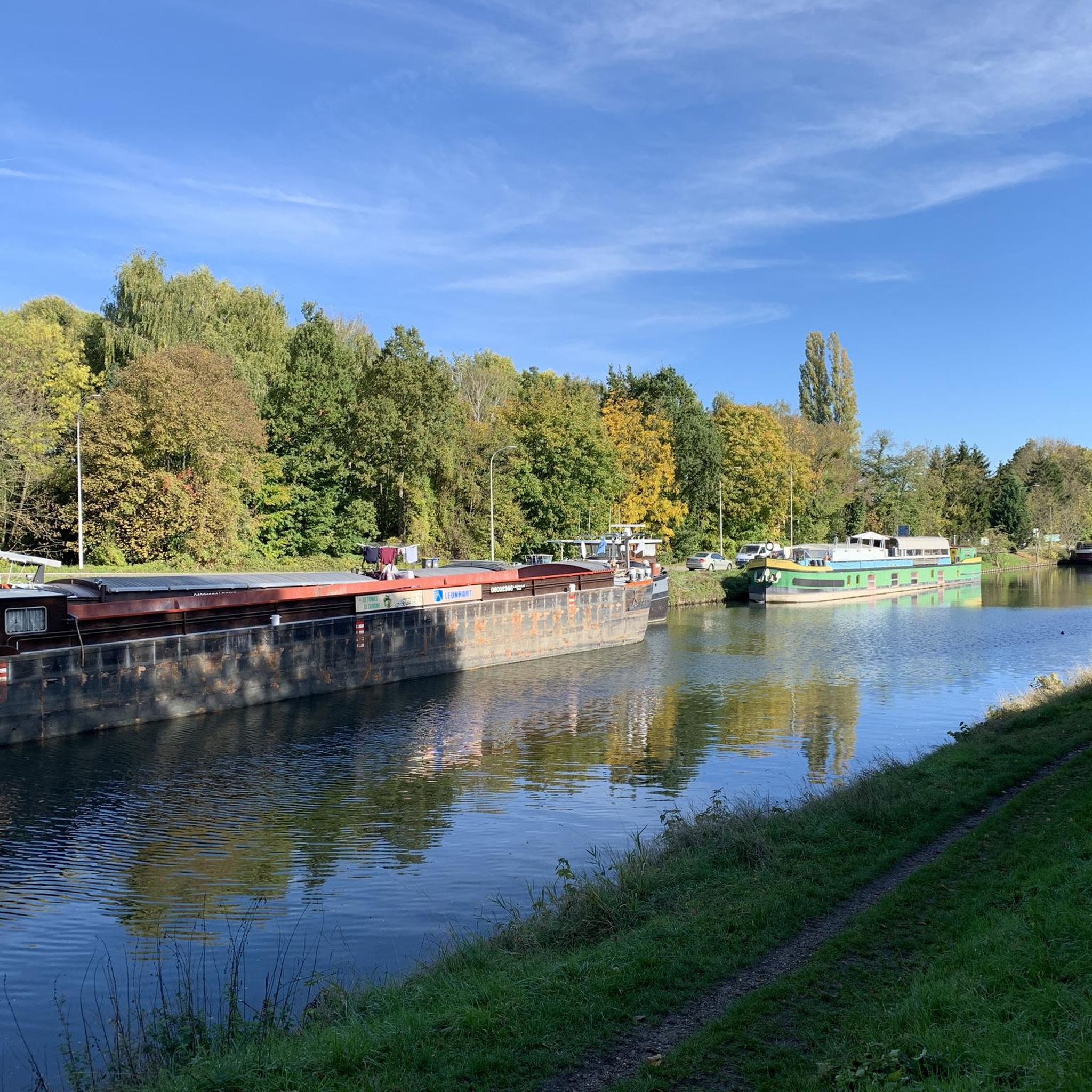
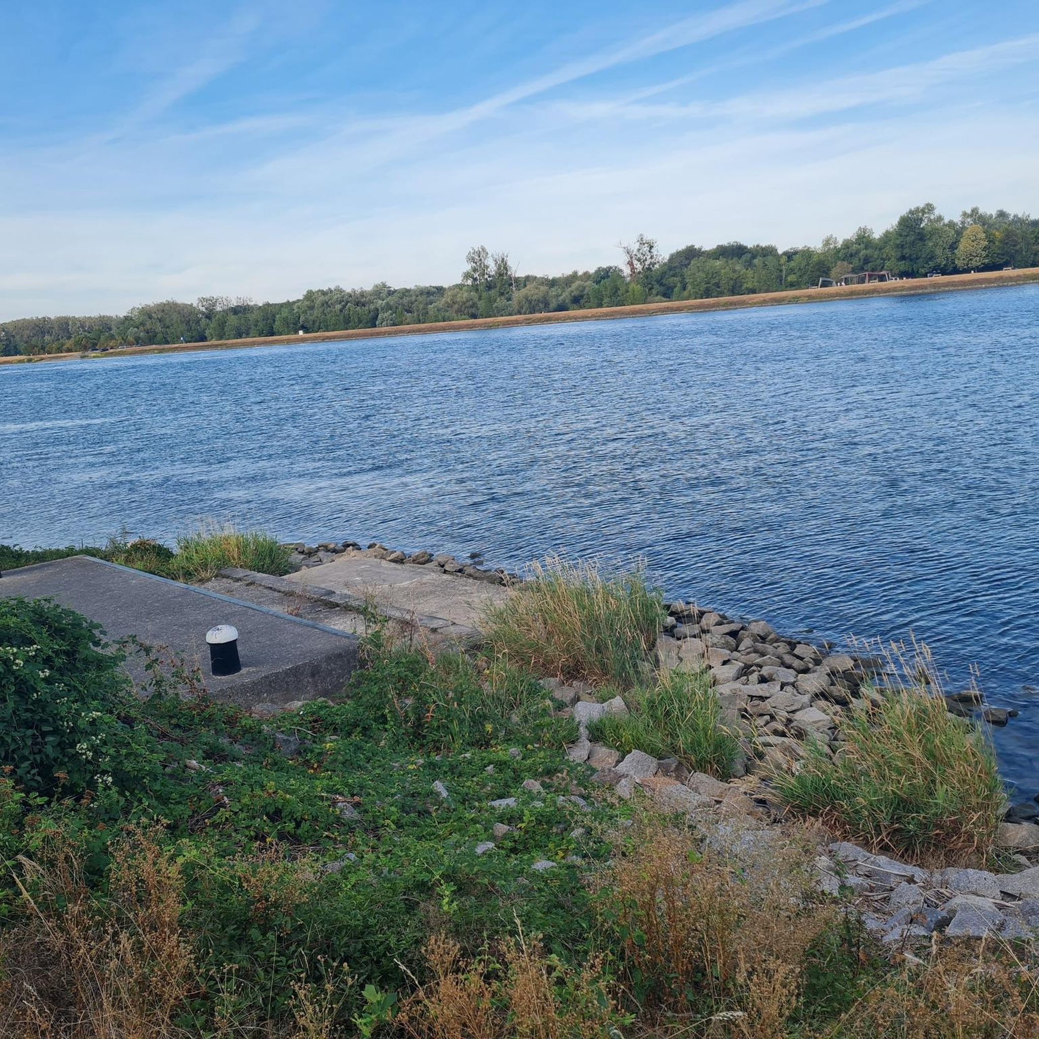
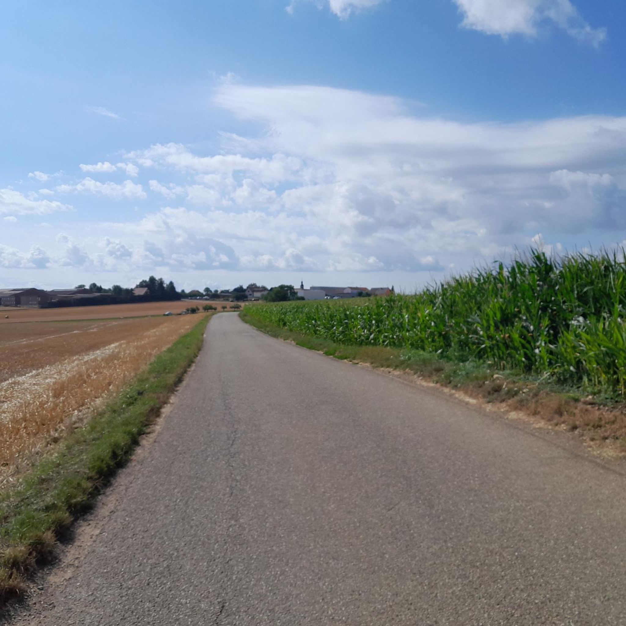
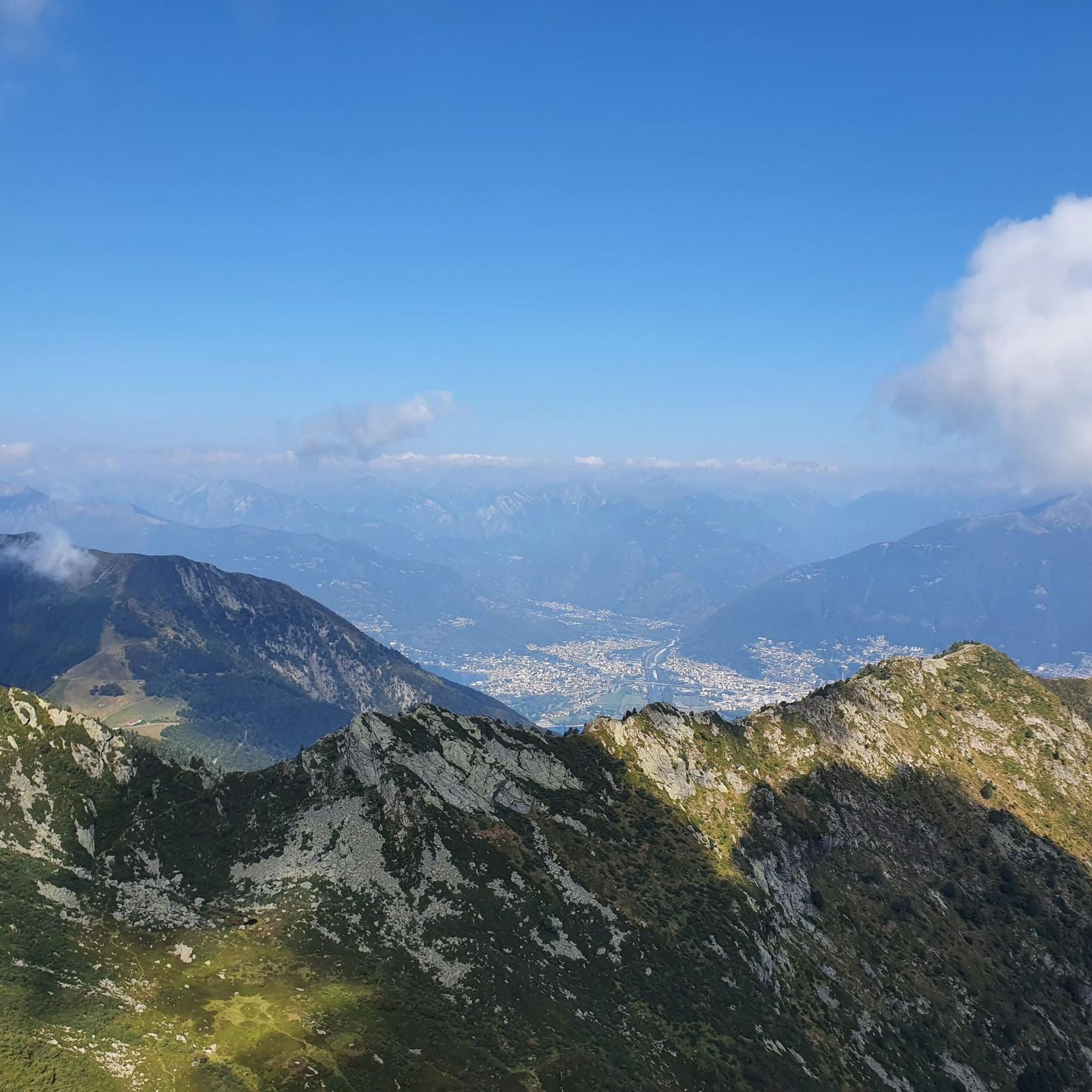

Tips from the Community

Nice path leading to the spring of Saint Ulrich
0
0
A very relaxing spot surrounded by nature with a bench
0
0

Here you will find an old Jesus Cross dating from 1767. It was probably erected by Mathiä Weber and Maria Diebolt.
0
0

this place is home to a whole bunch of animals and lots of birds
0
0

Frequently Asked Questions
How many hiking trails are available around Hochstett?
There are over 100 hiking routes available around Hochstett, catering to various preferences. This includes 51 easy trails, 50 moderate trails, and 1 more challenging route, ensuring options for all skill levels.
Are there family-friendly hiking options near Hochstett?
Yes, Hochstett offers several family-friendly hiking options. Many of the easy trails, particularly within the Exceptional Forest® by Haguenau, are suitable for families. An example is the Hiking loop from Wintershouse, which is an easy 2.9-mile (4.7 km) path, perfect for a shorter outing.
Can I find circular hiking routes in the Hochstett area?
Yes, many of the trails around Hochstett are designed as circular routes, allowing you to start and end at the same point. For instance, the popular Siurce st Ulrich – Cross of Jesus from 1767 loop from Wintershouse is a moderate 6.4-mile (10.3 km) circular trail.
What kind of landscapes can I expect to see while hiking near Hochstett?
Hiking near Hochstett offers a diverse range of landscapes. You'll encounter dense woodlands, particularly within the extensive Exceptional Forest® by Haguenau, open agricultural plains like those seen on the Wheat field loop from Mommenheim, and gentle hills in areas like Val de Moder. The flat Ried plain also provides a distinct natural environment to explore.
Are there any challenging hikes around Hochstett for experienced hikers?
While most routes are easy to moderate, there is at least one more challenging hike available for experienced hikers. For those seeking more strenuous ascents, the hilly terrains of the Val de Moder region, managed by local Vosges Clubs, offer trails that navigate between plains and forests, providing a greater challenge.
What are the best viewpoints or scenic spots along the trails?
For outstanding panoramic views, head towards the Soultzerkopf Hut near Gunstett. From this natural monument, you can see across the Rhine plain to the Black Forest, including Hornisgrinde, and even spot Strasbourg Cathedral. Many trails within the Exceptional Forest® by Haguenau also offer rewarding vistas.
Is public transport available to reach hiking trailheads near Hochstett?
While Hochstett itself is a commune, for detailed public transport information to specific trailheads, it's best to consult local transport schedules. Larger towns nearby, such as Haguenau, often serve as transport hubs. You might find it useful to check resources from the local tourist office for guidance on reaching various starting points.
What attractions or landmarks can I explore near the hiking routes?
Around Hochstett, you can explore several interesting landmarks. These include the Haguenau station, the historic Villa Meteor, and the Historical Museum of Haguenau. Other points of interest include the Dislach Mill and the Wingersheim lock, offering cultural and historical insights alongside your hikes.
What do other hikers enjoy most about hiking in Hochstett?
The hiking experience around Hochstett is highly rated by the komoot community, with an average score of 4.3 stars from over 100 reviews. Hikers frequently praise the diverse terrain, from dense woodlands to open plains, and the well-maintained network of trails that cater to different ability levels. The rewarding views from higher elevations, such as those near the Soultzerkopf Hut, are also a highlight.
Are there any specific trails that are less crowded or considered 'hidden gems'?
While specific 'hidden gems' can vary, exploring trails slightly further from the most popular starting points, or opting for routes in the Val de Moder region, might offer a quieter experience. The Hiking loop from Berstheim, an easy 3.9-mile (6.3 km) route, could be a good option for a peaceful walk.
What is the best time of year to go hiking in Hochstett?
The area around Hochstett is enjoyable for hiking throughout much of the year. Spring and autumn offer pleasant temperatures and beautiful scenery with blooming flowers or vibrant foliage. Summer is also suitable, especially for shaded forest trails. Winter hiking is possible, but it's advisable to check local conditions and dress appropriately for colder weather.
Are dogs allowed on the hiking trails around Hochstett?
Generally, dogs are welcome on many hiking trails in the region, especially in natural areas like the Exceptional Forest® by Haguenau. However, it's always recommended to keep dogs on a leash, especially in protected areas or near wildlife, and to respect local regulations. Always carry waste bags and ensure your dog is well-behaved around other hikers and nature.
Most popular routes around Hochstett
Most popular attractions around Hochstett

Get inspired with the komoot mobile app


Explore more
Browse the best Hikes in other regions.
