The best walks and hikes around Villeneuve
4.4
(458)
2,607
hikers
184
hikes
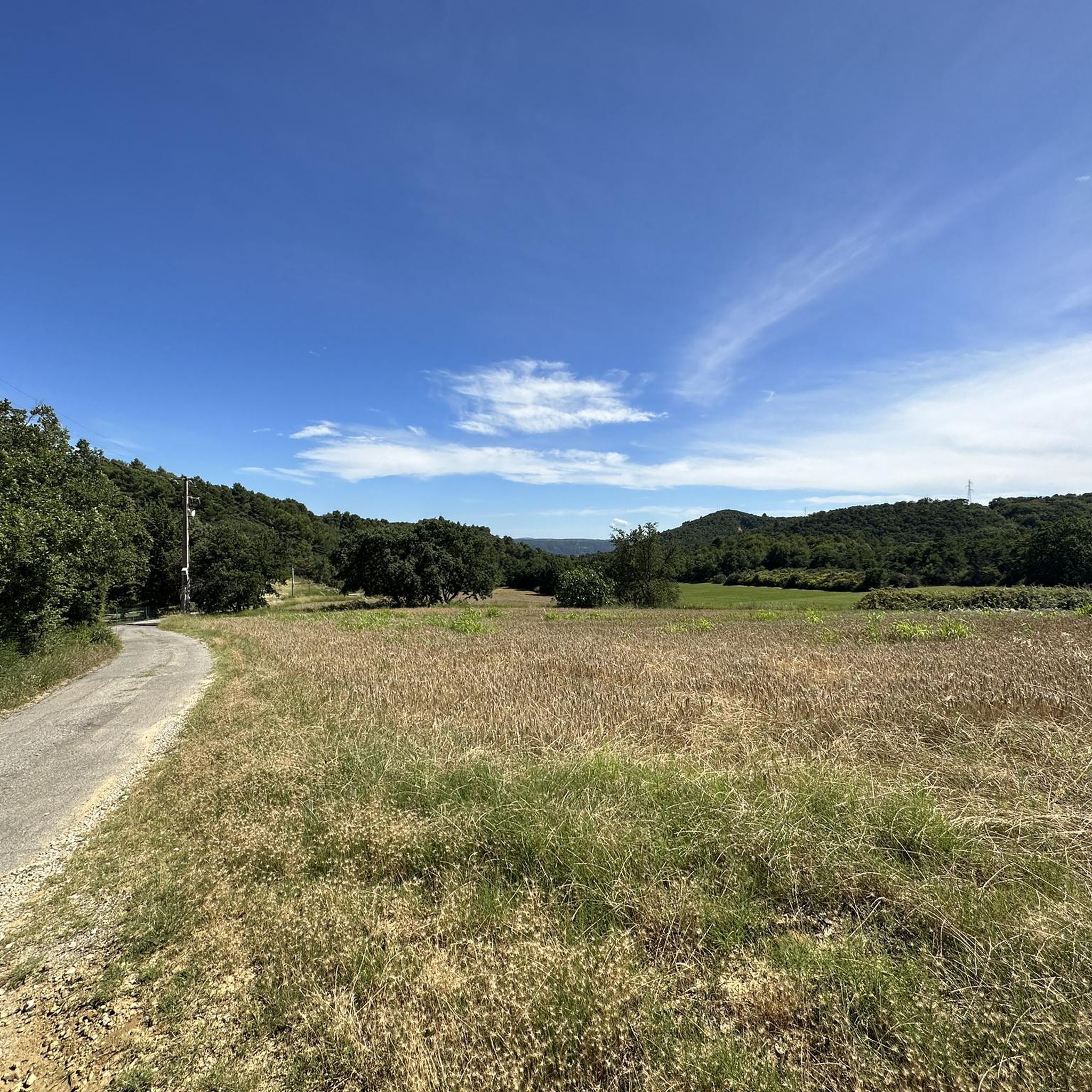
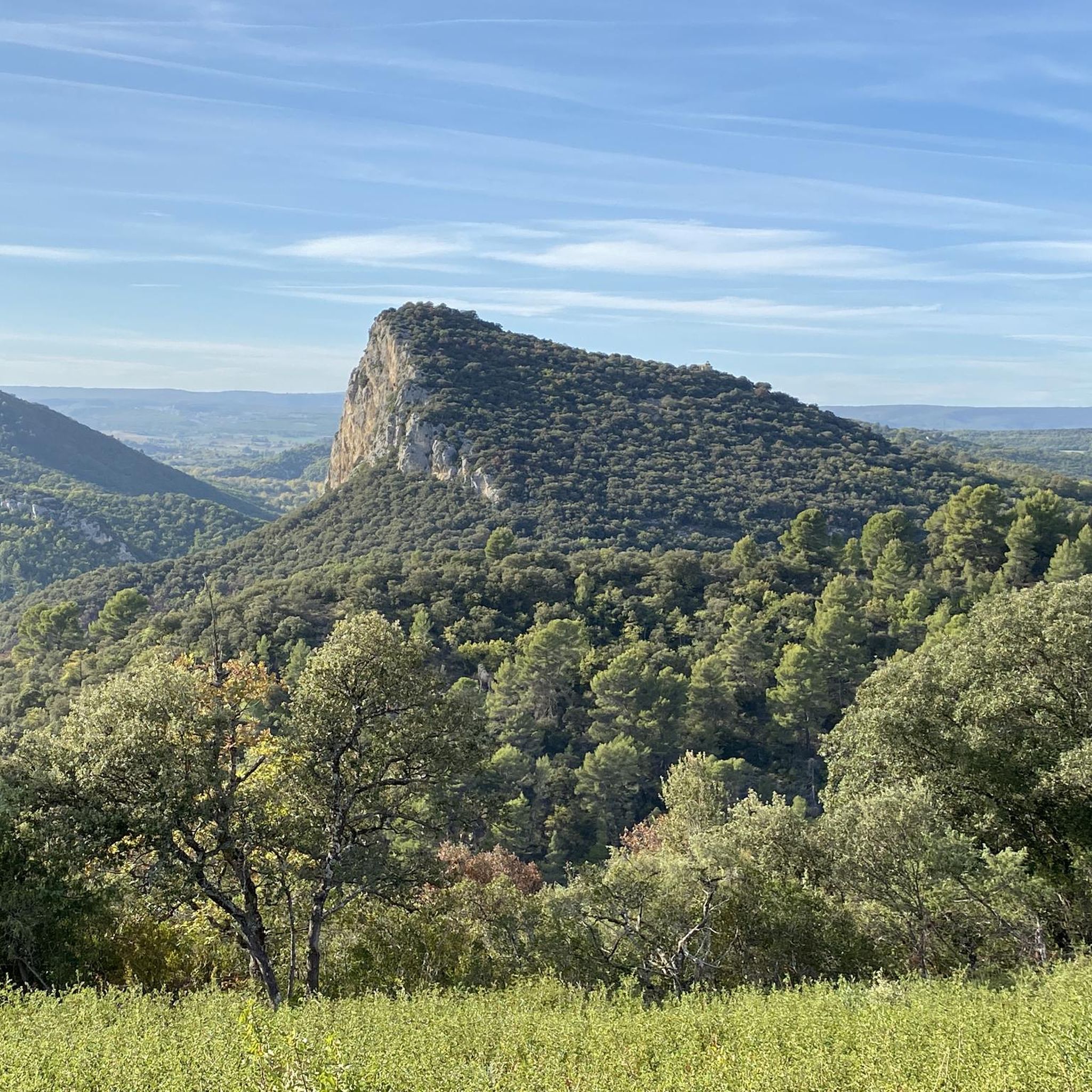
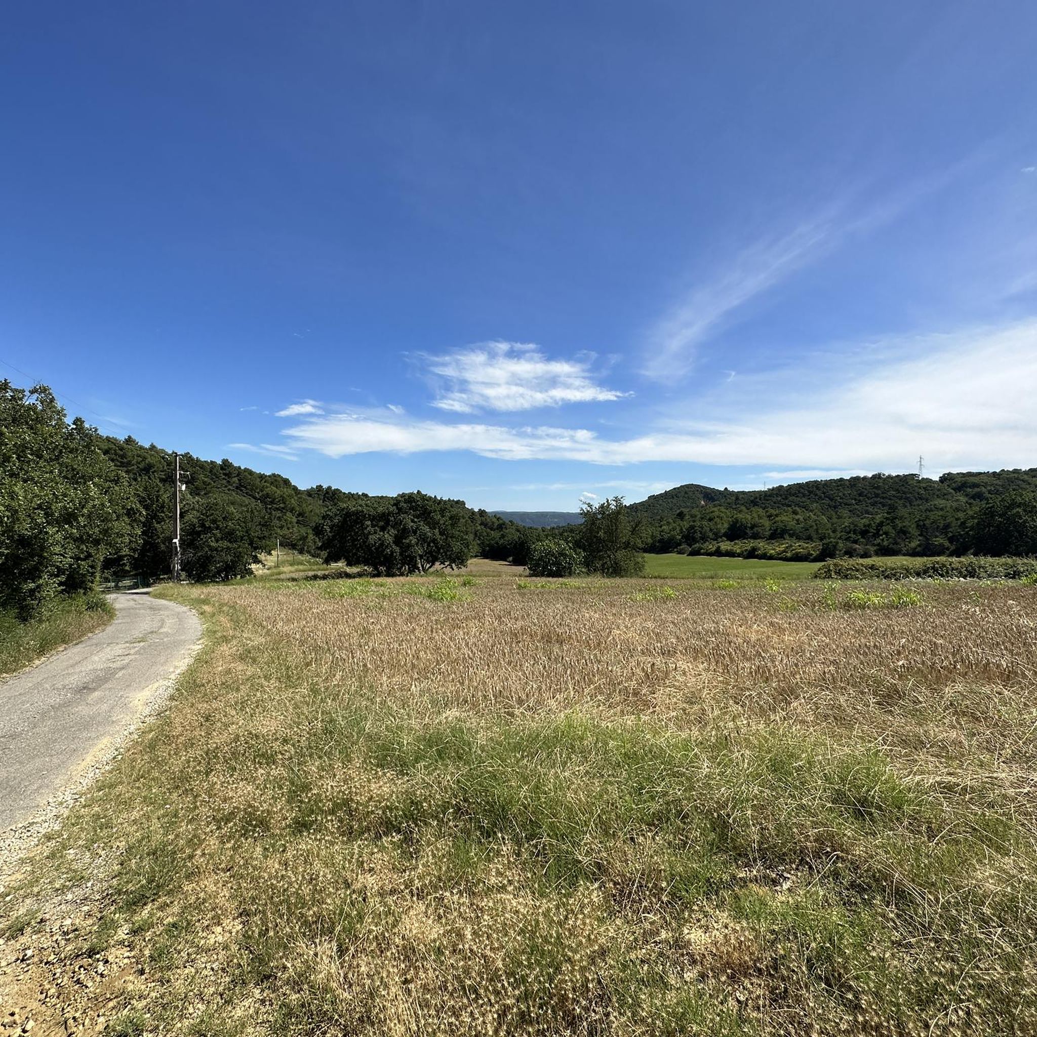
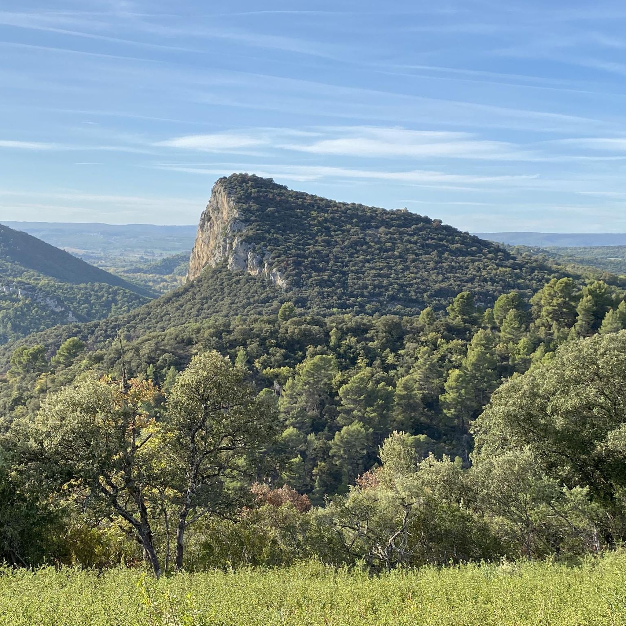
Hiking around Villeneuve offers diverse terrain, from river valleys and forested areas to hills providing panoramic views. The region features varied landscapes, including paths along waterways and routes through natural reserves. Elevation changes are present on many trails, ranging from gentle slopes to more significant ascents.
Best hiking trails around Villeneuve
- The most popular hiking route is Ravin de Fontamorri loop from Volx, a 5.3 miles (8.6 km) trail that takes 2 hours 52 minutes to complete. This moderate…
Last updated: May 12, 2026
4.6
(14)
39
hikers
8.61km
02:52
400m
410m
Moderate hike. Good fitness required. Easily-accessible paths. Suitable for all skill levels.
4.7
(6)
48
hikers
6.52km
02:17
360m
370m
Moderate hike. Good fitness required. Easily-accessible paths. Suitable for all skill levels.

Sign up for free
4.0
(6)
32
hikers
7.04km
02:08
220m
220m
Moderate hike. Good fitness required. Easily-accessible paths. Suitable for all skill levels.
5.0
(3)
14
hikers
12.0km
03:46
470m
480m
Moderate hike. Good fitness required. Easily-accessible paths. Suitable for all skill levels.
5.0
(2)
9
hikers
11.8km
03:31
370m
370m
Moderate hike. Good fitness required. Mostly accessible paths. Sure-footedness required.
Get access to more routes and recommendations from other explorers.
Sign up for free
Already have an account?
Our route recommendations are based on thousands of hikes, rides, and runs completed by other people on komoot.
Start today with a free account
Your next adventure awaits.
Login or Signup

Tips from the Community

Beautiful black pine forest, great for mountain biking
2
0

Requires sure-footedness and absolutely no fear of heights.
1
0

Idyllic place. Here you not only cross the canal on a pretty wooden bridge, but you can also take a break. In the middle of the EuroVerlo 8.
0
0

The Pélicier forest offers magnificent views of the Durance valley, Mont Ventoux, Sainte-Victoire mountain and the Digne Prealps. This artificial plantation of black pines dates back to the beginning of the 20th century and was intended to limit soil erosion.
1
0

As soon as you cycle out of the town of Manosque and continue following the Tour du Luberon, you cross the Le Largue river via a beautiful wooden bridge. Put your bike down for a moment, because getting off is worth it. A narrow path runs to the river with a small gravel beach next to it. Wonderful to escape the heat of the day with a dip and a nap in the shade.
1
1

Frequently Asked Questions
How many hiking trails are available around Villeneuve?
Villeneuve offers a wide variety of hiking experiences, with over 170 routes available. These range from easy strolls to more challenging ascents, catering to different preferences and fitness levels.
What kind of terrain can I expect on Villeneuve's hiking trails?
The terrain around Villeneuve is diverse, featuring river valleys, forested hills, and open landscapes. Depending on the specific region, you might find mountainous paths with significant elevation changes, comfortable walks along lake shores, or historical routes through vineyards and past ancient fortifications. The area includes paths along waterways and routes through natural reserves.
Are there easy hiking options suitable for beginners or families?
Yes, Villeneuve offers numerous easy hiking options. For instance, in the Lake Geneva region (Villeneuve VD, Switzerland), you can find comfortable, flat walks along Lac Léman, passing through the Les Grangettes nature reserve. In Villeneuve-lès-Avignon, picturesque walks along the Rhone river flood barrier are also very accessible. Overall, there are 77 easy routes available in the area.
Are there more challenging hikes with significant elevation gain?
Absolutely. For those seeking a challenge, the French Pyrenees region of Villeneuve is known for its mountainous terrain and trails with considerable elevation changes. Even in the general Villeneuve area, routes like Ravin de Fontamorri loop from Volx feature a notable elevation gain of over 1,300 feet (400 meters) over 5.3 miles (8.6 km).
What natural features or landmarks can I see along the trails?
Villeneuve's hiking trails are rich in natural beauty and interesting landmarks. You can explore the Pélicier State Forest, encounter unique geological formations like The Mourres Rocks, or discover the Cliffs Trail. Depending on the specific Villeneuve location, you might also find serene lake views, riverbanks, or even maple groves.
Are there historical sites or cultural attractions near the hiking routes?
Yes, several hiking areas around Villeneuve offer access to historical and cultural sites. For example, in Villeneuve-lès-Avignon, trails pass by historical fortifications like the Philippe-le-Bel tower and the Saint-André fortress. In the Lake Geneva region, a leisurely walk connects Montreux to Villeneuve, offering access to the famous Chillon Castle. You can also explore towns like Forcalquier or the Historic Center of Manosque.
Are there any circular walks around Villeneuve?
Yes, many routes around Villeneuve are designed as circular walks, allowing you to start and end at the same point. A popular example is the Largue Bridge – Chapelle de la Roche loop from Villeneuve, which is a moderate 4.4-mile (7.0 km) trail. Another option is the Pélicier State Forest loop from Volx, offering a longer 7.5-mile (12.0 km) experience.
Can I bring my dog on the trails in Villeneuve?
Many trails in the Villeneuve region are dog-friendly, especially those in natural reserves and forested areas. However, it's always recommended to check local regulations for specific trails, particularly in protected areas or near wildlife, to ensure dogs are permitted and if they need to be on a leash. Generally, the diverse landscapes offer plenty of opportunities for walks with your canine companion.
What do other hikers enjoy most about hiking in Villeneuve?
The hiking routes in Villeneuve are highly rated by the komoot community, with an average score of 4.5 stars from more than 430 reviews. Hikers frequently praise the varied terrain, from river valleys to forested hills, and the options available for all ability levels. The scenic beauty and well-maintained paths are often highlighted as key enjoyable aspects.
What are some longer hiking options for a full day out?
For a longer day out, consider routes that extend beyond a few hours. The Pélicier State Forest loop from Volx is a good option, covering 7.5 miles (12.0 km) and typically taking over 3.5 hours. Another longer route is the Chapelle de la Roche – Largue Bridge loop from Volx, which is 7.3 miles (11.8 km) long and takes around 3.5 hours to complete.
Is parking available near the trailheads in Villeneuve?
Parking availability varies by location. In many areas, especially near popular trailheads or villages like Volx and Villeneuve, you will find designated parking spots. For specific routes, it's advisable to check the route details on komoot, as many tours include information about starting points and nearby parking facilities.
How can I reach the hiking trails using public transport?
Public transport options depend on the specific Villeneuve region you plan to visit. In areas like Villeneuve (VD) in Switzerland, public transport connections are generally good, with train and bus services linking to towns and some trail access points. For other regions, public transport might be less frequent, making a car a more convenient option for reaching certain trailheads. Always check local transport schedules in advance.
Most popular routes around Villeneuve
Most popular attractions around Villeneuve

Get inspired with the komoot mobile app


Explore more
Browse the best Hikes in other regions.
