The 20 Most Amazing Peaks around Château-Ville-Vieille
Best mountain peaks around Château-Ville-Vieille are found within the Queyras Regional Natural Park in the French Alps. This region features high alpine scenery, diverse flora, and wildlife. It offers a range of experiences from challenging mountaineering to rewarding day hikes. The landscape includes larch forests, alpine pastures, rocky ridges, and high-altitude lakes.
Best mountain peaks around Château-Ville-Vieille
- The most popular mountain peaks is Corradini Bivouac, a hut located just below the summit of the Dormillouse. It offers a modern…
Last updated: July 7, 2026
Capanna Mautino Mountain Hut
Highlight • Mountain Hut
Translated by Google •
Tip by

Corradini Bivouac
Highlight • Mountain Hut
Translated by Google •
Tip by

Sign up now to discover places like this
Get recommendations on the best single tracks, peaks, & plenty of other exciting outdoor places.
Sign up for free
The Fonts of Cervières
Highlight • Summit
Translated by Google •
Tip by

Mirage Sphere by Emanuele Marullo at Cima Fournier
Highlight • Monument
Translated by Google •
Tip by

La Collette de Gilly
Highlight • Summit
Translated by Google •
Tip by
Sign up for free to discover even more peaks around Château-Ville-Vieille.
Sign up for free
Already have an account?
Start today with a free account
Your next adventure awaits.
Login or Signup
Popular around Château-Ville-Vieille

The Komoot Torino-Nice Rally
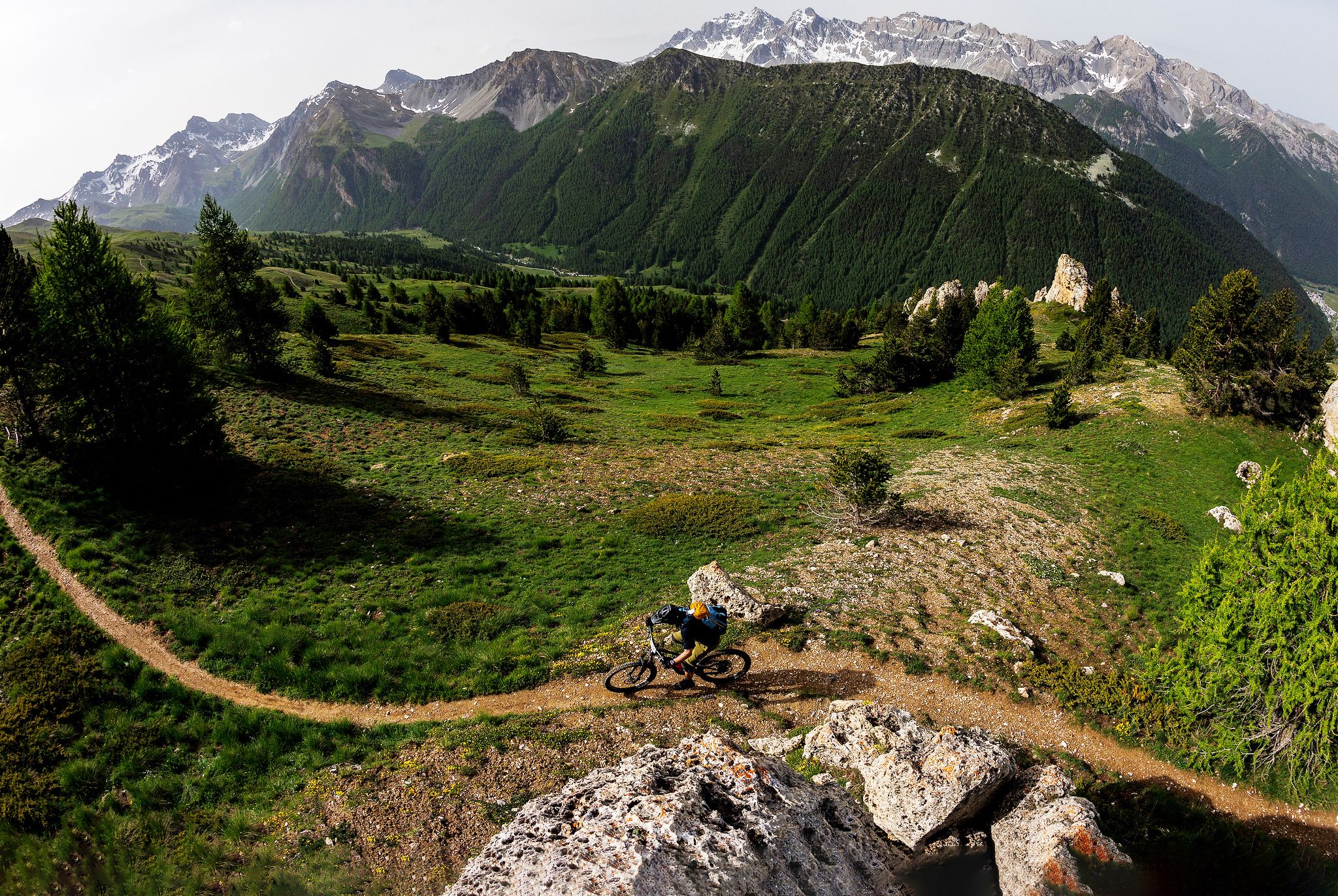
The STONE KING Route – adventure enduro from High Alps to the Med
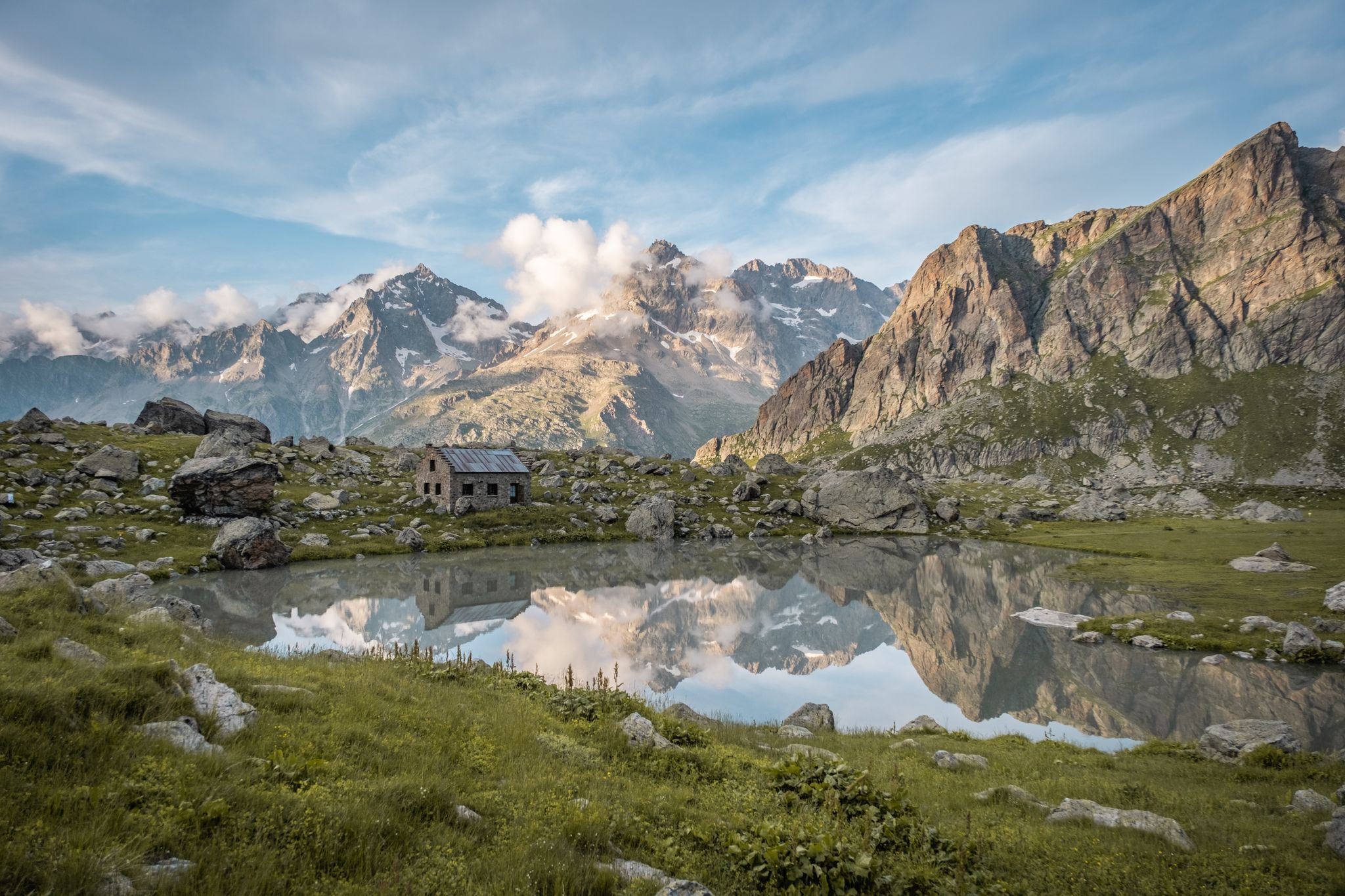
Seven hikes in France’s Southern Alps – refuges and high peaks
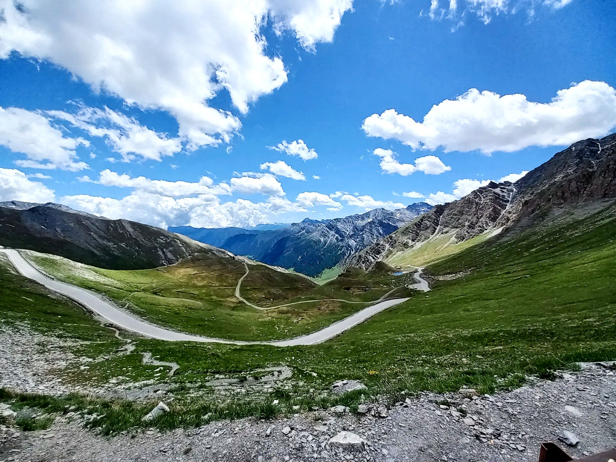
Lakes, white water and summits – Spain’s Queyras Mountains
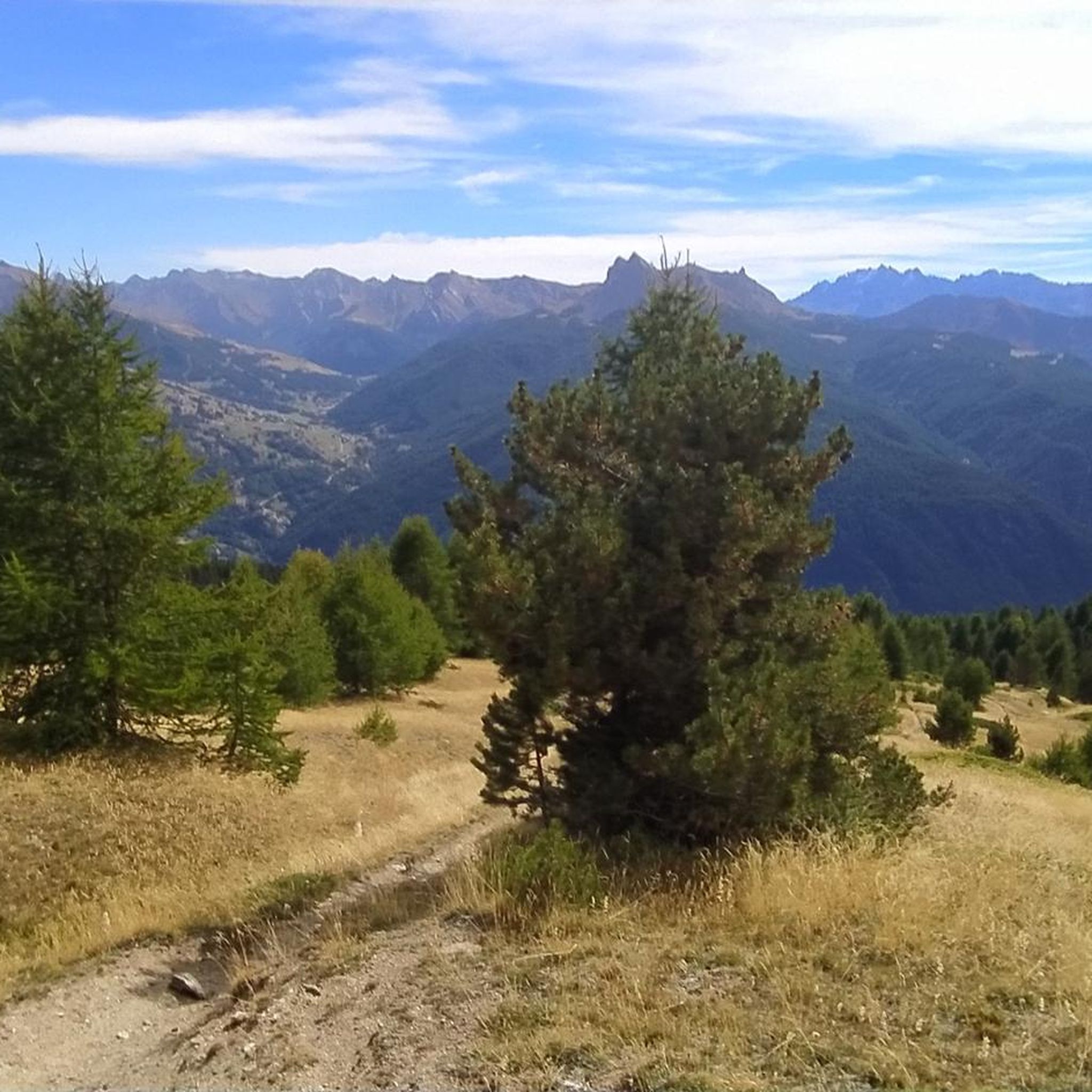
Road Cycling Routes around Château-Ville-Vieille
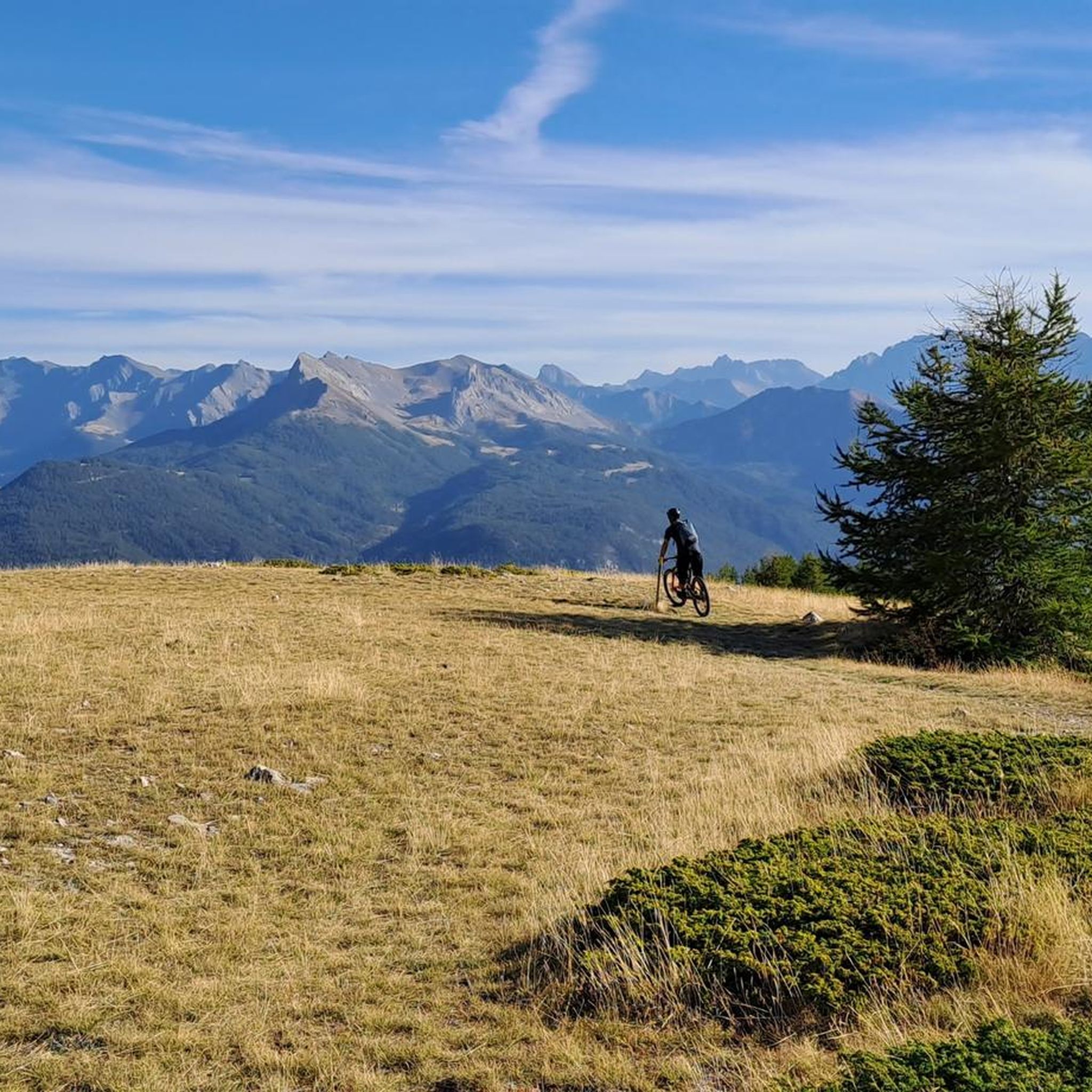
Hiking around Château-Ville-Vieille
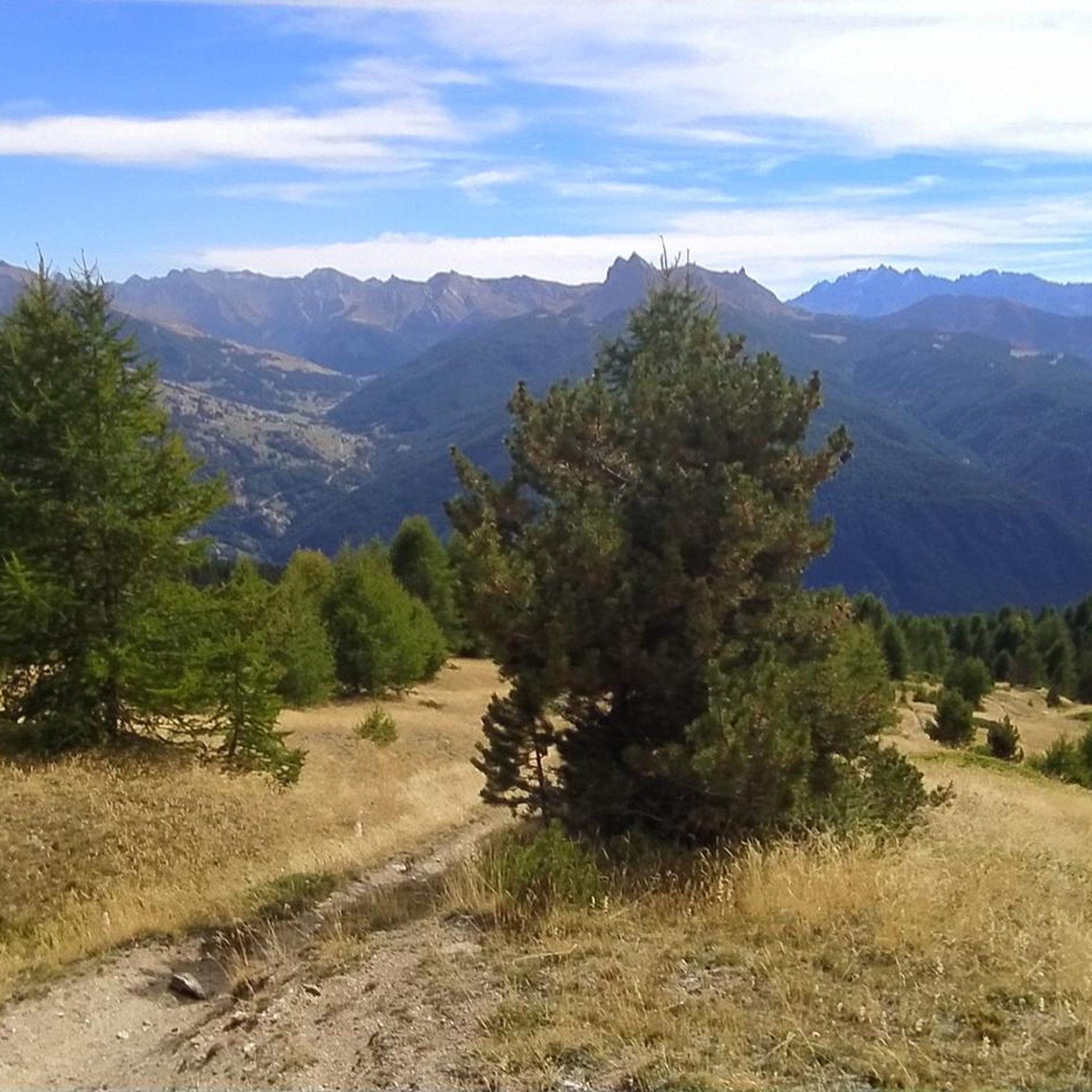
MTB Trails around Château-Ville-Vieille
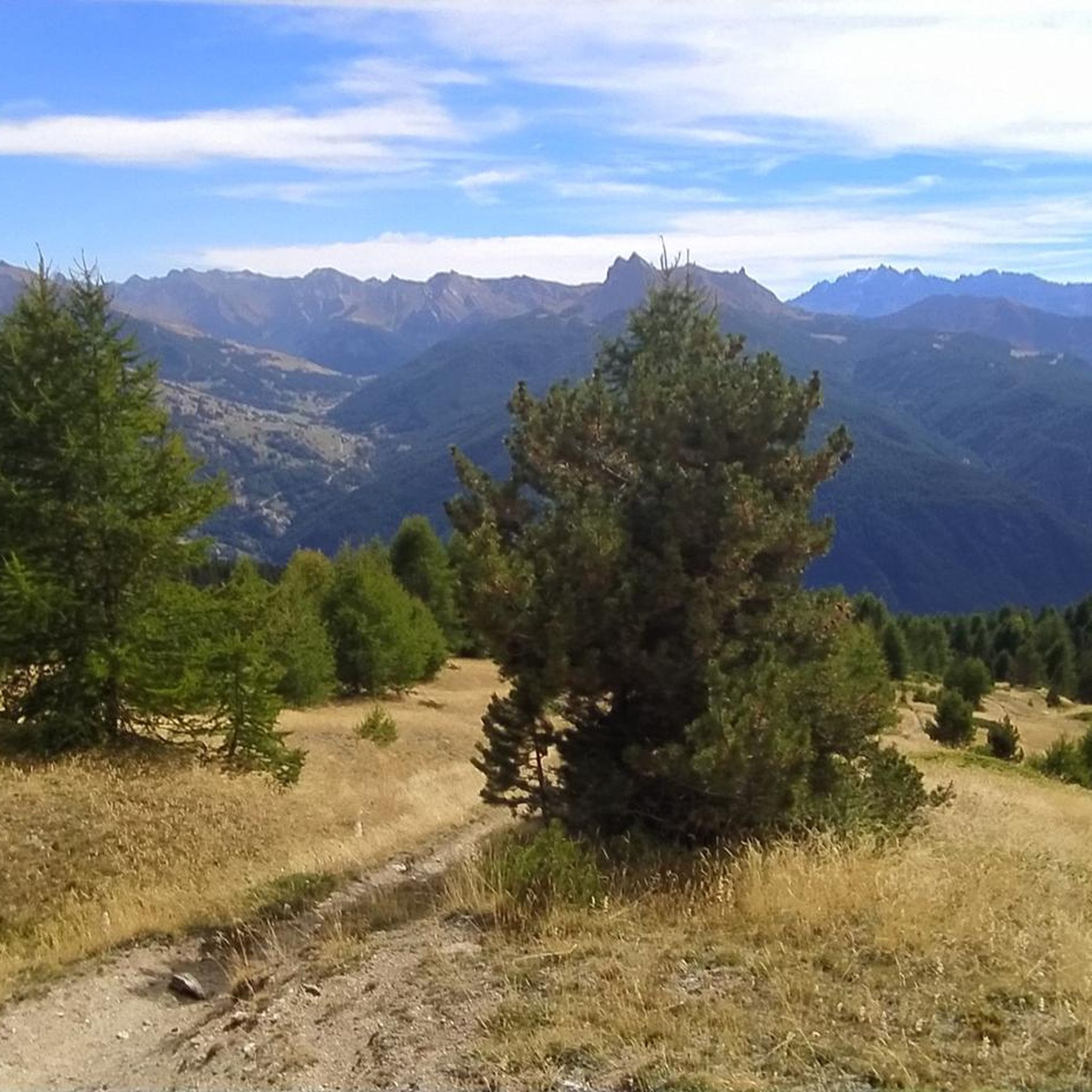
Cycling around Château-Ville-Vieille
Gravel biking around Château-Ville-Vieille

Mountain Hikes around Château-Ville-Vieille
Other adventures around Château-Ville-Vieille


Tips from the Community

The refuge is also open in the winter. Please note that reservations are required for lunch, and dogs are not allowed inside. The food is excellent.
1
0

A beautiful place, disconnected from the world (we just miss the road and the cars, which thankfully leave at the end of the day). Delicious meal despite basic dormitories and the lack of privacy in the bathrooms. Warm welcome, a great stopover!
0
0

The panoramic view is worth the climb, which is very long and challenging, with a very steep final stretch.
0
1

Simple path that starts from Capanna Mautino, you can follow the old military road, which is not difficult, or, in seasons without snow, you can cut through one of the countless paths visible through the low vegetation, saving a bit of time. Both solutions are simple and do not require special equipment
0
0
The path to reach it is simple and practicable, it does not present particular problems, it is also doable with children. I advise against it only on very hot days because it is very exposed. It is located on the top of the hill and is outside of shaded or wooded areas. So be careful of the heat. But it is worth seeing in its strangeness and solitude!
0
0
The sphere is the work of the artist Emanuele Marullo with the collaboration of Silvia Cioni. The work in progress speaks of a taking care of the place and would like to give value to what now appears as rubble. Building on the foundations of a former military outpost is a symbol of rebirth. The sphere, intentionally ephemeral, was conceived with the idea of a graft that respects the environment and the landscape.
0
0

I recommend going up from La Monta and going down towards Ristolas; you can enjoy the views even better from this direction. In summer, there are buses that stop at each village in the early morning and again in the late afternoon. But the complete tour on foot is not that difficult.
1
0

Beautiful modern bivouac with 6 beds. The climb at the end is very steep and tiring, but it is worth climbing up here. It is located just below the Dormillouse peak. During my visit in August 2024 I did not see any mattresses, so it is advisable to bring a sleeping bag, and there is no water, not even a small stream nearby, so rooms already stocked with drinks if you want to stay a long time.
0
0
Frequently Asked Questions
What are some of the most popular mountain peaks to visit near Château-Ville-Vieille?
The region offers a variety of popular peaks. For a challenging experience, consider the Pic de la Font Sancte, the highest peak entirely within the Queyras massif. Another highly regarded summit is Dormillouse Summit, which is popular for both hiking and ski mountaineering. Visitors also appreciate The Fonts of Cervières, a summit known for its preserved wild valley and rich heritage.
Are there any challenging mountain peaks for experienced hikers and mountaineers?
Yes, the Queyras Regional Natural Park offers several challenging ascents. The Pic de la Font Sancte (3,385 m) is a formidable challenge with dolomitic crags and routes up to 40 degrees slope. The Pic de Rochebrune (3,320 m) is another demanding option, featuring easy climbing sections and steep scree, often taking 7-8 hours to complete from Col d'Izoard.
Which peaks offer the best panoramic views of the region?
For exceptional 360-degree panoramas, the Pic de Rochebrune (3,320 m) is highly recommended, offering views of the French, Swiss, and Italian Alps. La Gardiole de l'Alp (2,786 m) also provides a stunning 360-degree vista of the entire Queyras massif, including the Guil and Saint Véran valleys. Even the more accessible Sommet Bûcher (2,254 m) offers superb views of the entire Queyras region.
Are there any accessible mountain peaks suitable for less experienced hikers or families?
Yes, the Sommet Bûcher (2,254 m) is a popular choice for its stunning panoramic views without extreme difficulty, making it more accessible. Additionally, the path to Mirage Sphere by Emanuele Marullo at Cima Fournier is described as simple and practicable, even with children, offering a unique artistic installation at the summit.
What unique natural features or landmarks can I find on these mountain peaks?
The region is characterized by high alpine scenery, diverse flora, and wildlife, including larch forests, alpine pastures, rocky ridges, and high-altitude lakes. On the Sommet Bûcher, you'll find a stone hut with orientation tables, historically an important military observation point. The Fonts of Cervières features typical old alpine chalets and several fountains in a preserved wild valley.
What is the best time of year to visit the mountain peaks around Château-Ville-Vieille?
The region is generally best explored during the warmer months for hiking, when trails are clear of snow. However, some peaks like Dormillouse Summit are also excellent for ski mountaineering, suggesting winter access for specific activities. Always check local conditions before planning your trip, especially for higher, more challenging peaks.
Are there any specific safety recommendations for hiking the more challenging peaks?
For challenging peaks like Pic de Rochebrune, which features easy climbing sections and steep scree, a helmet and a 20-meter rope are advisable. For the Pain de Sucre, which includes aerial passages and potentially slippery slabs, a local guide is highly recommended for safety and an optimal experience. Always be prepared for high-mountain conditions, including sun protection at higher, treeless elevations.
What kind of outdoor activities can I do near the mountain peaks around Château-Ville-Vieille?
Beyond hiking and mountaineering, the area offers excellent opportunities for cycling and gravel biking. You can find various routes, such as the challenging 'Col de l'Izoard – La Belle Échappée loop' for touring bicycles or 'Col d'Izoard, Col de Péas and Vallée des Fonts' for gravel biking. Explore more options on the Cycling around Château-Ville-Vieille guide or the Gravel biking around Château-Ville-Vieille guide.
Are there any huts or bivouacs available for overnight stays near the summits?
Yes, Corradini Bivouac is a modern hut located just below the summit of the Dormillouse. It offers comfortable accommodation with beautiful views from the inside, making it a rewarding stop after a long walk in a fairytale setting.
What do visitors particularly enjoy about the mountain peaks in this region?
Visitors frequently praise the breathtaking panoramic views, the immersive high-mountain experience, and the diverse landscapes ranging from larch forests to rocky ridges. The sense of accomplishment after reaching a summit, like the Corradini Bivouac, is often highlighted as a significant reward. The preserved natural and military heritage, such as at The Fonts of Cervières, also adds to the unique appeal.
Which peak marks the border between France and Italy?
The iconic Pain de Sucre (3,208 m) marks a natural border between France and Italy. Its ascent offers spectacular views that encompass not only the French Alps but also glimpses of the Swiss and Italian ranges, including Mont Viso and Mont Blanc.
Can I find any historical sites or military heritage on the mountain peaks?
Yes, the Sommet Bûcher (2,254 m) was historically an important military observation point, and you can find a stone hut with orientation tables at its summit. Additionally, The Fonts of Cervières valley is known for its rich military and natural heritage, close to the Italian border.
Most popular routes around Château-Ville-Vieille
Most popular attractions around Château-Ville-Vieille

Get inspired with the komoot mobile app


Explore more
See even more amazing summits around Château-Ville-Vieille with these guides:
