The 20 Most Amazing Peaks around Arvieux
Best mountain peaks around Arvieux are situated within the Queyras Regional Natural Park. This region offers a diverse array of mountain peaks, providing varied experiences for outdoor enthusiasts. The area's geological and historical landscape is reflected in its prominent summits. Arvieux serves as a base for exploring this mountainous terrain.
Best mountain peaks around Arvieux
- The most popular mountain peaks include Corradini Bivouac, a hut located just below the Dormillouse summit. It offers a modern bivouac experience with views…
Last updated: May 11, 2026
Corradini Bivouac
Highlight • Mountain Hut
Translated by Google •
Tip by

The Fonts of Cervières
Highlight • Summit
Translated by Google •
Tip by

Sign up now to discover places like this
Get recommendations on the best single tracks, peaks, & plenty of other exciting outdoor places.
Sign up for free
Dormillouse Summit
Highlight • Summit
also an excellent ski mountaineering trip
Translated by Google •
Tip by
Tête de Jacquette
Highlight • Summit
Translated by Google •
Tip by
Chenaillet
Highlight • Summit
Translated by Google •
Tip by

Sign up for free to discover even more peaks around Arvieux.
Sign up for free
Already have an account?
Start today with a free account
Your next adventure awaits.
Login or Signup
Popular around Arvieux
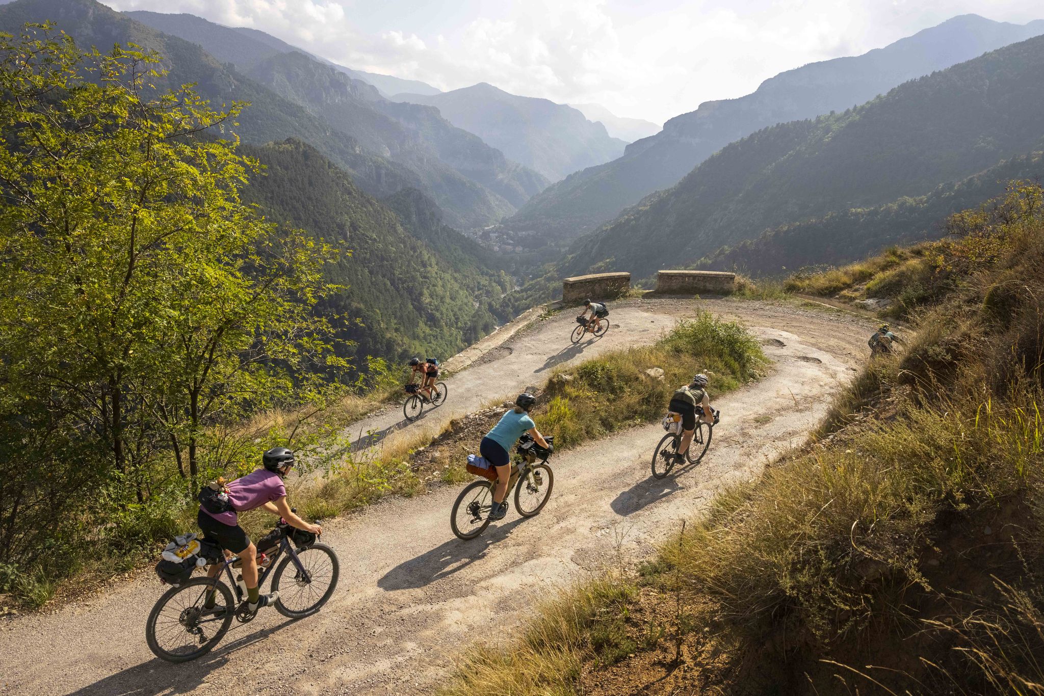
Lael's 2021 Komoot Women's Torino Nice Rally
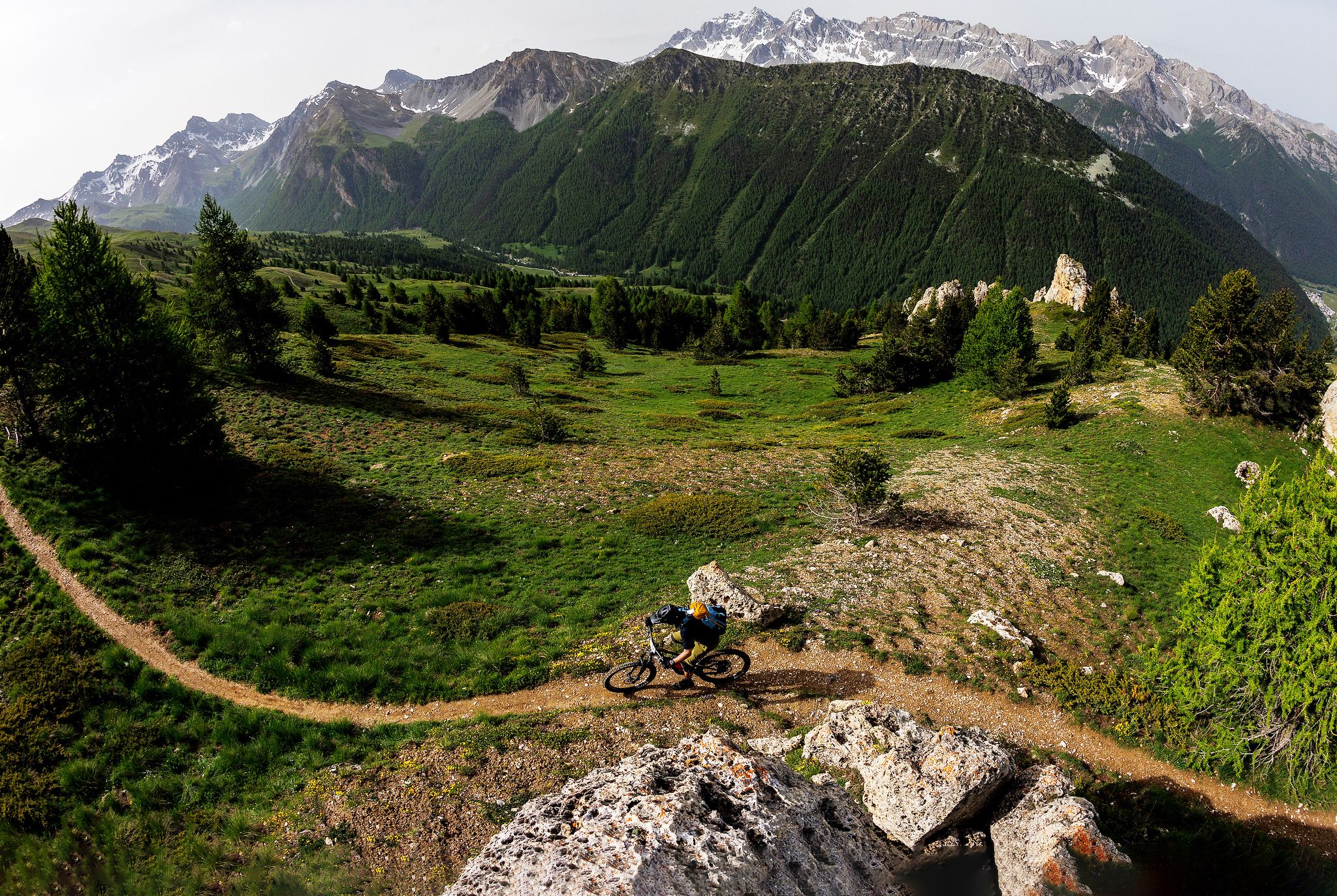
The STONE KING Route – adventure enduro from High Alps to the Med

Hike from Saint-Étienne-de-Tinée to Briançon – Europe Trail (GR 5)

Legendary passes of the Tour de France
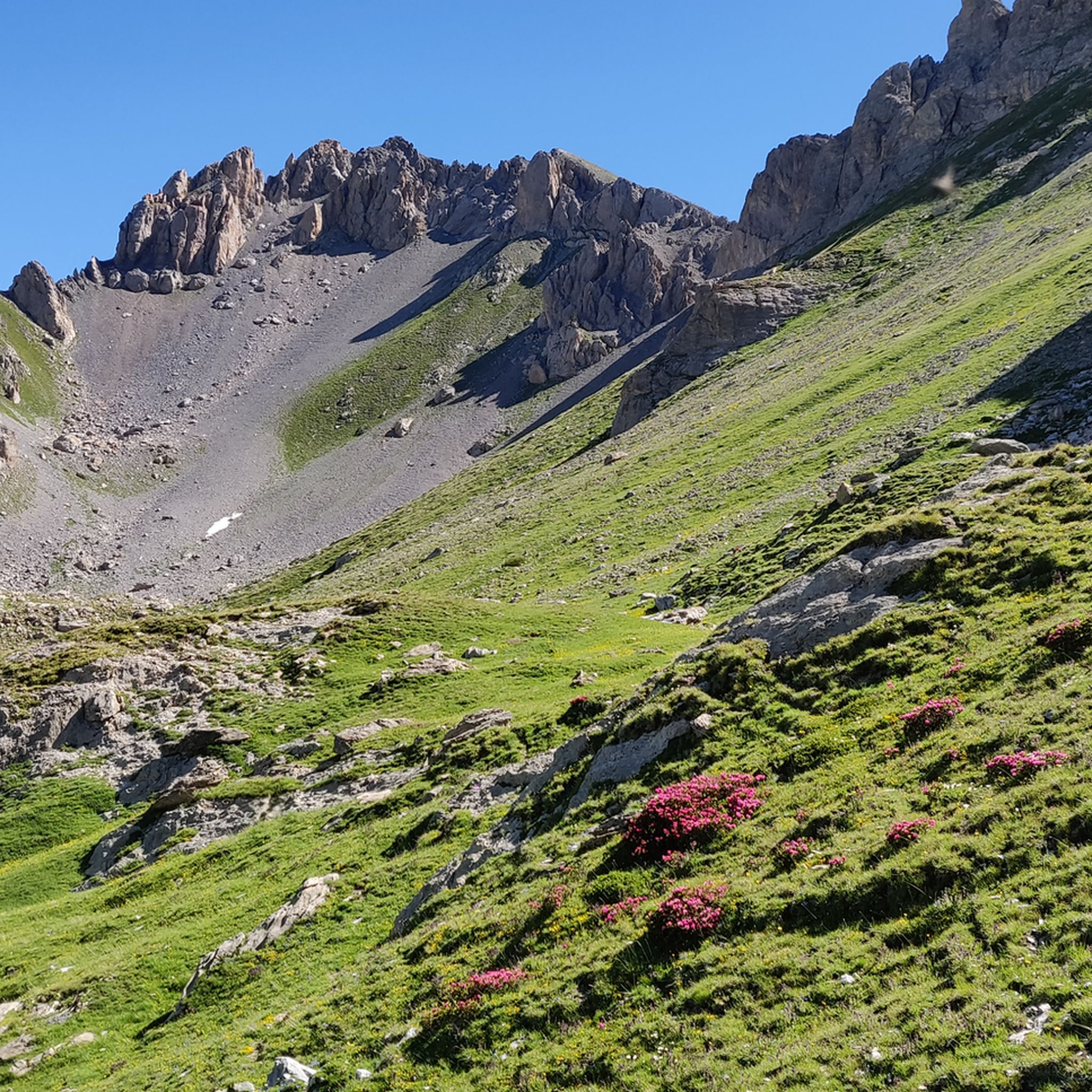
Hiking around Arvieux
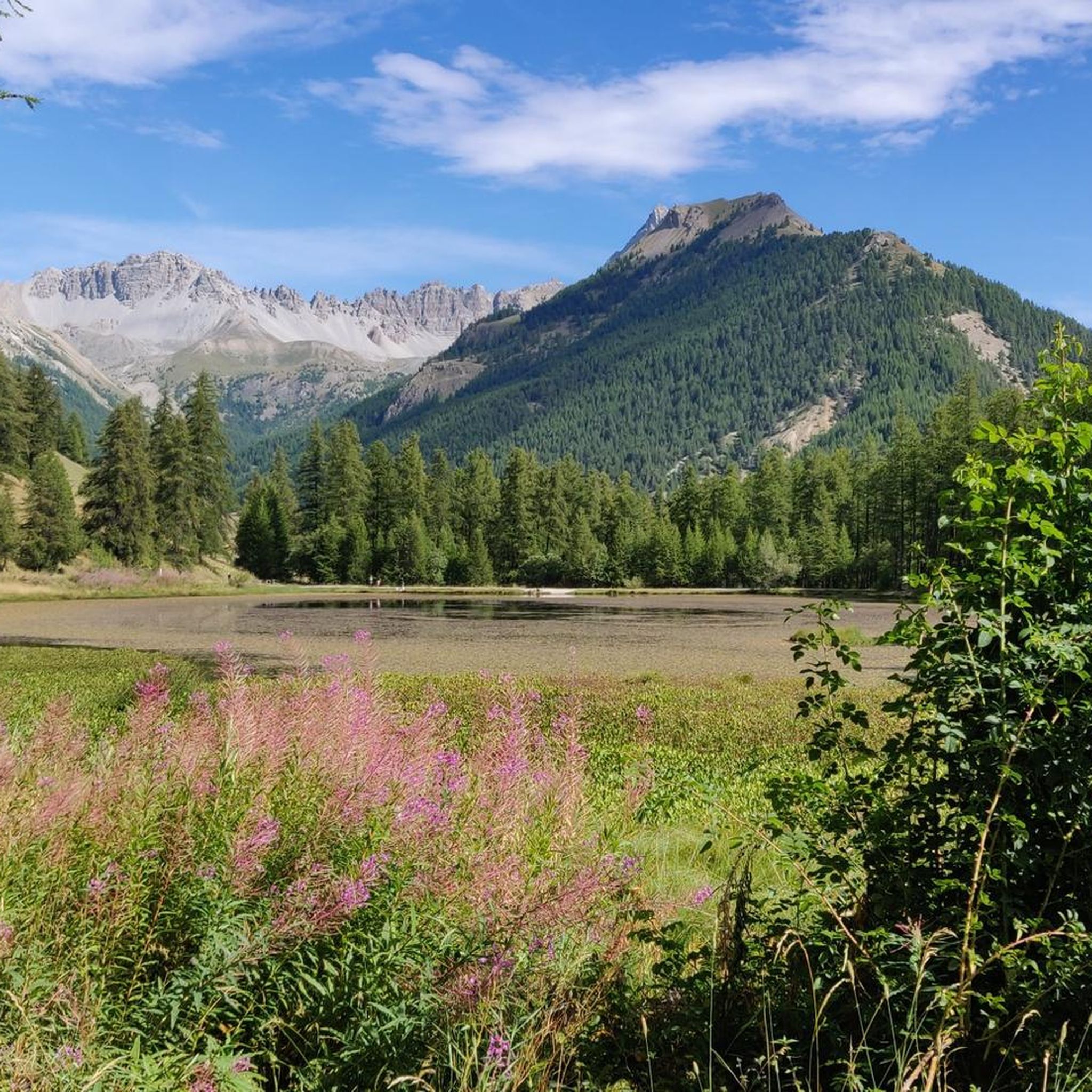
Road Cycling Routes around Arvieux
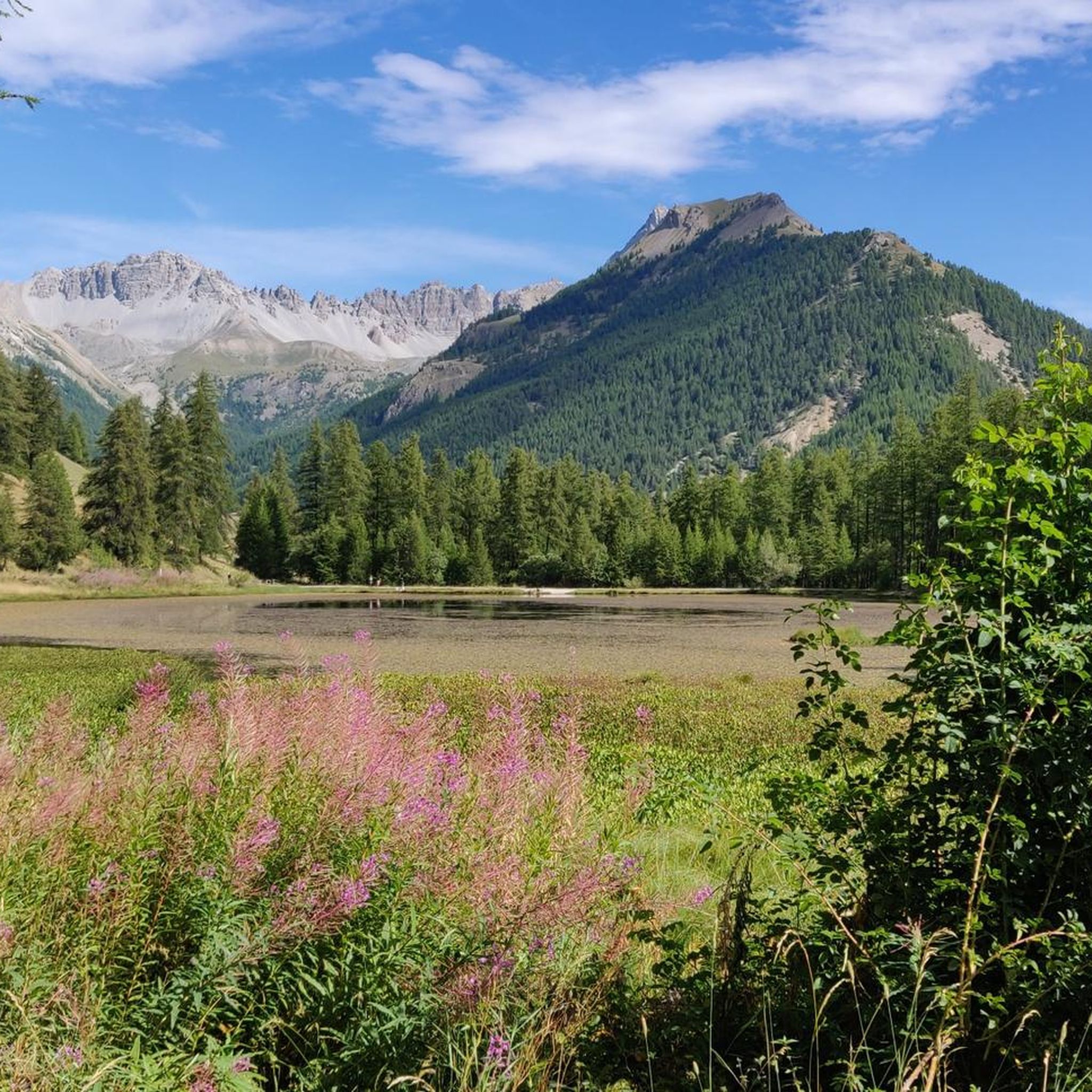
MTB Trails around Arvieux
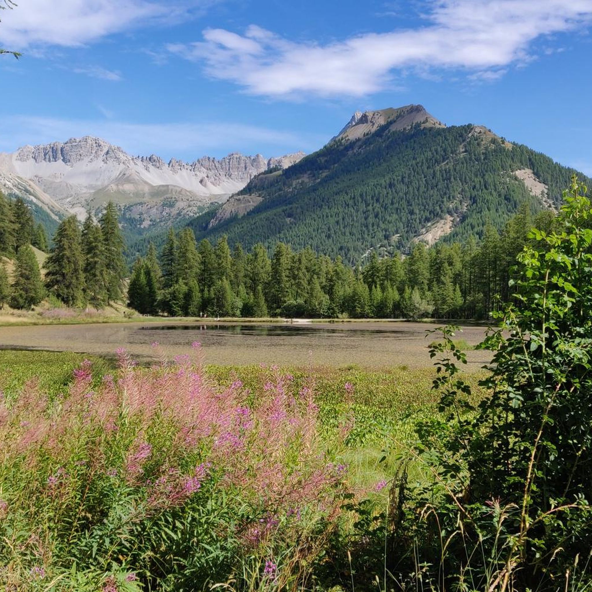
Cycling around Arvieux
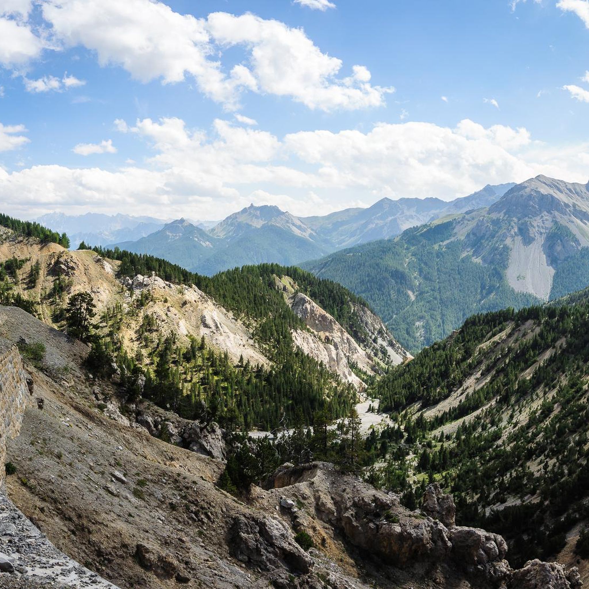
Running Trails around Arvieux
Gravel biking around Arvieux
Other adventures around Arvieux


Tips from the Community

A beautiful place, disconnected from the world (we just miss the road and the cars, which thankfully leave at the end of the day). Delicious meal despite basic dormitories and the lack of privacy in the bathrooms. Warm welcome, a great stopover!
0
0

You may or may not be a geology enthusiast, but it is undeniable that this climb is worth it for the exceptional panorama. The path is airy, but not dangerous, not to be underestimated, however, if you suffer from vertigo for a couple of "psychological" traverses, also, obviously, to be avoided if there is a threat of a storm! There is no water, so bring a good supply, to stop at the top you need to choose a day without wind, and then you can fully enjoy the spectacular panorama. To complete the tour, a little caution is needed (and good shoes...) for some slightly slippery gravel sections
1
0

The panoramic view is worth the climb, which is very long and challenging, with a very steep final stretch.
0
1
In order we find Lac du Fond then the Corradini Bivouac and the Dormillouse Peaks
0
0

@Mumu - from the Col des Estronques, it's mainly a ridge path, but no really dizzying passage. On the other hand, from the other side, it's a little more exposed.
1
0

Peak on the Italian-French border, reachable from the municipality of Cesana starting from Rhuilles and passing by the Corradini bivouac below
0
0
Beautiful modern bivouac with 6 beds. The climb at the end is very steep and tiring, but it is worth climbing up here. It is located just below the Dormillouse peak. During my visit in August 2024 I did not see any mattresses, so it is advisable to bring a sleeping bag, and there is no water, not even a small stream nearby, so rooms already stocked with drinks if you want to stay a long time.
0
0

Good morning everyone! Is the bivouac always open or do you have to ask someone for the keys? A thousand thanks
0
0
Frequently Asked Questions
What are some of the most challenging mountain peaks around Arvieux?
For experienced mountaineers, Rochebrune Peak (3320 m) offers a difficult ascent from the Col d'Izoard. Another challenging option is the Dormillouse Summit, which is a good length and can also be an excellent ski mountaineering trip.
Are there any mountain peaks in Arvieux with significant historical or military importance?
Yes, Clot la Cîme (2732 m), overlooking the Col d'Izoard, bears traces of past military occupation, possibly an optical post. Additionally, The Fonts of Cervières area features a rich military heritage, with mountain pastures dominated by peaks over 3,000 m.
Which mountain peaks offer the most expansive views of the region?
Côte Belle (2854 m) provides expansive views that can stretch as far as the Barre des Ecrins and Mont Blanc on clear days. Chenaillet is also known for its exceptional panorama, and Tête de Jacquette offers a superb 360° panorama of the Queyras, including Monte Viso.
What unique geological features can be found among the peaks near Arvieux?
The region is known for its dolomitic peaks, such as the imposing Rochebrune Peak. The Oules Ridge (2800 m) is composed of dolomitic limestone resting on lustrous shale, majestically towering above Lac de Souliers. Chenaillet is also a notable geological site.
What is the highest point within the commune of Arvieux itself?
The highest point within the commune of Arvieux is Pic du Béal Traversier, standing at 2912 m.
What do visitors particularly appreciate about the mountain peaks around Arvieux?
Visitors frequently highlight the stunning views and the sense of accomplishment after a climb. For instance, the Corradini Bivouac is praised for its modern facilities and beautiful views from inside, while the climb to Chenaillet is valued for its exceptional panorama.
Are there opportunities for other outdoor activities near the mountain peaks in Arvieux?
Yes, the area around Arvieux offers diverse outdoor activities. You can find numerous hiking routes, such as the moderate Lac de Souliers loop or more difficult treks like the Shoes – Tronchet Pass loop. For cyclists, there are challenging road cycling routes, including those attacking the Col Agnel. You can explore more options on the Hiking around Arvieux, Road Cycling Routes around Arvieux, and Cycling around Arvieux guide pages.
Which mountain peaks are known for their dramatic or rugged appearance?
The Croseras Ridge (2622 m) is particularly notable for its jagged appearance, dramatically dominating Villargaudin and the Combe du Guil. Locals even refer to it as the "rocher de maranetch," meaning "bad night," due to its rugged nature.
Where can I find a modern bivouac experience near a summit in Arvieux?
The Corradini Bivouac is a modern facility located just below the Dormillouse Summit. It offers a unique experience with beautiful views directly from inside the bivouac.
What is the best time of year to hike the mountain peaks around Arvieux?
The best time to visit for hiking is generally during the warmer months when trails are clear of snow. The Queyras Regional Natural Park, where Arvieux is located, offers stunning conditions from late spring through early autumn, allowing access to most peaks and high-altitude trails.
Are there any peaks that offer views of distant famous mountains like Mont Blanc?
Yes, from Côte Belle (2854 m), on clear days, you can enjoy expansive views that can stretch as far as the Barre des Ecrins and even Mont Blanc. Similarly, Tête de Jacquette offers a 360° panorama where you can spot Monte Viso.
What should I know before hiking to Chenaillet?
The climb to Chenaillet offers an exceptional panorama. The path is airy but generally not dangerous, though it should not be underestimated if you experience vertigo. It's crucial to bring a good supply of water as there is none available on the route, and it's best to choose a day without strong winds to fully enjoy the summit. Good shoes are also recommended for some slightly slippery gravel sections.
Most popular routes around Arvieux
Most popular attractions around Arvieux

Get inspired with the komoot mobile app


Explore more
See even more amazing summits around Arvieux with these guides:
