Top 9 Mountain Passes around Saint-Julien-En-Champsaur
Best mountain passes around Saint-Julien-En-Champsaur are found within the Champsaur valley, near the Écrins National Park. This region provides a setting for exploring various mountain passes. The area features diverse terrain suitable for different outdoor activities. It serves as a base for accessing routes with notable elevations and panoramic views.
Best mountain passes around Saint-Julien-En-Champsaur
- The most popular mountain passes is Col de Gleize (1691 m), a mountain pass that is accessible by car via a narrow road. It…
Last updated: June 26, 2026
Col de Moissière (1573 m)
Highlight • Mountain Pass
Translated by Google •
Tip by

Col de Gleize (1691 m)
Highlight • Mountain Pass
Translated by Google •
Tip by

Sign up now to discover places like this
Get recommendations on the best single tracks, peaks, & plenty of other exciting outdoor places.
Sign up for free
Col du Viallet
Highlight • Mountain Pass
Translated by Google •
Tip by

Pisse Pass
Highlight • Mountain Pass
Translated by Google •
Tip by

Col de Manse
Highlight • Mountain Pass
More information: de.wikipedia.org/wiki/Kanal_von_Gap and quaeldich.de/paesse/col-de-manse
Translated by Google •
Tip by

Sign up for free to discover even more mountain passes around Saint-Julien-En-Champsaur.
Sign up for free
Already have an account?
Start today with a free account
Your next adventure awaits.
Login or Signup
Popular around Saint-Julien-En-Champsaur
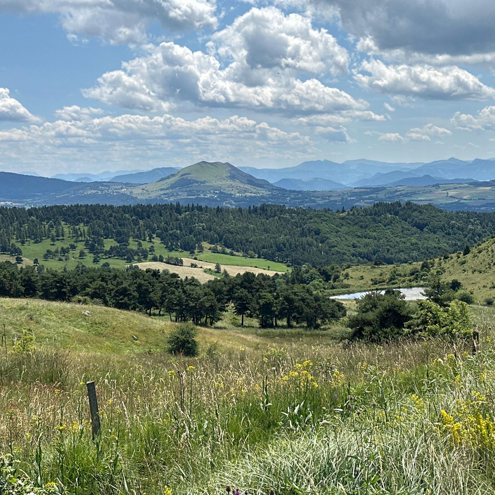
Road Cycling Routes around Saint-Julien-En-Champsaur
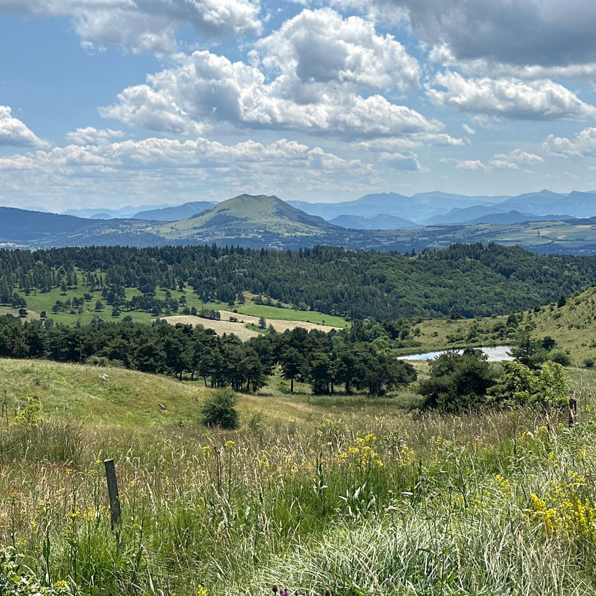
Cycling around Saint-Julien-En-Champsaur
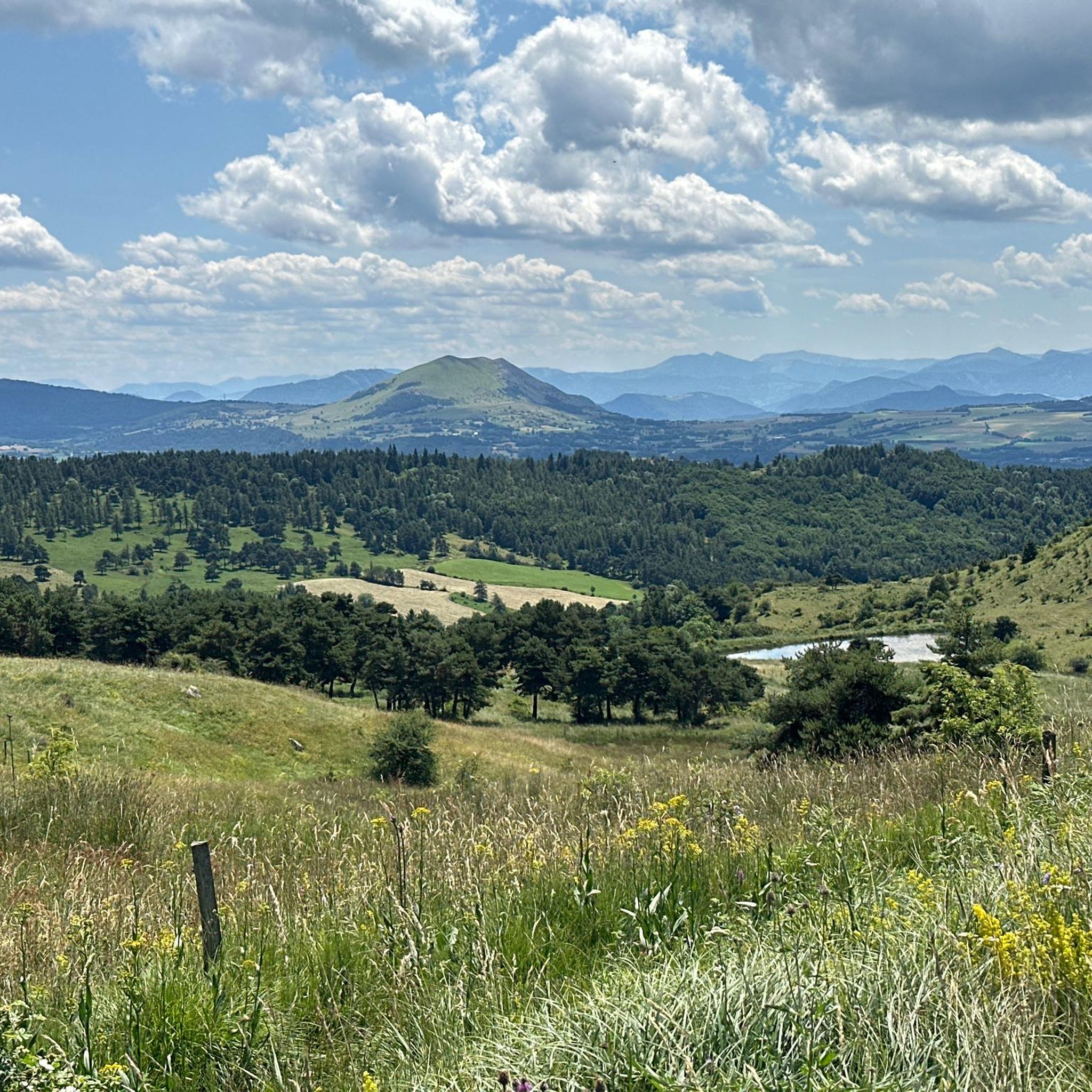
MTB Trails around Saint-Julien-En-Champsaur
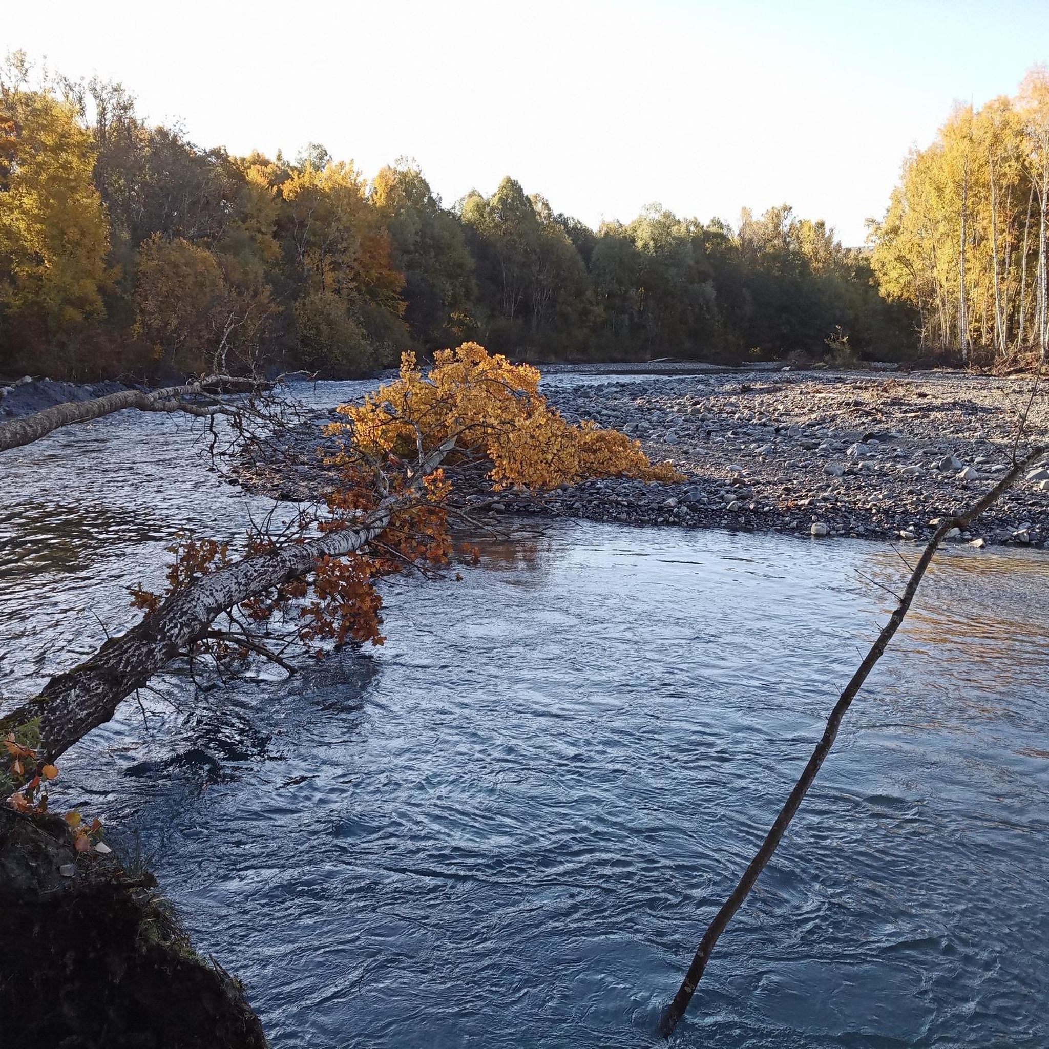
Hiking around Saint-Julien-En-Champsaur
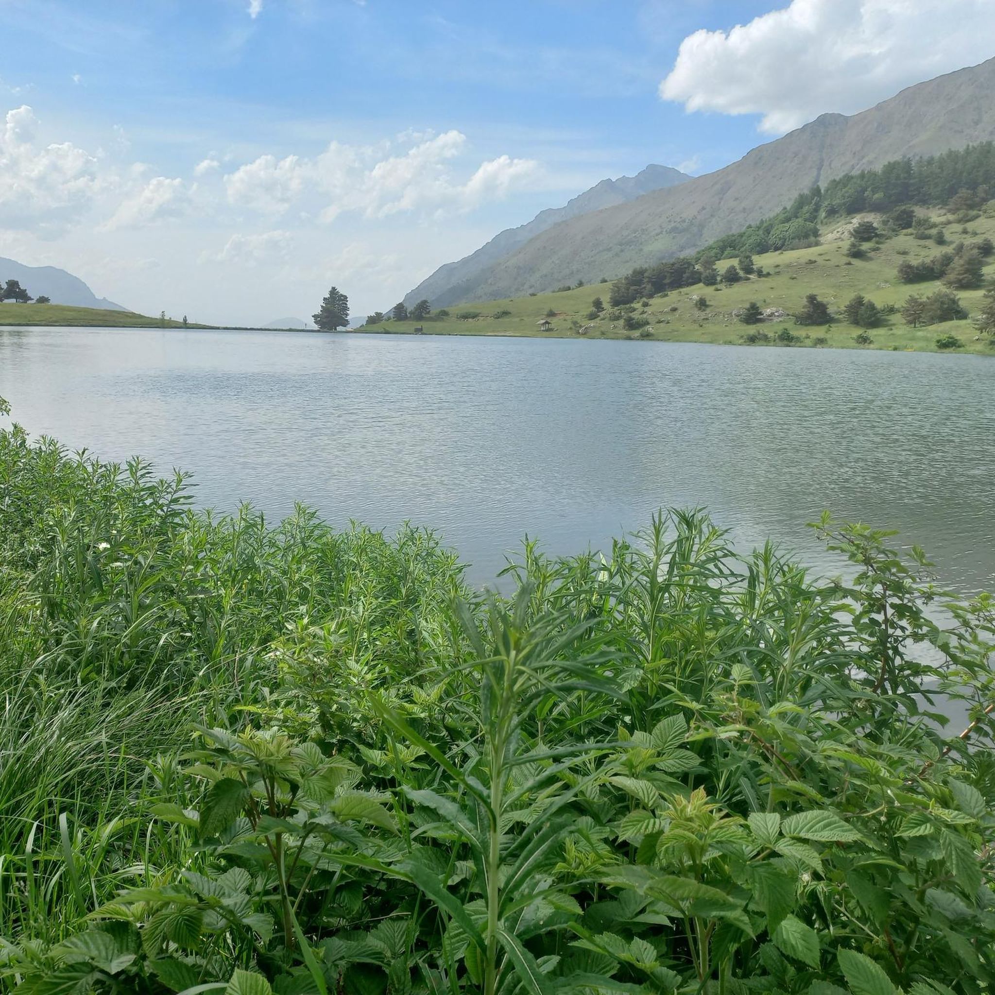
Running Trails around Saint-Julien-En-Champsaur

Gravel biking around Saint-Julien-En-Champsaur
Mountain Hikes around Saint-Julien-En-Champsaur
Tips from the Community


The climb has steep sections and stretches that make you breathe, at the top a fabulous panorama awaits you. Little traffic.
19
0

Located under the Pointe du Lingustier at an altitude of 2,240 meters, the Col du Viallet offers spectacular views of its two sides. It opens up a wide panorama of the Queyrel peak.
0
0
Culminating at 2,354 meters, the Col de la Pisse offers beautiful panoramas of the Écrins massif.
0
0

Pleasant course with little traffic when I did it 👍
1
0

It is accessible by car via a pretty narrow road and has parking as it is the starting point for many trails.
1
0

We reach the summit of the Col de Moissière after a fairly quiet climb which links Les Cesaris to Ancelle. The climb is 9.5 kilometers long with an average gradient of 7.5% and steep sections with gradients reaching 14.6%.
4
0

Very nice atmosphere. What a contrast between the S and N side!
0
0
Frequently Asked Questions
What are some of the most notable mountain passes in the Champsaur and Écrins area?
The region around Saint-Julien-En-Champsaur offers several impressive mountain passes. Highlights include the Col de Gleize (1691 m), known for its accessibility by car and as a starting point for trails, and the Col de Moissière (1573 m), which features a cycle way and panoramic views. Other significant passes mentioned in the broader area include Col de Freissinières, Vallon Pass, and Col d'Arsine.
Which mountain passes offer the best panoramic views?
For spectacular vistas, consider the Col du Viallet, which provides views of the Pic Queyrel. The Col de Freissinières offers views of Lake Estaris, while the Vallon Pass is a superb belvedere for Lake Muzelle and Lake Lauvitel. The Col de la Pisse provides beautiful panoramas of the Écrins massif, particularly the Pic de Clouzis. Additionally, the Col de Riou Beyrou offers an incredible panorama of surrounding peaks in a wild setting.
Are there mountain passes suitable for cycling?
Yes, the Col de Moissière (1573 m) is a popular choice for cyclists, featuring a dedicated cycle way. The climb is approximately 9.5 kilometers long with an average gradient of 7.5%, offering a rewarding panorama at the summit. You can find more cycling routes in the area by exploring the Cycling around Saint-Julien-En-Champsaur guide.
Which mountain passes offer good hiking opportunities?
Many passes in the region are excellent for hiking. The Col de Freissinières is primarily a hiking pass with spectacular views of Lake Estaris. The Vallon Pass, though challenging, is a pedestrian-only route offering views of Lake Muzelle and Lake Lauvitel and is part of the GR 54. Col d'Arsine is accessible via a marked trail and is considered a relatively popular hike. The Tourettes Mountain Pass is suitable for good walkers, traversing larch groves and offering views of the Champsaur. For more hiking options, check out the Mountain Hikes around Saint-Julien-En-Champsaur guide.
Are there challenging mountain passes for experienced hikers?
Yes, for experienced hikers seeking a challenge, the Vallon Pass is a pedestrian-only route at 2,540 meters, described as quite challenging with rocky and steep switchbacks. Caution is advised in case of rain. The Col de Riou Beyrou, at 2,695 meters, is also categorized as challenging and offers an incredible panorama in a wild setting. The GR 54, which crosses 14 mountain passes in the Écrins National Park, is considered one of the most untamed and difficult Alpine hiking routes.
What kind of outdoor activities can I do near the mountain passes?
Beyond exploring the passes themselves, the area around Saint-Julien-En-Champsaur is ideal for various outdoor activities. You can find numerous routes for cycling, including challenging loops like 'The bocage of Champsaur by the road of Manse'. There are also extensive MTB trails, such as 'Very best of Chaillol', and diverse mountain hikes, including ascents to 'Vieux Chaillol'.
Can I see wildlife near the mountain passes?
Yes, the region is rich in wildlife. Near the Tourettes Mountain Pass, for example, visitors with binoculars might spot chamois on the slopes of the Dent mountain or observe the Wall Creeper bird. The Écrins National Park, bordering the Champsaur valley, is a protected area known for its diverse fauna.
Are there any mountain passes accessible by car?
Yes, the Col de Gleize (1691 m) is accessible by car via a narrow road. It also features parking, making it a convenient starting point for many trails in the area.
What do visitors appreciate most about the mountain passes around Saint-Julien-En-Champsaur?
Visitors frequently highlight the stunning panoramic views and the sense of accomplishment after reaching the summits. For instance, the climb to Col de Moissière is praised for its 'fabulous panorama' despite steep sections. The 'superb view' of the Pic Queyrel from Col du Viallet and the 'incredible panorama' from Col de Riou Beyrou are also highly appreciated. The overall natural beauty and the variety of trails are often mentioned.
What is the elevation of the mountain passes in this region?
The mountain passes in the Champsaur and Écrins area vary significantly in elevation. For example, the Col de Moissière is at 1,573 meters, and the Col de Gleize is at 1,691 meters. Higher passes include the Col du Viallet at 2,240 meters, the Col de la Pisse at 2,358 meters, the Vallon Pass at 2,540 meters, and the Col de Riou Beyrou at 2,695 meters. The Col de Freissinières reaches an elevation of 2,787 meters.
Are there any mountain passes that are part of long-distance hiking trails?
Yes, the Vallon Pass is an essential crossing point of the GR 54 long-distance hiking trail. The GR 54, also known as the 'Grand tour des Écrins,' is a major mountain hiking trail within the Écrins National Park, spanning 184 kilometers and crossing 14 mountain passes.
Most popular routes around Saint-Julien-En-Champsaur
Most popular attractions around Saint-Julien-En-Champsaur

Get inspired with the komoot mobile app


Explore more
See even more epic mountain passes by checking out these guides around Saint-Julien-En-Champsaur:
