Top 10 Mountain Passes around Saint-Bonnet-En-Champsaur
Mountain passes around Saint-Bonnet-En-Champsaur are located in the Hautes-Alpes department of the French Alps, within the Champsaur valley. This region serves as a gateway to several mountain passes that offer challenging climbs and scenic views. The area is characterized by its diverse landscapes, ranging from arid ridges to lush valleys. It is a destination for cyclists, hikers, and nature enthusiasts.
Best mountain passes around Saint-Bonnet-En-Champsaur
- The most popular mountain passes is Col de Gleize (1691 m), a mountain pass…
Last updated: June 26, 2026
Col du Noyer (1664 m)
Highlight • Mountain Pass
Translated by Google •
Tip by

Col de Gleize (1691 m)
Highlight • Mountain Pass
Translated by Google •
Tip by

Sign up now to discover places like this
Get recommendations on the best single tracks, peaks, & plenty of other exciting outdoor places.
Sign up for free
Col du Viallet
Highlight • Mountain Pass
Translated by Google •
Tip by

Pisse Pass
Highlight • Mountain Pass
Translated by Google •
Tip by

Pétarel Pass
Highlight • Mountain Pass
Translated by Google •
Tip by

Sign up for free to discover even more mountain passes around Saint-Bonnet-En-Champsaur.
Sign up for free
Already have an account?
Start today with a free account
Your next adventure awaits.
Login or Signup
Popular around Saint-Bonnet-En-Champsaur
Hiking around Saint-Bonnet-En-Champsaur
Road Cycling Routes around Saint-Bonnet-En-Champsaur
Cycling around Saint-Bonnet-En-Champsaur
MTB Trails around Saint-Bonnet-En-Champsaur
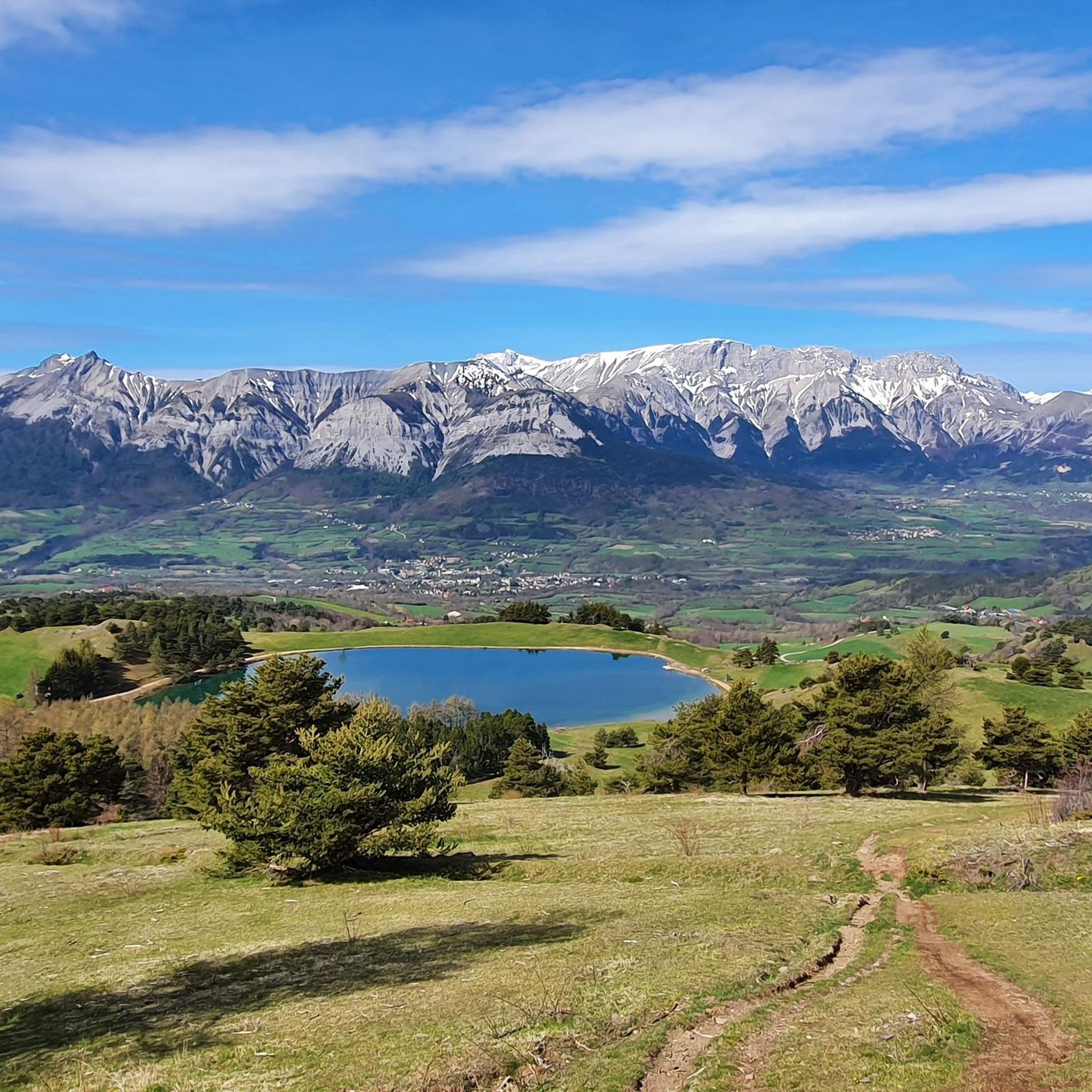
Running Trails around Saint-Bonnet-En-Champsaur

Gravel biking around Saint-Bonnet-En-Champsaur
Mountain Hikes around Saint-Bonnet-En-Champsaur
Tips from the Community

At times challenging climb with practically non-existent traffic. Panorama of indescribable beauty.
24
0

Magnificent Switchbacks! Real mountain road. When you arrive from Devoluy, discovering the view of Champsaur is absolutely magnificent. The descent is also very beautiful and fun but beware it remains a pass open to traffic even if the latter remains very light.
0
0

The Col de Noyer is a French mountain pass that separates the valleys of Champsaur and the Dévoluy region, in the Hautes-Alpes department. At an altitude of 1664 m, it is located between the Pic Ponsin and the Tête du Tourneau. It crosses the eastern ridge of the Dévoluy limestone massif.
1
0

Located under the Pointe du Lingustier at an altitude of 2,240 meters, the Col du Viallet offers spectacular views of its two sides. It opens up a wide panorama of the Queyrel peak.
0
0
Culminating at 2,354 meters, the Col de la Pisse offers beautiful panoramas of the Écrins massif.
0
0

Spectacular view. Two different atmospheres on each of the two arrivals, one very mineral, the other more bucolic.
3
0

It is accessible by car via a pretty narrow road and has parking as it is the starting point for many trails.
1
0

The Col de Pétarel is located at an altitude of 2,450 meters. From the pass there is a splendid view of the lakes and peaks of Valgaudemar.
1
0
Frequently Asked Questions
What are some of the most scenic mountain passes around Saint-Bonnet-En-Champsaur?
For breathtaking views, consider visiting Col du Noyer (1664 m), which offers incredible panoramic views of the arid ridges of Le Dévoluy and the lush Drac Valley. Col du Viallet provides spectacular views of both its sides and a wide panorama of the Queyrel peak. The Pisse Pass also offers beautiful panoramas of the Écrins massif, particularly the Pic de Clouzis.
Are there mountain passes with historical significance in the region?
Yes, several passes have historical importance. Col du Noyer features a mountain refuge inaugurated in 1858 and a Napoleon's refuge. Col de Manse is notable for its historical connection to Napoleon, with a "Refuge Napoleon" built in 1857-1858 to assist travelers. Col Bayard is also crossed by the historic Route Napoléon (N85).
What kind of outdoor activities can I do near these mountain passes?
The region around Saint-Bonnet-En-Champsaur is excellent for various outdoor activities. You can find numerous cycling routes, including challenging climbs like the one to Col du Noyer. There are also many running trails and road cycling routes available. For more details, explore the Running Trails around Saint-Bonnet-En-Champsaur, Cycling around Saint-Bonnet-En-Champsaur, and Road Cycling Routes around Saint-Bonnet-En-Champsaur guides.
Which mountain passes are popular for cycling?
Col du Noyer is highly regarded by cyclists for its demanding yet rewarding ascent and quiet roads, having been featured multiple times in the Tour de France. Col de Manse and Col Bayard have also been included in the Tour de France on several occasions, making them legendary climbs for cycling enthusiasts.
Are there any mountain passes suitable for hiking or with access to trails?
Absolutely. Col de Gleize (1691 m) is accessible by car and has parking, serving as a starting point for many trails. It's often linked with hiking routes offering magnificent views. Col du Viallet also serves as a starting point for many trails and offers spectacular views.
What are the difficulty levels of mountain passes in this area?
The mountain passes around Saint-Bonnet-En-Champsaur offer a range of difficulty levels. For instance, the climb to Col du Noyer from Le Noyer is challenging, with an average gradient of 8.2% and sections reaching 14.5%. Other passes like Col de Manse have more moderate climbs. The region provides options for intermediate, challenging, and scenic experiences, catering to different skill levels.
What makes Col Bayard a unique mountain pass?
Col Bayard is unique because it serves as a climatic boundary between the Northern and Southern Alps, resulting in distinct landscapes and vegetation on either side. It's also extremely popular with cyclists, having been featured in the Tour de France 27 times. Additionally, the Gap Bayard Golf course is located at this pass, offering an 18-hole course with views of the Vieux-Chaillol.
Can I find parking at the mountain passes for hiking or other activities?
Yes, some passes offer parking facilities. For example, Col de Gleize (1691 m) is accessible by car via a narrow road and has parking, making it a convenient starting point for many trails.
What is the highest mountain pass mentioned in the vicinity?
Among the notable passes, Col de Riou Beyrou is the highest, culminating at 2,695 meters above sea level. It offers an incredible panorama of the surrounding peaks in a wild environment and is dominated by the "Cabane des Parisiens," a small stone shelter.
What do visitors enjoy most about the mountain passes around Saint-Bonnet-En-Champsaur?
Visitors frequently praise the stunning panoramic views and the challenging yet rewarding ascents, especially for cycling. The quiet roads and the sense of accomplishment after a climb are often highlighted. The unique atmosphere and the contrast between different sides of the passes, like at Col du Viallet, are also highly appreciated.
Are there any mountain passes that offer views of the Écrins massif?
Yes, the Pisse Pass, culminating at 2,354 meters, offers beautiful panoramas of the Écrins massif, particularly of the Pic de Clouzis.
Most popular routes around Saint-Bonnet-En-Champsaur
Most popular attractions around Saint-Bonnet-En-Champsaur

Get inspired with the komoot mobile app


Explore more
See even more epic mountain passes by checking out these guides around Saint-Bonnet-En-Champsaur:
