The 6 Most Amazing Peaks around Saint-Bonnet-En-Champsaur
Mountain peaks around Saint-Bonnet-En-Champsaur are situated in the Champsaur Valley, bordering the Écrins National Park. This region offers diverse landscapes, from verdant areas to rugged, high-altitude terrain. The area provides numerous opportunities for exploring notable peaks and viewpoints, making it a destination for outdoor activities.
Best mountain peaks around Saint-Bonnet-En-Champsaur
- The most popular mountain peaks is Gleize Peak, a summit that offers magnificent views of the Bois du Chapter biological reserve and the high peaks of Dévoluy. It is…
Last updated: July 1, 2026
Gleize Peak
Highlight • Summit
Translated by Google •
Tip by

Charance Peak
Highlight • Summit
Translated by Google •
Tip by
Sign up now to discover places like this
Get recommendations on the best single tracks, peaks, & plenty of other exciting outdoor places.
Sign up for free
Pic de l'Aiguille
Highlight • Summit
Translated by Google •
Tip by
Vieux Chaillol
Highlight • Summit
Translated by Google •
Tip by

View of the Écrins Peaks
Highlight • Viewpoint
Tip by

Sign up for free to discover even more peaks around Saint-Bonnet-En-Champsaur.
Sign up for free
Already have an account?
Start today with a free account
Your next adventure awaits.
Login or Signup
Popular around Saint-Bonnet-En-Champsaur
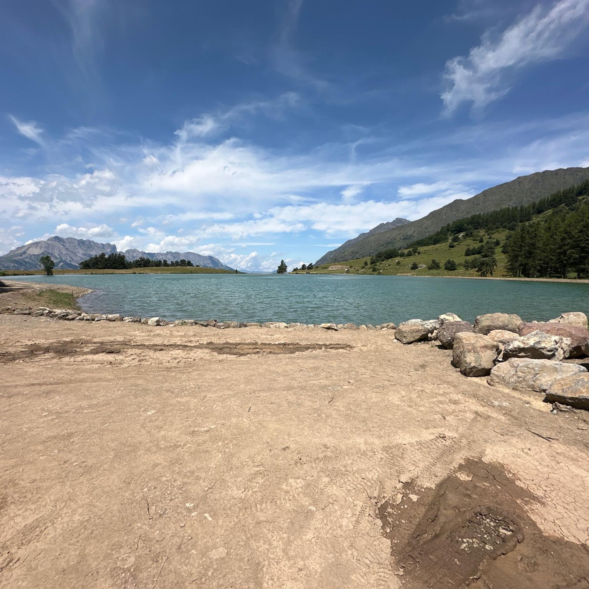
Hiking around Saint-Bonnet-En-Champsaur
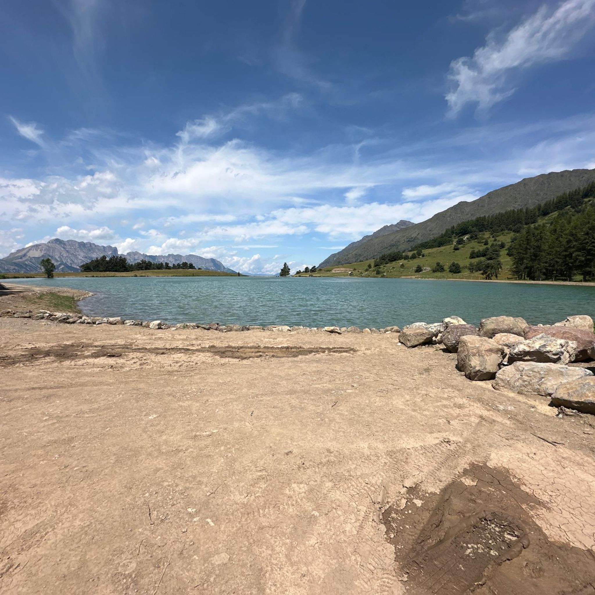
Road Cycling Routes around Saint-Bonnet-En-Champsaur
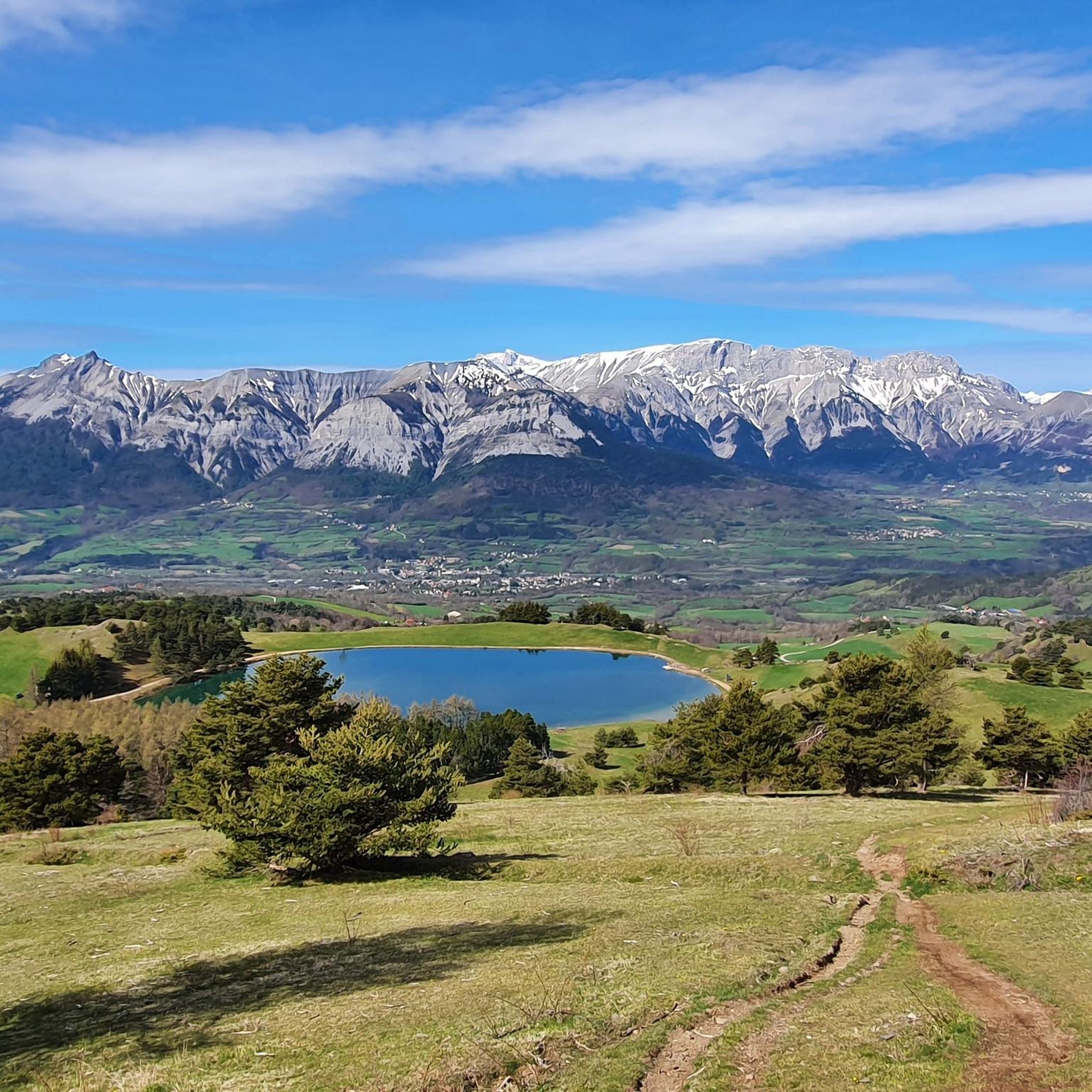
Cycling around Saint-Bonnet-En-Champsaur
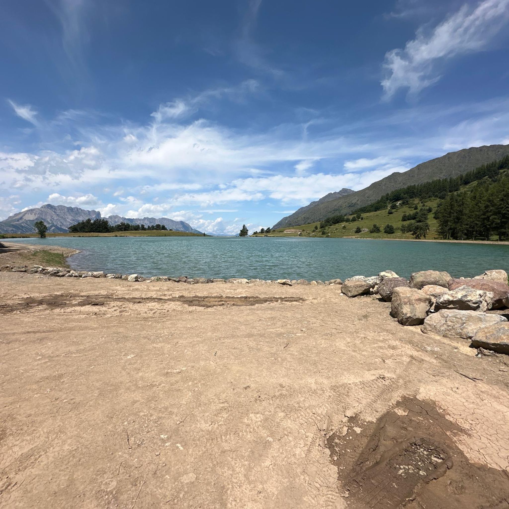
MTB Trails around Saint-Bonnet-En-Champsaur
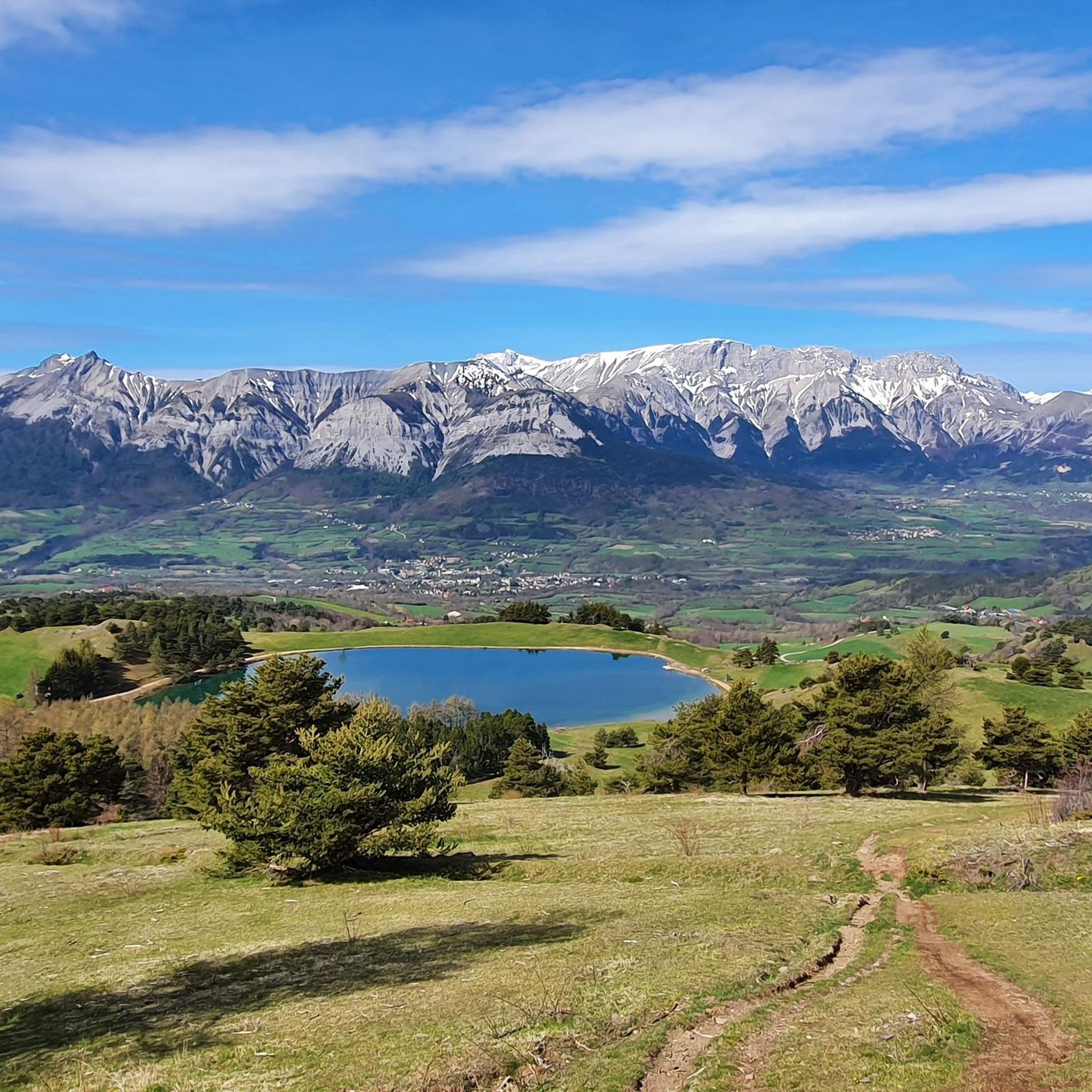
Running Trails around Saint-Bonnet-En-Champsaur

Gravel biking around Saint-Bonnet-En-Champsaur
Mountain Hikes around Saint-Bonnet-En-Champsaur
Tips from the Community

It is not possible to continue past the peak of the needle without climbing equipment. Don't take the risk.
0
0

Coming to the end of the walk here. One last look back to take in the range of peaks visible from here. Stunning!
0
0

For a great picnic with a 360° view of breathtaking landscapes: meet at Pic Chaudun 🌟
0
0
Splendid view but very dangerous passage. We turned around...
0
0

The Pic de Charance is 1,825 meters above sea level. From the summit, marked with a cross, there are exceptional views of the town of Gap, the Durance valley and the peak of Bure.
1
0
The Pic de l'Aiguille is located at an altitude of 2140 meters in the Dévoluy massif. The views from here on the ridge, the massif and the valley are splendid!
0
0
At 2,161 meters above sea level, the Gleize peak is located in the Dévoluy massif on a ridge which extends from the Charance mountain to the Faraut mountain. From here we have magnificent views of the Bois du Chapter biological reserve and the high peaks of Dévoluy.
0
1

Frequently Asked Questions
What are some of the most prominent mountain peaks to explore around Saint-Bonnet-En-Champsaur?
The region offers several notable peaks. Gleize Peak, at 2,161 meters in the Dévoluy massif, provides magnificent views of the Bois du Chapter biological reserve. Charance Peak, at 1,825 meters, offers exceptional views of Gap and the Durance valley. For a more challenging ascent, Vieux Chaillol, culminating at 3,163 meters, provides panoramic views of the high peaks of the Écrins massif.
Which peaks offer the best panoramic views of the surrounding landscape?
For breathtaking vistas, Vieux Chaillol offers a panoramic view of the high peaks of the Écrins massif. Charance Peak provides exceptional views of the town of Gap, the Durance valley, and the peak of Bure. Additionally, the View of the Écrins Peaks highlight offers a stunning perspective of the mountain range.
Are there any challenging mountain peaks for experienced hikers?
Yes, for experienced hikers, Vieux Chaillol is a challenging ascent culminating at 3,163 meters, offering high-alpine vistas within the Écrins National Park. Pic de l'Aiguille (2,140m) in the Dévoluy massif also offers splendid views but includes very dangerous passages that may require climbing equipment.
What kind of natural features can I expect to see in the Champsaur Valley's mountain areas?
The Champsaur Valley, bordering the Écrins National Park, features diverse landscapes from verdant hedgerows (bocage) to rugged, high-altitude terrain. You'll encounter impressive cliffs, biological reserves like the Bois du Chapter, and stunning views of the Écrins massif's high peaks.
What outdoor activities can I do near these mountain peaks?
Beyond hiking, the region around Saint-Bonnet-En-Champsaur is excellent for various outdoor activities. You can explore gravel biking routes, such as those found in the Gravel biking around Saint-Bonnet-En-Champsaur guide, or enjoy running trails, detailed in the Running Trails around Saint-Bonnet-En-Champsaur guide.
Are there specific hiking trails associated with these mountain peaks?
Yes, for example, you can find routes like the 'Vieux Chaillol loop from Saint-Michel-de-Chaillol' or the 'Pic de Charance – La Brèche de Charance loop from Gap'. More options are available in the Mountain Hikes around Saint-Bonnet-En-Champsaur guide.
What is the best time of year to visit the mountain peaks in this region?
The region offers diverse activities throughout the year. While winter is popular for skiing, the warmer months are ideal for hiking and exploring the peaks. Spring and autumn provide pleasant temperatures and vibrant scenery for outdoor activities.
Are there any mountain passes that offer scenic drives or serve as starting points for hikes?
Yes, the Col du Noyer (1,664m) is a significant mountain pass separating the Champsaur and Dévoluy regions. It offers breathtaking panoramic views of the Champsaur valley and is accessible by car, serving as an excellent starting point for many trails and scenic drives.
What do visitors particularly enjoy about the mountain peaks around Saint-Bonnet-En-Champsaur?
Visitors frequently praise the magnificent 360° views from peaks like Gleize Peak and the exceptional vistas from Charance Peak. The panoramic views of the high peaks of the Écrins from Vieux Chaillol are also highly appreciated, with many sharing photos and upvotes for these experiences.
Are there any remote or wild mountain experiences available?
For those seeking a more remote and rugged mountain experience, the Col de Riou Beyrou (2,695m) offers an incredible panorama of surrounding peaks in a wild and untamed environment. A small stone shelter, the 'Cabane des Parisiens,' is also located nearby.
Is there an accessible peak for those looking for rewarding views without extreme difficulty?
Yes, Pic de Charance (1,825m) is ideal for those seeking accessible yet rewarding hikes. It offers expansive vistas of the town of Gap, the Durance valley, and the peak of Bure, making it a great choice for a less strenuous outing with significant scenic payoff.
Most popular routes around Saint-Bonnet-En-Champsaur
Most popular attractions around Saint-Bonnet-En-Champsaur

Get inspired with the komoot mobile app


Explore more
See even more amazing summits around Saint-Bonnet-En-Champsaur with these guides:
