The best road cycling routes around La Fare-En-Champsaur
4.7
(155)
4,281
riders
65
rides
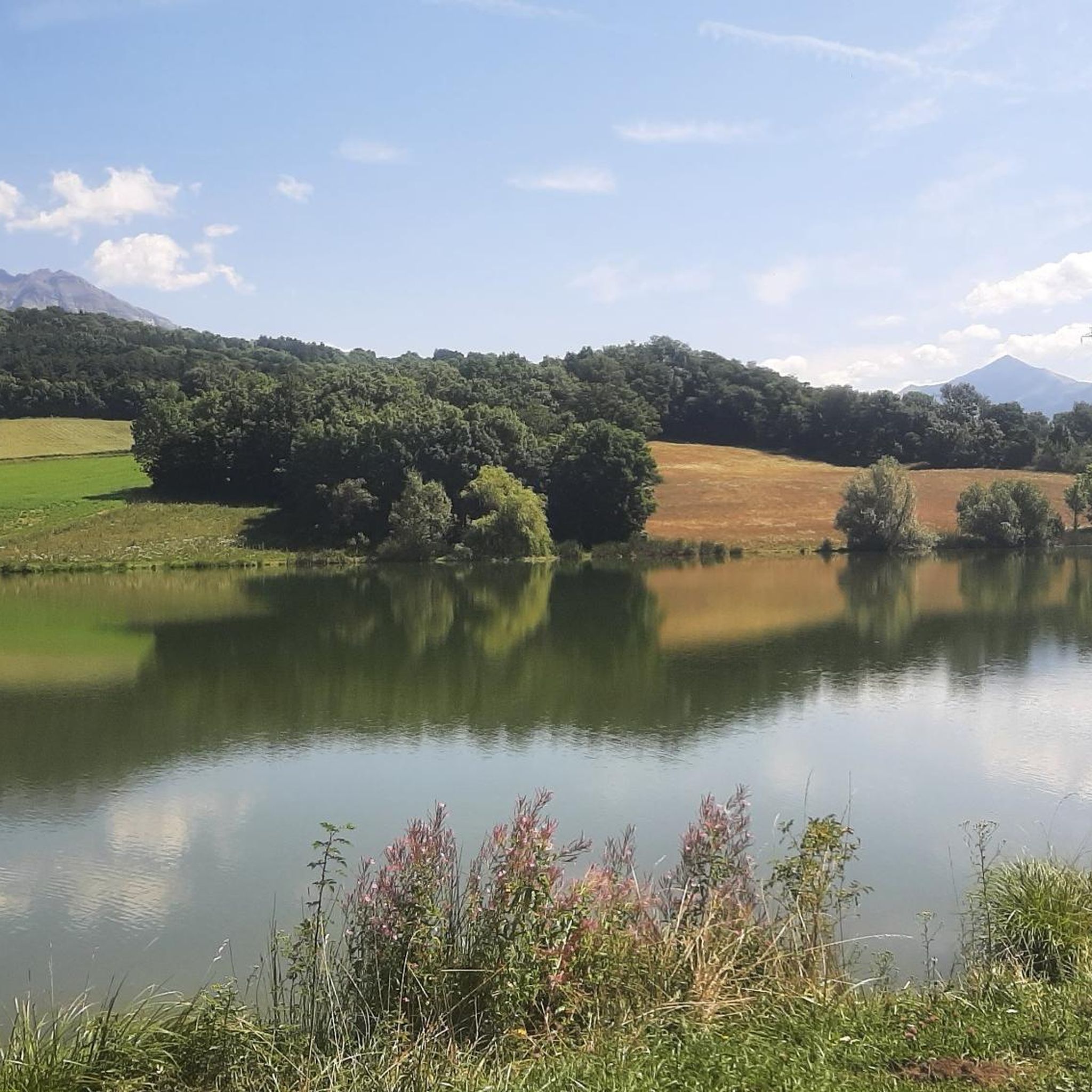
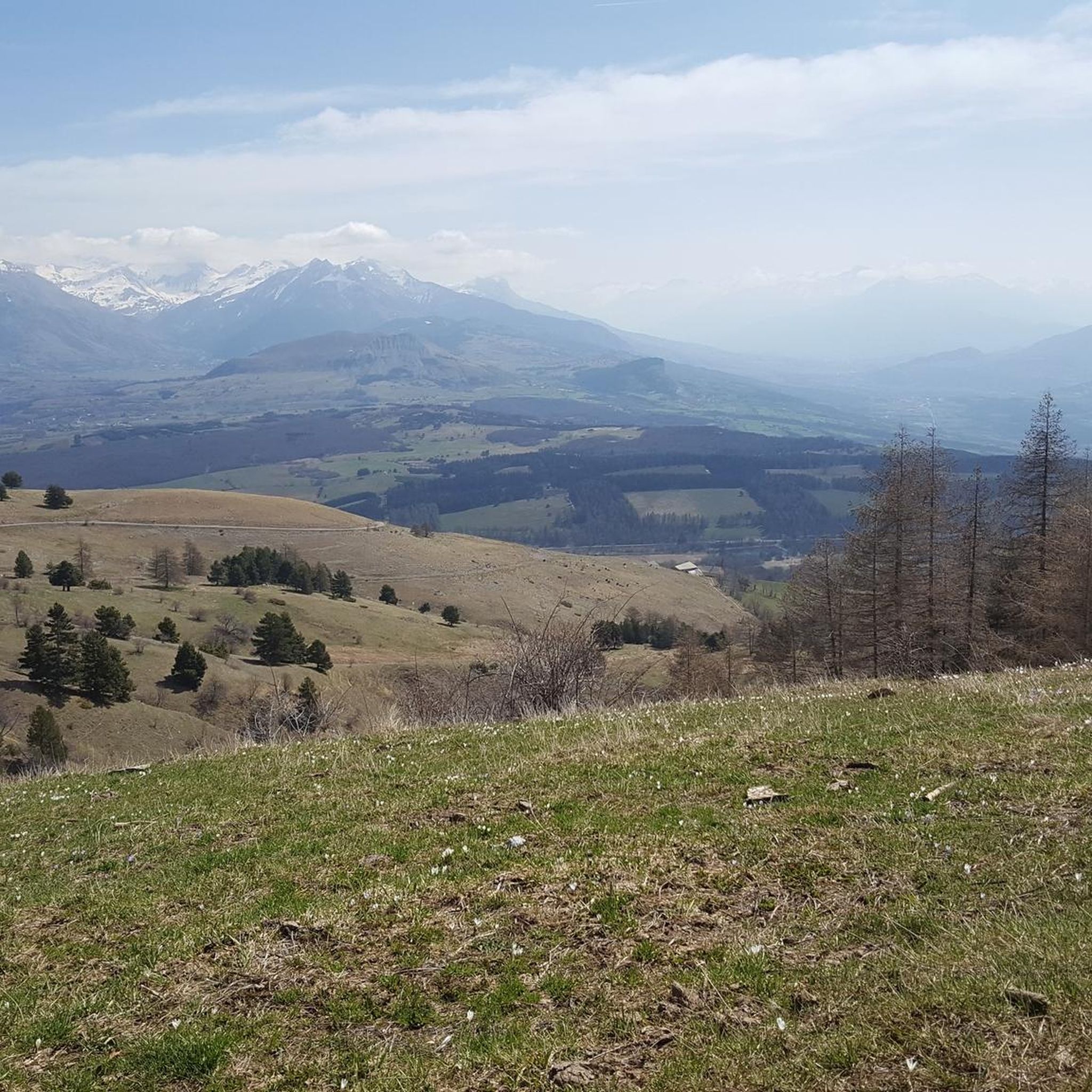
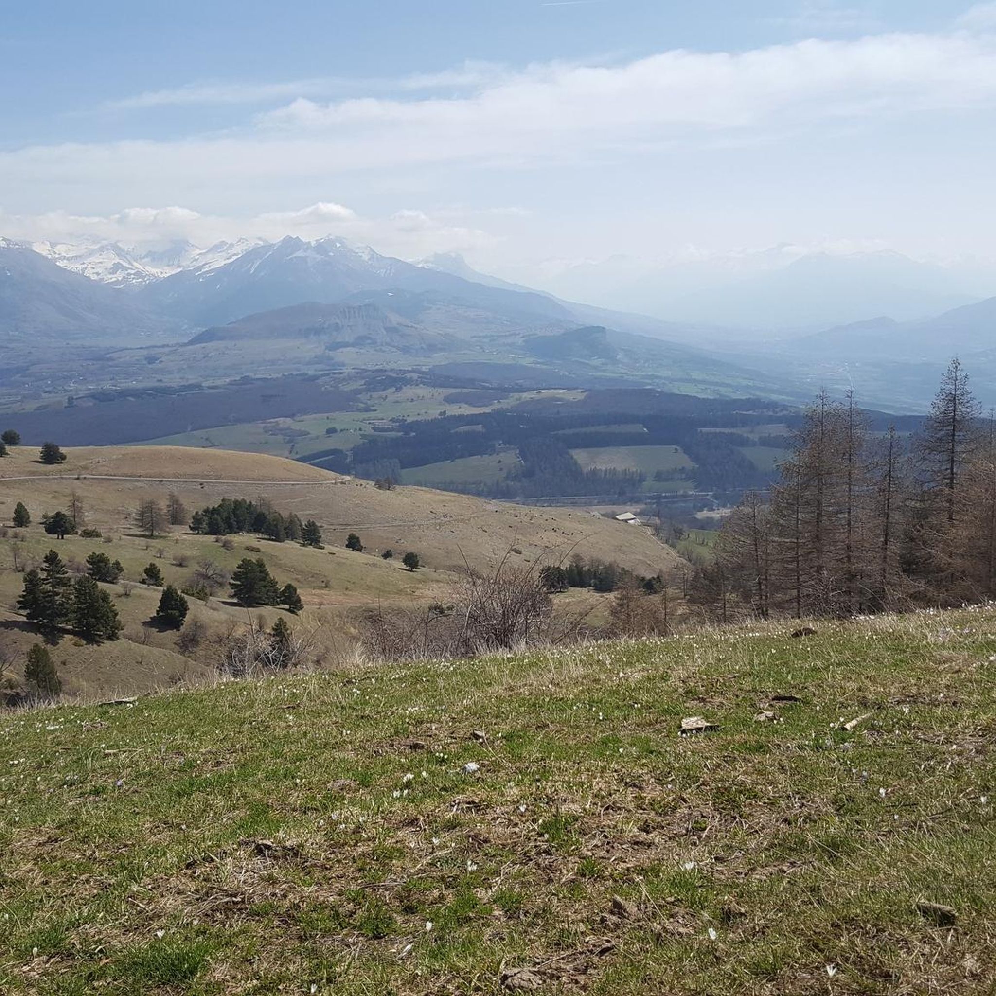
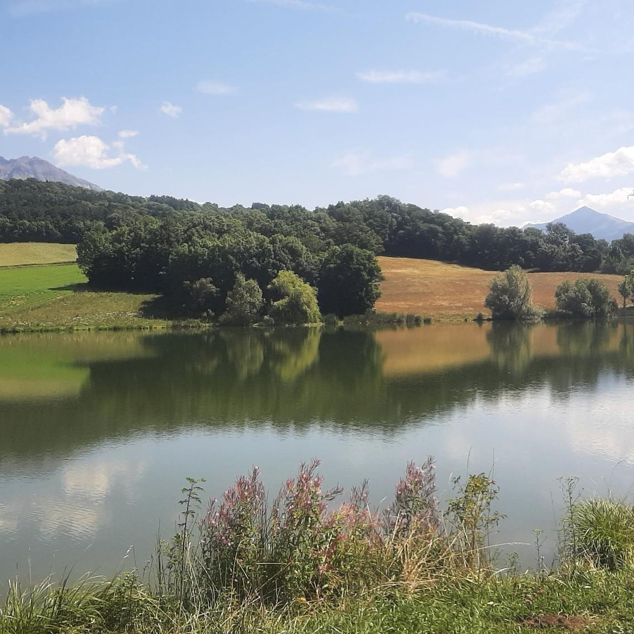
Road cycling around La Fare-En-Champsaur offers diverse terrain within the Champsaur Valley, situated at the entrance to the Écrins National Natural Park. The region features winding roads, significant elevation gains, and iconic mountain passes. Landscapes vary from bucolic fields and forests to alpine meadows and rocky formations, providing a challenging and scenic environment for cyclists.
Best road cycling routes around La Fare-En-Champsaur
- The most popular road cycling route is Chaillol 1600 – Champoleon valley loop from Bénévent-et-Charbillac, a 52.2…
Last updated: November 1, 2026
4.3
(4)
92
riders
Moderate road ride. Good fitness required. Some segments of this route may be unpaved and difficult to ride.
3.0
(1)
22
riders
32.6km
01:46
610m
610m
Moderate road ride. Good fitness required. Mostly well-paved surfaces and easy to ride.

5.0
(3)
22
riders
52.9km
02:28
560m
560m
Moderate road ride. Good fitness required. Some segments of this route may be unpaved and difficult to ride.
5.0
(2)
33
riders
45.2km
02:32
1,000m
1,000m
Hard road ride. Very good fitness required. Mostly well-paved surfaces and easy to ride.
11
riders
105km
05:35
1,990m
1,990m
Hard road ride. Very good fitness required. Mostly well-paved surfaces and easy to ride.
Get access to more routes and recommendations from other explorers.
Already have an account?
Our route recommendations are based on thousands of hikes, rides, and runs completed by other people on komoot.
Start today with a free account
Your next adventure awaits.

Tips from the Community

Ascent on a secondary road, very easy slopes. Be careful of the slightly slippery asphalt.
7
0
The Col du Festre is an Alpine pass located in the Dévoluy massif, in the Hautes-Alpes department, at an altitude of 1,441 meters. It connects the Buëch valley with that of the Souloise and is one of the main accesses to the Dévoluy territory.
7
0

short, it's almost not worth turning on the light.
1
0

A bit of freshness on the edge of the bike path in the full climb. It feels good 🍼
0
0

Beautiful pass with a great panorama and little traffic!
1
0

Interesting crossing point.
24
0

Frequently Asked Questions
What kind of terrain can I expect when road cycling around La Fare-en-Champsaur?
The region offers diverse terrain, from winding roads through bucolic fields and forests in the Champsaur Valley to challenging mountain passes with significant elevation gains. You'll encounter both smooth, sweeping roads and climbs that test your endurance, often within the stunning landscapes at the entrance to the Écrins National Natural Park.
How many road cycling routes are available in La Fare-en-Champsaur?
There are over 60 road cycling routes around La Fare-en-Champsaur, catering to various skill levels. This includes 6 easy routes, 33 moderate routes, and 30 difficult routes, ensuring options for every cyclist.
Are there routes suitable for beginners or only experienced cyclists?
While the region is known for its challenging mountain passes, there are also routes suitable for beginners and those seeking less strenuous rides. For example, the View of the Champsaur bocage loop from Saint-Bonnet-en-Champsaur is a moderate 12.8-mile trail that offers a pleasant experience through the scenic countryside.
What scenic viewpoints or natural features can I discover on road cycling routes?
Road cycling routes often provide breathtaking panoramas. You can experience magnificent vistas across the Champsaur, Dévoluy, and Gap regions from viewpoints like Col du Noyer (1664 m). The routes also pass through the diverse landscapes of the Écrins National Natural Park, featuring fir and larch forests, alpine meadows, and rocky formations.
Are there any historic villages or cultural sights to visit along the way?
Yes, the region is dotted with charming villages. The historic capital of the valley, Saint-Bonnet-en-Champsaur, is a medieval town with a charming market and historic architecture. The route Saint-Bonnet-en-Champsaur – Insane descent loop from La Fare-en-Champsaur passes directly through this picturesque village.
What is the best time of year for road cycling in La Fare-en-Champsaur?
The Hautes-Alpes region benefits from over 300 sunny days per year, making May to September ideal for road cycling. During summer, special 'Cols réservés' events close certain legendary mountain passes to motorized traffic, offering a unique and tranquil cycling experience.
What do other road cyclists enjoy the most about road cycling in La Fare-en-Champsaur?
The area is highly rated by the komoot community, with an average score of 4.6 stars from over 80 reviews. Cyclists frequently praise the challenging mountain passes, the winding roads with beautiful views, and the diverse landscapes of the Champsaur Valley and Écrins National Natural Park.
Are there any long-distance or challenging routes for experienced cyclists?
Absolutely. The region is renowned for its challenging climbs, including iconic mountain passes. For a significant challenge, consider the Chaillol 1600 – Champoleon valley loop from Bénévent-et-Charbillac, a difficult 52.2-mile trail with over 2,200 meters of elevation gain, exploring the Champoleon valley with views towards the Écrins Mountains.
Can I find loop routes for road cycling in La Fare-en-Champsaur?
Yes, many routes in the area are designed as loops, allowing you to start and end in the same location. An example of a challenging loop is the Champoleon valley – View of the Écrins Mountains loop from La Fare-en-Champsaur, which covers nearly 100 km.
Are there any specific attractions or landmarks near the cycling routes that are worth exploring?
Beyond the stunning natural beauty, you can explore several mountain passes that are popular with cyclists, such as Col de Gleize (1691 m) and Col de Manse. The region also features the impressive Chaillol 1600 area, offering great views and a sense of accomplishment after a climb.
Are there any road cycling routes that offer a fast descent?
Yes, for those who enjoy exhilarating descents after a climb, routes like Lake Aulagnier – Very fast descent loop from Laye offer a thrilling experience. This moderate 53.4 km loop includes a notable fast descent section.
Most popular routes around La Fare-En-Champsaur
Most popular attractions around La Fare-En-Champsaur

Get inspired with the komoot mobile app


Explore more
Browse the best Road cycling routes in other regions.
